
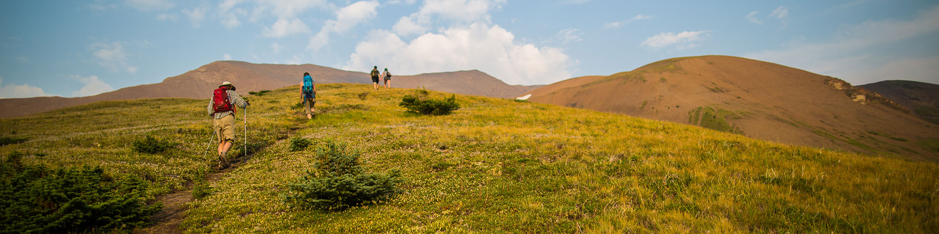
Day hiking in Jasper National Park
Jasper National Park
Please stay on designated trails and respect all closures as there may be partial trail closures where work is still needed. Tree assessment and dangerous tree removal have only been completed on designated trails and areas marked as open. Wandering off trails can harm delicate ecosystems and also puts you at risk. Closures and relevant trail information is shared on the Jasper National Park Trail Conditions page.Stay on designated trails
Since Jasper National Park was established in 1907, its historical trail networks have been expanded and maintained for everyone wanting to experience Jasper’s wilderness. Whether you are strolling along the shores of Maligne Lake or hiking all day in the alpine, the following information will help you plan a trip that is right for you.
Take a guided walk with a Parks Canada interpreter
Learn more about Healing through Fire, a guided interpretive walk.
Yes No Yes Yes No No Opal Hills Loop 8.2 km No 20 min for lower loop, 45 min for upper loopExplore the trails
Across the river
Across the river
Trail
Distance (round trip)
Time
Elevation
Trail #
Level of difficulty
Biking
Dogs
Horses
Old Fort Point Loop
3.8 km
1-2 hours
130 m
1, 1a
Moderate
No
Yes
No
Overlander Trail
31 km
10-12 hours
65 m
10
Moderate
Yes
Yes
Yes
Maligne Canyon Closed until further notice
4.4 km
2-4 hours
100 m
7g
7 Moderate
Lake Annette Loop
2.4 km
1-1.5 hours
0 m
4d
Easy
No
Yes
No
Geraldine Lakes area
Icefields Parkway
Icefields Parkway
Trail
Distance (round trip)
Time
Elevation
Trail #
Level of difficulty
Biking
Dogs
Horses
Athabasca Falls
200 m
0.5 hour
Minimal
Moderate
No
Yes
No
Lower Sunwapta Falls
2.6 km
1 hour
87 m
125
Moderate
No
Yes
No
Forefield Trail
3.6 km
1-2 hours
Minimal
53
Moderate
No
Yes
No
Toe of the Athabasca Glacier
1.8 km
1 hour
60 m
52
Moderate
No
Yes
No
Nigel Pass
14.4 km
5 hours
365 m
130
Moderate
No
Yes
Yes
Wilcox Pass
2.4 km return to first viewpoint; 8 km return to pass
1 hour return to first viewpoint, 2-3 hours return to Pass
390 m
50
Moderate
No
Yes
No
Parker Ridge
5.4 km
3 hours
250 m
51
Moderate
No
Yes
No
Jasper Connector Trails
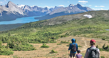
Maligne Lake
Maligne Lake
Trail
Distance (round trip)
Time
Elevation
Trail #
Level of difficulty
Biking
Dogs
Horses
4-6 hours
460 m
22
Difficult
No
No
No
Bald Hills
10.4 km
4-6 hours
500 m
23
Difficult
No
No
Moose Lake Loop
2.7 km
1-2 hours
59 m
20
Easy
No
Yes
No
Mary Schäffer Loop
3.2 km
1-2 hours
0 m
21
Easy
No
Yes
No
Lorraine Lake and Mona Lake
5.2 km
2-3 hours
80 m
100
Easy
No
No
No
Miette Hotsprings
Miette Hotsprings
Trail
Distance (round trip)
Time
Elevation
Trail #
Level of difficulty
Biking
Dogs
Horses
Sulphur Skyline
8 km
4-6 hours
700 m
30
Difficult
No
Yes
No
Mine Trail
800 m lower loop, 1.7 km upper loop
0 m
31/32
Easy
No
Yes
No
Jasper House Viewpoint
0.7 km
20 min
0 m
33
Easy
No
Yes
No
Pyramid Bench
Pyramid Bench
Trail
Distance (round trip)
Time
Elevation
Trail #
Level of difficulty
Biking
Dogs
Horses
Pyramid Trail
10.4 km
2-4 hours
118 m
15
Moderate
Yes
Yes
Yes
Cottonwood Creek Loop
5.1 km
1-2 hours
60 m
2, 2a, 11
Moderate
Yes
Yes
Yes
Patricia Lake Loop
4.8 km
2-3 hours
60 m
6
Moderate
Yes
Yes
Yes
Mina-Riley Lakes Loop
9 km
3-4 hours
172 m
8
Moderate
Yes
Yes
Yes
South of town
South of town
Trail
Distance (round trip)
Time
Elevation
Trail #
Level of difficulty
Biking
Dogs
Horses
Valley of the Five Lakes
1.8 km to 8.9 km
0.5 hours to half day
TBD
Wetland Way, Emerald Loop, Valley Loop
Easy to Moderate
Yes, seasonal restrictions
Yes
Yes, location restrictions
Wabasso Lake
6.8 km
2-3 hours
33 m
9
Moderate
Yes
Yes
Yes
West and Southwest of Jasper
West and Southwest of Jasper
Trail
Distance (round trip)
Time
Elevation
Trail #
Level of difficulty
Biking
Dogs
Horses
Caledonia Lake
8 km
4-6 hours
97 m
3
Moderate
Yes
Yes
Yes
Virl, Dorothy and Christine Lakes
8.6 km
4-6 hours
250 m
60, 60a
Moderate
Yes
Yes
Yes
The Whistlers Summit Trail
2.2 km
1-2 hours
150 m
5a
Moderate
No
Yes
No
The Whistlers Trail
13.6 km
5-8 hours
1200 m
5
Difficult
No
Yes
No
Day Hiking Guide
While we aim to achieve high standards, inclement mountain weather and events can considerably change trail conditions instantly.
How was your trip? Please submit a trail condition report.
- Date modified :