
Activities and experiences
Jasper National Park
Jasper offers breathtaking sites and memorable experiences.
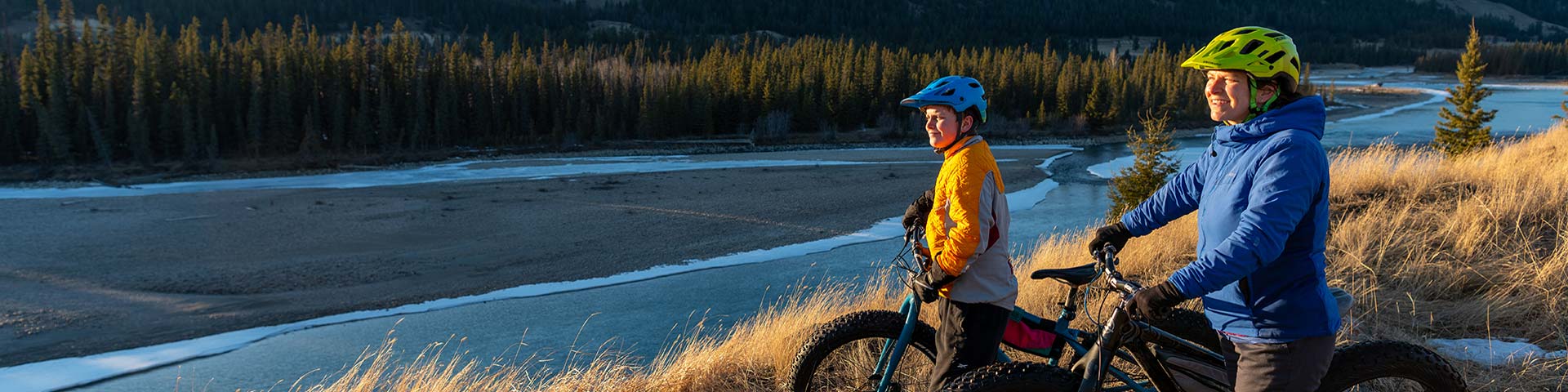
Adventurers can take advantage of alpine day hikes, incredible backcountry locations, adrenaline pumping mountain biking and great paddling. For a more relaxed pace, take in one of the many scenic drives, picnic amongst majestic peaks, and enjoy unique wildlife viewing. Winter highlights include snowshoeing, skiing on groomed trails, fat biking, skating and more!
Most requested
Free admission and discounted overnight stays
The Canada Strong Pass is back! Enjoy free admission and 25% off camping and overnight stays with Parks Canada from June 19 to September 7, 2026.
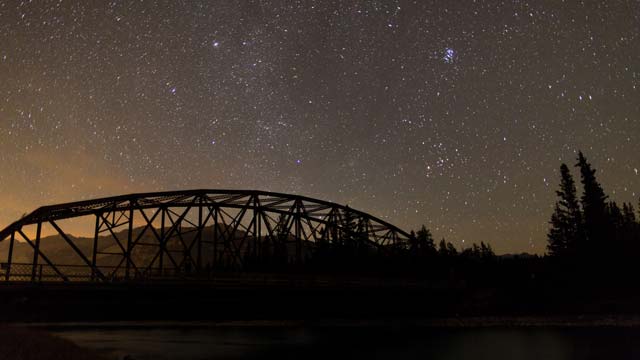
Jasper National Park's Dark Sky Preserve
Jasper National Park is the second largest dark sky preserve in the world!
Explore by points of interest
You could spend a lifetime touring Jasper’s vast wilderness, but even a half day will take your breath away.
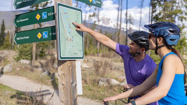
Jasper's Connector Trails
A connector trail network links the Town of Jasper to nearby campgrounds, popular swimming lakes and beaches.
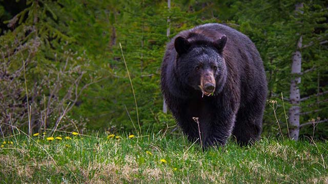
Wildlife
Wildlife spotting is one of the thrills of visiting Jasper. Depending on when you visit, you might spot black or grizzly bears, bighorn sheep, deer, mountain goats, cougars, wolves, coyotes, beaver and more.
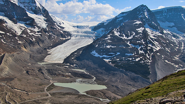
Glaciers and icefields
Explore the glaciers in Jasper's through maps, photos, research highlights, and experiences curated for the International Year of Glacier Preservation.
Stay on designated trails
Please stay on designated trails and respect all closures as there may be partial trail closures where work is still needed.
Tree assessment and dangerous tree removal have only been completed on designated trails and areas marked as open. Wandering off trails can harm delicate ecosystems and also puts you at risk.
Closures and relevant trail information is shared on the Jasper National Park Trail Conditions page.
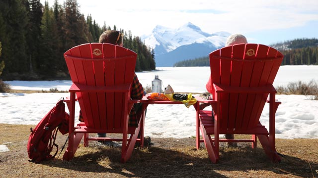
Camping and overnight accommodations
Things to do
Services and amenities
- Date modified :