
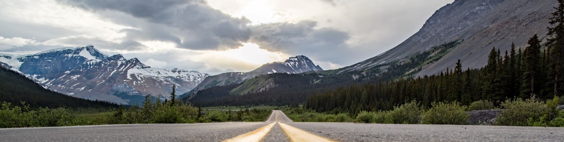
Travelling the Icefields Parkway
Banff National Park
Experience the legendary Icefields Parkway, one of the world’s most spectacular drives.
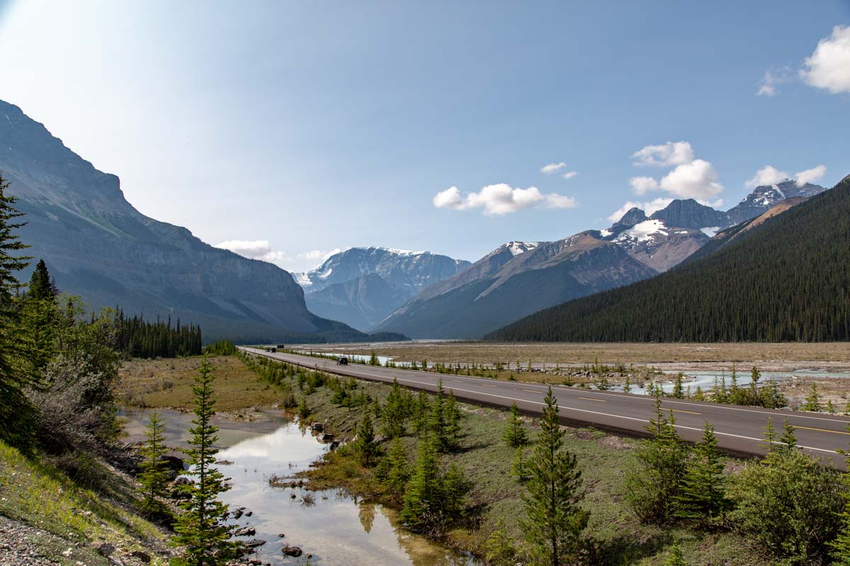
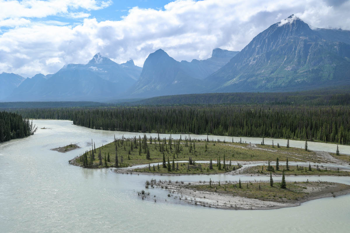
The Icefields Parkway (93N) is a scenic mountain roadway. It connects Lake Louise in Banff National Park with the Jasper townsite in Jasper National Park. The 232 km route passes through some of the most dramatic landscapes in the Canadian Rockies.
Driving the Icefields Parkway is different from highway travel:
- The Icefields Parkway is a remote roadway with limited services and no cell coverage
- Weather and road conditions can vary by season and even by hour
- Planning ahead is essential for safe travel
- Travellers should be prepared to be self-reliant, especially in winter
- Commercial vehicles are subject to weight restrictions
Respect wildlife and closures
Review wildlife safety information and check area closures before you go
On this page
- What to see and do on the Icefields Parkway
- What you need to know before you travel
- How to get around
- Where to stay
- Where to go for more information
What to see and do on the Icefields Parkway
There are many places on the Icefields Parkway to pull over and explore, from scenic roadside viewpoints to short walks, day hikes and tours. Use this guide to decide where to stop based on your available time and interests.
Stops are listed from south to north, beginning in Lake Louise and ending in the Jasper townsite. Follow along on the map as you plan your trip.
Legend


.jpg)



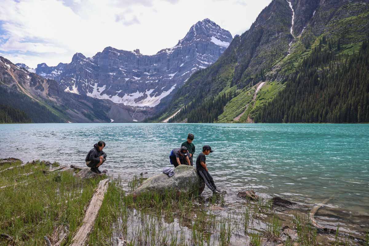
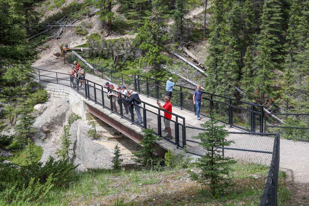
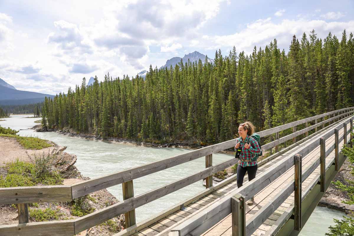
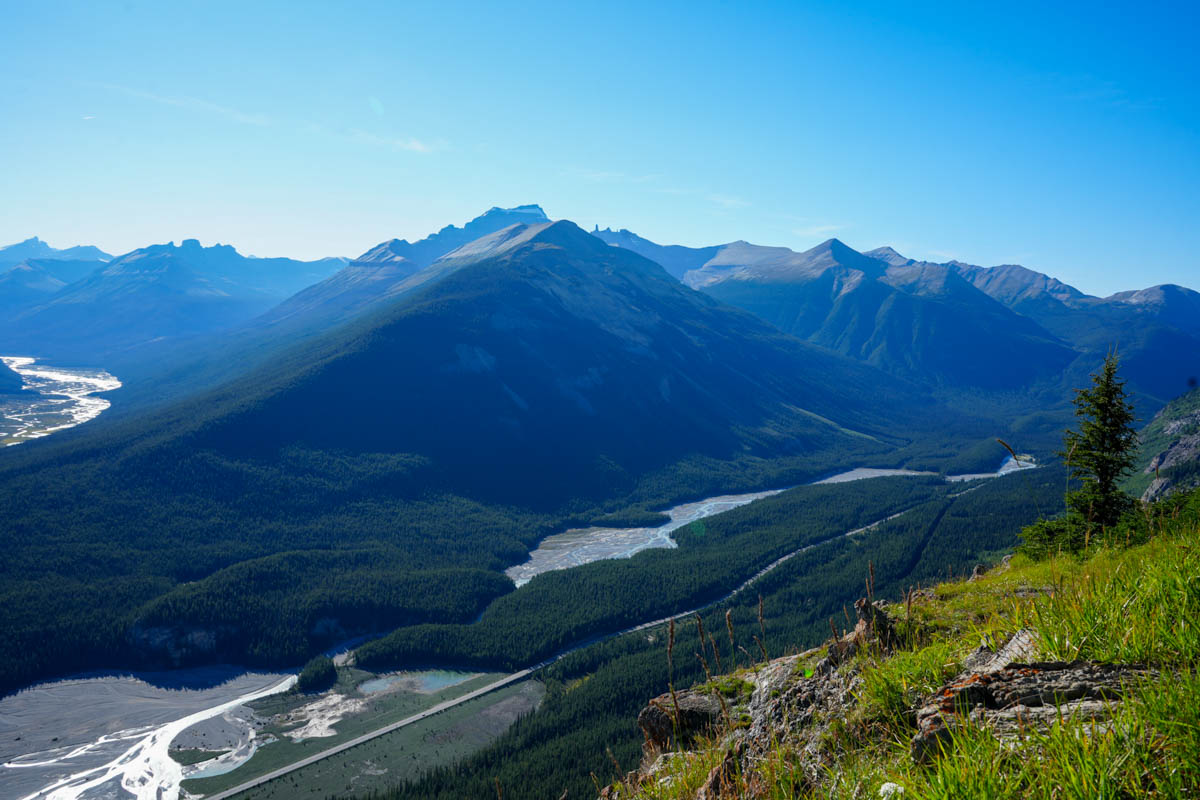
From Lake Louise to the Columbia Icefield (Banff National Park)
Community of Lake Louise


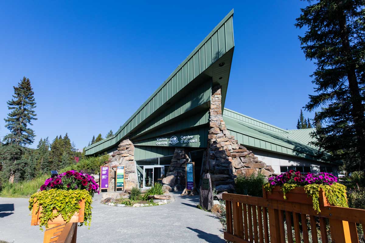
The small community of Lake Louise welcomes visitors from around the world with visitor information services, restaurants and shops. It is an ideal base for exploring the iconic trails, turquoise lakes and breathtaking scenery of the area.
Junction: Trans-Canada Highway (Hwy 1) and Icefields Parkway (93N)
From the Trans-Canada Highway (westbound), take the Icefields Parkway exit to continue your journey north towards Jasper.
Niblock Park Gate
Stop at this drive-through gate to purchase a national park pass and obtain up-to-date park information.
Herbert Lake day-use area (summer only) 
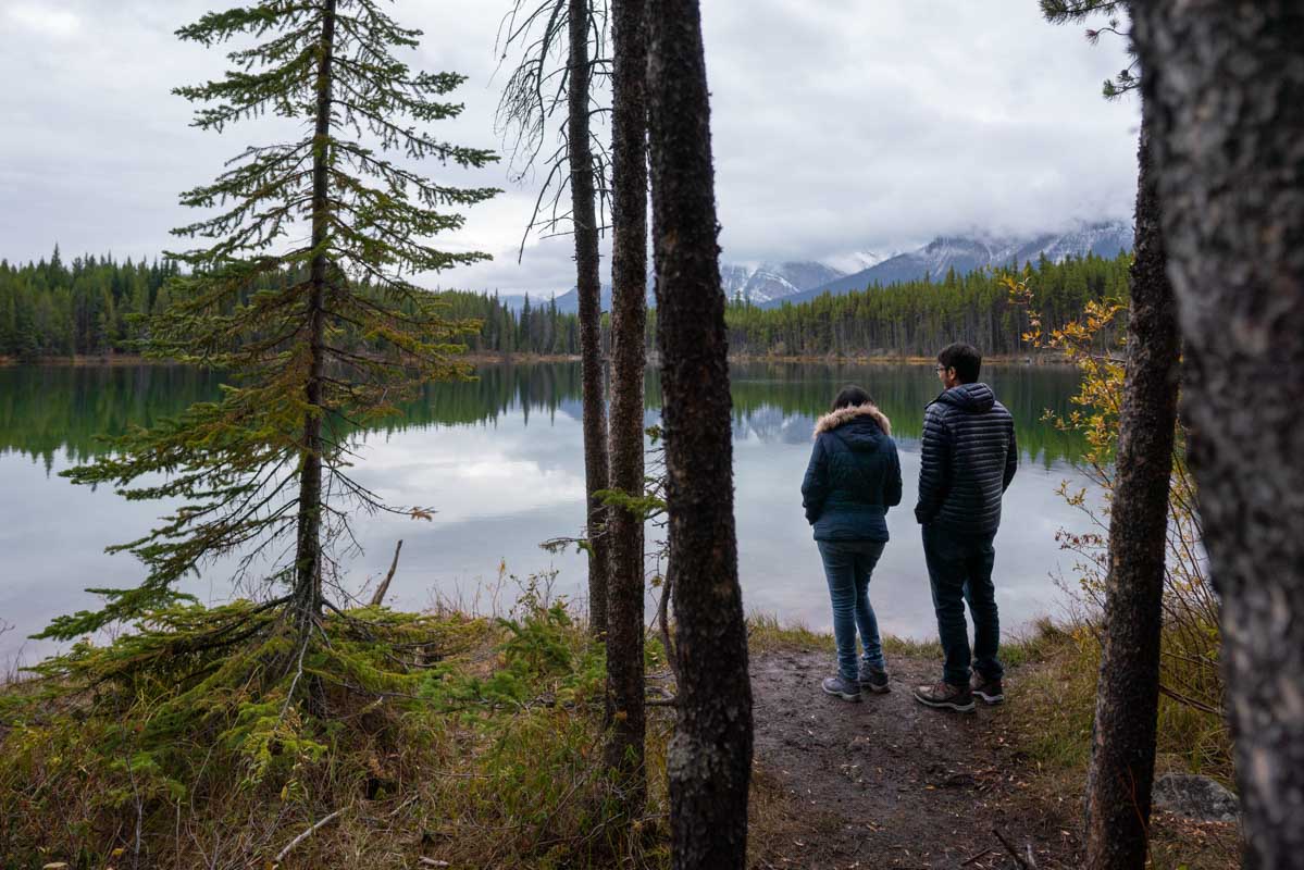
A photographer’s favourite, the still waters of Herbert Lake provide a perfect panoramic reflection of the stunning Main Range peaks, including Mount Temple. The picnic area provides an ideal place to take in the view.
Google Street View
Water activity rules and regulations in Banff National Park
Mosquito Creek Hostel
Mosquito Creek Campground (summer only)
This is a good option for campers wanting a more authentic camping experience. Campsites are unserviced and best suited for tents, or for motorhomes or trailers up to 10 m (35 ft.).
Google street view
Camping in Banff National Park
Water activity rules and regulations in Banff National Park
Molar Pass and North Molar Pass trailhead (summer only) 
Travel above treeline to the expansive alpine meadows of Molar Pass, or head higher to North Molar Pass, a rugged and stark landscape of rocky meadows.
Trails on the Icefields Parkway in Banff National Park
Water activity rules and regulations in Banff National Park
Crowfoot Glacier Viewpoint

Stop at this large pullout to see one of the first glaciers on your way to Jasper. A century ago, the Crowfoot Glacier looked like a three-toed crow’s foot. Today, one toe is gone, but this viewpoint still provides wonderful mountain views.
Helen Lake and Dolomite Pass trailhead (summer only)

Helen Lake is tucked well into the main ranges of the Canadian Rockies in a valley that abounds with alpine wildlife, wildflowers and grand vistas. From the lake, the trail continues to Dolomite Pass.
Trails near the Icefields Parkway in Banff National Park
Water activity rules and regulations in Banff National Park
Bow Lake Viewpoint and Day-use Area (summer only)
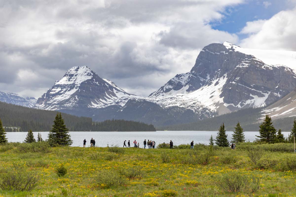
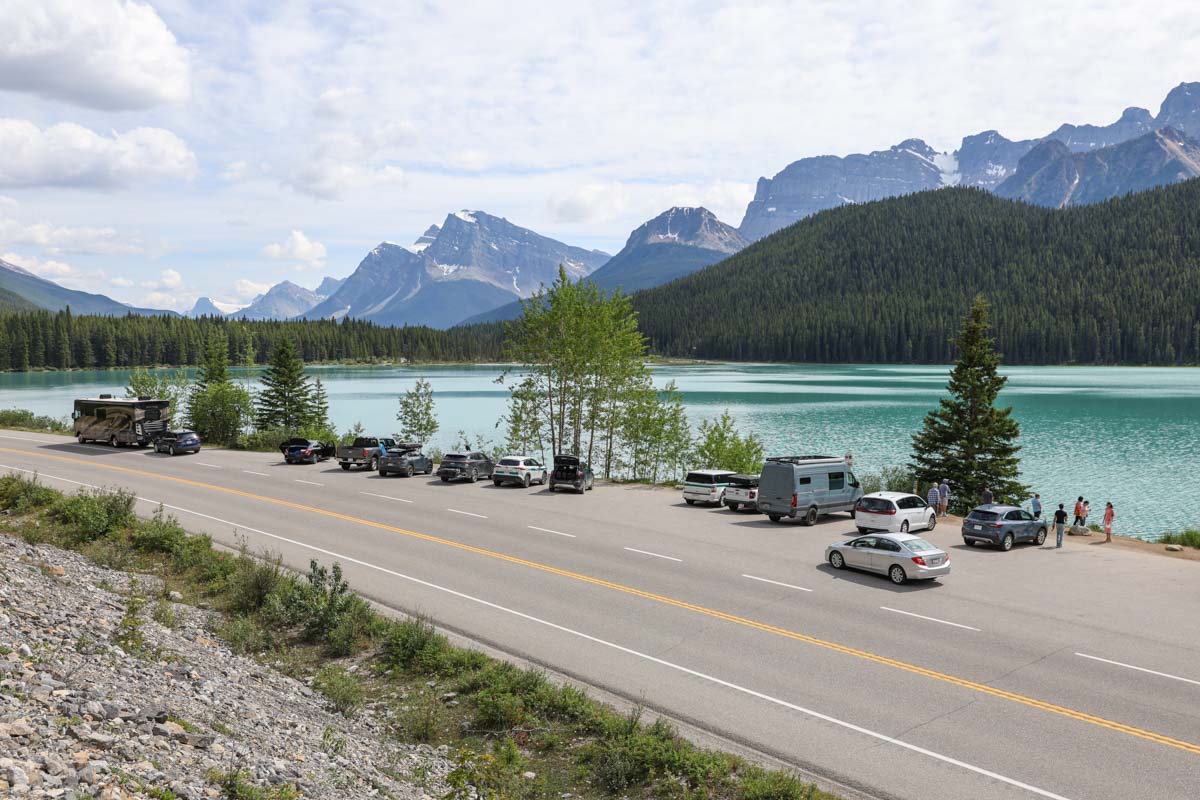
Only 30 minutes north of Lake Louise, you will encounter some of the most iconic roadside views on the entire Icefields Parkway. Stop for a quick photo or stay for a snack at this breathtaking lakeside picnic spot.
Tip: This location is 1.3 km south of the main Bow Lake access road. Make sure you don’t miss the small “picnic area” sign on the highway. From the viewpoint, keep left to find the gravel road that leads down to the day-use area.
Google street view
Water activity rules and regulations in Banff National Park
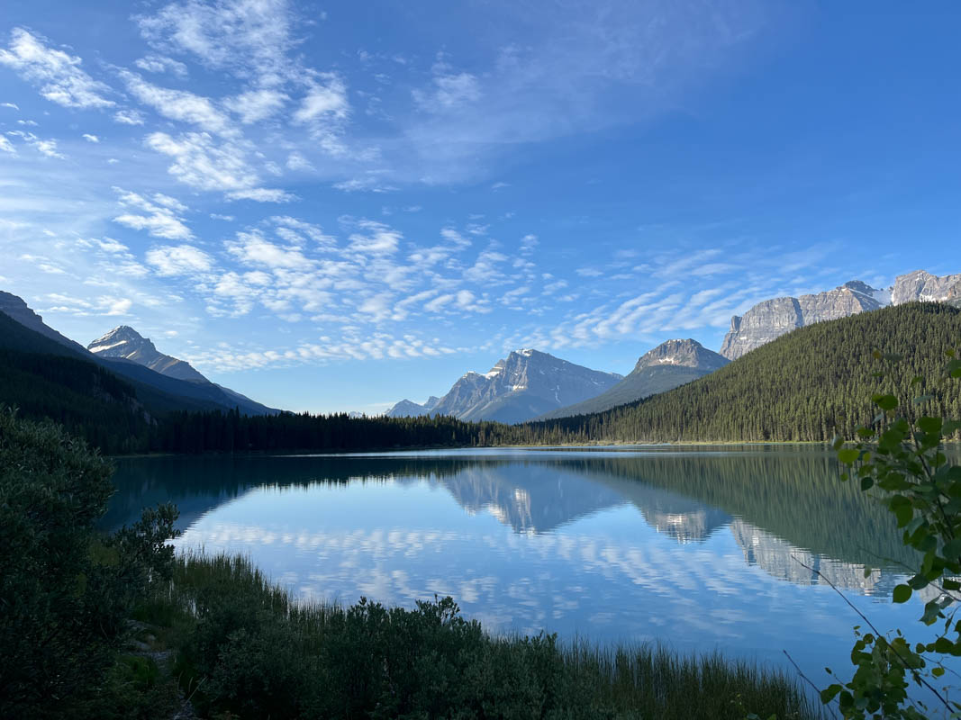
Bow Lake
The Lodge at Bow Lake (May to October)

Bow Lake
Access the main Bow Lake parking area on the north shore of the lake by turning off Hwy 93N towards The Lodge at Bow Lake. Both the parking area by the highway and the lot close to the lodge get extremely busy in the summer months - come early or late in the day to avoid the crowds. The lakeshore is accessible year-round via a short gravel trail.
Google Street View
Water activity rules and regulations in Banff National Park
Bow Glacier Falls
At the base of Bow Glacier Falls, amid the spray and roar, you can witness the birth of a river. The Bow River, part of Western Canada’s largest watershed, begins as meltwater tumbling down from the Wapta Icefield.
Peyto Lake / Bow Summit
Peyto Lake Viewpoint

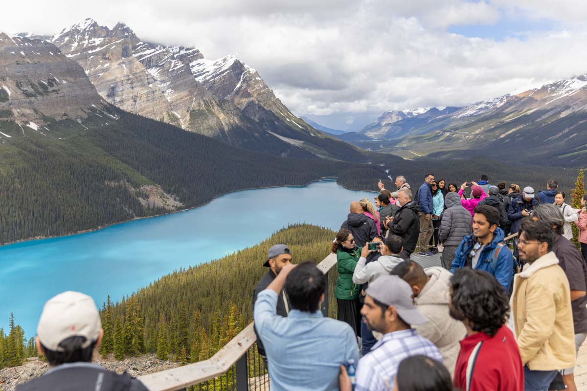
Take a short stroll up to the viewing platform to admire the turquoise lake from high up. A barrier-free trail (0.3 km) is available at the upper parking lot (to accessible vehicles and buses only).
Bow Summit Viewpoint
From the highest point on the Icefields Parkway (2070 m), hike beyond the Peyto Lake Viewpoint, then follow an old fire road to the Bow Summit Viewpoint. Watch for pikas, marmots and ptarmigan.
Peyto Lake Trail
This is a steep and rough trail for experienced hikers only! Your reward will be reaching the shores of one of the most stunning lakes in the Canadian Rocky Mountains.
Silverhorn Creek Campground (summer only)

This is a smaller, RV-friendly campground offering a rustic camping experience and expansive views. Campsites are unserviced and best suited for tents, or for motorhomes or trailers up to 20 m (70 ft.).
Google street view
Camping in Banff National Park
Waterfowl Lakes
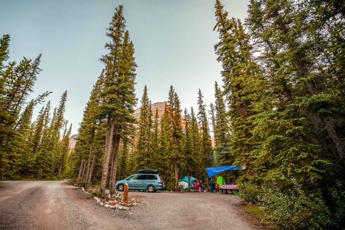
Waterfowl Lakes Campground (summer only)
This is a larger wooded campground with easy access to moderate hiking trails, a short drive from the Bow Lake and Peyto Lake viewpoints. Campsites are unserviced and best suited for tents, or for motorhomes or trailers up to 9 m (31 ft.).
Google street view
Camping in Banff National Park
Water activity rules and regulations in Banff National Park
Cirque and Chephren Lakes trailhead (summer only)
These trails are thickly forested but offer mountain and glacier views at the lakeshores. A trail fork leads to either Cirque or Chephren lake. Both trails are often muddy.
Mistaya Canyon Trail (summer only)
Take a short downhill walk and peer into Mistaya Canyon from the bridge. Witness the power of water sculpting the limestone gorge. Stay off the rocks for your safety.
Trails near the Icefields Parkway in Banff National Park
Saskatchewan River Crossing
This is a confluence along the Icefields Parkway where the North Saskatchewan, Mistaya and Howse rivers meet. The area offers visitor services in summer only, and access to nearby hiking trails and viewpoints, making it an ideal stop to stretch your legs.
Howse Pass Viewpoint
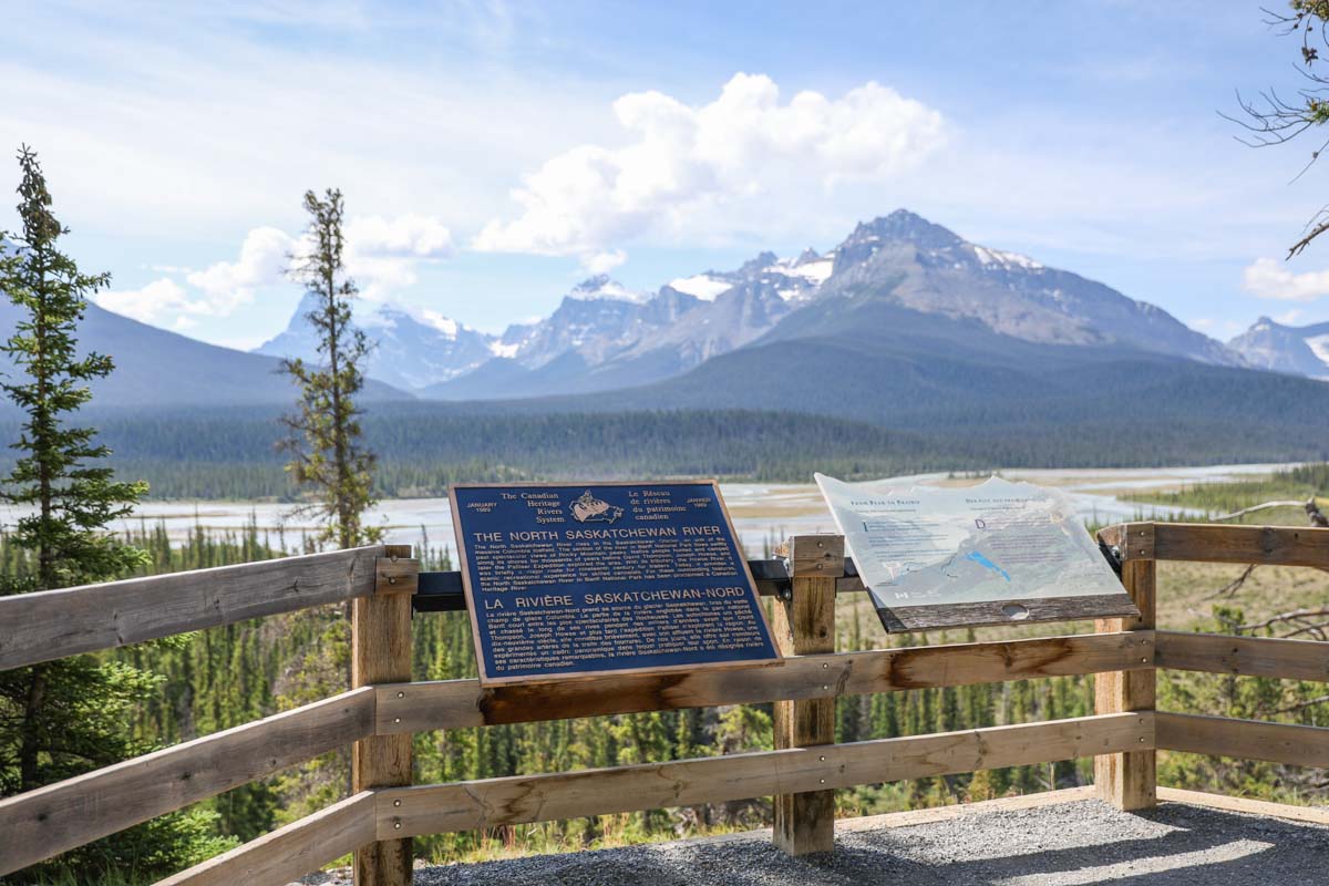
This stop offers sweeping views of the North Saskatchewan River Valley and the rugged peaks of the Canadian Rockies. It’s a perfect spot to enjoy a picnic while learning about the historic route once used by Indigenous Peoples and early European explorers crossing the Rockies.
Junction: David Thompson Highway (Hwy 11)
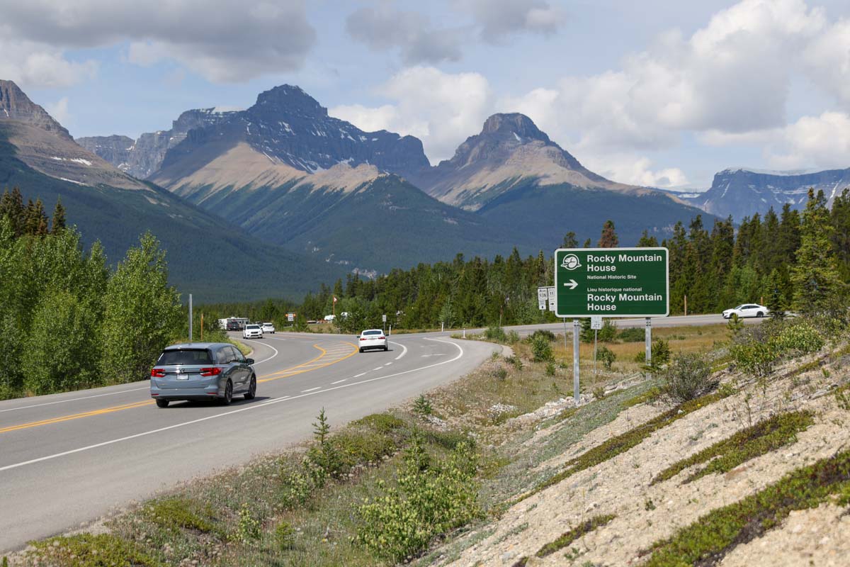
This junction provides access to: Banff National Park gate, Rocky Mountain House National Historic Site, the city of Red Deer, provincial parks and campgrounds.
The Crossing Resort (summer only)
Glacier Lake Trail (summer only)
Snow-free early in the season, this rolling, wooded trail takes you to a picturesque lake set below the very same peaks seen by early European explorers.
Trails near the Icefields Parkway in Banff National Park
Water activity rules and regulations in Banff National Park
Rampart Creek Campground (summer only)
Here you will find a secluded and rustic camping experience. The campground backs onto the North Saskatchewan River with impressive views of the valley and surrounding mountains. Campsites are unserviced and best suited for tents, or for motorhomes or trailers up to 10 m (35 ft.).
Google street view
Camping in Banff National Park
Water activity rules and regulations in Banff National Park
Rampart Creek Hostel (year-round)
Sunset Pass and Sunset Lookout trailhead (summer only)
Climb steadily through a thick forest to reach an expansive meadow atop Sunset Pass. Sunset Lookout is a side trip off the Sunset Pass Trail.
Trails near the Icefields Parkway in Banff National Park
Coleman Creek day-use area (summer only)
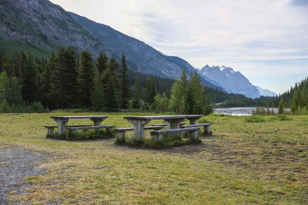
Relax and enjoy the soothing sound of the river at this ideal place for a peaceful picnic. Look for mountain goats on the nearby cliffs.
Weeping Wall Viewpoint
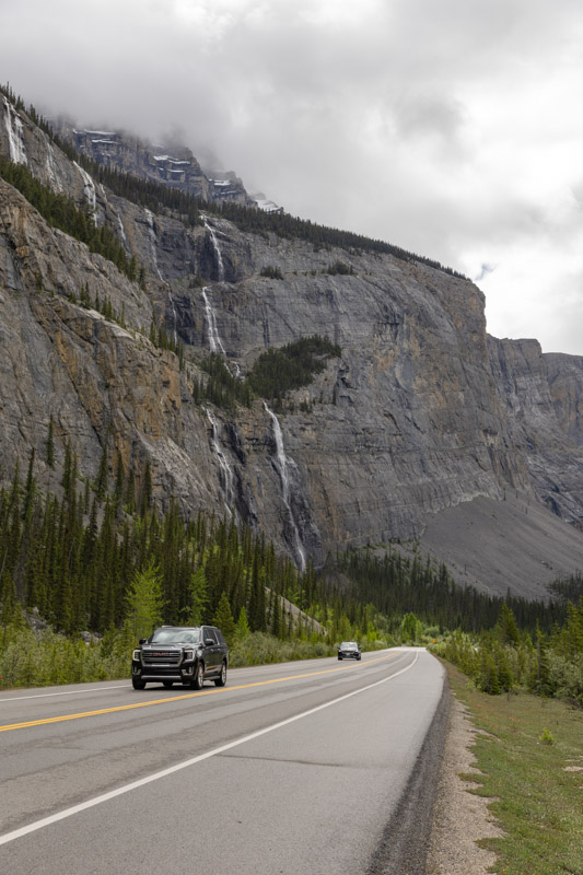
Take in a towering 300 m cliff where dozens of snowmelt streams cascade down in spring and early summer, creating a dramatic “weeping” effect. This roadside stop offers seasonal waterfalls, winter ice formations, a short walk to the river and stunning mountain views.
The Big Bend
This dramatic hairpin turn on the Icefields Parkway is impossible to miss. From designated roadside pullouts, take in sweeping views of towering peaks, deep valleys and the winding Parkway below. The Big Bend is a must-stop for photography and sightseeing along your journey.
Bridal Veil Falls Viewpoint
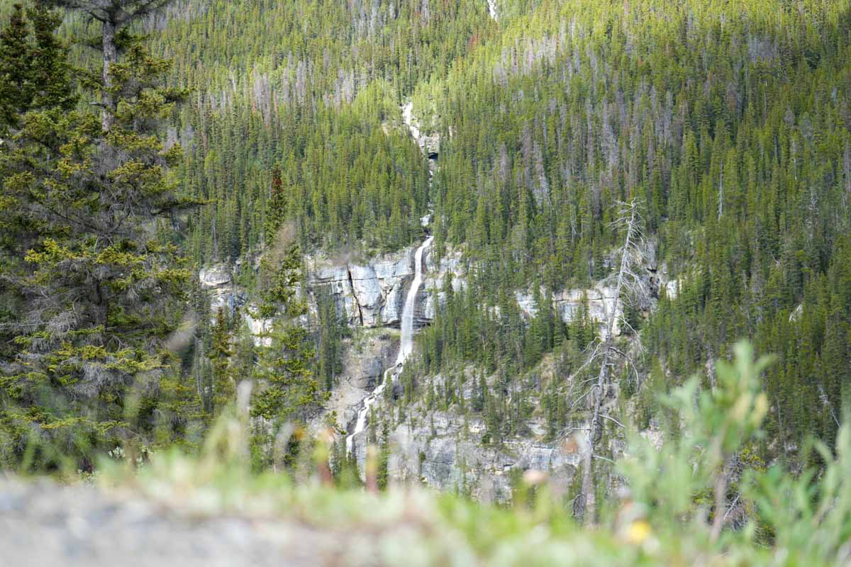
This is a dramatic 370 m cascade on Cirrus Mountain. Stop at the large, unmarked pullout at the top of the Big Bend switchback. The viewpoint is a short walk from the parking area.
Nigel Pass Trail (summer only)
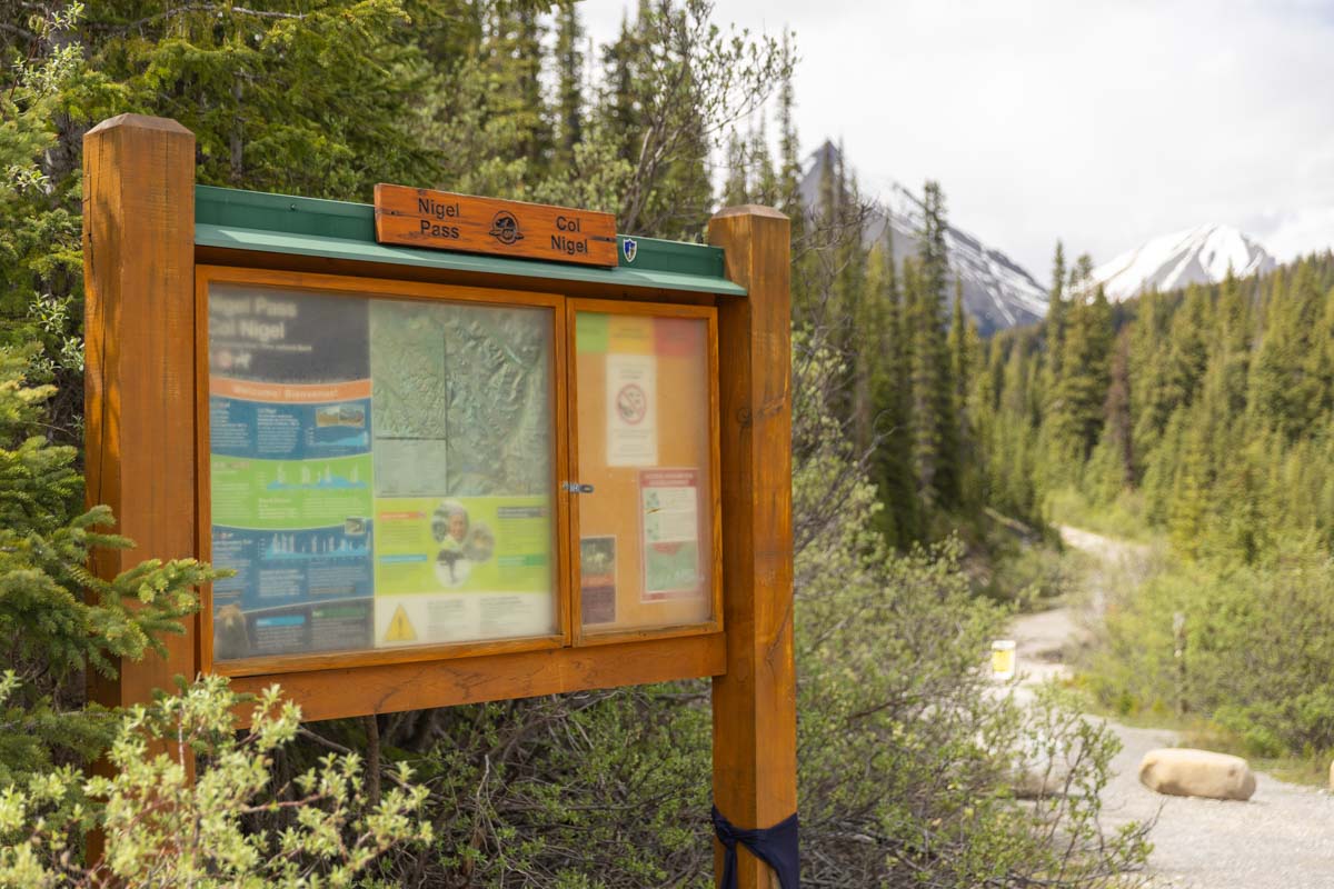
After a short walk along the old Icefields Parkway route, the trail crosses Nigel Creek and winds through subalpine forest and avalanche tracks before opening into meadows with views of surrounding peaks. Nigel Pass offers a stunning view into the Brazeau River backcountry.
Trails near the Icefields Parkway in Banff National Park
Parker Ridge Trail
This popular trail switchbacks up a moderate grade to the top of a tundra-clad ridge above the treeline. Keep going over the top and slightly down the other side for a remarkable eagle's-eye view of the Saskatchewan Glacier.
Trails near the Icefields Parkway in Banff National Park
Hilda Creek Hostel
From the Columbia Icefield to Jasper townsite (Jasper National Park)
Sunwapta Pass Viewpoint
At 2035 m, this high mountain pass marks the boundary between Banff and Jasper national parks and the continental watershed divide. Stop at the cairn at this pullout to enjoy sweeping alpine views framed by rugged Rocky Mountain peaks.
Wilcox Campground (summer only)
This is a rustic, first-come, first-served campground with basic amenities and cool subalpine nights. Its proximity to the Wilcox Pass Trail makes it a favourite base camp for hikers.
Camping in Jasper National Park
Wilcox Pass Trail

This moderate-to-difficult trail climbs quickly through forest into open alpine meadows with mountain views, a red chair photo stop and frequent bighorn sheep sightings. It follows a historic travel route once used to bypass impassable canyons along the Sunwapta River.
Trails near the Icefields Parkway in Jasper National Park
Icefield Tent Campground (summer only)
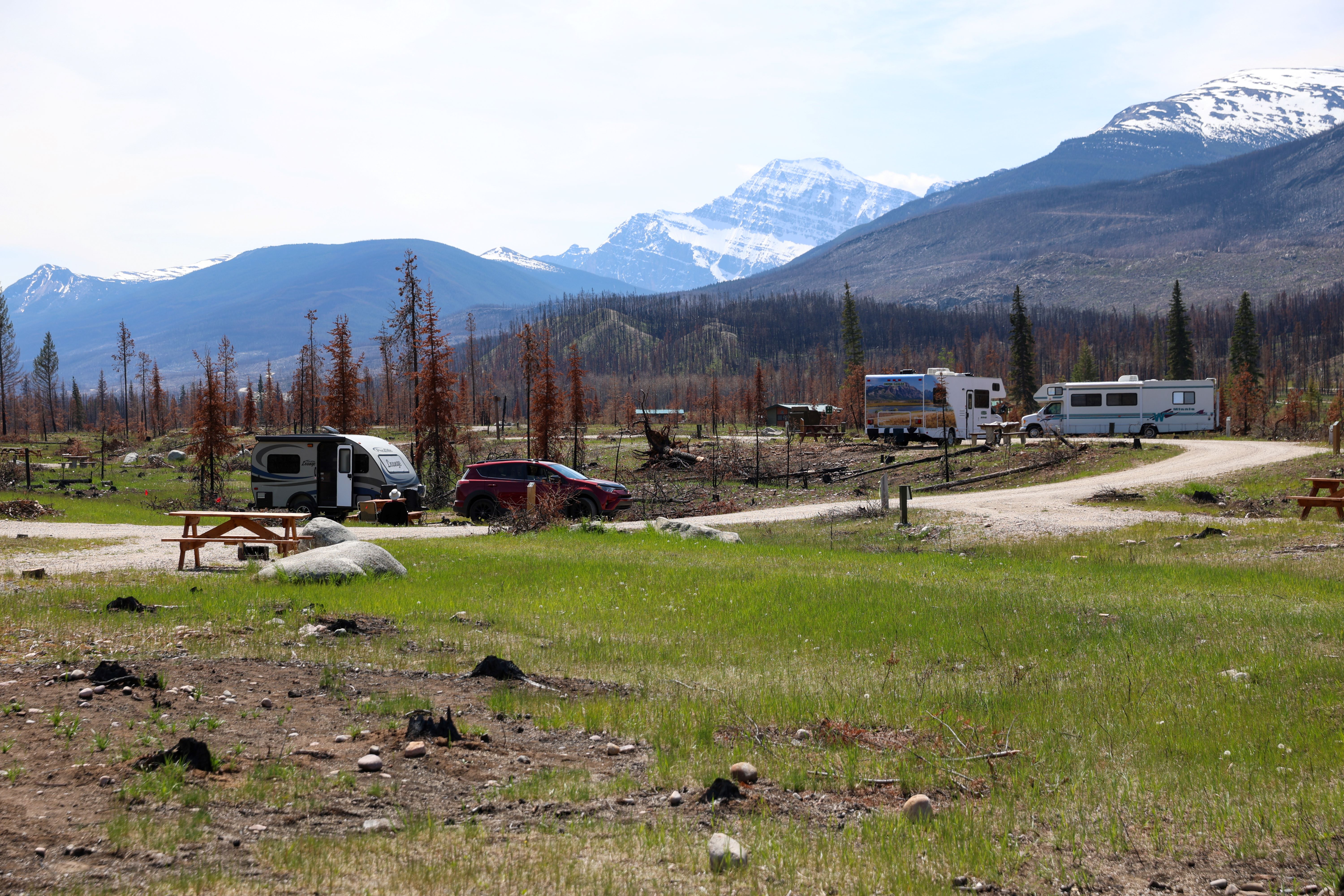
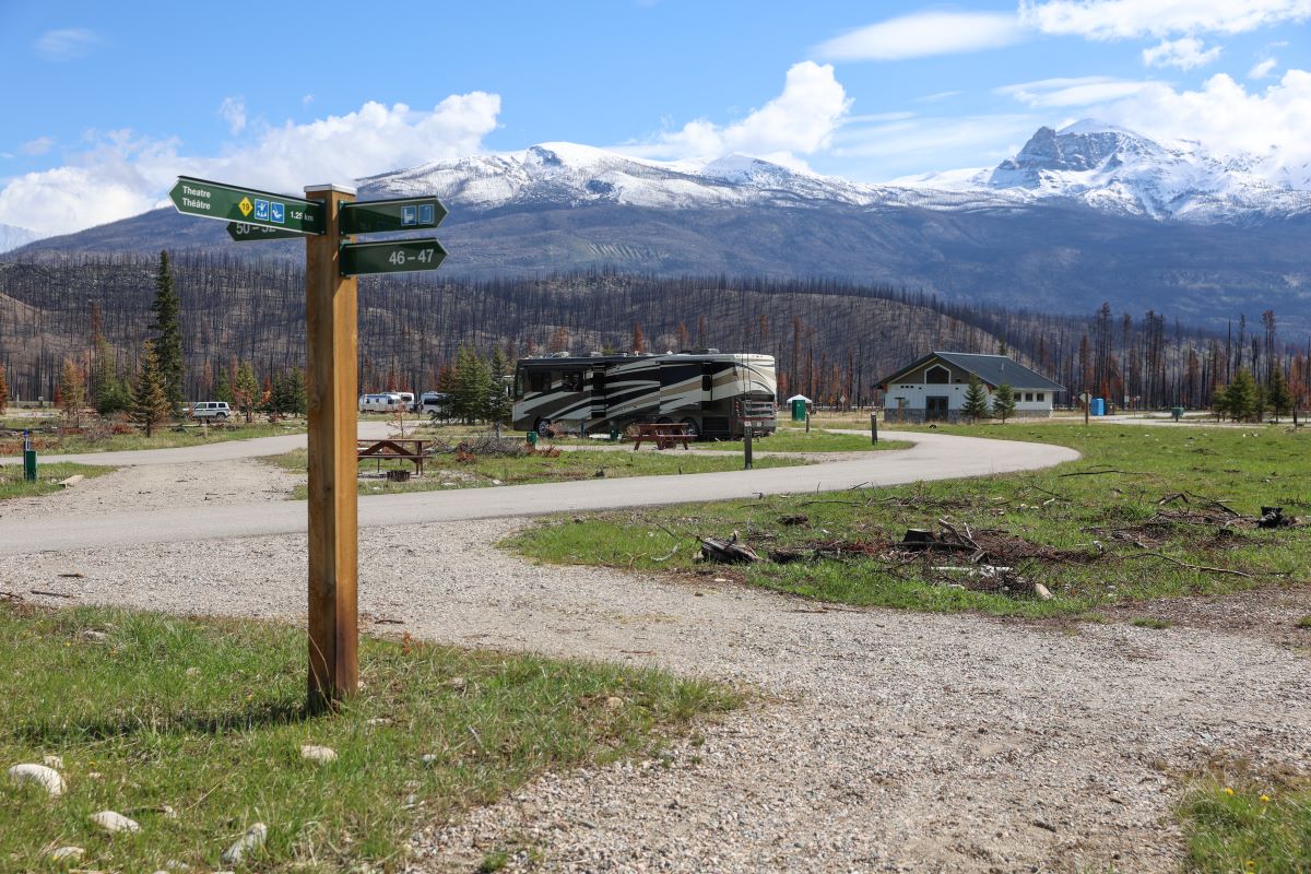
Here is a first-come, first-served campground offering front-row views of some of the Parkway’s most dramatic landscapes.
Google street view
Camping in Jasper National Park
Icefields Centre RV Camping
By day a parking area, and by night a simple overnight stop for RVs, this spot offers easy access to the Icefields Parkway. Wake up to views of the Athabasca Glacier just outside your RV door.
Camping in Jasper National Park
Columbia Icefield Discovery and Information Centre (open May-September) and Glacier Gallery (open mid-April to mid-October)


The Icefield Centre has easy access from a large parking lot and is the main hub for learning about and experiencing the icefield region. It is an ideal starting point for exploration. The Glacier Gallery features Meltdown! A Drop in Time, a striking exhibit, created with Guardians of the Ice, that deepens understanding of the Columbia Icefield’s importance to ecosystems in the Rocky Mountains and beyond.
Glaciers and icefields in Jasper National Park
Glacier View Inn
Forefield Trail (Trail 53)
This short, moderate walk crosses the rocky terrain revealed by the Athabasca Glacier’s retreat since the 1800s. It offers a rare chance to experience a landscape still actively shaped by ice and meltwater.
Trails near the Icefields Parkway in Jasper National Park
Toe of the Athabasca Glacier Trail (Trail 52)
This is a short and relatively flat trail leading to a steeper section at the lower edge of the Athabasca Glacier. It crosses recently exposed rock etched with glacial grooves. Stay on marked gravel paths, as the glacier itself is unstable and dangerous.
Trails near the Icefields Parkway in Jasper National Park
Tangle Falls Viewpoint
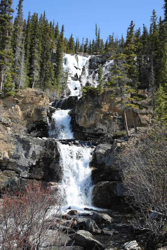
Here, a striking, multi-tiered waterfall cascades down sculpted limestone cliffs, and is easily viewed from the roadside. Beautiful year round, it’s one of the Parkway’s most photographed stops.
Google street view
Aquatic invasive species prevention in Jasper
Stutfield Glacier Viewpoint
This is a quick roadside pullout with expansive views of the Stutfield Glacier spilling down from the Columbia Icefield. Ideal for photos without leaving your vehicle.
Beauty Creek Viewpoint
A scenic roadside stop and trailhead for Stanley Falls hike (Trail 54), this is where Beauty Creek flows through forested slopes and a narrow canyon. It’s a relaxing place to stretch your legs and enjoy rushing water and mountain scenery.
Google street view
Aquatic invasive species prevention in Jasper
Beauty Creek Hostel
Mushroom and Diadem Peaks Viewpoint
Two jagged, glacier-covered peaks rise dramatically above the valley and are easily recognized from the road. The pullout allows visitors to admire the peaks’ striking shapes without hiking.
Jonas Campground (summer only)
Here is a small, quiet, first-come, first-served campground tucked in the forest near Jonas Creek. Best suited for tents, or for motorhomes or trailers under 7.6 m (25 ft.), it offers a peaceful stop with nearby mountain views. Walk-in sites and biker-only group camping available.
Google street view
Camping in Jasper National Park
Aquatic invasive species prevention in Jasper
Sunwapta Falls Resort (open mid-May to mid-October)
Sunwapta Falls
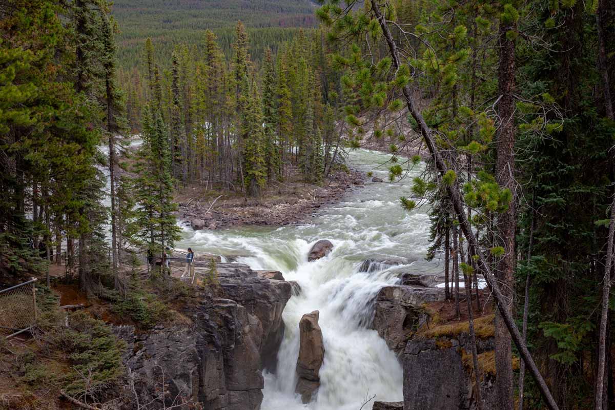
Fed by Athabasca Glacier meltwater, the Sunwapta River roars through a narrow limestone gorge in a dramatic display. Short walks, on mostly paved trails with steep sections, lead to multiple viewpoints overlooking this powerful waterfall.
Google street view
Sunwapta Falls
Aquatic invasive species prevention in Jasper
Lower Sunwapta Falls (Trail 125)
This moderate forest trail leads to a series of three lower waterfalls carved into deep rock channels. It’s a quieter alternative to the main Sunwapta Falls viewpoints.
Trails near the Icefields Parkway in Jasper National Park
Aquatic invasive species prevention in Jasper
Honeymoon Lake Campground (summer only)
Here is a small, first-come, first-served lakeside campground with tranquil views and reflective morning waters. It is ideal for a quiet overnight stop surrounded by peaks. Cyclist-only group camping available.
Google street view
Camping in Jasper National Park
Aquatic invasive species prevention in Jasper
Mount Christie Viewpoint (summer only)
This is a classic Parkway viewpoint highlighting the broad, pyramidal summit of Mount Christie above the Athabasca Valley. A flat, unpaved (but fairly firm) trail with scattered rocks leads to the iconic red Parks Canada chairs, an easy and scenic photo stop.
Goats and Glaciers Viewpoint
This roadside stop has a short (50 m) paved trail leading to a viewpoint known for featuring mountain goats on steep slopes above the river, and hanging glaciers visible in the distance. Binoculars are helpful for wildlife viewing.
Kerkeslin Campground (summer only)
Here is a small, first-come, first-served campground with mountain views, river access and basic amenities. Its location near Athabasca Falls makes it a convenient and scenic place to stay.
Google street view
Camping in Jasper National Park
Athabasca Falls
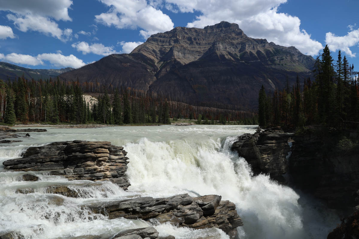
This is one of Jasper’s most powerful waterfalls, where the Athabasca River thunders through a narrow gorge. Multiple short, paved paths with several viewpoints lead to stairs and a bridge crossing the Athabasca River beside the falls, revealing dramatic canyon views and swirling turquoise water.
Google street view
Athabasca Falls
Trails near the Icefields Parkway in Jasper National Park
Aquatic invasive species prevention in Jasper
93A and Icefields Parkway (93N) (open May-October)
This road was once part of the original Icefields Parkway route. Today, the junction provides access to Athabasca Falls, Moab Lake Road, Meeting of the Waters day-use area, Geraldine Lakes Trailhead and Marmot Basin ski area. Along this seasonal route, visitors have the opportunity to witness the impact and power of the 2024 Jasper Wildfire. The road reconnects with the Parkway south of Jasper.
Note: Mount Edith Cavell (Cavell Road), Wabasso Campground, and Whirlpool Group Campground are all closed until further notice.
What’s open in Jasper National Park
Athabasca Pass Lookout
This roadside stop features the National Historic Site bronze plaque and tells the story of early fur-traders who crossed this rugged corridor.
Wabasso Lake
This moderate trail climbs and descends several low ridges, with an excellent view, from the last ridge across the Athabasca Valley, to Mount Edith Cavell and the reddish quartzite peaks north of it.
From Wabasso Lake you can continue on Trail 9 to connect to the Valley of the Five Lakes Trail (6.3 km).
Trails near the Icefields Parkway in Jasper National Park
Aquatic invasive species prevention in Jasper
Valley of the Five Lakes
Here is a popular loop trail passing five vividly coloured lakes, each with slightly different hues. Choose from a variety of routes ranging from gentle terrain to rolling hills with some steeper sections. Scenic views make it ideal for families and photographers.
Trails near the Icefields Parkway in Jasper National Park
Aquatic invasive species prevention in Jasper
Junction: 93A (Wabasso Road) and Icefields Parkway (93N) (open May-October)
This road was once part of the original Icefields Parkway route. Today, the junction provides access to Athabasca Falls, Moab Lake Road, Meeting of the Waters day-use area, Geraldine Lakes Trailhead and Marmot Basin ski area. Along this seasonal route, visitors have the opportunity to witness the impact and power of the 2024 Jasper Wildfire. The road reconnects with the Parkway south of Jasper.
Note: Mount Edith Cavell (Cavell Road), Wabasso Campground, and Whirlpool Group Campground are all closed until further notice.
What’s open in Jasper National Park
Jasper National Park gate
Southbound traffic may purchase a national park pass and obtain up-to-date park information.
Wapiti Campground
This is a large, year-round campground along the Athabasca River with powered sites, showers and easy access to trails. Elk are commonly seen, especially in autumn.
Google street view
Camping in Jasper National Park
Whistlers Campground (summer only)
This is Jasper National Park’s largest and most modern campground, offering full-service sites for tents and RVs. Its location provides easy access to the Jasper SkyTram and trail network.
Google street view
Camping in Jasper National Park
Whistlers Road
Access to Jasper SkyTram.
Junction: Trans-Canada Highway (Hwy 16) and Icefields Parkway (93N)
This is the gateway to the Icefields Parkway, connecting west toward Prince George, British Columbia, and east toward Hinton and Edmonton in Alberta.
Municipality of Jasper
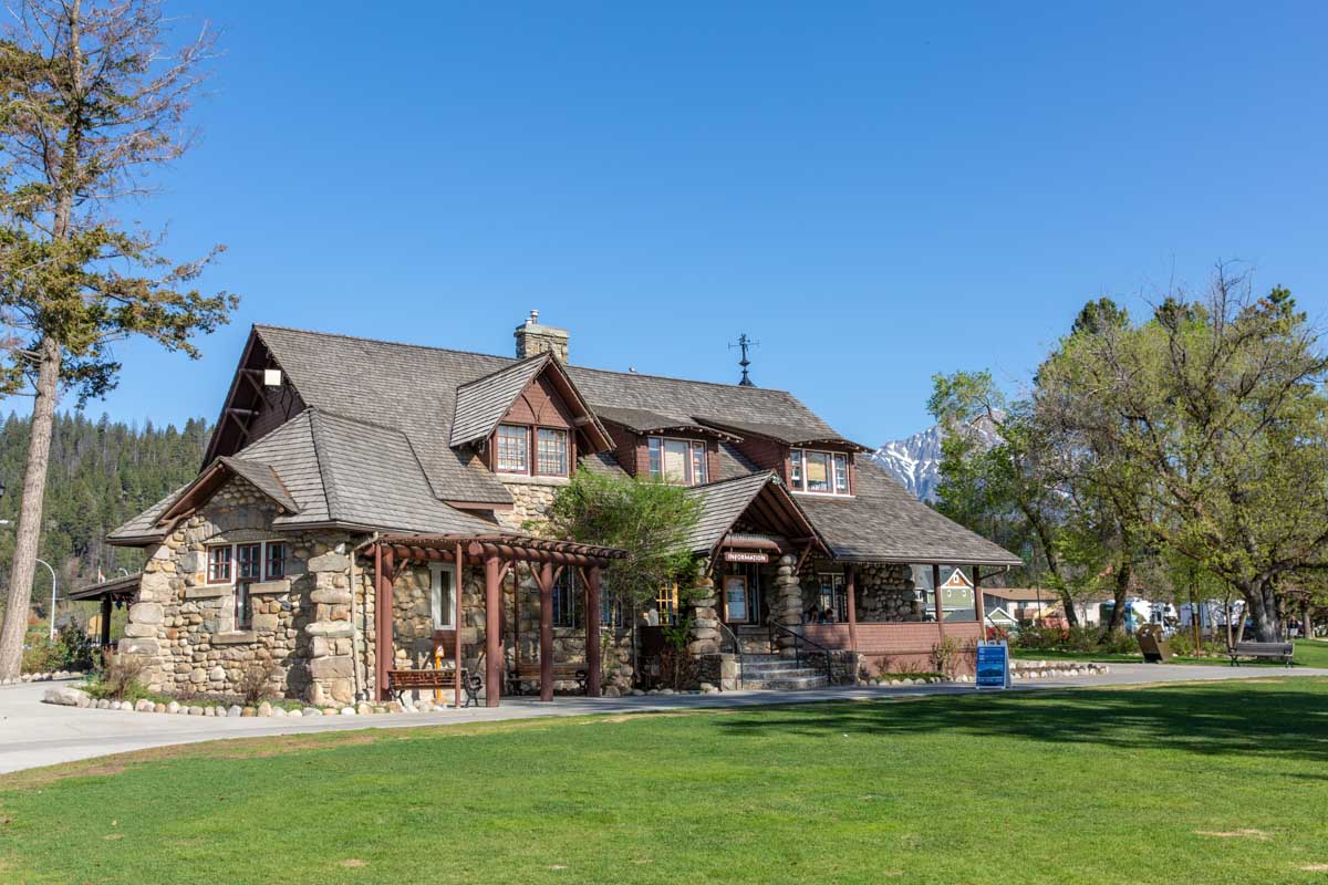
The townsite is the lively heart of Jasper National Park, with restaurants, shops, accommodations and trailheads in all directions. A perfect base to rest, refuel and plan new adventures.
What you need to know before you travel
Park passes
A valid national park entry pass is required to drive the Icefields Parkway. Pass sales support maintenance, plowing, sanding and avalanche control. Consider purchasing an annual Discovery Pass for unlimited access to many of Canada’s extraordinary treasures.
Buy your park pass here (choose either location):
Banff National Park park passes Jasper National Park park passesCell coverage
There is no year-round cell coverage on the Icefields Parkway. From May to early October, limited coverage is available only at the Columbia Icefield.
Drones prohibited

Recreational drone use is prohibited in all national parks.
- Drones and unmanned air vehicles (UAVs) pose safety risks, disturb wildlife, and affect visitor experience.
- Parks Canada strictly limits drone use within national park boundaries.
- Operating a drone without an approved permit may result in law enforcement action and fines of up to $25,000.
Wildlife safety
Your actions matter! When you leave Banff and Jasper national parks… leave them wild.
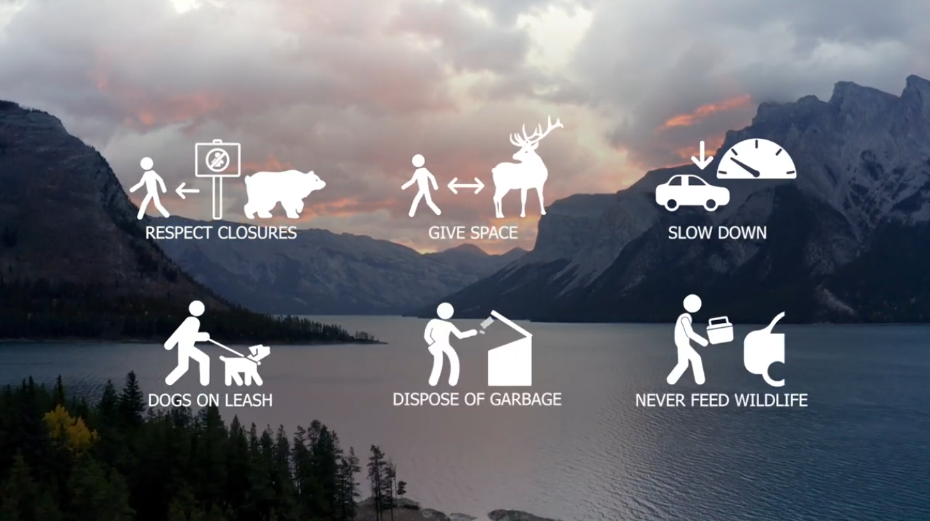
Help protect this special place by learning the #WildlifeRules before you visit:
Banff National Park: Wildlife and you
Jasper National Park: Wildlife safety
Area closures and restrictions
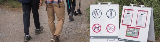
Respect all closures and restrictions. It's the law. These measures protect ecologically sensitive areas, important wildlife habitat and locations where the risk of human–wildlife conflict is high.
Research your preferred destinations before you travel. Be prepared to change plans if you encounter a closure.
Check for updates before you travel:

Jasper National Park
Seasons and weather on the Icefields Parkway
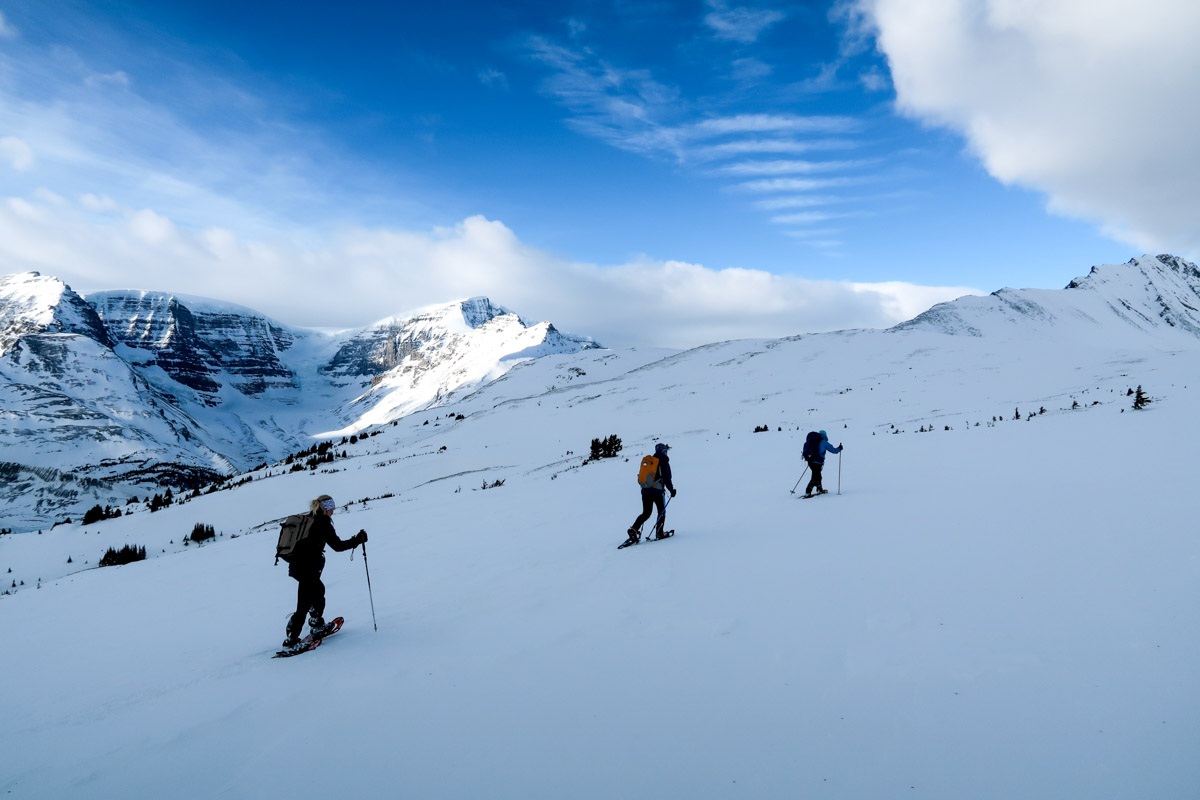
Winter weather lasts from early November to mid-June. Lakes typically thaw by late June and alpine trails are usually snow-free by mid-July. Snow can fall any time of year, and weather can change quickly. Conditions at one place on the Icefields Parkway may differ from other locations nearby.
Always check current weather conditions before you travel:
Road conditions: Call 5-1-1 in Alberta or visit 511alberta.ca
Clothing and footwear
Be prepared for cold, wind, rain and snow, even in summer.
- Dress in warm, layered clothing.
- Wear sturdy footwear with good traction.
- Bring rain protection, sun protection, and an extra warm layer.
- In winter, wear full cold-weather clothing, including insulated, waterproof boots, a warm jacket, hat, and gloves.
Proper clothing helps ensure a safe and comfortable visit.
How to get around
Visiting car-free
Looking to see the Parkway without a vehicle? Find out about alternative transportation options:
Limited parking
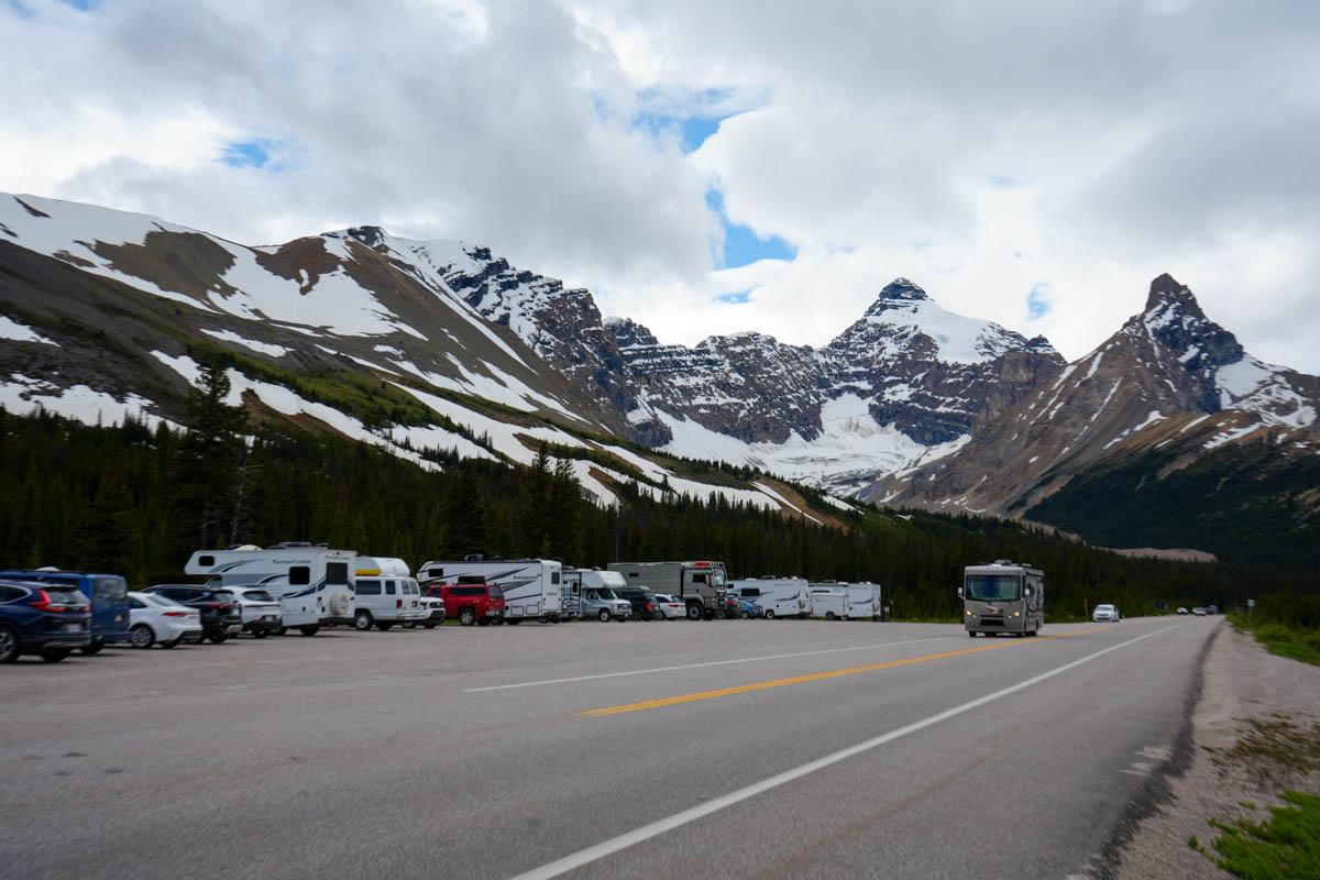
In summer, parking lots can fill early and stay full all day. There is no space to wait for a stall. Visitors should have flexible itineraries and a backup plan, should they be unable to get to their desired destination.
Parking availability updates for popular locations around Banff, Lake Louise and Jasper, can be found at BanffNow and JasperNow.
Services
Services on the Icefields Parkway are available from early May to mid-October.
Bring your own water and food. Fuel up before leaving Lake Louise or Jasper.
- Most day-use areas have outhouses.
- One gas station is available at Saskatchewan River Crossing (summer only).
In winter, there are no services between Lake Louise and Jasper (232 km):
- No gas stations
- No hotels, restaurants, or gift shops
- No cell coverage
A limited amount of outhouse facilities and day-use areas are open in the winter months.
Driving
Road conditions on the Icefields Parkway vary significantly by season. Plan your trip carefully before travelling between Lake Louise and Jasper.
For detailed information on driving the Icefields Parkway in winter, visit our safe winter driving and road maintenance web pages.
Winter weather lasts from early November to mid-June. Snow can fall any time of year, overnight summer temperatures near freezing are common, and weather can change quickly. Conditions at one place on the Icefields Parkway may differ from other locations nearby.
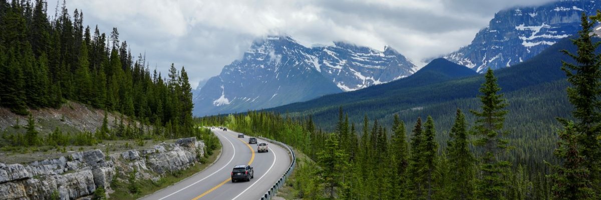
From October through May, road maintenance and snow plowing take place between 7 am and 3:30 pm.
Winter conditions can include snow-covered pavement, icy sections, poor visibility and avalanche-control closures.
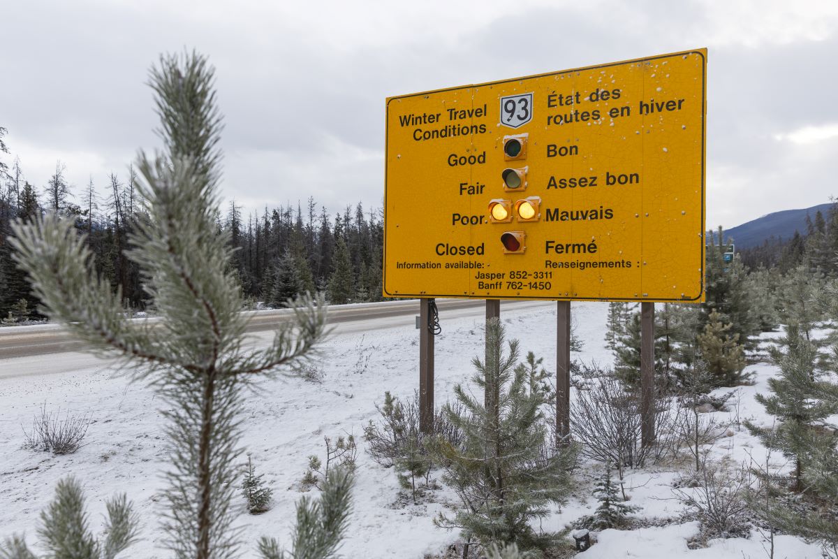
Drivers should travel based on comfort level and experience with winter driving conditions.

Snow tires
Snow tires (marked with either a snowflake or an “M+S” symbol) or tire chains are mandatory for travel on the Icefields Parkway from November 1 to March 31, or any other period during which the Icefields Parkway is covered with snow and ice.
Note: Winter tires or chains are required on most routes in British Columbia from October 1 to April 30.
Road conditions and closures: 511 Alberta
The Icefields Parkway may close due to extreme weather or travel conditions, or avalanche control. Closures occur only when necessary.
Before you travel, check road conditions and the weather forecast.
Road conditions: Call 5-1-1 in Alberta or visit 511alberta.ca
Weather forecasts:
Avalanche control
Parks Canada monitors avalanche conditions and may close the Icefields Parkway when the risk is high. While avalanche-control work helps protect motorists, it does not make surrounding slopes safe for recreation.
Many backcountry trails pass through avalanche-prone terrain. Anyone adventuring in mountainous areas in winter should have proper avalanche training, carry appropriate safety equipment and be prepared for self-rescue.
- Learn about avalanche safety from Avalanche Canada.
- Check today's Avalanche bulletin before finalizing your trip plan.
No stopping zones
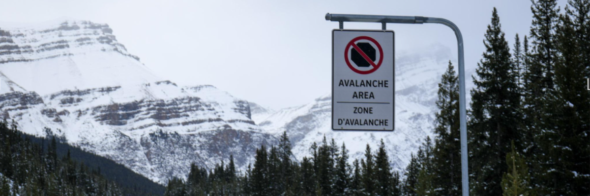
The 38 major avalanche paths along the Icefields Parkway are marked as “no-stopping zones.”
Do not stop in these zones. Some avalanche paths, where large avalanches have occurred (and are likely to occur again), can be obvious, as they remove trees and bushes. Other avalanche paths are less apparent to the untrained eye.
Overweight vehicle restrictions
The Icefields Parkway connecting Banff and Jasper national parks is a special-use corridor. It is maintained and promoted as a scenic heritage drive and offers travellers some of the most beautiful natural scenery in the world. Commercial trucks are not allowed, except by permit.
For more information, visit Service standards: Large vehicles on the Icefields Parkway (93N) and H.J. Moberly Bridge on Maligne Lake Road.
Where to stay
A variety of accommodation options are available along the Icefields Parkway. Reservations are recommended where possible.
Hotels
Explore your hotel options through Banff & Lake Louise Tourism or Tourism Jasper.
Hostels
There are six Hostelling International (HI) wilderness hostels along the Icefields Parkway.
Frontcountry campgrounds
Choose between 13 seasonal Parks Canada campgrounds along the Icefields Parkway. Most of them are rustic and unserviced. You can find fully serviced sites at the north end of the Parkway (Jasper).
Make sure you plan ahead by making reservations when possible, or have a backup plan if using first-come, first-served campgrounds.


Backcountry campgrounds
There are numerous backcountry campgrounds that are accessible from the Icefields Parkway.
A backcountry camping permit is mandatory for all overnight trips and can be obtained online at reservation.pc.gc.ca, or by calling 1-877-737-3783.
Do your research, purchase any required permits, and make reservations before you head out.

Where to find more information
- Plan your trip using the Parks Canada website and the Parks Canada App.
- Sign up for e-newsletters for Banff and Jasper national parks.
- Follow Banff and Jasper on Facebook for seasonal updates and trip-planning tips.
Banff National Park visitor centres:
Lake Louise Visitor Centre: 403-522-3833
Banff Visitor Centre: 403-762-1550
Banff National Park visitor centres hours of operation
Jasper National Park information centre:
Jasper Information Centre: 780-852-6176
Jasper National Park Information Centre hours of operation
Online brochures:
Banff National Park brochures
Jasper National Park brochures
- Date modified :