
Mud Creek Trail
Prince Albert National Park
Passage through Time and Space
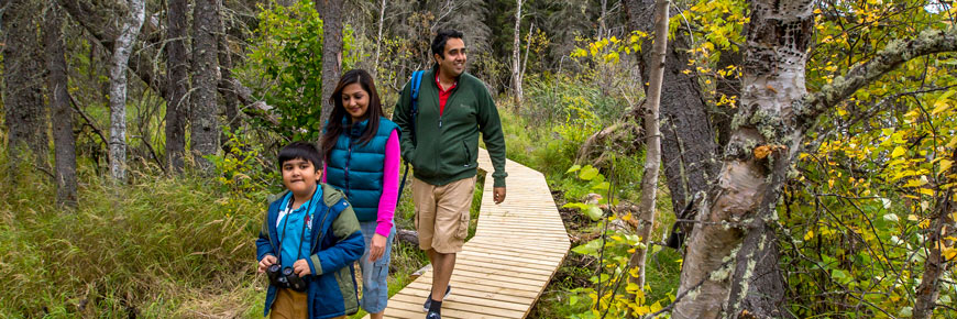
Mud Creek Trail is a path through transition, from lake to river and spruce to aspen. Glimpses of King Island and Mud Creek wink through the trees.
First Peoples camping, bears fishing, pike spawning, beavers building, floatplanes landing, Boy Scouts rallying, tourists shopping... all of these activities took place at different points in time and all here at Mud Creek! Walk the passage through changing communities, then and now.
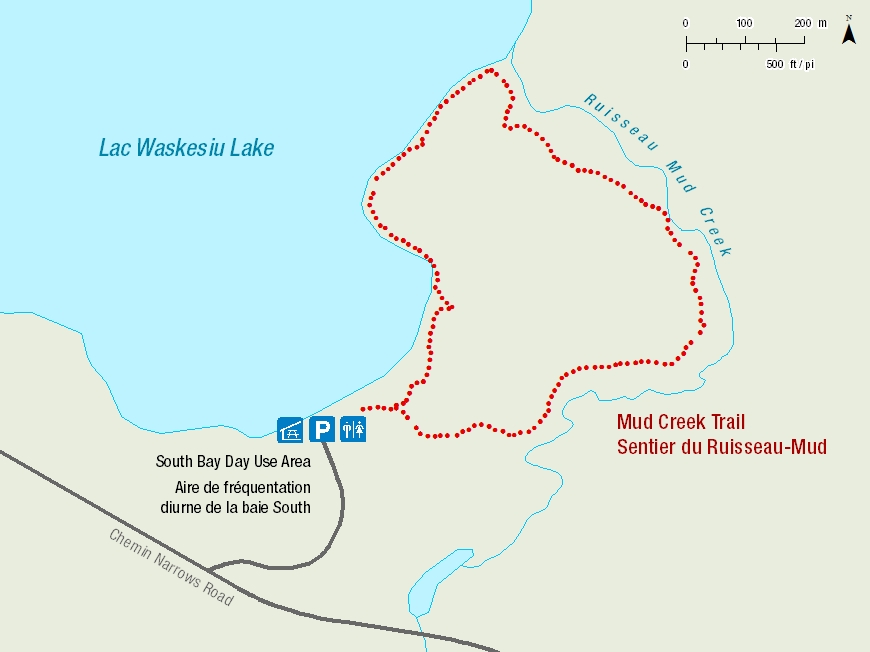
Length: 2 km loop
Time: 45 to 60 minutes
Level of Difficulty:  Easy
Easy
Significant Features: This lakeside trail turns upstream to follow Mud Creek through an aspen forest. In the spring, spawning fish attract black bears to the area.
Trailhead: 4.5 km down the Narrows Road, access at South Bay Day-use area.
GPS Co-ordinates for Trailhead (in decimal degrees):
Lat.: 53.89969156 Long.: -106.15693873


Related links
- Trail conditions
- Amyot Lake Trail
- Treebeard Trail
- Routes to Grey Owl's Cabin
- Fisher Trail
- Grey Owl Trail
- Hunters Trail
- Kingsmere River Trail
- Boundary Bog Trail
- Narrows Peninsula Trail
- Red Deer Trail
- Spruce River Highlands Trail
- Waskesiu River Trail
- Shady Lake Trail
- Freight Tait Springs Trail
- Height-of-Land Lookout Tower
- Valleyview Trail Network
- Elk Trail
- Date modified :