
Activities and experiences
Nahanni National Park Reserve
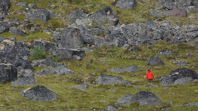
Nahanni National Park Reserve is considered a paradise for those adventurers who pursue remote wilderness. Alpinists are drawn to the Cirque of the Unclimbables, paddlers explore the heart of the reserve and mountaineers trek, compass in hand, across range, meadow and karst. Interpreters located within the park convey the Dene culture to the curious.
Featured
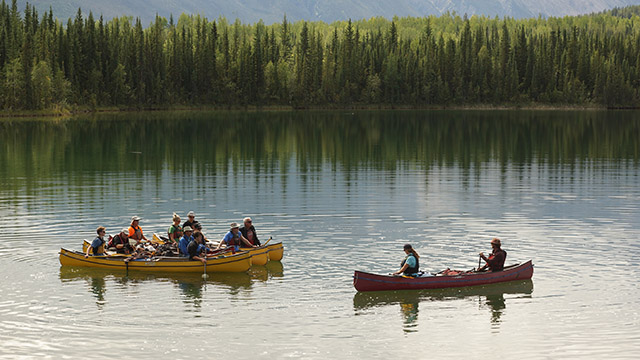
Nahanni river trips
National Geographic ranks the Nahʔą Dehé (South Nahanni River) trip among its Top 20 Tourism Adventures in the World. The reserve offers more than one river. Experienced paddlers also explore the Little Nahanni River Tu Naka Dé (Flat River)
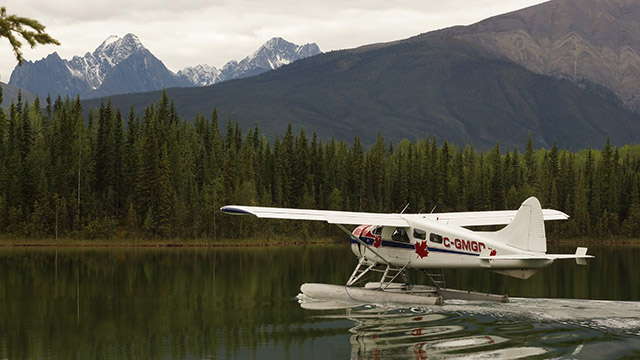
Nahanni day flight experience
A flightseeing excursion in Nahanni National Park Reserve provides access to icons of this UNESCO World Heritage Site and to remote areas few others will behold.
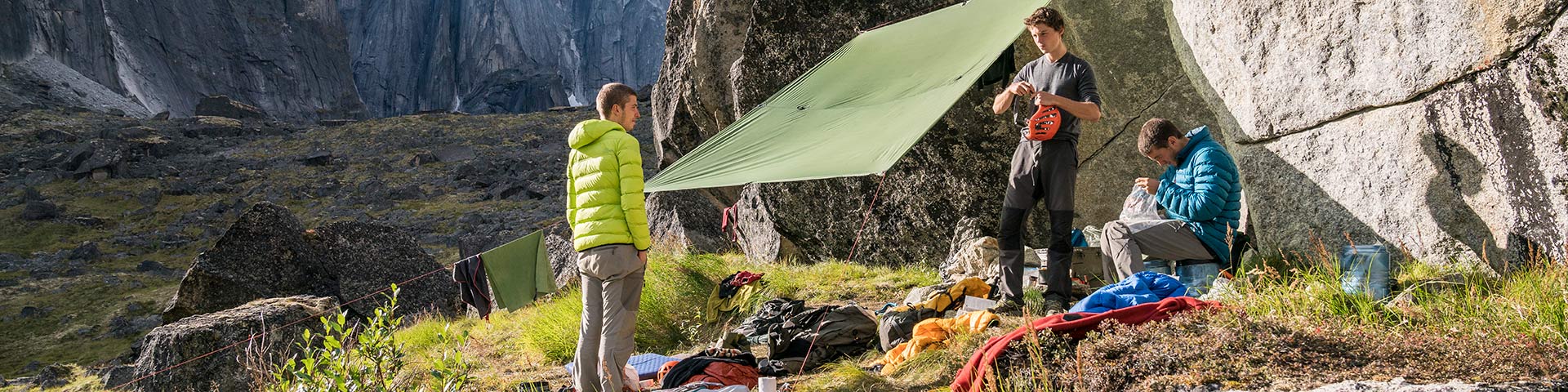
Nahanni alpine experience
Nahanni combines wilderness with diverse peaks to create a mountaineering mecca for outdoor enthusiasts. Top climbers ascend the world-renowned Lotus Flower Tower. Trekkers explore the valleys and mountain passes of the Ragged Range.
Nahanni Butte Community Experience
Parks Canada works closely with the residents of Nahanni Butte to provide visitors with unparalleled insights into the Dene culture and history
Essence of Tourism Destination
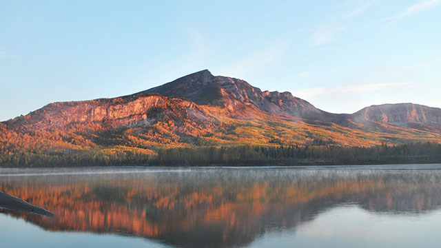
Nahanni National Park Reserve (Nahʔą Dehé) is a UNESCO world heritage site globally renowned for its geologic landforms. An incomparable northern wilderness, Nahʔą Dehé harbours sheer granite spires, vast alpine plateaux and at its heart the South Nahanni, a Canadian Heritage River. This great-spirit water thunders at Náįlįcho (Virginia Falls) and meanders through the deepest canyons in Canada. Natural labyrinths of Nahanni Karst are among the most spectacular examples of this landform type known to humankind. Mineral spring cauldrons of Gahnįhthah form the largest tufa mounds in Canada. Gahnįhthah is a sacred site - home to the horizon walker Yamba Deja, who created Dene law. Far greater than the sum of its landforms, Nahanni is a cultural landscape. It is a place of deep and timeless significance. Visitors are welcomed to the land by the Dehcho First Nations, whose ancestors have called Nahʔą Dehé home for untold centuries. Climbers, hikers, paddlers and visitors of all kinds find personal inspiration and connection to this rugged land and its people. Nahanni is a Dehcho First Nations gift to Canada, and Canada’s gift to the worldNahanni National Park Reserve of Canada
Transcript
Nahanni National Park Reserve of Canada
Greatest river trip in the world
Bill Mason, filmmaker, author, naturalist, canoeist
Naha Deh. The legendary South Nahanni River
All of our land is important...
The land takes care of us, and we take care of the land.
Dehcho First Nations
Taking Care of Naha Deh. Naha Dh K'odi
Nahanni is growing: from 4766km2 to over 30,000km2.
We love the land. The water sustains life...
The animals, birds, fish and berries feed us...
The plants and earth heal us...
The land gives us our legends and history...
...Even when we dont walk on it, our spirit walks on it.
Dehcho First Nations
Canada's gift to future generations.
The Expanded Nahanni National Park Reserve of Canada
Things to do
- Date modified :