
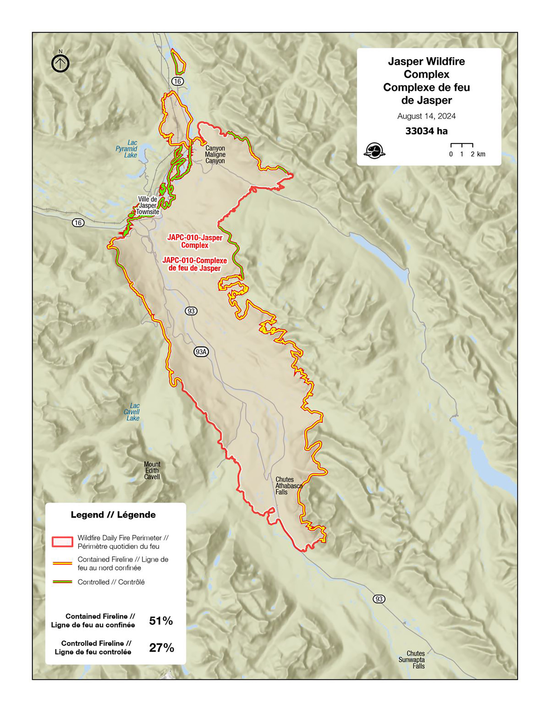
August 14, 2024
Wildfire status — Jasper Wildfire Complex
Jasper National Park
Portions of Jasper National Park remain closed or affected due to impacts from the Jasper Wildfire. Please check for up to date information.
Information and updates on active wildfires are posted to the Jasper National Park Facebook and X channels.
On this page
- Area closures and restrictions
- Wildfire updates
- Photos
- Damage assessments
- Emotional support and mental health
- Helpful links
- Alberta and BC wildfire information
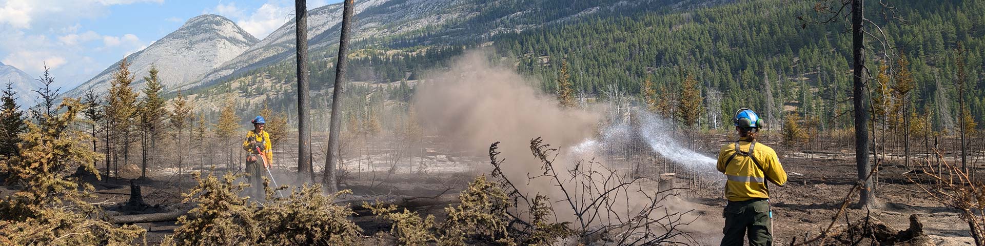
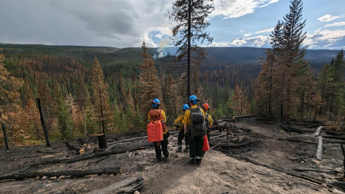
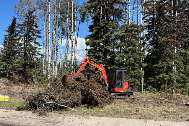
With the Jasper Wildfire Complex under control, crews are now hard at work assessing and removing hazards, including dangerous trees where safe to do so.
Controlled line: a secured perimeter of at least 100 feet, that is expected to hold under the foreseeable conditions
Area closures and restrictions
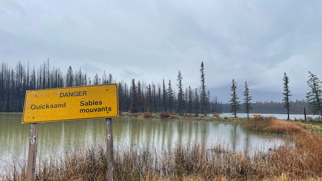
Many areas of Jasper National Park remain closed due to wildfire activity, incident operations, and safety hazards such as ash pits, reduced air quality, hazardous trees and hazardous waste requiring containment. It will take time for these areas to re-open.
Wildfire updates
View the Jasper infrastructure photo album View the damaged infrastructure photo album
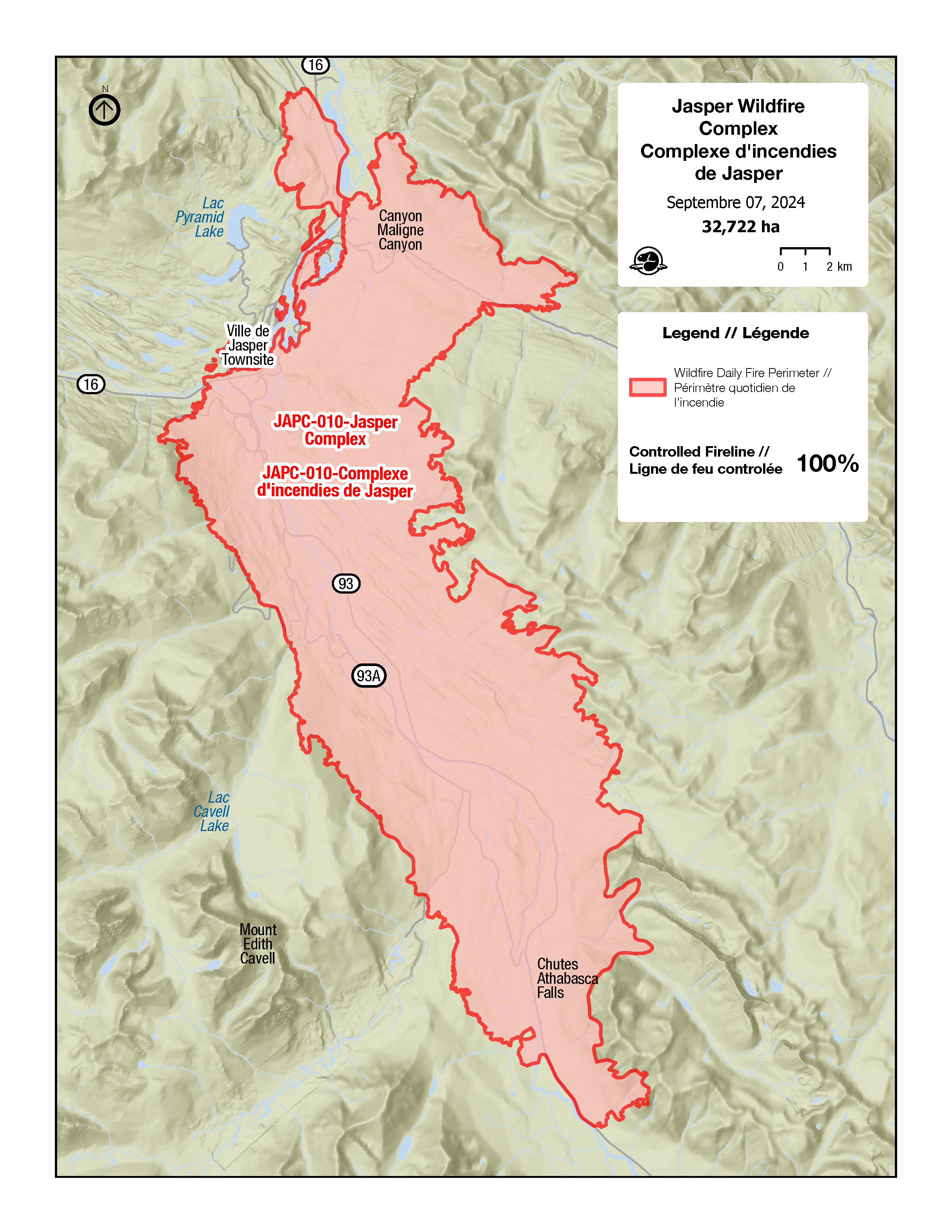
September 7, 2024 — Day 48
Controlled line: a secured perimeter of at least 100 feet, that is expected to hold under the foreseeable conditions
Wildfire status — Under Control
As of today, September 7, 2024, the Jasper Wildfire Complex is classified as under control. This means that the wildfire has received sufficient suppression action to ensure no further spread of the fire.
Parks Canada will continue to monitor and action hotspots and patrol lines in the Overlander area, Maligne Valley, and Whirlpool drainage using helicopters plus ground crews. Strong potential exists for smoke and flames to be visible inside the fire’s perimeter until the onset of winter.
Background
The first report of a wildfire start northeast of the town of Jasper was received on the evening of Monday, July 22, 2024. Shortly after the initial report, a second report of a fire south of town was received. At 10:00 pm, an evacuation order was issued for Jasper National Park, including the town of Jasper. Within 48 hours of those starts, the fire reached town. Lightning was witnessed at the time the fires were reported. An investigation by the Canadian Forest Service confirmed the fires were started by lightning.
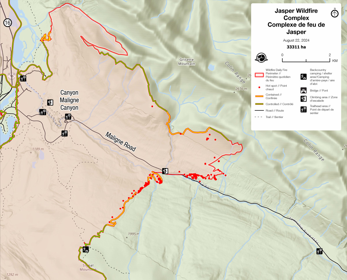
The fire perimeter today is 100% controlled, along the 278.03 km length of the perimeter. The current size of the fire is 32,722 hectares.
Over the course of the incident, we had over 3,000 personnel working on the fire. Today, we are down to 20 individuals, most of whom are operational. These personnel from various agencies across Canada worked with the common goals of supressing the wildfire and allowing community members to re-enter the town and park.
Given forecasted continued warm, dry weather, the existing fire ban remains in effect.
Parks Canada extends its thanks to residents, partners, stakeholders and the public for their cooperation, patience, understanding and support over the past six weeks.
Areas that remain closed are such for public safety and will open once deemed safe. A park closure is a legal mechanism used to ensure public safety, and entering a closed area is unlawful. For a list of services open in the town of Jasper, visit the Municipality of Jasper website: jasper-alberta.ca/p/what-s-open-
The use of drones is not permitted in national parks. When a drone is detected, all aircraft are grounded. This puts the safety of crew members in jeopardy and delays the response to the wildfire.
Emergencies only: Report wildfires, illegal campfires and suspicious smoke to Jasper Dispatch at 1-780-852-6155.
For additional information on what’s open and closed in Jasper National Park, visit: parks.canada.ca/pn-np/ab/jasper/visit/ouvert-fermee-open-closed
For more information on camping, visit: parks.canada.ca/jaspercamping

August 2024
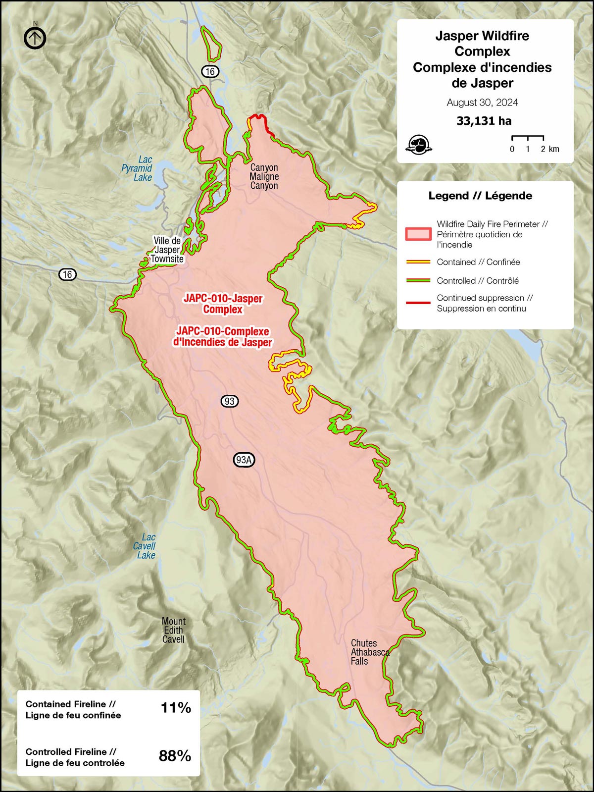
August 30, 2024 — Day 40
 Contained line: fireline that is being held - unlikely to spread given current/forecasted conditions
Controlled line: a secured perimeter of at least 100 feet, that is expected to hold under the foreseeable conditions
Wildfire status – Being Held
With the warm weather forecasted this long weekend, residents may notice smoke coming from the Overlander Creek, Maligne Valley, and Marmot Pit areas. Rest assured, this fire activity poses no further risk to the public. Fire crews are continuing to extinguish these hot spots near the fire’s perimeter, with the assistance of helicopters.
Law Enforcement Officers are seeing an increase in people accessing closed areas. Entering closed areas is not only illegal, but draws resources from both recovery and fire efforts in the area. Parks Canada continues to assess fire impacted facilities and is working towards reopening areas that were not affected by fire. We thank you for your patience and look forward to welcoming visitors back again once it has been deemed safe.
Nature calling?
When nature calls it can be hard not to stop roadside. This is why Parks Canada crews have worked hard to clear fire-impacted, hazardous trees immediately surrounding bathrooms along both Highways 16 and the Icefields Parkway (93N). Motorists will now be able to access select washrooms when driving through Jasper National Park.
The townsite of Jasper is not ready to welcome visitors quite yet. All services and resources within the town, including stores, restaurants, and gas stations, are focused on recovery and supporting residents, contractors, and local businesses. If driving through Jasper National Park, please plan accordingly. Gas stations are located in Saskatchewan River Crossing to the south, Hinton to the east, and Valemount to the west. Saskatchewan River Crossing is 230km to Hinton and 276km to Valemount.
Please note:
- Highway 16 and the Icefields Parkway, north of the Columbia Icefields Centre remain to be NO STOPPING zones outside of designated bathroom areas. It is not safe, nor is it legal, to enter closed areas.
- Highway 16 and the Icefields Parkway, north of the Columbia Icefields Centre have been assessed for motorized vehicle traffic only. It is not safe for recreational traffic (cycling, running, walking, etc.) at this time.
- Burnt areas pose a number of safety risks to the public. Please do not enter closed areas as fire damaged trees may fall without notice.
Camping:
All remaining campground and associated reservations for this season will be cancelled and those with bookings will be fully refunded.
Additionally, all self-serve and backcountry campgrounds will remain closed until further notice.
For a full list of closures, visit: parks.canada.ca/jasper-alerts
For more information on camping, visit: parks.canada.ca/jaspercamping
August 24, 4 pm — Day 34
Wildfire status – Being Held
Good news: overnight, parts of Jasper received over 30.5 mm of rain! Rain is expected to continue into tonight which, coupled with cooler weather, will further decrease fire activity.
Caution: Heavy periods of rain can cause slopes and burnt trees to become unstable. Residents should use caution as gusty or shifting wind conditions can cause fire-weakened trees with loose roots to fall.
Danger tree assessments adjacent to park highways have been completed to be safe for vehicles ONLY. This is an important distinction as only roads within the townsite and Pyramid Lake Road have been assessed to a safe standard for bicycling, running, and walking.
We appreciate your patience in respecting park closures and restrictions, put in place to keep people safe throughout the fire-affected areas of the park.
Due to the encouraging progress that fire crews have made within the Jasper Wildfire Complex, daily information updates will shift to weekly updates, unless this situation changes, and the fire becomes more active.
Recovery update
The Joint Recovery Coordination Centre (JRCC) is a partnership between the Municipality of Jasper and Parks Canada focused on helping our community navigate the recovery process. As we move ahead together, the Municipality of Jasper and Parks Canada will continue to keep residents and businesses up to date as progress is made towards recovery.
For more info, check out the Municipality of Jasper webpage: jasper-alberta.ca/p/recovery

 Lake Annette Day Use Area
August 23, 4 pm — Day 33
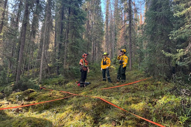
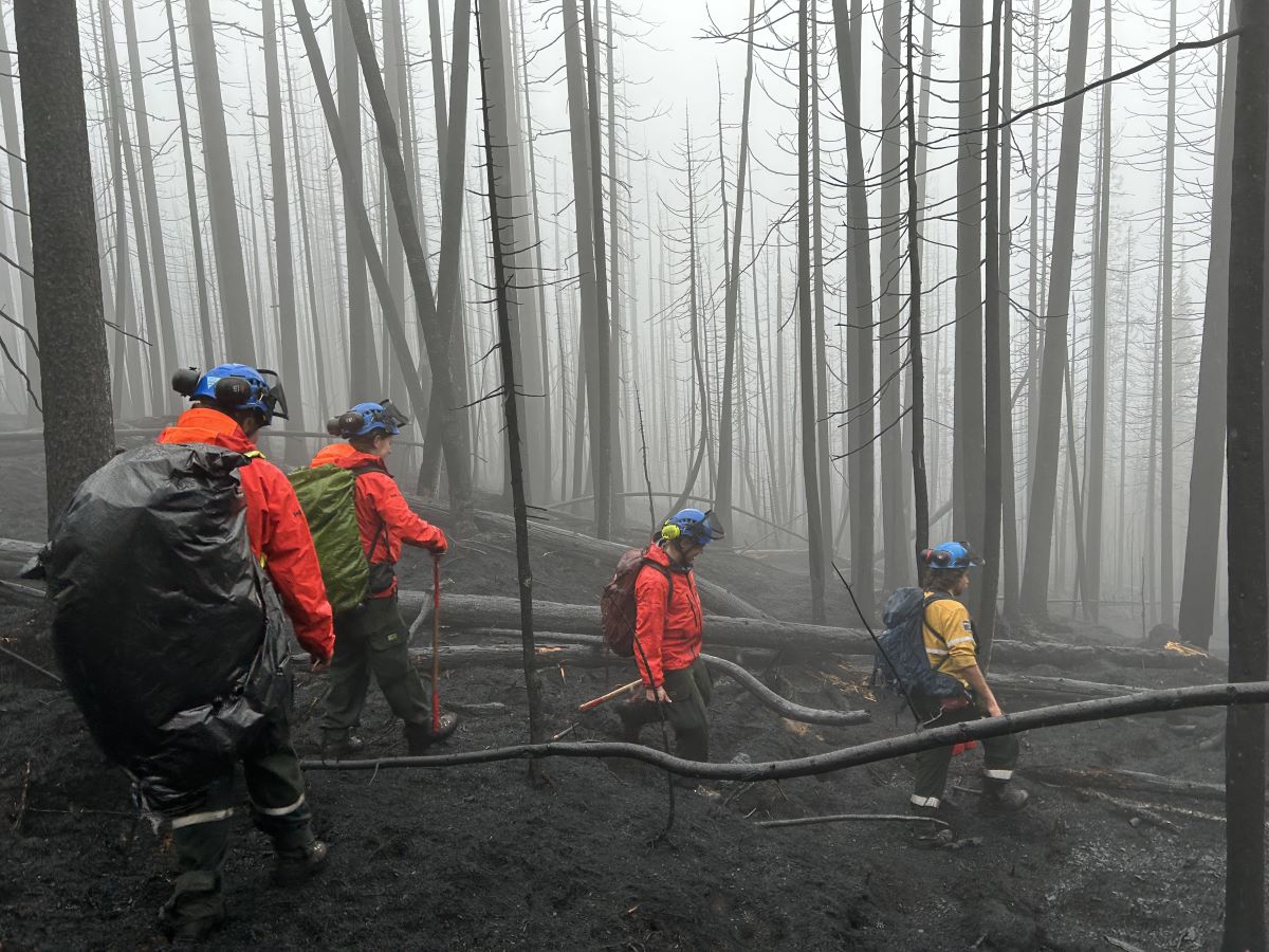
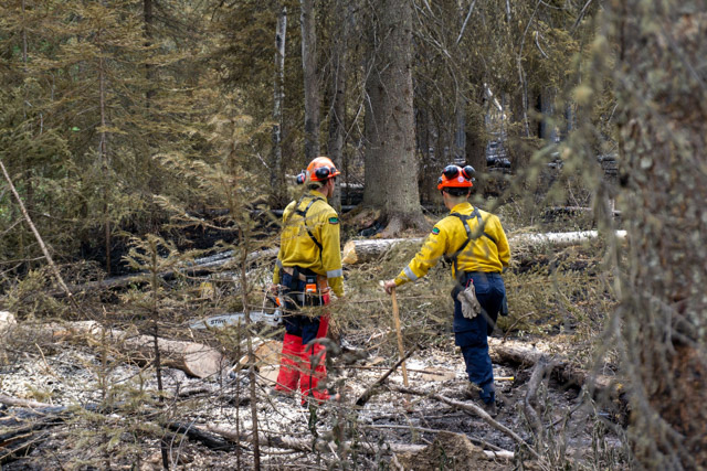
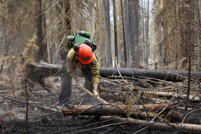
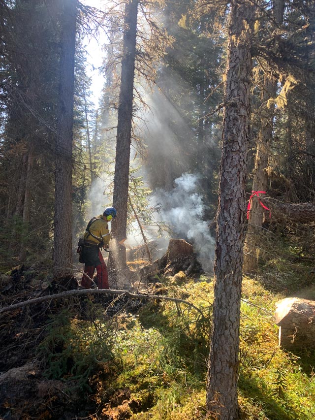 Tree fallers assess and remove danger trees.
Specialists continue to assess and remove hazardous trees where fire crews are working. During strong wind events, fire-damaged trees can be further weakened and at risk of falling. This makes continued assessments an integral part of responder and public safety.
The Icefields Parkway is only open to motorized vehicle traffic as the trees adjacent to the road have not been assessed as safe for pedestrian or bicycle travel and there are ongoing operations adjacent to these roadways. We understand how important it will be for residents of Jasper to reconnect with nature in their healing journey and have prioritized assessments on Pyramid Lake Road and the Pyramid Bench. This area will be reopened for limited recreation on Saturday, August 24th at 7am. At this time, the area will only be accessible by road. Trail 15 remains closed. We will continue to work on opening more areas to safe access – thank you for your patience.
Firefighters have made great progress on the south perimeter, allowing resources to be reallocated to put out hot spots in the Maligne Valley and the north perimeter towards Overlander Creek.
The weekend forecast calls for rain with a risk of lightning and gusting winds. An estimated 10 to 20 mm is expected Saturday. Large amounts of rain within the fire perimeter increases the risk of mudslides and falling trees, making it hard for firefighters to safely do their job. If conditions become hazardous, firefighters will be assigned to safe areas to work.
We are using infrared scanning technology to help to pinpoint areas where the fire is still burning. Hot spots are isolated or solitary pockets of active wildfire and are often characterized by smouldering rather than fully visible flames.
Fire equipment and resources continue to be released when no longer needed.
Important links:
- Check 511 Alberta for road information and updates
- Respect all area closures and restrictions
- Check the Municipality of Jasper and jasper-alberta.ca/p/jasperwildfire
 Using unmanned aerial heat detection (drones) overnight, firefighting operations can be focused on where hot spots are located along the perimeter. This map shows the Maligne Valley east fire perimeter where a lot of heat remains.
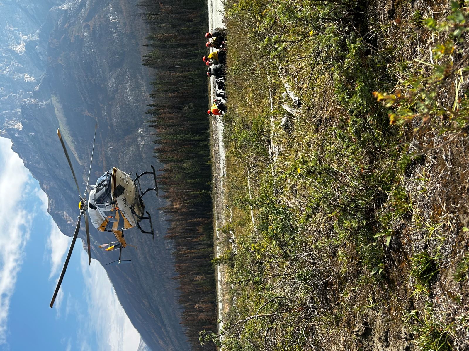
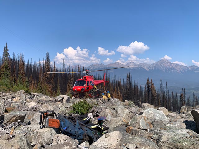 Fire crews get dropped off via helicopter to areas that are inaccessible by vehicles.
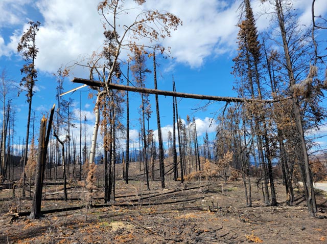 Some danger trees are obvious, but many others are not. Continued assessments are integral to reopening other areas of the park.
 Fire crews carry in the supplies they need.
August 22, 2 pm — Day 32
Road reopening updates
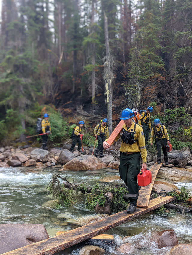 Firefighters hiking into priority areas on the west fire perimeter in the Maligne Valley.
Work to allow motorists safe passage on the Icefields Parkway (93N) is almost complete. 93N is scheduled to reopen tomorrow (Friday, August 23, 2024) at 7 am to through traffic. Motorists must drive through the park without stopping as all rest areas and scenic lookouts require further hazard assessments and danger tree removal before people can safely exit their vehicles.
Be prepared! There are no services on all transportation corridors through Jasper National Park. For current road updates, check 511 Alberta
Wildfire Status – Being Held
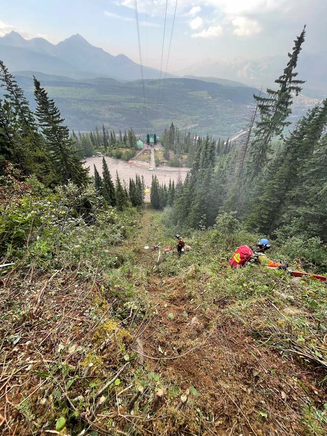
Calming winds are helping firefighters make significant progress on the ground. Crews are tackling hot spots near the Jasper SkyTram, the Maligne Valley, and the north perimeter towards Overlander Creek. With conditions over the coming days, smoke may continue to be visible from these areas. Only report smoke outside the wildfire perimeter. Call Parks Canada Dispatch at 780-852-6155 to report new wildfires.
Trailheads are slowly being assessed as safe access allows. Campers who had to leave their vehicles after being rescued from the backcountry will be contacted once their trailheads have been cleared.
Fire equipment and resources continue to be released when no longer needed.
Important links:
- Check 511 Alberta for road information and updates
- Respect all area closures and restrictions
- Check the Municipality of Jasper and jasper-alberta.ca/p/jasperwildfire
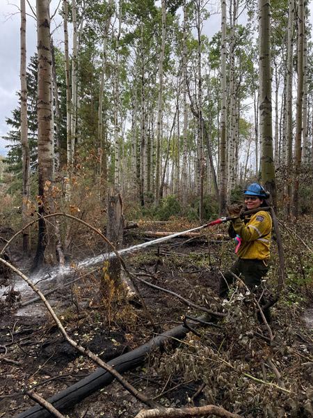
 Fire crew laying hose near the Skytram.
 Fire crew laying hose near the Skytram.
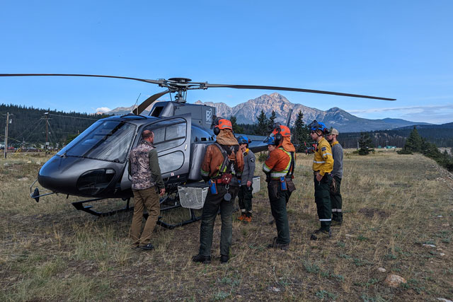 Helicopter safety briefing.
August 21, 2 pm — Day 31
Road reopening updates
 A view from the Icefields Parkway (93N).
Crews have been working to remove debris and hazard trees from areas adjacent to the Icefields Parkway (93N) to open the parkway as early as 7:00 am on Friday, August 23, 2024. To facilitate opening this important travel corridor, hazard assessments have been completed to the standards required for motorists to safely drive through the roadway without stopping. All areas require further hazard assessments and danger tree removal before allowing traffic to stop safely.
Once hazards have been addressed, scenic viewpoints along roadways and day-use areas also require services before they can reopen including emergency response, garbage collection, washroom cleaning, maintenance and repairs. Motorists must be prepared for no service availability from the Athabasca Glacier to Highway 16, Hinton to the east, and Valemount or McBride to the west.
We understand Jasperites need to reconnect to nature to facilitate the healing process. Portions of the Pyramid Lake Road are prioritized for potential reopening in the coming days.
As 93N and Pyramid Lake Road reopen, crews will move to work on reopening secondary roads like 93A (from Marmot Basin to 93N), Marmot Basin Road and Whistlers Road. Updates on reopening progress will be shared when available.
Wildfire status – Being held
 View from Maligne Valley looking towards the Athabasca Valley.
 Smoke may continue to be visible from the following areas: Whistlers Mountain near the Skytram base station, Overlander trail and Maligne valley. Only report smoke outside the wildfire perimeter. Call Dispatch at 780-852-6155 to report new wildfires.
Smoke may continue to be visible from the following areas: Whistlers Mountain near the Skytram base station, Overlander trail and Maligne valley. Only report smoke outside the wildfire perimeter. Call Parks Canada Dispatch at 780-852-6155 to report new wildfires.
Please take extra care on the two trails currently open: Toe of the Glacier and Source of the Springs. A rescue at the Athabasca Glacier yesterday required a helicopter to be diverted from the wildfire response.
We appreciate your patience in respecting park closures and restrictions. We are working every day to extinguish the wildfire, assess hazards, and reopen areas when we can ensure your safety and have staff and resources to provide services.
Updates about reentry are available from the Municipality of Jasper and at facebook.com/municipalityofjasper and jasper-alberta.ca/p/jasperwildfire
 Fire crew set up helicopter longline target for remote equipment resupply for firefighters on the ground.
 Type II fire crews review pump operations in mountainous terrain at the Snaring River. Type I firefighters do initial direct attack at the fire front, while Type II firefighters will do indirect attack extinguish hotspots and mop-up.
August 20, 4:45 pm — Day 30
Wildfire status - Being held
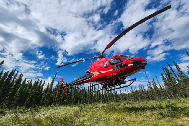 Helicopters are used for bucketing water or moving firefighters into key areas within the Jasper Wildfire Complex.
With the warmer temperatures and increased wind, fire activity within the wildfire perimeter has increased and is visible from Highway 16 and the town of Jasper. Only report smoke outside the wildfire perimeter. Call Jasper Dispatch at 780-852-6155 to report new wildfires, unsafe or aggressive human-wildlife interactions, injured or dead wildlife and if a predator is in the town or near accommodations. Smoke is visible from the slopes of Whistlers Mountain and in other areas of the wildfire. Residents and motorists on Highway 16 will also see aircraft actively bucketing on the wildfire.
Progress is being made in removing hazards along priority roadways like the Icefields Parkway (93N) and Maligne Road to ensure public safety when roads are ready to reopen. These roadways are important for many residents and business operators, and we will reopen them when we can ensure the roads are safe for travel.
Highway 16 is fully reopened to motorists with NO STOPPING in Jasper National Park. All day-use areas, rest stops and trailheads along the highway in the park are closed until further notice.
Jasper National Park is a no-drone zone
Parks Canada Law Enforcement laid charges yesterday in one illegal drone incident at Jasper Lake. A member of the public reported the drone use directly to Parks Canada law enforcement running a traffic check stop. This drone operator also breached applicable Transport Canada regulations, which require that no aircraft fly within a 5-nautical-mile radius of a wildfire for the safety of helicopters and aircraft involved in fighting forest fires.
All national parks across Canada are no drone zones. Helicopters are also actively working on the wildfire. When drones are in the sky, pilots and aircrews cannot fly, seriously hampering firefighting efforts and significantly compromising the safety of aircraft and personnel on the wildfire. The grounding of helicopters also leaves fire crews on the frontline without an escape route.
Recreational drone activities are illegal and dangerous—carrying a maximum fine of $25,000. Recreational drone users violating Parks Canada regulations, especially in the airspace near the wildfire, will be subject to prosecution.
Updates about reentry are available from the Municipality of Jasper and at facebook.com/municipalityofjasper and jasper-alberta.ca/p/jasperwildfire
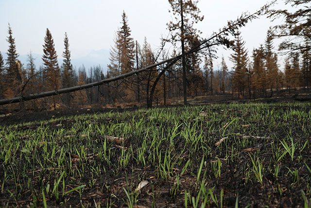
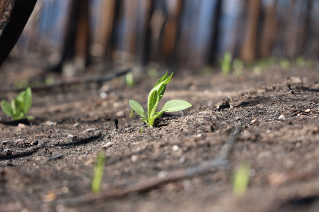 The process of regrowth begins almost immediately after a fire has gone through.
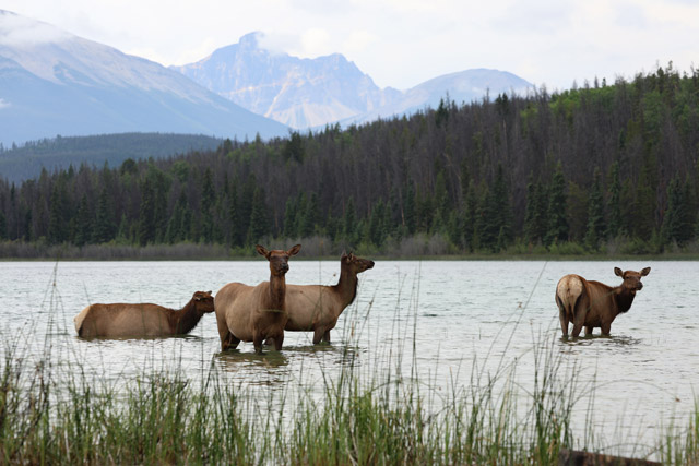 Elk bathing in Patricia Lake.
August 19, 2:00 pm — Day 29
Wildfire status - being held
 Wildland firefighter putting out hot spots.
Clearing skies and increased winds may increase smoke visible from town or along Highway 16. Highway 16 fully reopened at 5:00 am and may result in more traffic. Obey all posted signage and speed limits as there are still ongoing fire suppression activities. Smoke forecasts are available online: Smoke Forecast.
Firefighters continue to action and patrol the wildfire. Please only report smoke outside the wildfire perimeter. Call 780-852-6155 to report new wildfires, unsafe or aggressive human-wildlife interactions, injured or dead wildlife and if a predator is in the town or near accommodations.
In the high priority areas, firefighters are putting out hot spots up to 100 meters in from the perimeter. In other areas that are not accessible by ground crews, aircraft continue to action hotspots.
Strong winds are bringing down fire-weakened trees. Danger tree assessments and removals are continuing along priority roadways like the Icefields Parkway and Maligne Road. Many traffic regulatory signs were damaged. Parks Canada is working to implement temporary measures to ensure public safety when roads are ready to reopen.
Fire equipment and resources continue to be released when no longer needed.
Municipality of Jasper
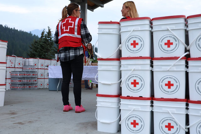 Red Cross at the Re-Entry Support Centre in Commemoration Park.
Plans are underway to transition from re-entry to long-term recovery. Crews are cleaning up equipment around town. There continues to be 24-hour emergency response within the townsite. Water leak repairs are ongoing. Cleaning is ongoing at priority municipal buildings in town.
Visitors or contractors that left personal property (trailers, etc) in town are encouraged to retrieve their property. This will make space for resident and business support traffic to flow easier through town.
Printed re-entry guides are available at the recovery support centre at Commemoration Park.
Helpful links:
- Addiction and Mental Health Resources for Jasper Residents
- Boil Water Advisory details
- Schedule an appliance pick up
- Business re-opening guidelines
- Business License Application: Municipality of Jasper - Business Licence Application Form
- Re-Entry Guide
- Housing Survey
- Frequently Asked Questions
- Keep up to date with the latest information on the Municipality of Jasper website
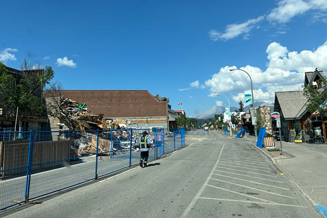 Perimeter fencing on Patricia Street
 Removing hazardous trees in the townsite
August 18, 4:30 pm — Day 28
Wildfire status
The Jasper Wildfire Complex is classified as being held. This means the fire is not expected to spread in any priority areas based on current and expected weather and resourcing. Unified Command staff created a fire progression map demonstrating the available information on the wildfire’s growth from the wildfire starts on July 22 up until today.
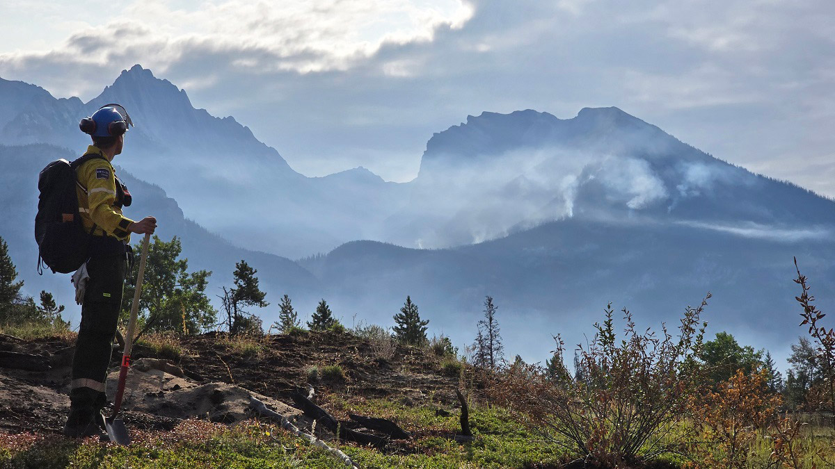
 Jasper fire crew in the Maligne Valley.
The ignition at the air strip is now fully extinguished.
The town of Jasper received the least amount of rain during the day yesterday. Overnight, rain increased in town with 3 mm of rain recorded. Small amounts of rain are forecast over the next few days, helping firefighters access new areas to put out hot spots.
Equipment and resources continue to be released when no longer needed.
Municipality of Jasper
Re-Entry Snapshot: Re-entry began on Friday, August 16. So far, more than 800 people have visited the Re-Entry Support Centre. 180 people have visited the insurance tent where more than 12 companies are there to speak with residents directly.
The Re-Entry Support Centre at Commemoration Park is open today from 7 am to 7 pm. Starting Monday, August 19, they will be open from 9 am to 6 pm and will remain open until Friday, August 23. We continue to assess the demand and will extend services if needed.
Fridge/freezer disposal: So far, just over 350 appliances have been picked up around town. Please arrange for a fridge/freezer pick up instead of leaving it outside unattended. Appliance pick up service will continue for Jasperites, including residents at Lake Edith and Outlying Commercial Accommodations, until Friday, August 30. Schedule a pickup for your appliances here: https://bit.ly/4dIAgl5
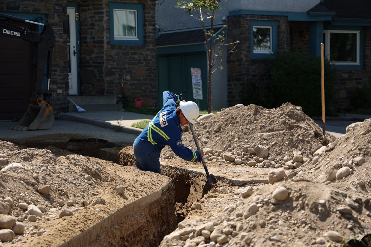 ATCO crew member working on critical infrastructure in residential area
Be wildlife aware: Wildlife continues to be active in the townsite, and they are looking for food. Please make sure you are not placing coolers or appliances on the curb. You can also help by removing any attractions like fruits on trees.
Gas service: ATCO has completed 521 gas re-lights around town, restoring service to approximately 48% of properties.
Water service: Four sections of the town remain without water. Three potable water bins will be set up in town for residents to use for drinking water and cooking. More information to come.
Parks and playgrounds: Municipal crews continue to assess damage within parks and playgrounds. The Jasper Skate Park has been assessed and is now open for public use. Centennial Park, Firemans’ Park and Lion’s Park remain closed to the public while crews remove hazards and clean the equipment. The off-leash area at Hazel Avenue and Sleepy Hollow Road is also closed to the public while crews work to remove hazards and ensure safety.
Sani dump: Residents staying in travel trailers or RVs can now access the sani dump at Whistlers Campground using the Parks Canada staff entrance near Marmot Meadows at the south end of the campground.
Security: RCMP continue patrols to ensure security within the townsite. Extra security has also been brought in to help in the areas that are fenced.
Facilities: Cleaning continues at the Jasper Activity Centre with 100 staff on-site. Cleaning is also taking place at the Cottage Medical Clinic.
Housing: Please ensure you have filled out the housing survey by August 23 so that your housing needs are included in the planning process. Plans for interim and temporary housing are well underway.
Alternate housing options are being explored and more details will be shared as soon as possible.
Traffic control: We heard from residents that they need support teams to assess their property and take steps towards recovery. We are reconsidering traffic check points to make this process easier.
We will continue to monitor needs and respond to support recovery efforts. The town of Jasper is still not ready to welcome visitors. Work to support residents and business owners is ongoing.
Healthcare: The Seton-Jasper Healthcare Centre Emergency Department re-opened on August 15. AHS is working hard to reopen other services on-site. Inpatient admissions remain temporarily paused. EMS continues to be available to the community and will transport patients to alternate facilities as needed.
Helpful links:
- Addiction and Mental Health Resources for Jasper Residents | Alberta Health Services: https://www.albertahealthservices.ca/news/Page18471.aspx
- Re-Entry Guide: https://www.jasper-alberta.ca/p/re-entry-guide
- Frequently Asked Questions: https://jasper-alberta.ca/p/questions-and-answers-
- Keep up to date with the latest information on the Municipality of Jasper website: www.jasper-alberta.ca
- Jasper housing needs questionnaire: https://www.alberta.ca/jasper-housing-needs-questionnaire
August 17, 10:20 am — Day 27
Since July 22, Parks Canada and the Municipality of Jasper’s continued unification has paved the road for re-entry. Welcome back Jasperites.
Wildfire status
Firefighters continue to work around the 33,000-hectare blaze’s perimeter to keep Jasper a safe place. Today, all their dedication, teamwork and sacrifices paid off, and we are pleased to change the Jasper Wildfire complex's fire status to ‘Being Held.’ This means the fire is not expected to spread in any priority areas based on current and expected weather and resourcing.
 Jasper Wildfire Complex Status map
All of us here with the Unified Command team have mixed emotions as we make this announcement today. We thank all of the responders involved in helping us achieve this milestone, while also recognizing the loss of Morgan Kitchen, the young firefighter from Calgary who lost his life on August 3, while working to bring this blaze under control.
The Jasper Wildfire Complex includes many fires ignited by lightning on the 22 of July that quickly and aggressively grew beyond the capacity of initial attack crews. A weeks-long heat dome leading up to the dry lightning storm created challenging firefighting conditions by drying out trees, grass and the atmosphere. We want to reiterate that the unimaginable pace and growth was set early on—and it is a true testament to the commitment of the unified command team that evacuations of visitors, staff and residents in town, and especially along the Icefields Parkway where the wildfire charged at the heels of first responders, were completed safely.
As the community reconciles with the immense losses, we want to provide some more detail to help the community understand how challenging this wildfire was from day one.
During the late afternoon of July 22, a fire was reported near the Jasper Transfer Station. Thirty minutes later, another wildfire was reported near Kerkeslin Campground. Another ten minutes later, two more wildfires were reported near campgrounds south of Jasper. Winds were gusting 20 to 30 kilometres an hour bringing the three wildfires south of town into one. Hundreds of firefighters and resources, including state-of-the-art structural protection equipment for the town, were called in and had arrived or were enroute before and on July 24—including air tankers that did multiple retardant drops that wildfire activity did not respond to.
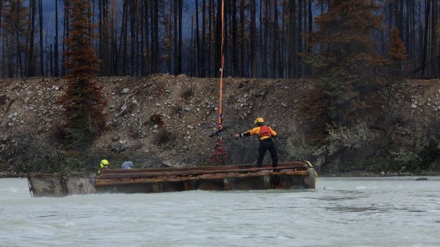 Earlier this week, Parks Canada visitor safety specialists assessed hazards and developed a plan for the Black Hawk helicopter dedicated to the incident to heli-sling the sea-can back to land. It had floated about 800 meters further down the river.
For almost two days firefighting conditions were extremely challenging. On July 24, winds increased to an unimaginable 100+ kilometers an hour driving the flames beyond any possible predictions. These winds were also strong enough to lift a 20-foot sea-can weighing 6,700 lbs from Wabasso Campground into the Athabasca River, that’s more than 100 metres.
We’re proud to call this wildfire being held on day 27, especially on the day of Morgan Kitchen’s memorial in Calgary. This is what we have all been working towards, but the work isn’t done yet. 580 people on the incident continue to work towards ensuring public safety beyond the town, so Jasper National Park can heal.
Jasper National Park is a no-drone zone
While there are Parks Canada approved and operational-based drone activities taking place over various locations, recreational drone activities are illegal and dangerous—carrying a maximum fine of $25, 000. Recreational drone users violating Parks Canada regulations, especially in the airspace near the wildfire, will be subject to prosecution.
August 17, 10:20 am — Day 27
Since July 22, Parks Canada and the Municipality of Jasper’s continued unification has paved the road for re-entry. Welcome back Jasperites.
Wildfire status
Firefighters continue to work around the 33,000-hectare blaze’s perimeter to keep Jasper a safe place. Today, all their dedication, teamwork and sacrifices paid off, and we are pleased to change the Jasper Wildfire complex's fire status to ‘Being Held.’ This means the fire is not expected to spread in any priority areas based on current and expected weather and resourcing.
Jasper Wildfire Complex Status map
All of us here with the Unified Command team have mixed emotions as we make this announcement today. We thank all of the responders involved in helping us achieve this milestone, while also recognizing the loss of Morgan Kitchen, the young firefighter from Calgary who lost his life on August 3, while working to bring this blaze under control.
The Jasper Wildfire Complex includes many fires ignited by lightning on the 22 of July that quickly and aggressively grew beyond the capacity of initial attack crews. A weeks-long heat dome leading up to the dry lightning storm created challenging firefighting conditions by drying out trees, grass and the atmosphere. We want to reiterate that the unimaginable pace and growth was set early on—and it is a true testament to the commitment of the unified command team that evacuations of visitors, staff and residents in town, and especially along the Icefields Parkway where the wildfire charged at the heels of first responders, were completed safely.
As the community reconciles with the immense losses, we want to provide some more detail to help the community understand how challenging this wildfire was from day one.
During the late afternoon of July 22, a fire was reported near the Jasper Transfer Station. Thirty minutes later, another wildfire was reported near Kerkeslin Campground. Another ten minutes later, two more wildfires were reported near campgrounds south of Jasper. Winds were gusting 20 to 30 kilometres an hour bringing the three wildfires south of town into one. Hundreds of firefighters and resources, including state-of-the-art structural protection equipment for the town, were called in and had arrived or were enroute before and on July 24—including air tankers that did multiple retardant drops that wildfire activity did not respond to.
Earlier this week, Parks Canada visitor safety specialists assessed hazards and developed a plan for the Black Hawk helicopter dedicated to the incident to heli-sling the sea-can back to land. It had floated about 800 meters further down the river.
For almost two days firefighting conditions were extremely challenging. On July 24, winds increased to an unimaginable 100+ kilometers an hour driving the flames beyond any possible predictions. These winds were also strong enough to lift a 20-foot sea-can weighing 6,700 lbs from Wabasso Campground into the Athabasca River, that’s more than 100 metres.
We’re proud to call this wildfire being held on day 27, especially on the day of Morgan Kitchen’s memorial in Calgary. This is what we have all been working towards, but the work isn’t done yet. 580 people on the incident continue to work towards ensuring public safety beyond the town, so Jasper National Park can heal.
Jasper National Park is a no-drone zone
While there are Parks Canada approved and operational-based drone activities taking place over various locations, recreational drone activities are illegal and dangerous—carrying a maximum fine of $25, 000. Recreational drone users violating Parks Canada regulations, especially in the airspace near the wildfire, will be subject to prosecution.
August 16, 8 pm — Day 26
Wildfire status
Firefighters made significant progress across priority areas, with some help from much needed rain. Starting at noon, more than 4 mm of rain fell across Jasper. The forecast for the next few days is steady rain and the water is welcome and encouraged to stay as long as it can. Crews walked across Overlander trail bridge and put out hot spots from the previous days ignition to contain that line. In the Maligne Valley there was low visibility this afternoon obscuring helicopter conditions so crews will start accessing this area by ground.
The priority south and north perimeters have a handful of deep hot spots left. The hot spots near the SkyTram road are in very steep terrain that is slippery, making access by ground too dangerous. Danger trees around key infrastructure in the park are being identified and removed. A feller buncher is working along roadways to ensure trees won’t fall onto vehicles. Wabasso Campground is almost cleared of countless danger trees, allowing staff to better assess any remaining camper items soon. Trailheads are slowly being assessed as safe access allows. Campers that had to leave their vehicles after being rescued from the backcountry will be contacted once their trailheads have been cleared.
Jasper National Park is a no-drone zone
While there are Parks Canada approved and operational-based drone activities taking place over various locations, we want to reiterate that recreational drone activities are illegal and dangerous—carrying a maximum fine of $25, 000. Recreational drone users violating Parks Canada regulations, especially in the airspace near the wildfire, will be subject to prosecution.
Bears in town
Bears have been spotted throughout town. At least two moms with two cubs each are searching for food. If residents spot a bear in town this weekend, please report it to Parks Canada Dispatch at 1-780-852-6155.
Residents can dispose of regular household waste how they would normally: in the bear-proof garbage bins near their residence. Do not leave any garbage or attractants like food or pet food outside.
Municipality of Jasper
The Re-Entry Guide is your comprehensive handbook to navigate the challenging process of returning to town. It is now available in PDF form online. Visit https://www.jasper-alberta.ca/p/re-entry-guide
Your utilities may have been impacted, and repairs will take time. Today we heard from residents about water. The attached map shows known water supply access issues. If your home is in the red area, we are aware and working towards restoring your water supply. If you do not have water to your residence and are outside the red areas, please let the Municipality of Jasper know at the Re-entry Support Centre at Commemoration Park. It’s open from 7 am to 7 pm: the coffee will be hot, the faces will be friendly, and the supports will be ready and waiting for you.
Please know that utility crews are working as quickly as possible to restore services and they sincerely appreciate your patience.
Keep up to date with new information on the Municipality of Jasper website:
August 15, 6:20 pm — Day 25
Tomorrow, many of Jasper National Park's residents will return to a very different Jasper. Parks Canada wants you to know that while home looks different, Jasper National Park welcomes you whenever you are able to return. Jasper continues to be a place of great beauty, and we hope that the familiar mountains, waters and community of Jasper help in your healing. However this day shows up for you, we are here with you too.
Beginning Friday at 7 am, The Municipality of Jasper evacuation order will be downgraded to an evacuation alert. Under the evacuation alert, residents should be prepared to evacuate Jasper within one-hour notice. Expect lineups at the East Gate and the east entrance as residents return.
All areas outside of the town of Jasper and the Highway 16 corridor remain closed. Always check 511 Alberta for road information and updates: https://511.alberta.ca/#:Alerts
Wildfire status
The wildfire is still classified as out of control and is estimated at approximately 33,048 ha. Crews were able to contain 100% of the priority northwest perimeter to protect the town of Jasper. Forecasts show chances of showers this weekend and this should allow crews to make progress in minimizing fire activity in other parts of the park.
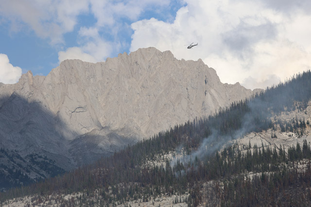
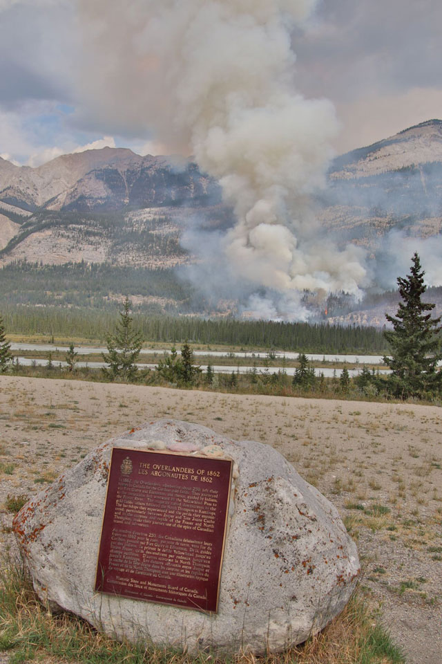
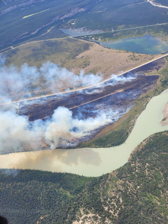
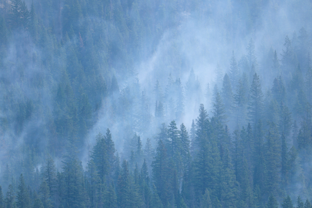
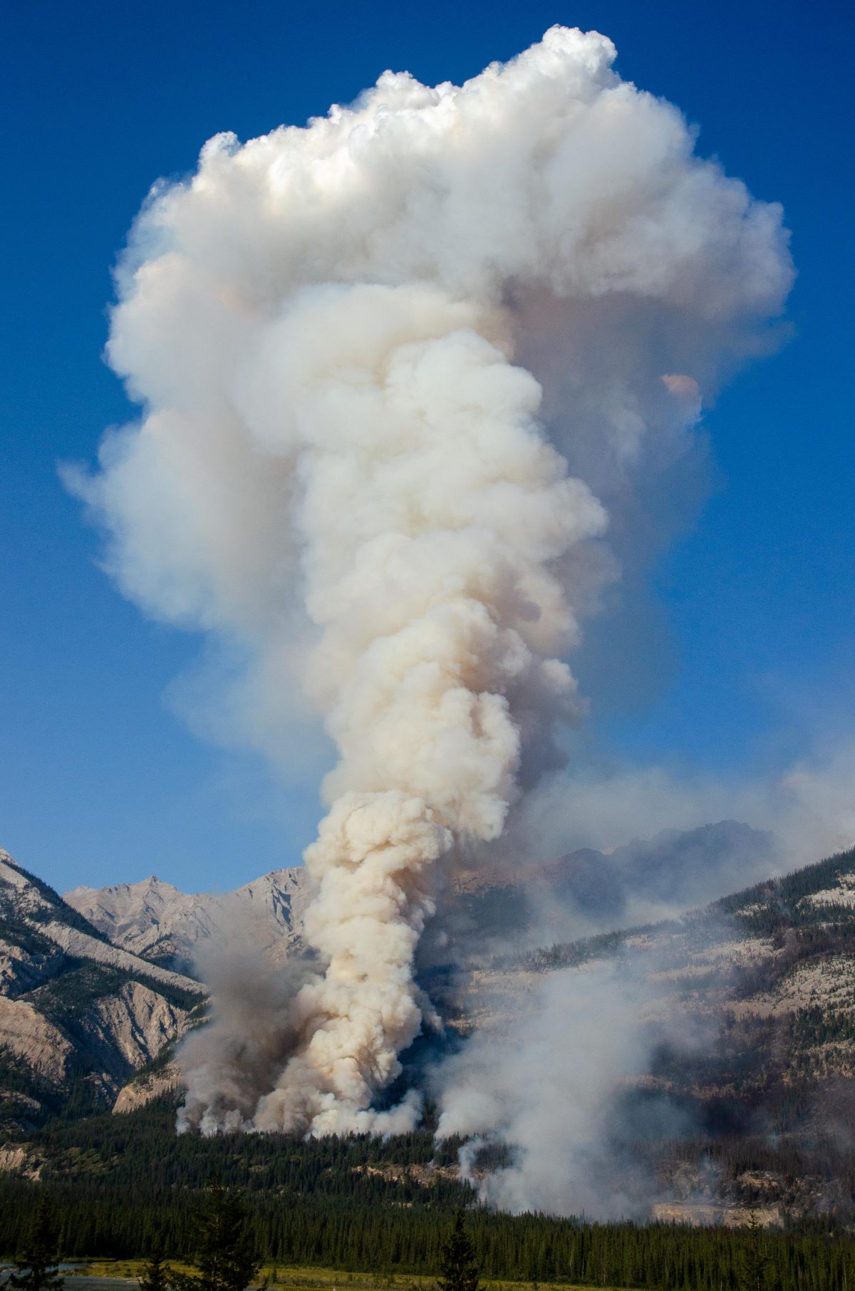 Evening aerial ignition in the Overlander area, along the rock bench of Roche Bonhomme and a gully to the north. August 14, 2024
More than 600 people and 12 helicopters are working on the incident.
On Wednesday, Alberta Wildfire ignition specialists completed aerial ignition in the Overlander area, along the rock bench of Roche Bonhomme and a gully to the north. This was done strategically late in the day to reduce fire spread to the north. Ignition is conducted to reduce further risks of wildfire spread by removing fuels on the landscape such as trees, shrubs and grasses. Conditions for ignition near the SkyTram road were not met and a different strategy was used involving helicopter buckets to douse the area.
Today, crews continued working to protect the Whirlpool drainage and the south end of the wildfire to protect infrastructure, businesses and caribou habitat. They found less heat than expected in the area South of Whirlpool Valley and north of the Athabasca River. On the east side of Maligne Valley, crews are laying hose lines and cutting areas for helicopters to land and deliver firefighters to extinguish the perimeter moving to the east. On the North end, crews continued to put out hot spots and tackle the difficult task of extinguishing ash pits.
Jasper National Park is a no-drone zone
While there are Parks Canada approved and operational-based drone activities taking place over various locations, we want to reiterate that recreational drone activities are illegal and dangerous—carrying a maximum fine of $25, 000. Recreational drone users violating Parks Canada regulations, especially in the airspace near the wildfire, will be subject to prosecution.
Air Quality
Jasper’s air quality information is now available at the Government of Alberta’s website: AQHI - Map (alberta.ca). Particulate matter and other substances in the air are being monitoring with portable monitors and a Mobile Air Monitoring Lab. The Air Quality Health Index (AQHI) provides a number from 1 to 10+ to indicate the level of relative health risk associated with local air quality. The higher the number, the greater the health risk associated with the air quality.
Access the Air Quality Health Index (AQHI) in Jasper: https://airquality.alberta.ca/map
- Information on how to use the AQHI: https://airquality.alberta.ca
- Data from portable monitors at various locations in the Jasper townsite: https://www.alberta.ca/wildfire-smoke-portable-air
- General site on wildfire smoke information (and various data available): https://www.alberta.ca/wildfire-smoke-information
Municipality of Jasper
We understand this is a challenging and emotional time, and we are here to support you as you navigate these next steps.
As residents begin returning to the community tomorrow and in the coming days, we want you to know that a Re-Entry Support Centre will be set up at Commemoration Park (1324 Pyramid Lake Rd) starting tomorrow, August 16. The centre will have resources and information on:
- Mental health
- Utilities
- Internet
- Insurance
- Alberta Health Services
- Parks Canada
- Government of Alberta Supports
- Community Futures West Yellowhead
- Red Cross supports
Times: Daily from 7 am to 7 pm (agency representatives will be available from 10 am to 5 pm). Coffee will be ready at 7 am. We look forward to welcoming you and offering support.
Jasper will have these critical and essential services for residents available starting tomorrow, August 16:
- Seton Hospital and Emergency Medical Service
- Jasper Cottage Medical Clinic at the hospital
- Fire Department
- Police Detachment
- 911 Service
- Petro Canada - 300 Connaught
- Shell Canada
- The Grocery People (TGP)
- Mettra Pharmacy
- Pharmasave
- ATB Financial
- Servus Credit Union
Keep up to date with new information on the Municipality of Jasper website
August 14, 7:30 pm — Day 24
Wildfire status
The wildfire is still classified out of control and is estimated at approximately 33,048 ha. The priority is to establish a 100% containment status on the northwest perimeter of the fire that presents a risk to the townsite, which is currently 99% contained or controlled. The entire fire perimeter is 78% contained or controlled. A “contained” fire perimeter means that the fire is not likely to spread beyond existent or predetermined boundaries under prevailing and forecasted conditions. A “controlled” fire perimeter means that the fire is not expected to spread any further.
Forecast shows chances of showers later this week and this should allow crews to make progress in minimizing fire activity in other parts of the park.
Crews have extinguished hot spots south of the Palisades and north of the Jasper transfer station with the support of helicopter bucketing.
Crews working south of Maligne Road are stabilizing the fire by limiting the spread using natural fire breaks like rock features and the road. Crews in the Whirlpool area are working to cut off further spread to maintain habitat for caribou.
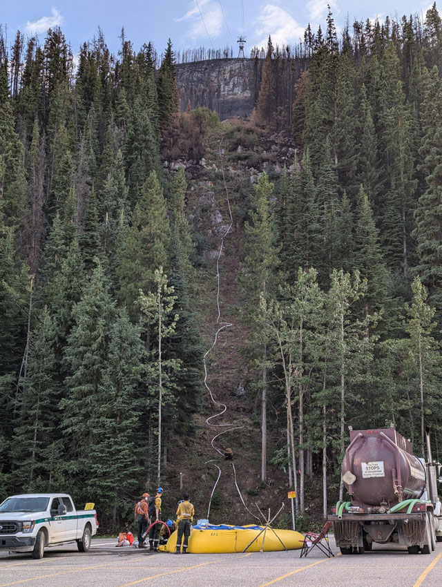
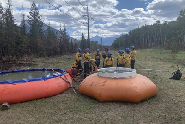
 Bladder at Lake Edith. August 13, 2024
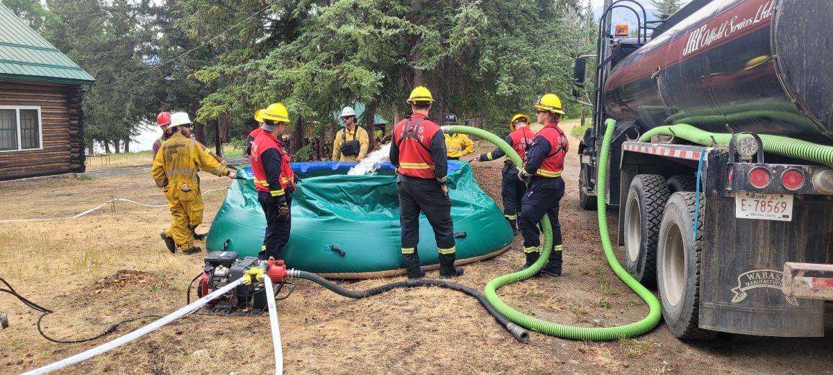
Jasper has various places for helicopters to scoop up water in buckets to drop on active fire areas. Bladders allow firefighters to feed hose lines with a guaranteed water supply. Bladders are set up at Morrow Slab, Palisades, Lake Edith, the SkyTram parking lot and other key areas.
Jasper National Park remains closed and under an evacuation order.
Always check 511 Alberta for road information and updates: https://511.alberta.ca/#:Alerts
Municipality of Jasper
 Fire Perimeter around the town of Jasper - August 14, 2024
Re-entry for residents is plan for Friday, August 16. The return date of August 16 is conditional on achieving and maintaining the re-entry criteria. For re-entry status update, visit the Municipality of Jasper progress update at https://jasper-alberta.ca/p/re-entry-criteria
Jasper will have the minimum services to be safe for residents to return. More information on the Re-entry Support Centre will be available in tomorrow’s update.
Work continues around the clock to restore critical services to facilitate a safe and timely re-entry of residents into Jasper.
Keep up to date with new information on the Municipality of Jasper website:
August 13, 6:50 pm — Day 23
 View of the Overlander Trail from across the Athabasca River on Highway 16. August 12, 2024
Initial re-entry is for residents only
Wildfire status
The wildfire is still classified as out of control and is estimated at approximately 33,400 ha. The priority remains the containment of the northwest perimeter of the fire that presents a risk to the townsite, which is 99% contained or controlled. The Utopia Wildfire in the Miette area is extinguished.
Most of the park received a small amount of precipitation last night. Cooler temperature and some precipitation is expected this week which will allow crews to make progress in minimizing fire activity in the park. If conditions allow, fire crews will conduct ignition operations along the Jasper SkyTram Road to bring the wildfire down from the steep slope it is burning on to an area that is safe for fighters to work on. Specific criteria must be met for these operations to take place.
Crews are demobilizing equipment from around town and moving this equipment to the active fire burning south along Maligne Road, the southwest end of the fire in the Whirlpool areas and in key areas of the Athabasca Valley.
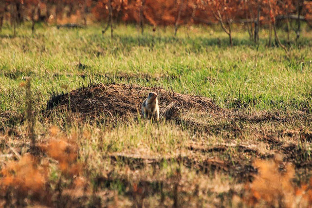 Resident ground squirrel at the Palisades picnic area. August 13, 2024
Municipality of Jasper
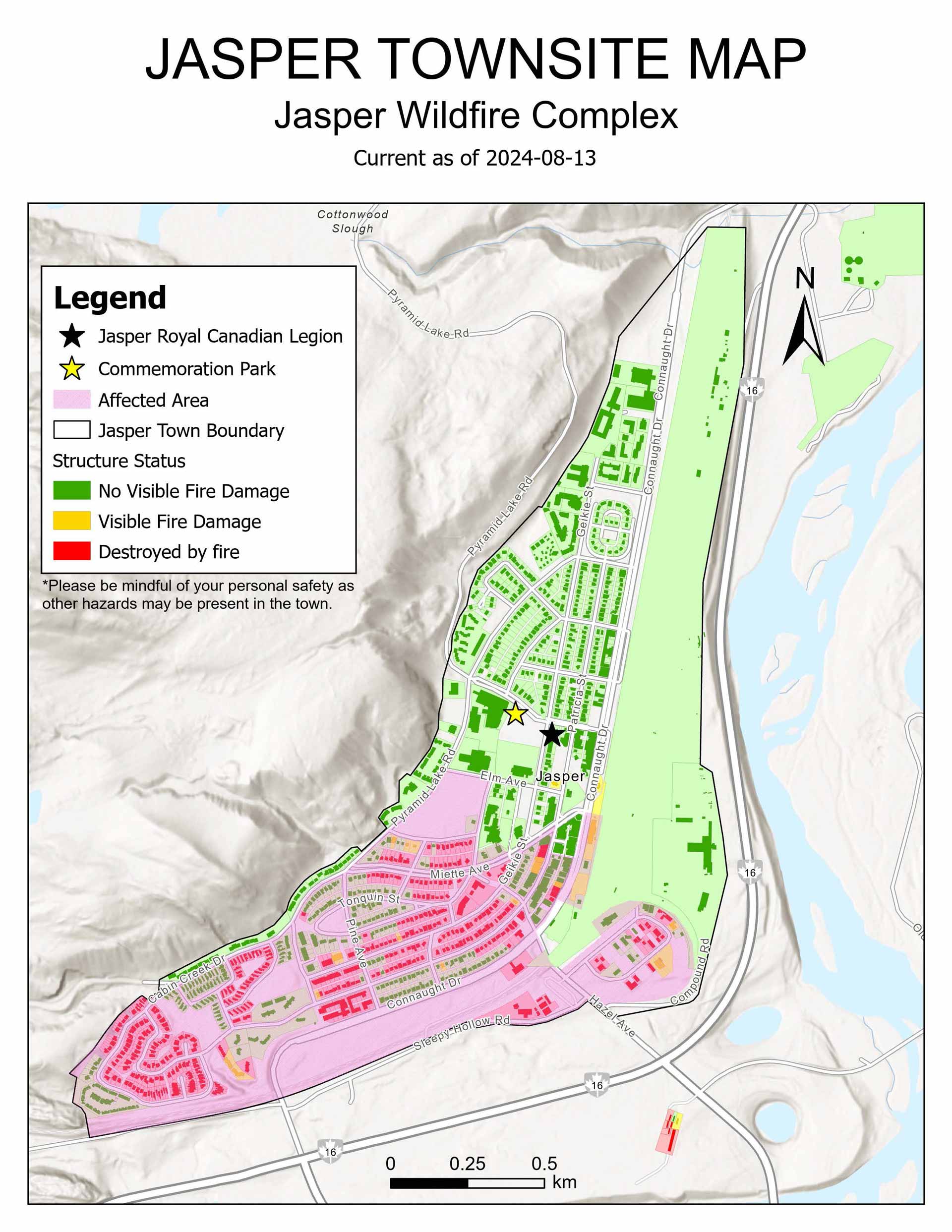 Updated Jasper townsite structure status. The pink affected area notes where utilities have been damaged or affected.
Jasper, we hear you. We understand you want to ensure the initial re-entry is for residents only. We are working on a plan for this and will update you with more details soon.
By Friday, August 16, the Incident Management Team plans to have the Re-entry Criteria met. This means Jasper will have the minimum services to be safe for residents to return.
Work continues around the clock to restore critical services to facilitate a safe and timely re-entry of residents into Jasper. Water line chlorination has been completed, and a boil water advisory is in effect for areas on the west side of town that were most impacted by the fire.
An updated Jasper townsite map and information about “House Status” is now available: Municipality of Jasper - Questions and Answers
Insurance companies continue to assess the town and will be there for the next 2 days. Businesses with questions are encouraged to reach out to Community Futures West Yellowhead.
The return date of August 16 is conditional on achieving and maintaining the re-entry criteria. For re-entry status update, visit the Municipality of Jasper progress update at jasper-alberta.ca/p/re-entry-criteria.
Please remember that increased fire activity or unplanned changes to critical services could potentially impact the re-entry date.
August 12, 6:30 pm — Day 22
Wildfire status
 Ignition tactics along Highway 16, August 11, 2024
The wildfire is still classified out of control and remains estimated at approximately 33,000 ha, however the northwest end of the fire that presents a risk to the townsite is now 99% contained or controlled. The fire around Kerkeslin Campground is fully contained.
The park received rain overnight in the Maligne Valley area and Whistlers Mountain, however no rain was received in the valley bottom and vegetation remains dry. Twelve helicopters, including a long ranger, will conduct air operations today. On the ground, crews are removing downed trees around the Caribou Conservation Breeding facility. If conditions allow, fire crews will conduct ignition operations along the Jasper SkyTram Road to bring the wildfire down from the steep slope it is burning on to an area that is safe for fighters to work on. Ignition tactics are used to reduce fire spread by removing fuels, like downed trees and other dry vegetation, under controlled conditions. Specific criteria must be met for these operations to take place.
There was lightning in Jasper over the past days. Lightning caused a new wildfire on August 10 in the Fryatt Valley and fire crews were quickly able to bring under control. Fire crews continue to do initial attack smoke patrols and are ready for any new wildfire starts.
Use of drones is illegal in Jasper National Park. Flying drones near a wildfire zone results in grounding of incident helicopter operations used in wildfire suppression or emergencies. There are serious safety and legal implications for failing to comply.
The Jasper airstrip remains closed and an airspace restriction in place. Overflights are strongly discouraged as they interfere with safe incident air operations and must not interfere with the Notice to Airmen (NOTAM –Canadian Aircraft Regulation 601.15(a)).
Municipality of Jasper
By Friday, August 16, the Incident Management Team plans to have the Re-entry Criteria met. This means Jasper will have the minimum services to be safe for residents to return.
Jasper, we hear you. The incident management team is working to prioritize residents during re-entry. Updated information will be shared before Friday.
All burned vehicles on roadways have been cleared. Work continues to restore critical services to facilitate a safe and timely re-entry of residents into Jasper. Water line chlorination has been completed, and a boil water advisory is in effect in the most affected area of the town in the west.
Insurance companies are now assessing the town and will continue for the next 3 days.
The return date of August 16 is conditional on achieving and maintaining the re-entry criteria. For re-entry status update, visit the Municipality of Jasper progress update at jasper-alberta.ca/p/re-entry-criteria
Increased fire activity or unplanned changes to critical services could impact the re-entry date.
Perimeter fencing on Patricia Street
Removing hazardous trees in the townsite
Jasper Wildfire Complex - Updated Northwest Perimeter Map, August 12
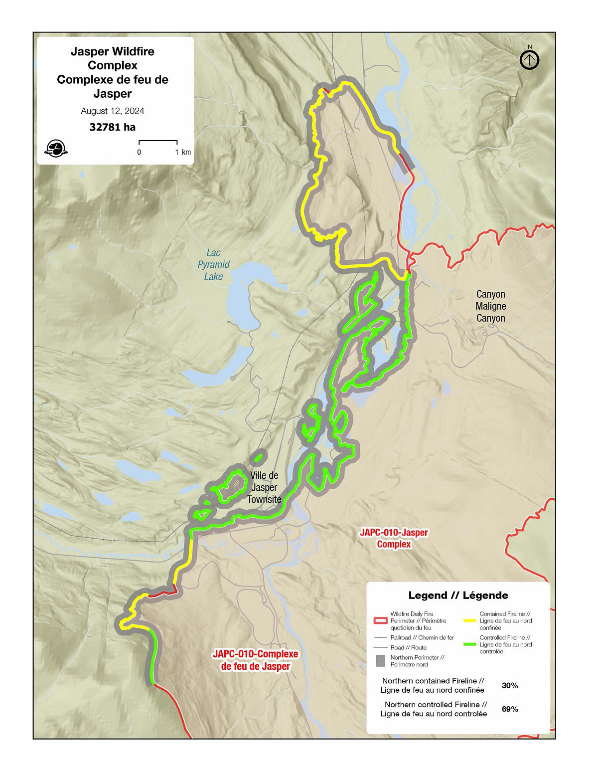 Northwest Perimeter Map, August 12
Firefighters have made significant progress in protecting the town of Jasper and surrounding infrastructure in recent days. The wildfire is still classified out of control and remains estimated at approximately 33,000 ha, however the northwest end of the fire that presents a risk to the townsite is now 99% contained or controlled.
Air and ground operations continue to work together to stop the spread on the north end of the fire, while focusing on the safe return of residents. Yesterday’s air operations included a Black Hawk helicopter which is a utility military helicopter that can perform the equivalent of three medium helicopters. On the ground, five water trucks assisted with fire suppression efforts.
August 11, 5:00 pm — Day 21
Wildfire Status
The northwest wildfire perimeter is now at 89% contained. Fire crews continue to focus on this area to gain control and secure this perimeter to fully eliminate the threat to the townsite, while patrols for hot spots in the containment area will continue. The wildfire at lakes Edith and Trefoil as well as the Jasper Park Lodge area is now classified as controlled. Fire crews will continue their fire suppression efforts and work to extinguish hot spots. Fire operations on the ground continue to be supported by helicopter bucketing operations. While containment efforts on the northern fire perimeter continue to make gains, the wildfire remains classified out of control, and stands at approximately 33,000 ha.
 Prince Edward Island provincial crew actioning hotspots around Kerkeslin Campground, August 7 2024
Yesterday’s planed ignition operation west of the SkyTram base was postponed due to unstable conditions. This operation is planned for today along with another ignition at the Jasper Airstrip area, provided conditions allow. These tactics are used to reduce fire spread by removing fuels, like downed trees and other dry vegetation. Specific criteria must be met for these operations to take place. If conditions allow for today’s operation by the airstrip, AB Highway 16 will be closed for approximately 3-4 hours this afternoon to ensure everyone’s safety. Check Alberta 511 for the latest road updates: 511 Alberta
Miette, Snaring, and Snaring Overflow campgrounds have been assessed and are now safe to access for pick-up of items left behind during the evacuation. Campers who have equipment in these locations are being contacted to coordinate equipment retrieval. Once hazard trees and road conditions are assessed in other Parks Canada campgrounds and their access is deemed safe, visitors will be contacted to coordinate property retrieval. All campgrounds in Jasper National Park remain closed.
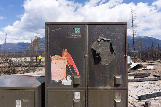 Bear bin at Wabasso Campground, August 7 2024
Municipality of Jasper
An announcement on the date of re-entry for residents of the Municipality of Jasper is planned for tomorrow. While work in reconnecting essential services to gas, water and electricity progresses, restoration of residential services could take up to three weeks or more depending on the area. Residents should be prepared to be as self-sufficient as possible, given retail and fuel services could be limited.
More information will be provided to residents upon re-entry.
For the latest updates on re-entry, visit the municipality’s website:
Evacuee information: jasper-alberta.ca/p/jasperwildfire
Re-entry progress: jasper-alberta.ca/p/re-entry-criteria
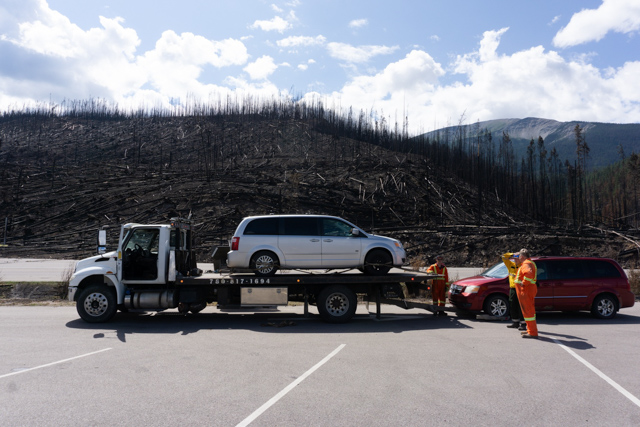 Crews towing vehicles from affected areas, August 7 2024
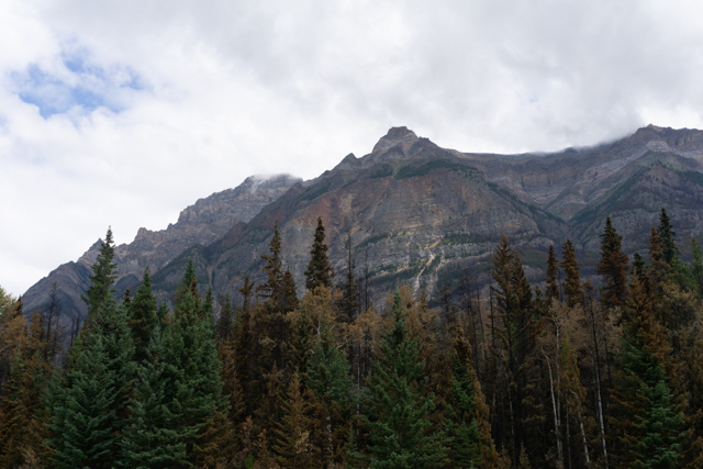 Mount Kerkeslin, August 7 2024
August 10, 2:00 pm — Day 20
Wildfire Status
Yesterday provided a sizable win for all involved in achieving 80% containment of the northwest perimeter at the wildfire. Further risks to the Municipality of Jasper have been significantly reduced thanks to the hard work and dedication of amazing firefighters and other fire specialists from around the country. Overnight infrared scanning operations were completed using drones to identify hot spots in uncontained areas. Crews will focus further on these areas in the coming days. While there is significant containment on the northern fire perimeter near the townsite, the wildfire remains classified out of control, and stands at approximately 33,000 ha.
Today, fire crews will continue extinguishing hot spots and fire suppression efforts in the Palisades area, supported by helicopter bucketing operations. Patrols for hot spots are ongoing south of the Transfer Station, between the highway and railway, and along Marmot Road. A small-scale tactical ignition, supported by bucketing operations, is planned for today by the base of the SkyTram, provided conditions allow. These tactics are conducted to reduce further risks of wildfire spread, by controlling burn fuels occurring naturally on the landscape, such as dry vegetation like downed trees and scattered brush and branches. Crews will also be at the Kerkeslin Campground area working to extinguish and contain the fire there.
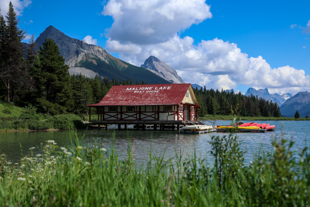 Maligne Lake Boat House, August 7 2024
Intense fire activity in the initial days of the wildfire slowed down the ability for firefighters to access Maligne Lake. Of the many structures found in the Maligne Canyon area, some of the more prominent ones destroyed by the fire include the Maligne Canyon Wilderness Kitchen, and all structures at the Maligne Wilderness Hostel. The Maligne Lake Boat House still stands, as well as the structures in the Maligne Lake area.
Information on infrastructure damage in Jasper National Park can also be found at parks.canada.ca/pn-np/ab/jasper/visit/feu-alert-fire/feudeforet-wildfire
Municipality of Jasper
Activity in the Municipality of Jasper continues to ramp up in preparation for the re-entry of residents. Aside from advancing work in reconnecting essential services to gas, water and electricity, packaged information and sessions are being planned to help residents navigate some of the logistical challenges they may encounter following re-entry.
For the latest updates on re-entry, visit the Municipality’s website:
Evacuee information: jasper-alberta.ca/p/jasperwildfire
Re-entry progress: jasper-alberta.ca/p/re-entry-criteria
Highway 16
AB Highway 16 remains opened to all traffic daily from 7 am to 9 pm (MT). Times and access are subject to change without notice and are dependent on fire behaviour and operational needs. Ground and air crews are planning tactical operations tomorrow which could impact traffic flow, potentially closing the road for up to 4 hours in the afternoon. Once safe for through traffic to resume, temporary speed reductions may be in place and motorist are asked to follow direction from posted signage and peace officers on-site.
Check Alberta 511 for the latest road updates: 511 Alberta.
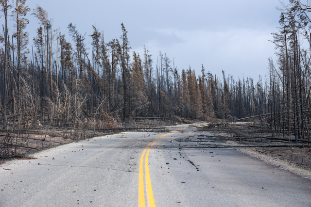 Maligne Lake Road (south of Maligne Canyon), August 7 2024
 Maligne Lake Road (south of Two Valley Canyon a.k.a. BS Canyon, facing south), August 7 2024
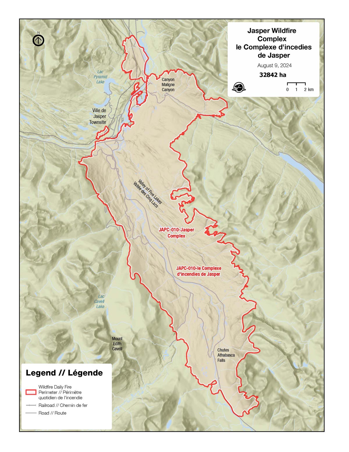
August 9, 5:00 pm — Day 19
Wildfire Status
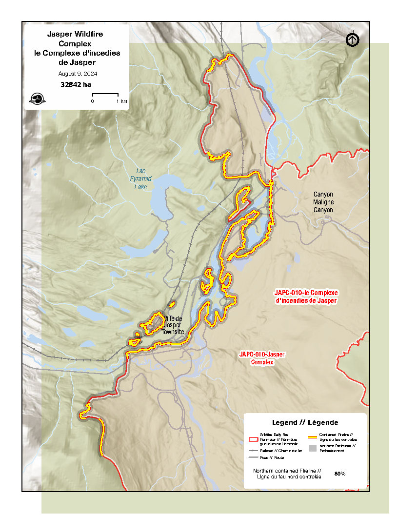 Fire Perimeter around the town of Jasper - August 9, 2024
Cool, wet weather earlier this week allowed crews to make great gains in minimalizing fire activity, although yesterday saw some increase in intensity. Yesterday, crews responded to areas where previously smoldering fires resurfaced. Air and ground operations continue to work in tandem on fire suppression efforts, while focusing on the safe return of residents.
The wildfire is still classified out of control and remains estimated at approximately 33,000 ha, however the north end of the fire that presents a risk to the townsite is now 80% contained.
The following provides a status summary to date of some of the fires of note:
- Utopia Mountain
Fire is no longer active. - Palisades area
Fire is no longer active.
19 structures: 9 destroyed and 1 damaged. - Lakes Edith and Annette
Fire is no longer active.
91 structures: 5 destroyed. - Trefoil Lakes
Fire is no longer active.
121 structures: 12 destroyed (no damage to Jasper Park Lodge Hotel). - Athabasca Falls area
Fire is no longer active.
15 structures: 7 destroyed (Incl. Wilderness Hostel). - Jasper SkyTram
Fire remains active in the area.
3 structures: no damage but lines have not been secured yet. - Whistlers Campground
Fire no longer active.
72 structures: 8 damaged, 16 destroyed. - Miette Road/Hot Springs
Fire no longer active.
No damage to structures. - Cavell Road
Fire no longer active. - Kerkeslin Campground
Fire remains active. - Caribou conservation breeding facility
Fire is no longer active.
No damage to structures but significant damage to fencing and tree cover. - Pyramid Lake area
Fire is no longer active.
No impacts from fire. - Pyramid Bench
Fire is no longer active.
Some damage to landscape.
For updated information on infrastructure damage in Jasper National Park, visit https://parks.canada.ca/pn-np/ab/jasper/visit/feu-alert-fire/feudeforet-wildfire.
Municipality of Jasper
The Municipality of Jasper continues to make visual progress and crews have made great strides in reconnecting gas, water and electricity to essential facilities and some residential blocks.
Given things are moving very quickly on getting Jasperites back into the townsite, for the latest updates on re-entry, visit the Municipality’s website:
Evacuee information: jasper-alberta.ca/p/jasperwildfire
Re-entry progress: jasper-alberta.ca/p/re-entry-criteria
Highway 16
AB Highway 16 opened to all traffic today and will continue, provided conditions allow. The highway is open to all east and westbound traffic daily from 7 am to 9 pm (MT). Times and access are subject to change without notice and are dependent on fire behaviour and operational needs.
Reminder: It is not permitted to stop along the highway. Motorists are advised to prepare accordingly – services such as gas stations and washrooms will not be available between Hinton and Mount Robson. The use of drones is strictly prohibited. Obey all signage and posted speed limits. Please be extra cautious of crews working in the area, as well as any wildlife who may have been displaced by the fires.
Some operational activities within the next 72 hours are anticipated to interrupt highway traffic flow. Any information on road closures will be shared as soon as available.
Check Alberta 511 for the latest road updates: 511 Alberta.
 Wabasso Road (93A)- August 7, 2024
 Maligne Lake Road - August 7, 2024
August 8, 4:00 pm — Day 18
Current as of 4 PM, August 8, 2024
Wildfire status
 Map of the Jasper Wildfire Complex, August 8, 2024
Cooler temperatures over the past few days have minimized fire intensity and provided good conditions for fire crews to progress on containment efforts. Less smoky conditions have allowed helicopter GPS data to further refine the perimeter size of the wildfire and is now estimated close to 33,000 ha (see map) and remains classified as out of control.
There is a slight chance of rain today, however nothing significant is anticipated. As the landscape dries, fire activity is anticipated to increase. Progress is being made in the areas of the Palisades Centre and Pyramid Lake Lodge and work in that area is ongoing. Crews will continue patrols for hot spots from south of Moberly Bridge and areas between lakes Annette and Trefoil. Hot spots are also being extinguished within 30m of Kerkeslin Campground, the Athabasca Falls area and Cavell Station.
Municipality of Jasper
Visible progress in the Municipality of Jasper continues as crews work diligently in preparing for the resumption of essential services and the safe return of residents. Hazard mitigation and debris removal within the townsite is ongoing and utilities crews are making headway in reconnecting gas, water and electricity to essential facilities, as well as some residential blocks.
Heavy equipment work on private property is only taking place to address an immediate public safety hazard. For example: an unstable chimney, tree or partial wall that could fall over. These are hazards that would otherwise prevent a home owner, or an insurance adjuster from entering the site at all. Crews are not sifting through or removing any debris on private property.
 A firefighter works to extinguish hot spots at Kerkeslin Campground, August 7, 2024
For more details on re-entry progress and evacuee information, check the Municipality of Jasper’s websites:
Evacuee information: jasper-alberta.ca/p/jasperwildfire
Re-entry progress: jasper-alberta.ca/p/re-entry-criteria
Reception Centres for evacuees remain open in Grande Prairie, Edmonton and Calgary until August 24 or until no longer required. 211 Alberta (ab.211.ca/) continues to be available for information, translation and referral to mental health supports.
Visitors who left behind important documents or medications can contact Jasper Bylaw at bylaw@jasper-alberta.ca to coordinate retrieval. At this time, requests from residents cannot be accommodated.
Highway 16
AB Highway 16 will open to all traffic on FRIDAY, AUGUST 9, provided conditions allow. The highway will open to all east and westbound traffic daily from 7 am to 9 pm (MT). These times will now apply to commercial traffic as well. Times and access are subject to change without notice and are dependent on fire behaviour and operational needs. Stopping along highway is not permitted and motorists are advised to prepare accordingly as gas stations and washrooms will not be available. Check Alberta 511 for the latest updates: 511 Alberta.
 Cavell Road intersection, before Jasper Wildfire Complex. Summer 2023
 Cavell Road intersection, after Jasper Wildfire Complex. August 7, 2024
August 7, 4:00 pm — Day 17
Current as of 4 PM, August 7, 2024
Wildfire status
Yesterday, the weather did not provide as much rain as we had hoped over the fire landscape, with some areas receiving more rain than others and amounts between 3-12 mm. Crews however did continue to make progress in keeping the fire spread minimal. The fire perimeter stands at approximately 34,000 ha and is still classified as out of control.
As we maintain and protect critical infrastructure and utilities inside and outside of the Municipality of Jasper, fire crews are increasing their efforts and prioritizing areas that are most critical in ensuring a safe re-entry for Jasperites.
Today, very little to no precipitation is expected, but continued cooler conditions should help slow the spread of the fire and keep its intensity to a minimum. Air and fire suppression operations are ongoing. Clean up of debris and removal of damaged vehicles is underway in areas that have been secured.
Municipality of Jasper
As clean up and restoration plans progress in the townsite, re-entry plans for residents continue to advance with priority on resumption of essential services. Clean up and removal of hazards is making visible gains, while damage assessments and facilities’ readiness is ongoing. Heavy equipment is only being used on private properties where hazards present public-safety risks or would prevent re-entry to home-owners and insurance adjusters.
For more details on re-entry progress and evacuee information, check the Municipality of Jasper’s websites:
Evacuee information: jasper-alberta.ca/p/jasperwildfire
Re-entry progress: jasper-alberta.ca/p/re-entry-criteria
August 7, 12:40 pm — Update on campgrounds
Parks Canada together with wildland firefighters and first responder agencies from across the country continue to battle the large wildfire in Jasper National Park. The outpouring of support from Canadians and citizens of the world continues to inspire the efforts of all people working on this incident.
The impact of the wildfire has been substantial and the focus is protecting the community, critical infrastructure, and park with fire suppression efforts. Parks Canada is also focused on providing full support to the Municipality of Jasper as they work towards meeting the needs of residents - many of whom are also Parks Canada team members.
Tourism operators and businesses that support the industry and community are the life blood of Jasper National Park’s ability to host visitors. These businesses are vital to ensuring people from across Canada and around the world have memorable connections to this Canadian treasure. Parks Canada’s campgrounds host millions of visitors each year and support the local economy. Many of these facilities have sustained damage from the wildfire.
Campers who evacuated Jasper National Park on July 22, 2024, left trailers and personal belongings behind. Ongoing detailed assessments of Parks Canada facilities continues and the closures that have been in effect have kept the campgrounds secure. Parks Canada is currently photographing every campsite and will be communicating directly with the registered campers soon on the condition of their belongings and how items left behind can be collected or permission to dispose of items damaged beyond repair.
Visitors who left medication or essential documents can contact Jasper Bylaw at 780-852-5518 or by email at bylaw@jasper-alberta.ca. You will be asked to provide your name and details on what you need to be retrieved and where it is located.
- If you were staying at a hotel, provide the hotel name and room number you were staying in.
- If you were staying in a private home accommodation, provide the homeowner’s phone number.
- If you were staying at a campground, provide the campground name and the campsite number.
The retrieval of items will be done to the best of our ability subject to the changing weather conditions, fire activity and safety considerations.
For all updates on campground cancellations and park closures please visit parks.canada.ca/Jasper and follow Jasper National Park on Facebook and X.
For wildfire status, please visit https://parks.canada.ca/pn-np/ab/jasper/visit/feu-alert-fire/feudeforet-wildfire.
August 6, 4:00 pm — Day 16
Current as of 4:00 pm, August 6, 2024
Wildfire Status
Yesterday’s cooler weather and rain helped firefighters’ efforts to extinguish critical portions of the fire, which remains approximately 34,000 ha in size. Some areas of the fire took up to 11mm of rain. Crews made gains in maintaining and protecting critical infrastructure and utilities inside and outside of the Jasper townsite. Most hot spots on Pyramid Bench are extinguished – patrols will continue throughout areas near the townsite.
Continued cool and wet weather will help minimize the fire’s intensity for a second day in a row and help crews advance their fire suppression work. Today, crews will continue putting out hot spots near Marmot Basin, and mopping up fire debris around lakes Edith, Annette and Trefoil, and Moberly and Sixth bridges. Personnel are working toward the goal of securing the northeast area of the fire to eliminate the threat to the town. Crews will also continue cleanup work in the Kerkeslin and Athabasca Island campgrounds.
Municipality of Jasper
Plans for re-entry into the townsite are quickly taking shape. Yesterday, some residents were able to view the damage to their homes by bus and more site visits for residents are taking place today.
Supported access to the townsite to allow for damage assessments was also provided to critical retail services yesterday. Progress continues on hazard mitigation and debris removal on private properties and crews continue to work at restoring utility services to the townsite.
For more details on re-entry progress and evacuee information, check the Municipality of Jasper’s websites:
- Evacuee information: jasper-alberta.ca/p/evacuationsupport
- Re-entry progress: jasper-alberta.ca/p/re-entry-criteria
211 Alberta ab.211.ca continues to be available for information, translation and referral to mental health supports.
Visitors who left behind important documents or medications can contact Jasper Bylaw at bylaw@jasper-alberta.ca to coordinate retrieval. At this time, requests from residents cannot be accommodated.
Limited access through Jasper National Park via Highway 16 for commercial vehicles and evacuated residents coming from B.C., continues to be facilitated, as conditions allow. We are working to facilitate reopening for all other through traffic, and those details will be shared as soon as the information is made available. Check Alberta 511 for the latest updates: 511 Alberta
Jasper National Park remains closed and under evacuation order. View the Area Closure
To see more photos of Jasper, view the Jasper infrastructure photo album.
Please note: These photographs were captured by a Parks Canada photographer who is trained and equipped to be on scene during a wildfire.
August 5, 4:00 pm — Day 15
Current as of 4:00 pm, August 5, 2024
Wildfire Status
Yesterday, crews made progress in maintaining and protecting critical infrastructure and utilities inside and outside of the Jasper townsite. Firefighters are continuing to put out hot spots. They’re also implementing structural protection on facilities within 15 km of the active fire perimeter. Structure protection that had been set up in the Miette Hot Springs area due to the Utopia wildfire was taken down.
Yesterday’s cooler weather and light rain helped to minimize the spread of the fire and allowed fire crews to make good progress. While there was slight growth on the wildfire, its size continues to be estimated at 34,000 ha.
Today’s cooler temperatures and anticipated rain amounts of 5-10 mm (up to 20 mm in some areas) will provide much needed relief. Although this will not stop fire activity, it will minimize intensity and provide optimum conditions for firefighters to progress in fire suppression work.
Crews are working to secure the north end of the fire perimeter and will be cleaning up hot spots at Lake Edith and Moberly Bridge. Hot spots along Pyramid Bench have been extinguished and the Canadian Armed Forces (Canadian Army) is patrolling the area to make sure there are no further fire threats from these locations immediately adjacent to the community.
Municipality of Jasper
As preparations for reentry into the townsite ramp up, activity in the Jasper townsite is also increasing.
Today, a limited number of critical and retail services (gas stations, grocery stores and pharmacies) is working in designated zones within the townsite during a limited time, to do initial assessments of damage in preparation of resumption of services.
Hazard mitigation and debris removal on private properties is ongoing to reduce risks that could otherwise prevent reentry to the sites. Crews continue to work at restoring utility services to the townsite.
As the phased approach in reentry planning continues, supported access to the townsite began today for critical and retail services to allow for assessments. Residents whose homes were damaged were also given an opportunity to view the sites by bus. Photos of property in the town that have sustained damage are being gathered and will be shared online for Jasperites to view.
Evacuees located in B.C. were able to travel to Alberta today on Highway 16. Travelers were escorted by the Royal Canadian Mounted Police during scheduled times and were not allowed to stop along the way or go into the Jasper townsite.
Check the Municipality of Jasper’s website for more on evacuee information and re-entry progress details.
Outreach Workers from Community Outreach Services continue to be available for support to evacuees at the Valemount Community Hall until August 6 from 10 a.m. to 3 p.m.
211 Alberta continues to be available for information, translation and referral to mental health supports.
Visitors who left behind important documents or medications, can contact Jasper Bylaw at bylaw@jasper-alberta.ca and they will coordinate their retrieval.
Jasper National Park remains closed and under evacuation order. View the Area Closure
To see more photos of Jasper, view the Jasper infrastructure photo album.
Please note: These photographs were captured by a Parks Canada photographer who is trained and equipped to be on scene during a wildfire.
August 4, 4:00 pm — Day 14
Current as of 4:00 pm, August 4, 2024
Wildfire Status
Yesterday was an exceptionally difficult day, with the loss of an Alberta Wildfire member on the fire line. Incident personnel and the firefighting community are all in mourning, and our hearts and thoughts go out to the family and friends of our fallen colleague and friend. The Jasper Wildfire Complex experienced significant growth yesterday (approx. 2,000 ha) and is now estimated at 34,000 ha. Variable wind speed and direction created additional fire activity in several places. Progress was made in reducing the fire threat in the Utopia Mountain and Miette Hot Springs areas.
Today, protection structures in the Utopia Mountain/Miette Hot Springs area are being demobilized as there is no current fire threat in this area. Crews will continue to work on maintaining and protecting critical infrastructure and utilities, while continuing containment efforts near the Jasper townsite. Facility protection will be ongoing for other remaining values at risk within 15 km of the active fire perimeter.
Cooler weather and precipitation over the next few days are expected to provide some relief. Today rain amounts are forecast at only 2-5 mm late this afternoon or evening. Tomorrow, Environment Canada indicates a 100% chance of rain and 80% on Tuesday.
Municipality of Jasper
The Municipality of Jasper’s re-entry plan is underway for the townsite and properties within Jasper National Park. With approximately 40 sub-plans being implemented, a phased approach will ensure the safe and supported re-entry of residents and business owners.
Please note, wildfire behaviour and the risk to the town and outlying properties will ultimately determine when re-entry is possible, even after essential services are restored.
Critical services and critical retail (gas stations, grocery stores, pharmacies, schools) are expected to visit their sites starting on Monday to allow for initial damage assessments, that will allow us to get those services restarted as soon as possible.
Perimeter fencing around damaged sites, and hazard tree removal and clean up are now complete. Hazard identification and debris removal continues, including on private properties, reducing significant hazards which would have prevented entry to properties (such as a tree or large structure that could fall).
Crews continue to work at restoring utility services to the townsite. Street sweeping and cleaning crews are working to prepare all municipal buildings for reopening.
Following the recent fire line accident, additional mental health supports have been deployed to support the Incident Management Team in Hinton. Outreach Workers from Community Outreach Services are available for support to evacuees at the Valemount Community Hall until August 6 from 10 a.m. to 3 p.m.
2-1-1 continues to be available for information, translation and referral to mental health supports.
Visitors who left behind important documents or medications, can contact Jasper Bylaw at bylaw@jasper-alberta.ca and they will coordinate their retrieval.
Campground Belongings
For those with belongings still in campgrounds, your property is secured and a plan for returning your belongings will be communicated as soon as possible. Ongoing detailed assessments of Parks Canada facilities continues, and we are aware that some campgrounds sustained significant damage. Recovery of personal belongings may not be possible for all visitors.
Highway 16
Limited access for commercial vehicles through Jasper National Park via Highway 16 continues to be facilitated, as conditions allow. Safety of incident personnel and through traffic remains top priority, as the fire remains active and classified as out of control. We are facilitating movement of evacuated residents when it is safe to do so. We are working to facilitate reopening for all other through traffic, at the same time as commercial, and will communicate details later this week.
Check Alberta 511 for the latest updates: 511 Alberta
Jasper National Park remains closed and under evacuation order. View the Area Closure
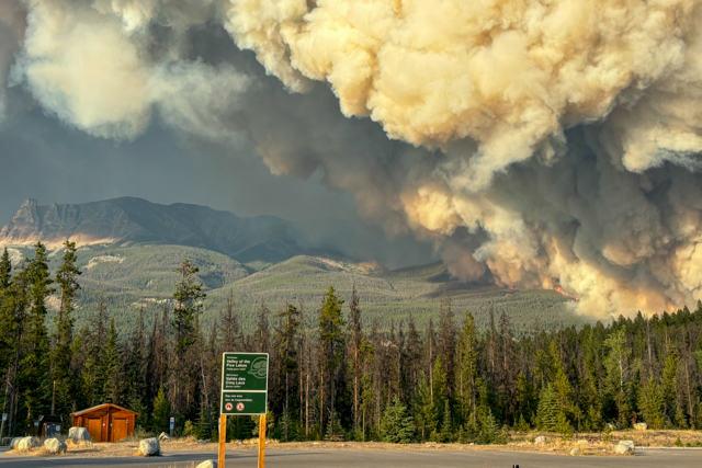

To see more photos of Jasper, view the Jasper infrastructure photo album.
Please note: These photographs were captured by a Parks Canada photographer who is trained and equipped to be on scene during a wildfire.
August 4, 10:00 am — Jasper Wildfire Complex Unified Command Statement on Firefighter Fatality
Jasper Wildfire Complex Unified Command Statement on Firefighter Fatality
August 4, 2024
Jasper, AB
Yesterday, August 3rd 2024, at approximately 14:00, a firefighter from Alberta Wildfire was working on a section of the Jasper Wildfire Complex and struck by a tree. The firefighter’s crew provided immediate first aid and the incident’s medical response plan was activated.
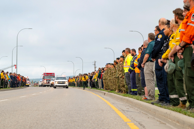
Jasper National Park’s Visitor Safety Specialists, who are providing technical rescue services to the incident responded and together with the Alberta Wildfire Unit crew on scene, used a wheeled stretcher to transport the injured firefighter to the nearest helipad. They were flown to the Parks Canada Operations Compound in Jasper where STARS air ambulance was waiting.
Tragically, despite efforts of the first responders and STARS air ambulance team specialists, the injured firefighter did not survive and was pronounced deceased shortly after transfer to STARS.
This incident highlights the dangerous nature of wildland firefighting and the hazards that crew members encounter every day. Every single person responding to the Jasper Wildfire Complex is in mourning today for our friend and colleague. The wildland fire community is small and every loss deeply impacts us all.
We are eternally grateful for the personal sacrifices first responders offer to protect Canadians and their communities. Our hearts are with their family and friends in this difficult time.
Landon Shepherd, Incident Commander Parks Canada
Dean MacDonald, Incident Commander Parks Canada
Silvio Adamo, Incident Commander Municipality of Jasper
Ken McMullen, Incident Commander Municipality of Jasper
August 3, 2:00 pm — Day 13
Current as of 2:00 pm, August 3, 2024
Wildfire Status
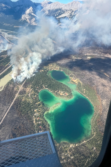
As forecast, hot, dry conditions led to an increase in fire behaviour. Activity picked up in several places, including around Edith and Annette lakes and on Pyramid Bench. Quick action by fire crews and helicopter bucketing suppressed this activity. Structure protection, including the 12” high volume system ran during the peak burning period to help protect the community and outlying accommodations. No damage to structures occurred yesterday.
Ignition operations took place on the south end of the wildfire along the east side of the Icefields Parkway to help protect Kerkeslin Campground and to prevent the fire’s spread into the adjacent valley. Fire activity was most intense in the Maligne Valley where crews have not been working.
Today, is forecast to have similar fire conditions. Both wildland and structural firefighters and crews will continue to focus on protecting the community, outlying accommodations, and critical infrastructure from any further impacts from the fire.
Municipality of Jasper
Work in town is focussing on restoring essential utilities and removing hazards in order to prepare for a staged re-entry process.
We are planning for our most essential in-town critical services and critical retail (gas stations, grocery stores, pharmacies, etc.) to visit their sites on Monday for an initial assessment of damage.
Emergency Services (fire, EMS, police, 9-1-1 dispatch) have been restored to the townsite and outlying areas and work continues to restore electricity, gas and telecommunications to the community. 2-1-1 continues to be available for information, translation and referral to mental health supports.
Outreach Workers from Community Outreach Services are at the Valemount Community Hall supporting evacuees from August 3 to August 6 from 10 a.m. to 3 p.m. All evacuees welcome. No appointment necessary.
Visitors who left behind important documents or medications, can contact Jasper Bylaw at bylaw@jasper-alberta.ca and they will coordinate their retrieval.
Jasper National Park remains closed and under evacuation order. View the Area Closure
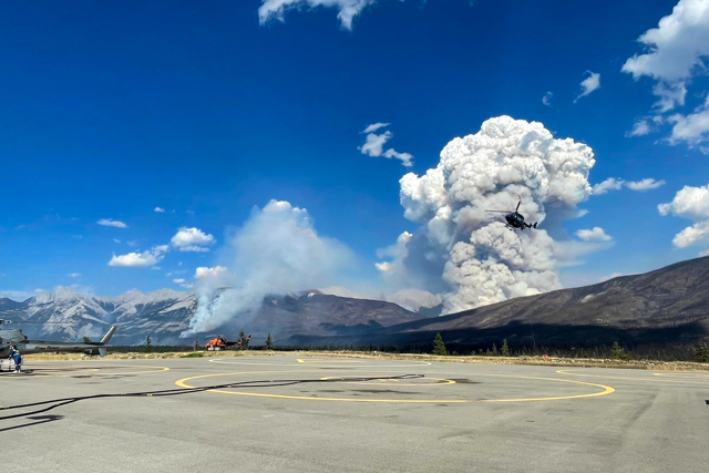
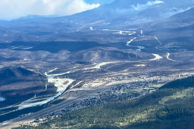
To see more photos of Jasper, view the Jasper infrastructure photo album.
Please note: These photographs were captured by a Parks Canada photographer who is trained and equipped to be on scene during a wildfire.
August 2, 4:00 pm — Day 12
7:00 PM — Highway 16 Update — 2024/08/02
Update 7:00 PM — 2024/08/02Crews and bucketing operations successfully suppressed roadside fire activity. Highway 16 will reopen to commercial traffic at 8:00 pm as scheduled. Check Alberta 511 for updates: 511 Alberta
5:30 PM — Highway 16 Update — 2024/08/02
Update 5:30 PM — 2024/08/02Due to extreme fire activity in Jasper National Park, Highway 16 is closed to all traffic until further notice. Facilitated commercial traffic will resume when conditions allow. Check Alberta 511 for updates: 511 Alberta
Current as of 4:00 pm, August 2, 2024
Note: Wildfire status updates on the Jasper Wildfire Complex will be posted once daily. We will continue to share other updates and information daily, as we receive them.
Wildfire Status
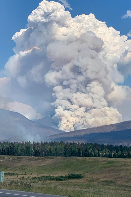
While the Jasper Wildfire Complex remains out of control, wildland and structural firefighters have made and continue to make progress. Yesterday did see fire growth and increased fire behaviour in areas where the fire is not being suppressed, primarily on the south end of the fire.
Areas of the fire where crews have been working did not see significant fire activity. These include the areas closest to the community and other critical infrastructure.
A night vision helicopter from Alberta Wildfire began bucketing operations last night from 8 PM to 8 AM this morning. This not only allows fire suppression to occur through the night when wildfire activity is lower, it also provides real-time information on the status of the fire.
As weather and time permits, helicopter GPS data is continuously refining the perimeter size, providing more accurate information. While the wildfire did experience 6,000 hectares of growth yesterday, today, the Jasper Wildfire Complex is estimated at approximately 32,500 hectares - this number is subject to change as GPS data is updated. More growth is anticipated today as the hot and dry weather continues.
Today, crews will be working along Highway 16 north of the community. Structural protection work will continue around Lake Edith and Lake Annette. Canadian Armed Forces personnel will be conducting patrols to extinguish hotspots along Pyramid Bench. Overnight bucketing operations are expected to continue over the next few days.
Yesterday, to protect the safety of responders, non-essential personnel working in the Municipality of Jasper were removed from the fire area by 2:00 pm. This was due to the potential for fire spread. Today, based on yesterdays observed fire activity around the townsite, restorative crews will be able to continue work for as long as conditions are safe.
Non-essential personnel working outside the townsite were asked to leave the fire area by noon today. Firefighters and restorative crews will continue suppression activity throughout the day.
Municipality of Jasper
Approximately 80% of perimeter fencing has been put up around affected structures and 100 % of hazard trees have been removed. The remaining fencing is expected to be completed by Saturday, August 3, provided conditions allow for crews to work safely.
The municipality continues work to restore critical services and facilities within the townsite when fire conditions permit.
Perishables are being removed from sites that are deemed critical retail (for example grocery stores, hospital, gas stations). Perishables are not being removed from residential sites. Alberta Health Services will be able to support residents with safe fridge and freezer clean-up and disposal if required. Waste removal from the town is ongoing to mitigate potential wildlife attractants.
Plans are underway to return residents of Jasper currently in Valemount to Alberta. Residents from the Alpine Summit Lodge and Pine Grove Manor arrived in Hinton today. Next week a plan will be implemented to return the rest of Jasperites in Valemount to Alberta.
The Canadian Red Cross has set up a reception centre for evacuees at the The Kanata Inns - Hinton, located at 386 Smith Street for in-person registrations. They will be open starting today, August 2, until Sunday, August 4, from 9 AM to 5 PM.
The Canadian Red Cross is distributing $750 in one-time financial assistance per household for people evacuated from their primary residence in Jasper. To access this assistance, people must be registered with the Red Cross. You can register in-person at the The Kanata Inns in Hinton. You can also register on-line at www.redcross.ca/albertawildfires or by calling 1-800-863-6528 from 8 AM to 8 PM.
Evacuated Visitors
Visitors who left medication or essential documents, like a passport that they need collected from Jasper National Park or the Municipality of Jasper, can call Jasper Bylaw at 780-852-5518 or by email at bylaw@jasper-alberta.ca.You will be asked to provide your name and details on what you need to be retrieved and where it is located.
We will be coordinating the retrieval of documents to the best of our ability given the changing weather conditions and increasing fire activity. Our ability to enter different areas is subject to change.
Commercial Traffic restored to Highway 16
With limited access restored, commercial traffic flowed without disruption yesterday on Highway 16. Access is being facilitated through Jasper National Park for commercial vehicles only. Commercial vehicles are defined as trucks, tractors, trailers, or any combination thereof, with a registered gross vehicle weight exceeding 11,794 kilograms.
To ensure safety, entry past the blockade is available between the following times (Mountain Daylight Time):
5:00 am - 7:00 am MDT
10:00 am - 5:00 pm MDT
8:00 pm - 9:00 pm MDT
These times are subject to change without notice and are dependent on fire behaviour and operational needs. Highway 16 remains closed overnight and during peak operational travel times for incident response staff. Check Alberta 511 for updates: 511 Alberta
Note – there are no restrictions on oversize or HAZMAT traffic during these specified entry times.
Jasper National Park remains closed and under evacuation order. View the Area Closure
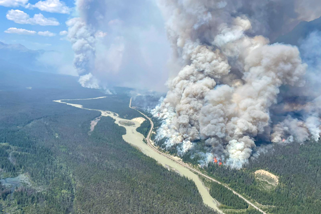
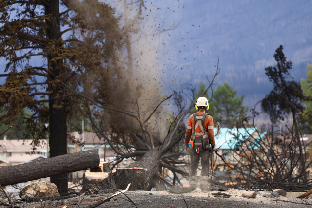
To see more photos of Jasper, view the Jasper infrastructure photo album.
Please note: These photographs were captured by a Parks Canada photographer who is trained and equipped to be on scene during a wildfire.
August 1, 9:00 pm — Day 11
Current as of 9:00 pm, August 1, 2024
Wildfire Status
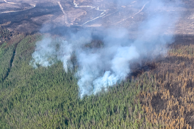
The Jasper Wildfire Complex remains out of control and grew approximately 7,500 hectares, now approximately 39,000 hectares. Today’s growth was expected and primarily on the south end of the fire. More growth is anticipated Friday based on more hot and dry weather.
A night vision helicopter from Alberta Wildfire will begin bucketing operations tonight. This specialized piece of equipment allows fire suppression to occur through the night when wildfire activity is lower. It also allows the Unified Command to receive real-time information about the status of the fire overnight during this period of extreme fire weather.
Crews, backed up by helicopter bucketing, worked to extinguish hotspots around the community and put out all hot spots around the water treatment plant. Control lines along Pyramid Bench were strengthened with small-scale ignition work.
Municipality of Jasper
Perimeter fencing continues to be put up around affected structures.
This work is anticipated to be completed by Sunday, August 3, as long as conditions allow for work in town to continue safely. The Canadian Red Cross will be setting up a reception centre for evacuees in Hinton, which should be operational in the coming days. Details on location and how to register will be posted when they are available.
Utilities work is continuing downtown alongside cleanup of debris. Undamaged content is also being recovered from damaged businesses, where possible.
Commercial Traffic restored to Highway 16
Commercial traffic on Highway 16 began this morning. Access through Jasper National Park via Highway 16 is being facilitated for commercial vehicles. Commercial vehicles are defined as trucks, tractors, trailers, or any combination thereof, with a registered gross vehicle weight exceeding 11,794 kilograms.
To ensure safety, entry past the blockade is available between the following times (Mountain Daylight Time):
5:00 am - 7:00 am MDT
10:00 am - 5:00 pm MDT
8:00 pm - 9:00 pm MDT
These times are subject to change without notice and are dependent on fire behaviour and operational needs. Highway 16 remains closed overnight and during peak operational travel times for incident response staff. Check Alberta 511 for updates: 511 Alberta
Note – there are no restrictions on oversize or HAZMAT traffic during these specified entry times.
Jasper National Park remains closed and under evacuation order. View the Area Closure
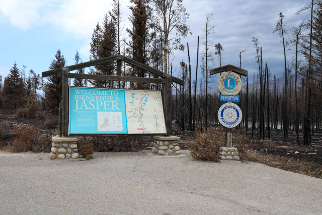
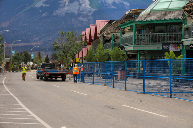
To see more photos of Jasper, view the Jasper infrastructure photo album.
Please note: These photographs were captured by a Parks Canada photographer who is trained and equipped to be on scene during a wildfire.
August 1, 11:00 am — Day 11
Current as of 11:00 am, August 1, 2024
Wildfire Status
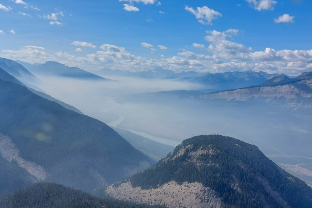
This morning, crews are working are working to contain sections of the fire perimeter and extinguish hotspots in priority areas. Fire activity is anticipated to increase during the peak burning period in the afternoon. The Jasper Complex Wildfire remains classified as out of control and is estimated to be 32,500 ha.
Strategic ignition was carried out yesterday near Kerkeslin Campground to protect the site and currently unaffected infrastructure. Depending on conditions today, specialists are preparing for ignition operations north of town in the Pyramid Lake area to help reduce risk to the community. This work will burnout fuels between the control line and fire perimeter, reducing the risk of fire spread.
Structural protection specialists are operating around town and outlying infrastructure. They are maintaining sprinkler systems that have been installed on buildings as well as the 12” high volume system in place north of the community.
Work continues to protect critical infrastructure including the wastewater and water treatment plant, where the wildfire is burning underground. Crews are working to secure the perimeter near Marmot Basin to prevent further growth into the Tonquin Valley.
Human-wildlife coexistence staff are assisting incident staff with wildlife conflicts and managing attractants in the fire area.
Municipality of Jasper
A Canadian Red Cross reception centre is being established in Hinton to support evacuees. As conditions permit, municipal bylaw officers will conduct document and medication recovery from hotels – a request process is being established. Jasper bylaw officers are also working to provide care for domestic animals that remain in the community.
Debris removal continues in town, efforts are currently focused on downtown. ATCO has now partially restored power to the downtown core and work continues on pressurizing water lines.
Highway Status in Jasper National Park
Access through Jasper National Park via Highway 16 will be facilitated for commercial vehicles.
Commercial vehicles are defined as trucks, tractors, trailers, or any combination thereof, with a registered gross vehicle weight exceeding 11,794 kilograms.
To ensure safety, entry past the blockade is available between the following times (Mountain Daylight Time):
5:00 am - 7:00 am MDT
10:00 am - 5:00 pm MDT
8:00 pm - 9:00 pm MDT
These times are subject to change without notice and are dependent on fire behaviour and operational needs. Highway 16 remains closed overnight and during peak operational travel times for incident response staff.
We are entering a period of hotter drier weather, and the fire is anticipated to become more dynamic. Access, even during these identified times is not guaranteed. Commercial motorists should expect delays.
The Royal Canadian Mounted Police is controlling access within the park at staffed checkpoints on Highway 16 in both directions. Drivers must stop and identify themselves at the checkpoints before proceeding. 511 Alberta
Park Infrastructure and Outlying Commercial Accommodation Damage Map
Parks Canada has now completed its assessment of damage to Outlying Commercial Accommodations and Parks Canada infrastructure. We are finalizing a damage assessment map and will be releasing it shortly.
Jasper National Park remains closed and under evacuation order. View the Area Closure
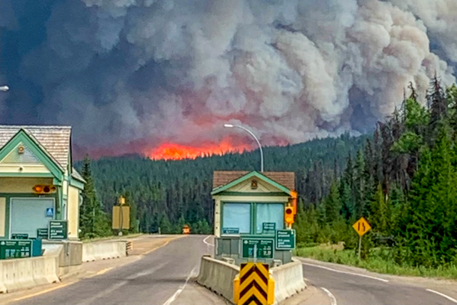
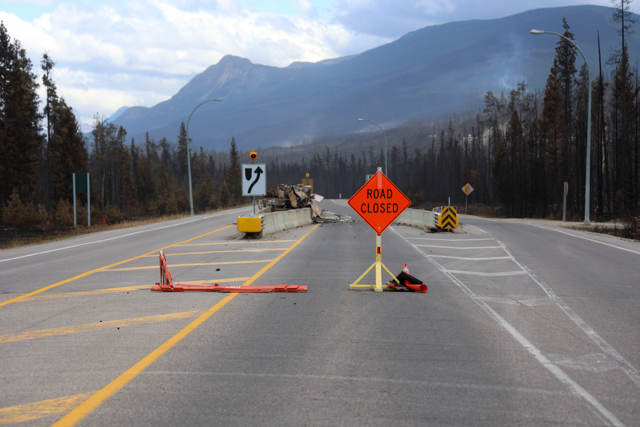
To see more photos of Jasper, view the Jasper infrastructure photo album.
Please note: These photographs were captured by a Parks Canada photographer who is trained and equipped to be on scene during a wildfire.
July 2024
July 31, 9:30 pm — Day 10
Current as of 9:30 pm, July 31, 2024
Wildfire Status
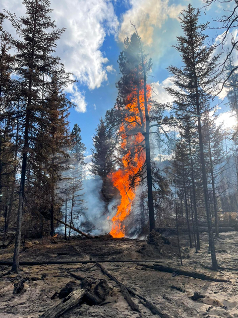
Fire activity occurred as predicted with strong winds gusting late this afternoon . Fire spread was observed on the south end of the fire, but ground crews were able to limit spread elsewhere. In some areas, trees occasionally candled, meaning fire activity moved from surface to tree top. Conditions are becoming warmer and drier so increased fire behaviour is expected in coming days that will challenge control efforts.
Unified Command reminds residents and others: the risk to Jasper National Park and the Municipality of Jasper is still very present. We have used this period of lower fire activity to prepare and there has been significant progress made on protecting the community and the park from wildfire risk. This includes the redeployment of our structure protection sprinklers, the 12” high volume sprinkler system, the construction of firebreaks using heavy equipment and the removal of unburned forest fuels through small scale ignition.
Given how dry the forest fuels (such as grasses, shrubs, and medium to large trees) now are, extreme fire behaviour may begin as soon as tomorrow. Jasper residents should be aware of the possibility of intense fire and spread. Our top priority remains protecting the community and critical infrastructure and every effort will be made to prevent further impacts from the fire.
Current Resources
Wildland firefighter resources from British Columbia, Alberta, Ontario, Yukon, and Northwest Territories are dedicated to this incident. Parks Canada staff have been deployed from nearly every province and territory across the country. Over 1,100 different personnel have directly supported this incident since it commenced.
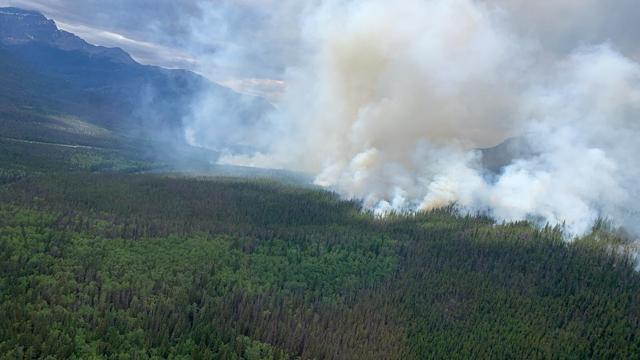
This incident continues to receive support from federal, provincial, and local agencies. To date, it is estimated over 100 organizations have supported or contributed to the wildfire response. We are extremely appreciative of everyone’s support and contributions of all natures and sizes.
Highway Status in Jasper National Park
Access through Jasper National Park via Highway 16 will be facilitated for commercial vehicles beginning today. Access to the highway is planned to begin at 5:00 am.
Commercial vehicles are defined as trucks, tractors, trailers, or any combination thereof, with a registered gross vehicle weight exceeding 11,794 kilograms.
To ensure safety, entry past the blockade is available between the following times (Mountain Daylight Time):
5:00 am - 7:00 am MDT
10:00 am - 5:00 pm MDT
8:00 pm - 9:00 pm MDT
These times are subject to change without notice and are dependent on fire behaviour and operational needs. We are entering a period of hotter drier weather, and the fire is anticipated to become more dynamic. Access, even during these identified times is not guaranteed. Commercial motorists should expect delays.
The RCMP is controlling access within the park at staffed checkpoints on Highway 16 in both directions. Drivers must stop and identify themselves at the checkpoints before proceeding. 511 Alberta
Support from Residents
The gratitude from the community of Jasper is heartwarming and fuels firefighters and frontline workers after long days putting out hot spots and preparing the town for reentry. Thank you for your grace and patience in this ongoing emergency.
Jasper residents are longing for home – we know this. When it is safe to return, you will be the first to know.
Jasper National Park remains closed and under evacuation order. View the Area Closure
To see more photos of Jasper, view the Jasper infrastructure photo album.
Please note: These photographs were captured by a Parks Canada photographer who is trained and equipped to be on scene during a wildfire.
July 31, 1:30 pm — Day 10
Current as of 1:30 pm, July 31, 2024
Over 750 personnel from across multiple federal, provincial, and municipal agencies are committed to responding to this fire. We appreciate the dedication and perseverance of crews and command staff on and off the fire line.
Wildfire Status
The Jasper Wildfire Complex remains out of control. Our top priority is on reducing the remaining risk it poses to the community. As expected, we are beginning to see an increase in fire behaviour as weather transitions to hotter, drier and windier conditions. Thundershowers and wind gusts could create challenging conditions for firefighters who continue to action high priority areas.
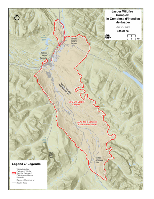
Ignition teams are carefully considering options to strategically remove forest fuels and contain the wildfire within natural, pre-existing, and constructed fuel breaks. Doing so will help secure the perimeter of the fire closest to the north end of the community, protecting it from potential future impingement.
As conditions become hotter and drier, more smoke may become visible in the region. Operations are strategically focusing efforts in critical areas to mitigate this expected change in weather. Crews will continue critical infrastructure protection in the town and in outlying areas.
Updated Perimeter Map
Crews are using helicopters to map the perimeter of the wildfire more accurately when safe to do so and when limited smoke is present. Having up-to-date data is important to track fire growth and allows Unified Command to make informed plans on where to tie in dozer guards to natural fire breaks like rivers and ridges.
The outline shown in the map represents an estimate of the furthest area burned, not what is currently burning. It is important to note that this is an estimate and will change when there is a chance to do more detailed mapping. Within the estimated perimeter there will be areas completely burned, partially burned and areas which did not burn at all.
Parks Canada is working to retrieve property and recreational vehicles from campgrounds -- more information will be shared as soon as available.
Municipality of Jasper
Work to restore utilities is ongoing and progress is being made. Crews are working to flush water lines, repair downed power infrastructure, and reenergize buildings beginning with critical infrastructure and key municipal facilities.
Perimeter fencing is being put up around affected structures. Municipal enforcement teams continue to retrieve pets from the town. Hazard tree assessment and removal is ongoing. Crews are making progress on restoring power to key areas in the town.
Municipal facilities are being cleaned as teams scale up operations to support re-entry, once it becomes safe to do so. After a few days of rest, Municipality of Jasper officials will be transitioning with Canada Task Force 2 into key Unified Command positions today. CANTF2 will continue their deployment to support municipal operations for another week.
Air Quality

A Government of Alberta Mobile Air Monitoring Lab (MAML) is in Jasper to monitor air quality. There are a variety of air quality pollutants most commonly associated with forest fires, including coarse and fine particulate matter, polycyclic aromatic hydrocarbons, sulphur dioxide, and ozone. Updates will be provided when available.
Highway Status in Jasper National Park
Plans are underway to imminently facilitate movement of heavy commercial traffic (semis only) across AB Highway 16, and for other users when feasible. Updates on highway status will be posted to 511 Alberta and on this page.
Jasper evacuees located in British Columbia will have an escorted opportunity to return to Alberta via AB Highway 16 in the coming days.
Incident Camp in Hinton
We’re grateful to the Town of Hinton for their support welcoming hundreds of firefighters and staff. Residents, hotels, restaurants and other businesses have opened their doors and arms to provide rooms, meals, supplies, equipment and moral support.
There are currently more than 750 personnel working to respond to this incident. As more people continue to arrive as part of the recovery and response efforts firefighters will be housed at an incident camp beginning this evening west of Hinton along Highway 16. We want to free up hotel rooms for Jasper evacuees and help alleviate housing pressures within the town.
Jasper National Park remains closed and under evacuation order. View the Area Closure
To see more photos of Jasper, view the Jasper infrastructure photo album.
Please note: These photographs were captured by a Parks Canada photographer who is trained and equipped to be on scene during a wildfire.
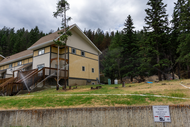
July 30, 9:30 pm — Day 9
Current as of 9:30 pm, July 30, 2024
Wildfire Status
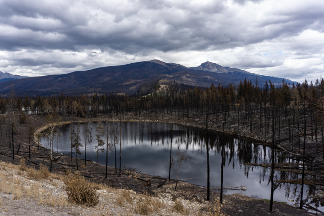
The Jasper Wildfire Complex remains out of control. Today, crews continued working in priority areas to reduce the remaining risk to the community of Jasper and around critical infrastructure. Our current priority areas are Pyramid Bench and south of Pyramid Lake, near Marmot Basin and the perimeter of the fire closest to the north end of the town of Jasper.
Weather today was warmer than forecast, which resulted in moderately increased fire activity. Temperatures reached 26°C and winds gusted to 30 km/h. Tomorrow’s weather is expected to be similar and there may be increased smoke in the area. There was some growth today on the southernmost end of the fire along the Icefields Parkway.
Ignition specialists are assessing options to burn out unburned and partially burned trees between dozer guards and the edge of the fire. These operations help to remove fuel from the fire under carefully chosen conditions to prevent the fire from breaching control lines.
Some structure protection sprinklers were able to be removed today as crews make progress on reducing risk to the community and outlying commercial accomodations. The large, 12” high volume line remains in place.
Municipality of Jasper
The risk of trees falling increases with stronger winds. Areas of town not impacted by the wildfire remain at risk of trees falling. Assessments need to be completed on any dangerous trees before they are removed.
Debris removal is underway at impacted businesses along Connaught Drive. Crews are also installing perimeter fencing around damaged structures. An initial structural assessment of the hospital reported no damage.
Crews are making progress on restoring power to key areas in the town – today both the Town and Parks Canada operations were re-energized.
Jasper National Park remains closed and under evacuation order. View the Area Closure
To see more photos of Jasper, View the Jasper infrastructure photo album.
Please note: These photographs were captured by a Parks Canada photographer who is trained and equipped to be on scene during a wildfire.
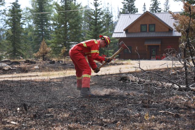
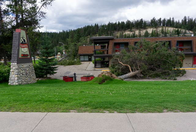
July 30, 1:30 pm — Day 9
Current as of 1:30 pm, July 30, 2024
Wildfire Status
The wildfire remains classified as out of control. Occasional rain has provided some opportunity for direct suppression ahead of drier and challenging conditions which are expected into the weekend.
Crews are working to extinguish wildfire activity adjacent to the town including in the Pyramid Bench. Other crews are actioning hotspots within the perimeter, including around Jasper Park Lodge and residences at Lake Edith.
Dozers are expanding pre-existing and natural fuel breaks to strategically reduce forest fuels and protect the town. Infrastructure protection efforts are ongoing to reduce the risk of further structural loss.
Municipality of Jasper
The Municipality of Jasper is focused on restoring critical services and addressing a variety of safety concerns that must be remediated before safe re-entry becomes possible. Infrastructure protection of the wastewater treatment is a priority. Perimeter fencing continues to be put up around affected structures and debris removal begins today from identified commercial sites within the downtown core.
Evacuee Transit through Jasper National Park
Teams continue to plan for the facilitated movement of evacuees through Jasper National Park when it becomes safe to do so. More information will be shared when available for those looking to travel from the Valemount area to Hinton in order to reunite with friends and family.
Highway Status in Jasper National Park
As the wildfire continues to actively burn and smoulder along Highway 16, the highway remains closed at this time.
Incident staff are working to develop plans to reopen Highway 16 when it becomes safe to do so. More information will be shared when the situation changes.
Red Cross Financial Assistance
Financial assistance for households evacuated from their primary residence in Jasper has been announced by the Canadian Red Cross. More details to come. Canadian Red Cross
We sincerely appreciate everyone’s patience as we continue to work on an accurate and detailed update for outlying commercial accommodations and Parks Canada locations such as campgrounds. We know that many people have had to leave their trailers, RVs, belongings, or vehicles at these locations to evacuate, and we are working to update you as soon as we can.
Jasper National Park remains closed and under evacuation order. All available resources are committed to this wildfire complex – your continued support is appreciated. View the Area Closure
To see more photos of Jasper, View the Jasper infrastructure photo album.
Please note: These photographs were captured by a Parks Canada photographer who is trained and equipped to be on scene during a wildfire.
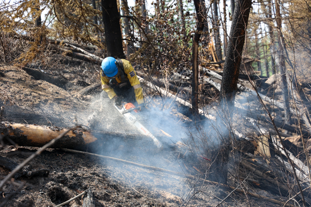
July 29, 10:30 pm — Day 8
Current as of 10:30 pm, July 29, 2024
Wildfire Status
Firefighter crews continue working to extinguish hotspots. Today, Jasper received some light rain which, combined with the cooler temperatures, led to another day of reduced fire activity. As temperatures rise and relative humidity drops over the coming days, we do anticipate some growth and increased fire behaviour beginning later this week.
Our top priority is to protect the community of Jasper from the remaining risk posed by the fire. This includes the construction of a fireguard between Pyramid Lake and Highway 16.
The 12” high volume sprinkler system has been set up along the community fireguard as the primary defense mechanism for the community.
Structural protection continues in at-risk areas around town and the park.
Municipality of Jasper
Within the Municipality of Jasper, teams are working to restore critical services and address a variety of safety concerns that must be remediated before safe re-entry becomes possible. Perimeter fencing is being put up around affected structures and debris removal activities will begin tomorrow at commercial locations in town.
Since the fire continues to pose a threat to the community, the town of Jasper remains under evacuation order. Jasper National Park is also under evacuation order and will be closed until further notice.
Parks Canada
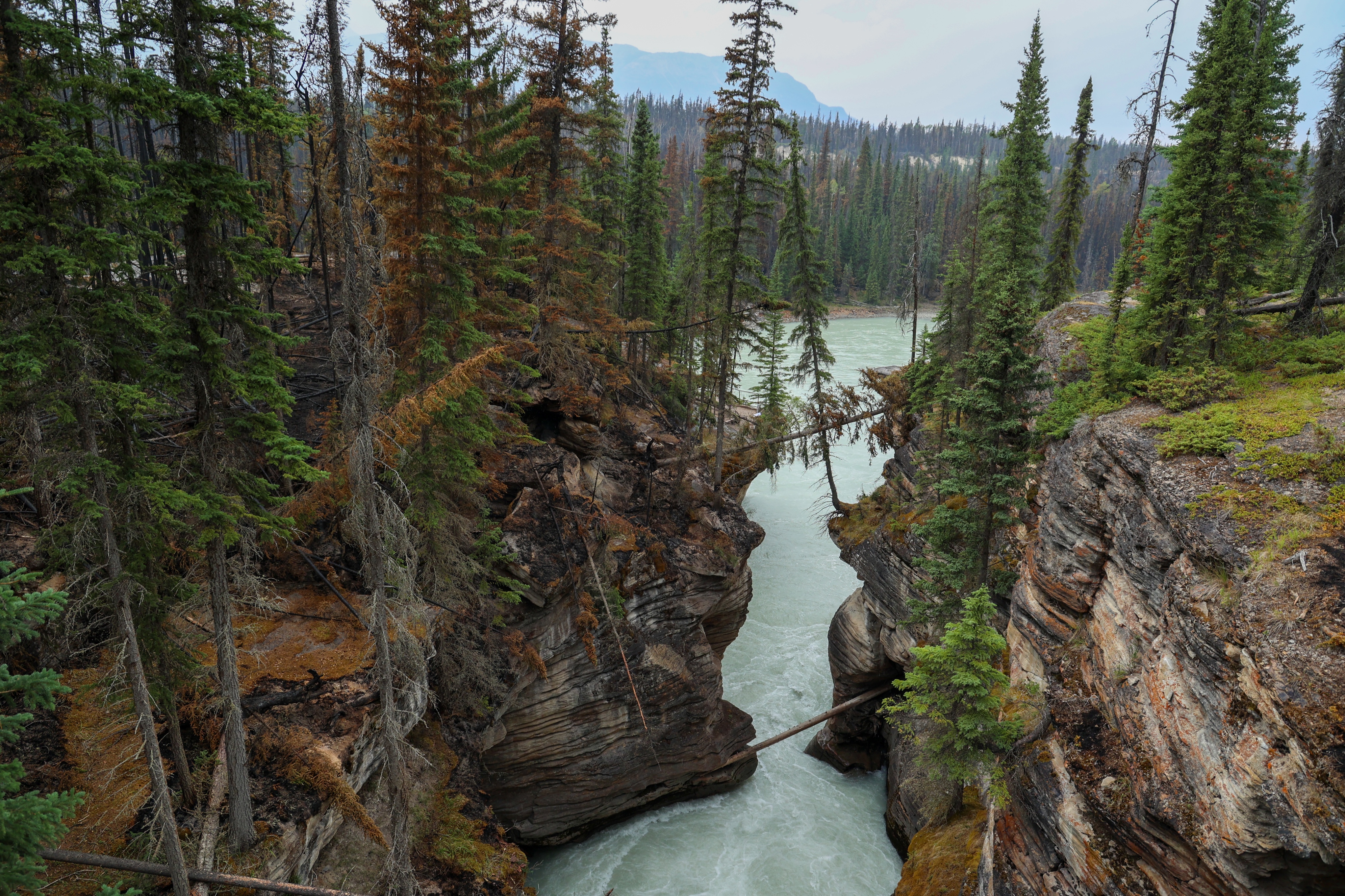
Today, crews were able to access the Athabasca Falls area and captured images of visual damage. While some areas experienced more fire activity than others, the viewpoint and its infrastructure appear to have been relatively spared.
Appreciation for the Community
We’re all working towards the same goal. Parks Canada, the Municipality of Jasper, and all responding agencies truly appreciate the immense encouragement and support shown by members of the community. Faced with an extremely tough situation, we are in awe of Jasperites who continue to bind together and support each other and the incident response team.
While we may be spread across Canada, we are closer together than ever.
To see more photos of Jasper, View the Jasper infrastructure photo album.
Please note: These photographs were captured by a Parks Canada photographer who is trained and equipped to be on scene during a wildfire.
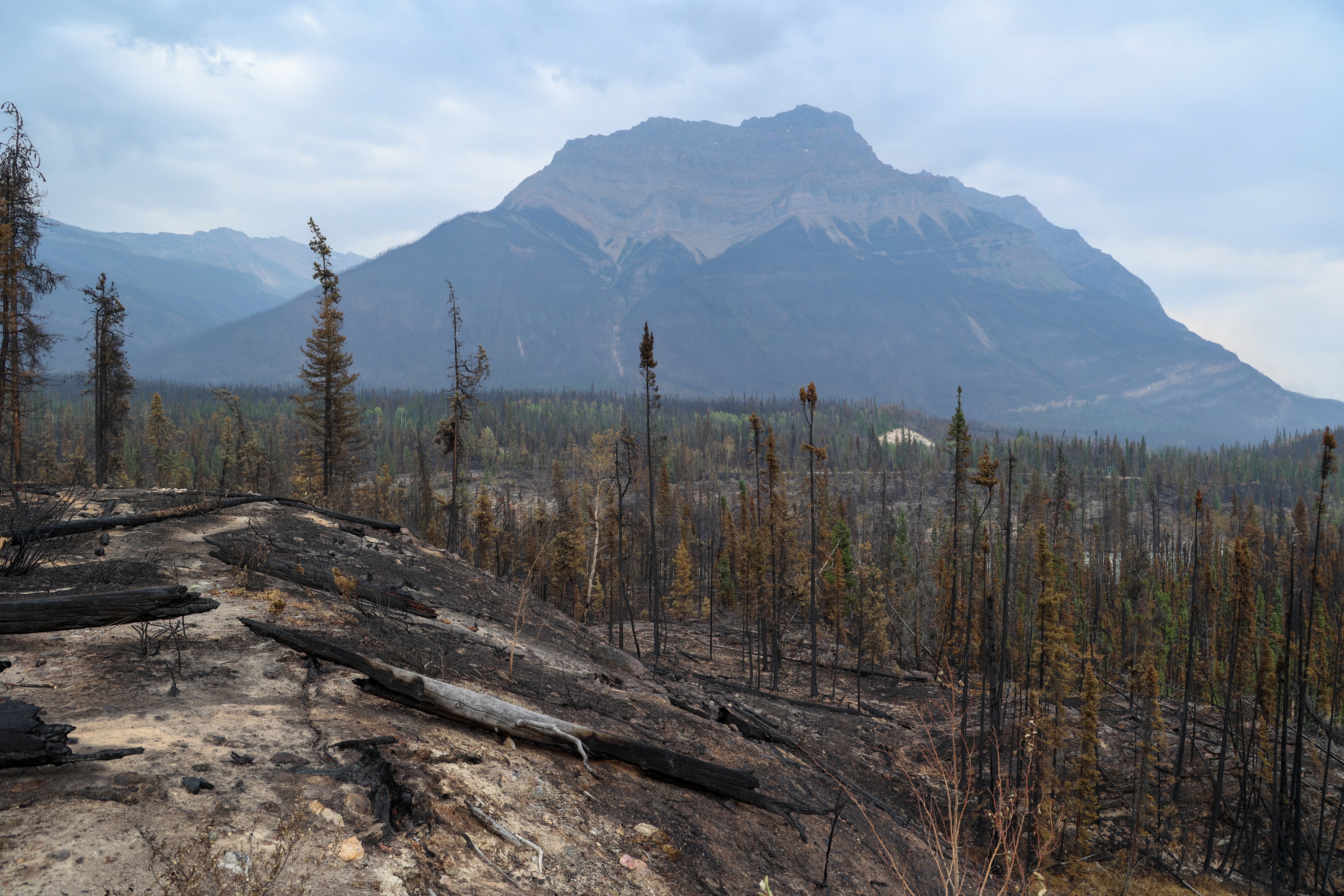
July 29, 1:00 pm — Day 8
Current as of 1:00 pm, July 29, 2024
It is heartening to see the outpouring of support from surrounding communities, who have welcomed Jasper National Park residents, staff and visitors with open arms. Knowing that people are safe allows first responders to focus on protecting the town and critical infrastructure from any further damage.
Incident management staff sincerely appreciate the immense goodwill and kind words shared by Jasperites and park visitors from Alberta, Canada, and from around the world. Just know, your love and encouragement are much appreciated by the folks who continue to respond to this wildfire.
Wildfire status
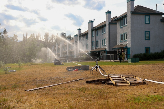
While the wildfire remains classified as out of control, no significant growth has been reported as of this morning.
Additional firefighting resources have arrived from the Province of Ontario to support ongoing fire suppression efforts. Crews continue to extinguish hotspots where feasible and will be moving into new areas including outlying commercial accommodations and Parks Canada campgrounds.
Dozer protection lines have now been added between Tram Line Road and Highway 16. Ignition fire specialists will consider options to safely and strategically reduce remaining fuels in the area, to provide additional protection to the Town of Jasper.
Alberta Day for Caring for Jasper
The Canadian Red Cross has organized a province-wide bottle drive on July 31st as part of their Aberta Day of Caring initiative. Albertans wishing to donate their bottles can say “these are for Jasper” when dropping off to any Bottle Depot on Wednesday, July 31st.
Through this campaign, the Government of Canada and the Government of Alberta will match every dollar donated by Canadians to the Canadian Red Cross 2024 Alberta Fires Appeal. This means that every $1 donated will become $3 to support those affected by the wildfires. Eligible donations already received will be matched.
Evacuee Transit through Jasper National Park
We know that many evacuees are hoping to be able to travel through Jasper National Park from the Valemount area to Hinton in order to reunite with friends and family. Teams are developing a plan to facilitate this, and we will share more information as soon as it is available.
Highway Status in Jasper National Park
As the wildfire continues to actively burn and smoulder along Highway 16, the highway remains closed at this time.
Incident staff are working to develop plans to reopen Highway 16 when it becomes safe to do so. More information will be shared when the situation changes.
Access to areas not directly impacted by the fire
As the wildfire situation in Jasper remains very much active, it continues to pose a threat to public safety in adjacent areas. All available resources are committed to this emergency.
Jasper National Park remains closed to the public and under evacuation order.
Bus Tours for Evacuated Residents
The Municipality of Jasper is in the process of planning a bus tour for evacuated residents to view the extent of damage caused by the wildfire. We are unable to give timelines yet as the site is currently unsafe and the wildfire status remains out of control. Fire activity, air quality, weather, damaged trees and overhanging trees, unstable structures, utility hazards, removal of burnt vehicles and other hidden hazards are assessed and actioned daily which will impact the timeline. Jasper National Park is still closed and under evacuation order. We know and hear that residents want access, and we will make that happen when it is safe to do so.
Alberta Government Town Hall
The Alberta Government is hosting a Telephone/Online town hall for Albertans who have been evacuated, to receive answers to questions they may have.
Monday, July 29 from 6:30 pm to 8 pm
How to participate:
Phone: 1-833-380-0691
Online
Listen and ask questions online (closed captioning is available)
If you are not able to join, a recording will be available after the event
To see more photos of Jasper, View the Jasper infrastructure photo album.
Please note: These photographs were captured by a Parks Canada photographer who is trained and equipped to be on scene during a wildfire.
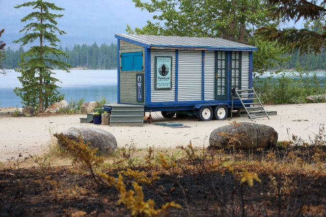
July 28, 9:00 pm — Day 7
Current as of 9:00 pm, July 28, 2024
Wildfire status
Another day of reduced fire behaviour allowed our 350 firefighters and personnel to make progress again today. Today firefighters from Parks Canada and Alberta Wildfire were again busy mopping up wildfires near values at risk. They were joined by Ontario firefighters who attacked the north line on the Palisades bluffs and the Canadian Armed Forces working on mopping up spot fires near the northwest side of town.
The Jasper Skytram Road was widened with bulldozers to create a wider control line on Whistlers Mountain to protect the community of Jasper from the increased fire activity expected on August 1, 2024. Weather forecasts indicate that dry conditions will make it easier for the wildfire to grow, making the progress now so important.
The 12” high volume sprinkler line along the community fire guard is nearing completion which will provide the contingency control feature for the community from fire spread from the west or north.
Updated fire perimeter map
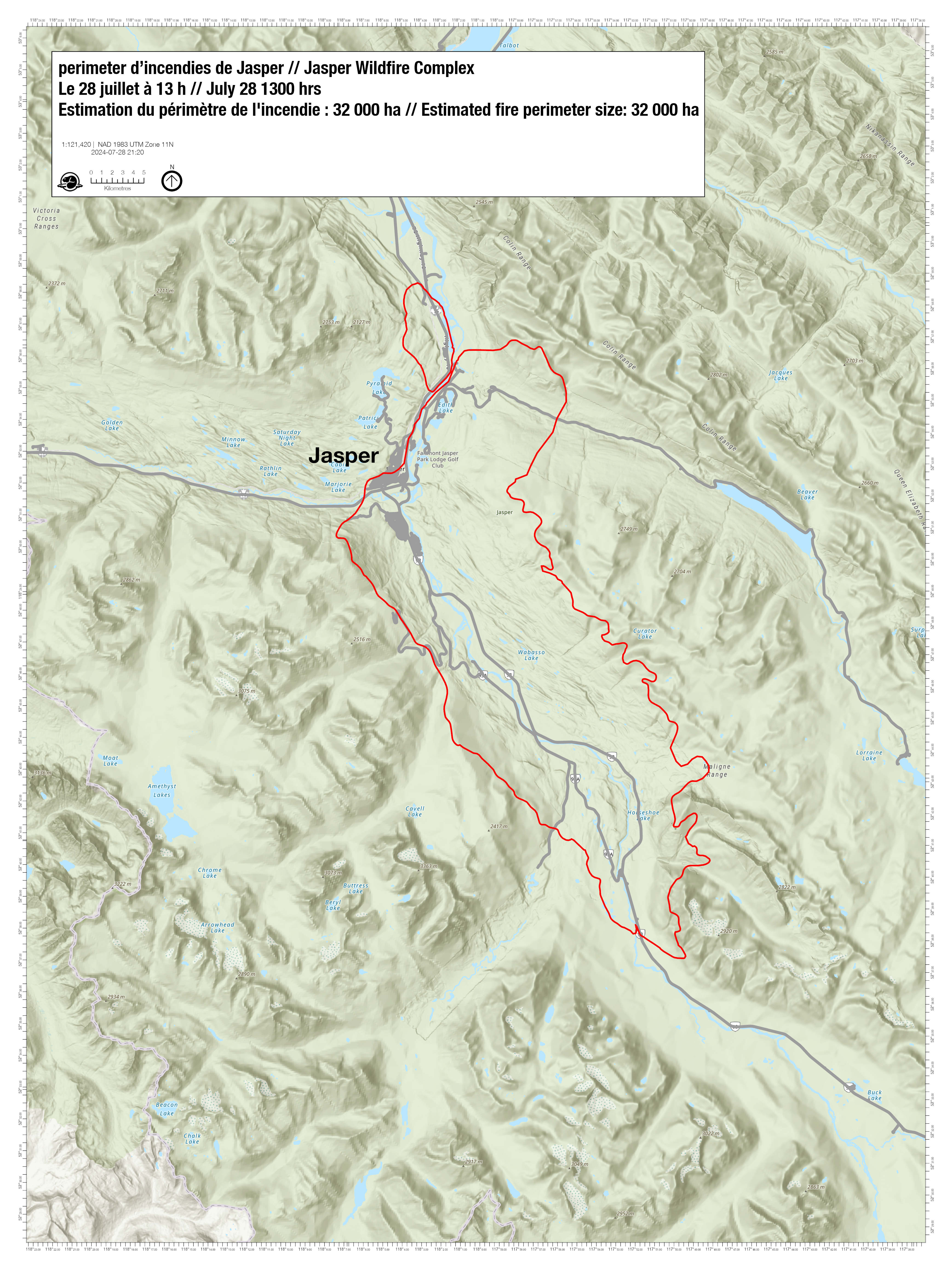
An initial aerial survey of the perimeter was conducted July 26, 2024 and determined the fire size to be approximately 32,000 hectares, with no significant changes over the last two days.
The outline shown in the map represents an estimate of the furthest area burned, not what is currently burning. It is important to note that this is an estimate and will change when there is a chance to do more detailed mapping. Within the estimated perimeter there will be areas completely burned, partially burned and areas which did not burn at all.
We sincerely appreciate everyone’s patience as we continue to work on an accurate and detailed update for outlying commercial accommodations and Parks Canada locations such as campgrounds. We know that many people have had to leave their trailers, RVs, belongings, or vehicles at these locations to evacuate, and we are working to update you as soon as we can.
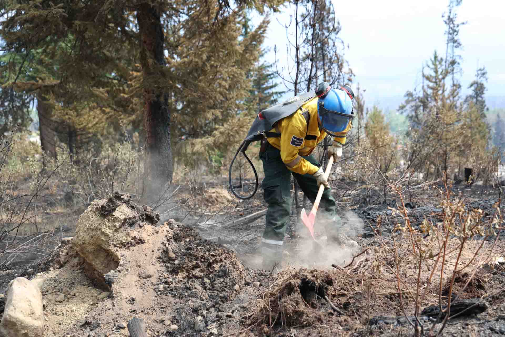

July 28, 1:00 pm — Day 7
Current as of 1:00 pm, July 28, 2024
The community of Jasper is grieving infrastructure losses in the town. We have been working hard to be able to get the same accuracy of information for areas outside of the town and a map is being developed. With hot spots in the town extinguished, crews can focus efforts to other residences and outlying accommodation areas.
To every single firefighter, contractor and resource that answered our call, thank you. We want to highlight that Valemount, McBride, and Clearwater sent their crews and fire engines to us even while surrounded by their own wildfires. Thank you for answering our call for assistance and risking your own wellbeing to keep the bulk of our close-knit community intact.
Our goal is to control this wildfire and we can only reopen when safe to do so. This is the largest wildfire recorded in Jasper National Park in the last 100 years, and ensuring that residents and visitors are safe to return will take time.
Town security
While the Jasper Townsite is evacuated, the RCMP is ensuring the security of the area. There are checkpoints along highway 16 securing the entrance into the town and barricades at Saskatchewan Crossing and at the west gate entrance on the border of British Columbia.
The RCMP has a 24-hour presence in Jasper National Park and the Municipality of Jasper. Access to the townsite is limited to incident staff and critical contractors who are responding to this active emergency. Travel into and out of Jasper National Park remains restricted and can only be evaluated for reopening when the risk of wildfire activity is significantly reduced.
Patrols are ensuring that no unauthorized access to the community is occurring. Any unauthorized people found in the community will be subject to arrest.
Town of Jasper update
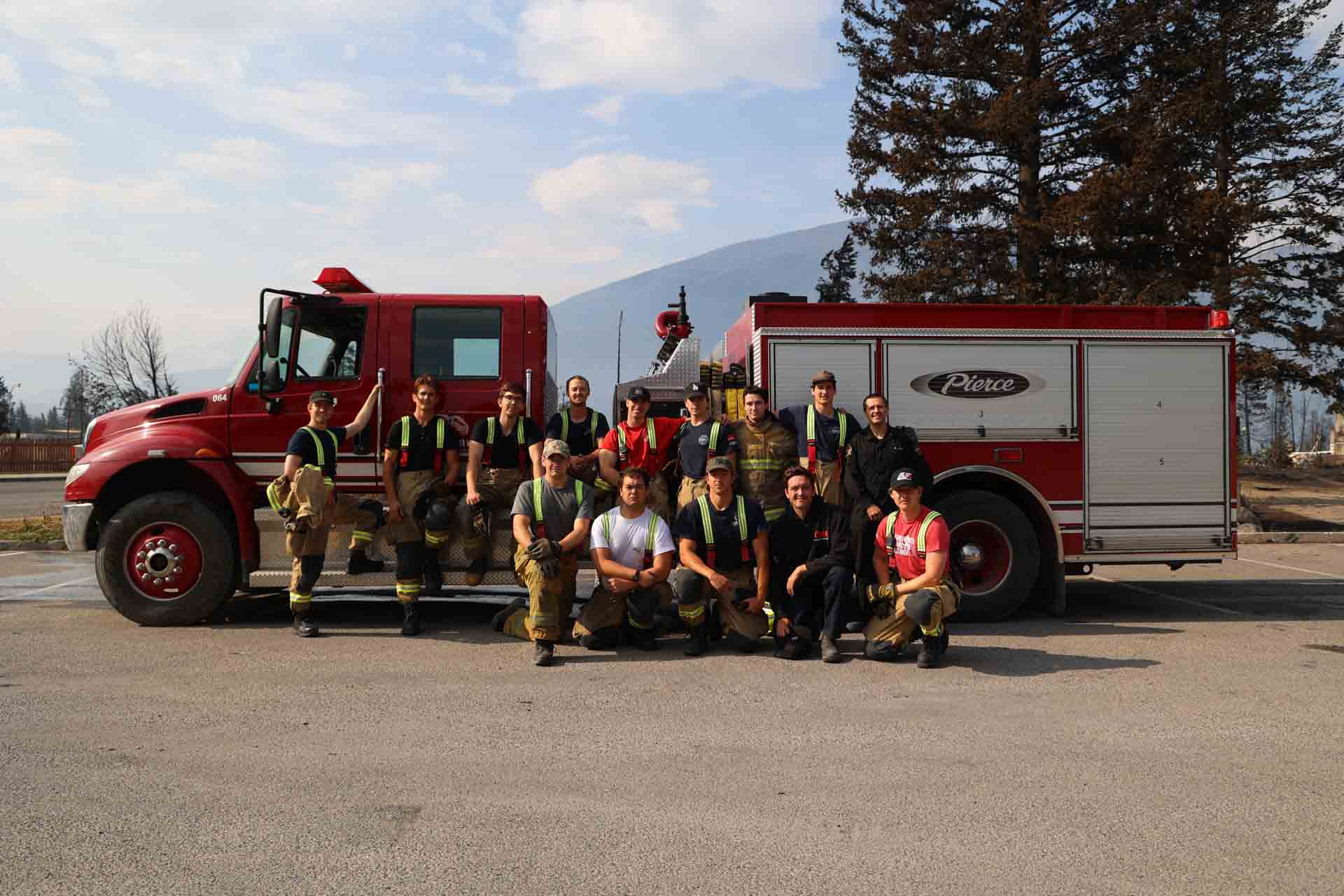
Structural firefighters after briefing, July 28
We released an initial map of damage to structures in town based on a street view assessment. We know that some structures marked “no visible damage” may have actually sustained damage to the sides, back or inside. Please see the Municipalities web page for more information and some FAQs supporting this information.
Crews in town are maintaining sprinkler systems and actioning any hot spots near the town perimeter.
The wildfire continues to pose a risk to the community. To help reduce this risk the 12” high volume sprinkler system is being redeployed from south of the community to the vulnerable north and west side of the community to address the risk posed by active fire burning near the town.
Requests for item retrieval and fridge removal
The Unified Command Team and individuals working to respond to the incident are receiving significant numbers of requests for assistance in retrieving important personal items or removing food, fridges and freezers.
We’re aware of this, and are working to restore power to as much of the townsite as possible in order to minimize this risk. Prior to re-entry, residents will receive information on cleaning and sanitizing of all major appliances and surfaces in their homes.
At this time all resources are fully engaged in operations to protect the town from the remaining wildfire risk and recovering from the impacts of the fire in the townsite. We cannot accommodate these requests at this time.
Wildfire status
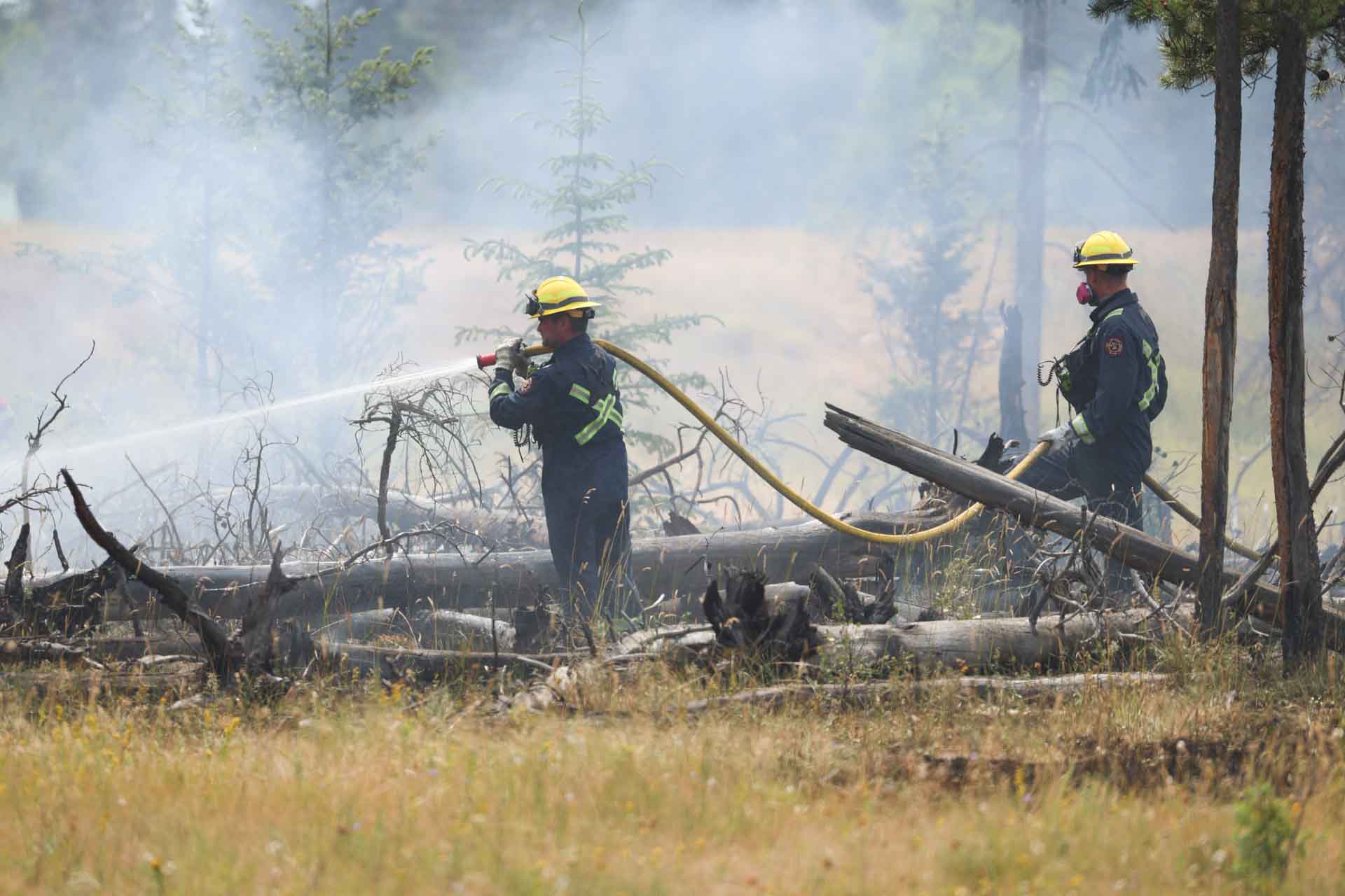
Wildland firefighters, July 27
The wildfire spanning ~ 32,000 ha is still burning to the north, south, and east of the town. The wildfire perimeter has been generally stable since the 12mm of rain received on July 25th. There were minimal open flames in the forest on Saturday, however some hot spots began to become more active as the forest fuel dries.
We expect to see a continued increase in fire behaviour today, as fuels continue to dry out.
Crews continue to work on securing the perimeter of the wildfire to prevent further spread towards the community and critical infrastructures. This work is being done by extinguishing hot spots, aided by helicopter bucketing.
Yesterday, heavy equipment supervisors and Parks Canada Environmental Assessment specialists created a plan to build containment lines using bulldozers. This work started today, along the Pyramid Lake fire road.
Options are also being examined for small ignition operations on the perimeter of the wildfire to secure it to control lines and natural fire barriers. These operations are used to help control the perimeter by bringing it to the control lines under favourable weather conditions.
Crews are also working to extinguish fires and hot spots along Highway 16.
Some crews are focusing on extinguishing fires on Pyramid Bench near town.
Dozer protection lines are being added between Tram line road and Highway 16. Dozer protection lines are also being added along existing fire breaks such as Pyramid Fire Road, which are also being widened.
Dozer protection lines are created when organic material is removed leaving behind only non-flammable mineral soil. These lines will stop the spread of fires on the ground, such as from burning grasses or forest floors.
Dozer protection lines don’t prevent fires from spreading through airborne sparks, but they can also be used in future planned ignitions, where areas are intentionally burned in order to deprive the main fire of these fuels.
The fire has burned over a very large area. Due to the drought conditions that existed before the fire and the high intensity of the fire itself, many hot spots exist throughout the fire’s area and along the perimeter. These hot spots take extraordinary amounts of water directly applied to them in order to be fully extinguished.
Water bombers are not currently active on this fire, as they do not apply the water directly enough to effectively target hotspots. Water bombers are an ideal tool for reducing active fire growth, and remain a tool available to the incident if flying conditions are safe and if their use would be effective.
To see more photos of Jasper, View the Jasper infrastructure photo album.
Please note: These photographs were captured by a Parks Canada photographer who is trained and equipped to be on scene during a wildfire.
Highway reopening
We know that Highway 16 is a critical route for many. The fire is still actively burning/smouldering along Highway 16.
Incident staff are working to develop plans to reopen Highway 16 and Icefields Parkway 93N to the public. Unfortunately, we do not have a timeline for this right now. We will communicate this as soon as we have an estimate.
Updates on campgrounds and areas outside of the town of Jasper
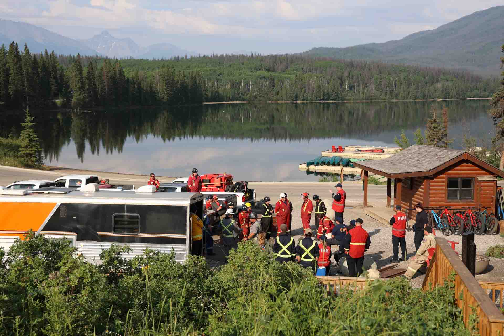
Briefing at Pyramid Lake, July 28
We're working to build an accurate map of impacted hotels/infrastructure and campgrounds outside of the town.
We know that many people were forced to leave their belongings, trailers or campers behind in the campgrounds during the evacuation. Doing so was critical in the successful evacuation of Jasper National Park.
Access to areas not directly impacted by the fire
We understand that it feels like access to areas not directly impacted by the fire should be open now. This fire is still very much an active incident, and the situation may continue to change rapidly.
At this time, there are no emergency services available within Jasper National Park, and all available Parks Canada resources are being dedicated to this emergency.
Our goal is to reopen roadways/areas as soon as possible, however, we must do so safely and in a way which doesn’t divert resources from managing the active crisis.
Protecting the town of Jasper
Over the next few days crews will be working on a detailed damage assessment that includes utilities, structures, roads, and bridges.
Fire crews may be strategically igniting pockets of remaining fuel to better protect the community.
Staying Informed
We are trying to keep all new information updated on the website and social channels.
Visit jasper-alberta.ca and look for updated news on the wildfires. If you want to contact the municipality for information please email wildfireinfo@jasper-alberta.ca.
July 27, 8:00 pm — Day 6
Current as of 8:00 pm, July 27, 2024
Today, the Municipality of Jasper released its initial damage assessment of structures in town. We express our deepest condolences to everyone who experienced losses. Mental health resources are available to help support you through this challenging time. Please see the Municipality's web page for more information.
I want to extend my heartfelt condolences to everyone who experienced losses. We are here to support the entire community of Jasper. We are stronger together and I have never been prouder of Parks Canada and the Municipality of Jasper for their response to the most devastating wildfire in a Canadian national park’s history. Our thoughts are with you, your families, and all residents and business operators during this incredibly difficult time.
Wildfire Status
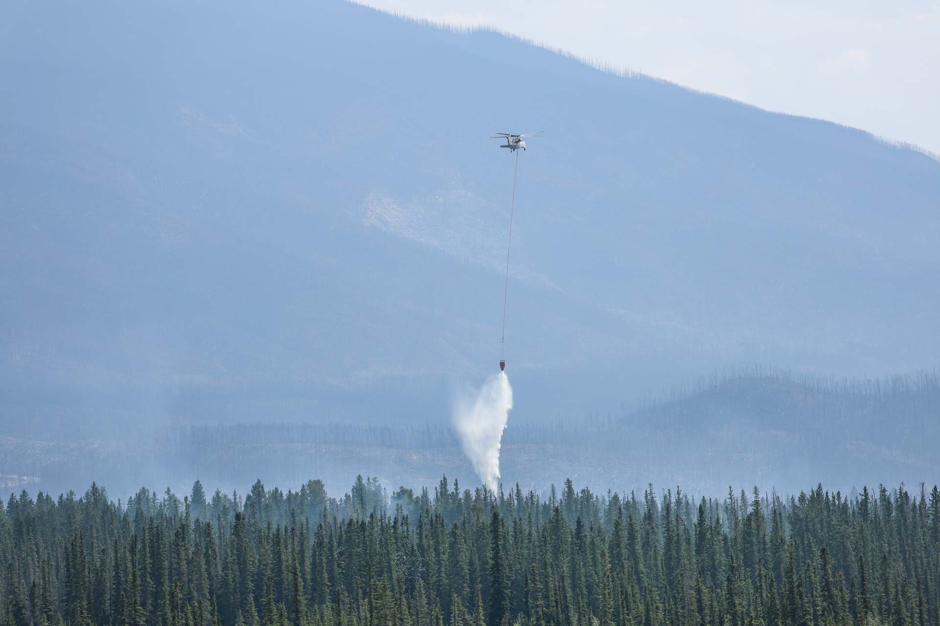
This wildfire still remains out-of-control and is expected to become more active over the coming days with warmer weather.
Visible structural hot spots within the town of Jasper have been extinguished. Firefighters continue to patrol for any fire activity with warmer weather and stronger winds. An early morning infrared scan of the town will be done overnight to provide firefighters with the gps coordinates of any hidden hot spots to put out.
Structural protection sprinklers are being relocated, from previously burned areas to the active fire perimeter adjacent to the community and outlying structures—to protect these areas. This includes more structural protection sprinklers being installed at Lake Edith and businesses north of the town of Jasper.
Bulldozers are preparing to put protection lines around the north end of the community and to help reduce spread west of the community on the lower slopes of Whistler mountain. Areas under consideration also include widening existing fire guards to ensure no further damage to the community.
Utopia wildfire update
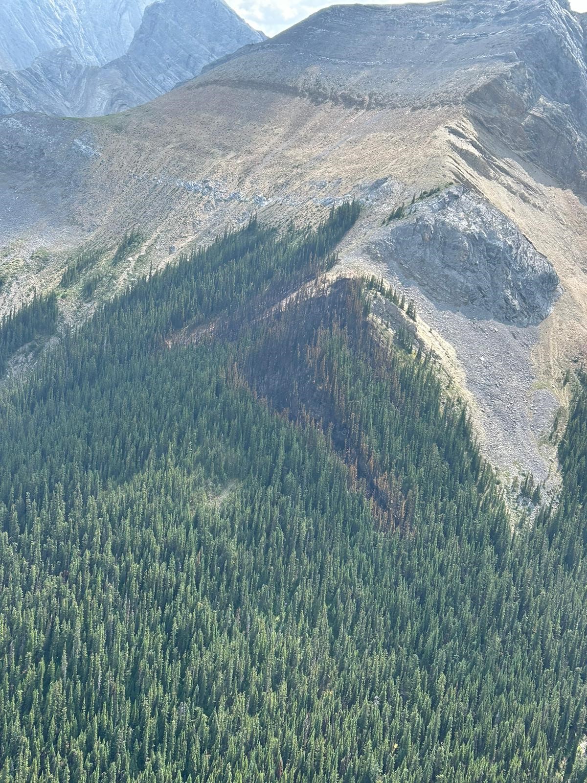
There was no visible smoke today on the lightning-caused Utopia wildfire high above Utopia Pass near Miette Hot Springs, originally reported on the evening of July 18. This wildfire will continue to be monitored to ensure it poses no risk to any infrastructure. Structural protection equipment from the Miette area is being relocated to the wildfire that continues to threaten infrastructure north of the town of Jasper.
Rescued pets

Given how quickly the wildfire spread to town, many residents were unable to get home before evacuating and have been in turmoil over leaving pets behind. 15 pets have been rescued so far. The Hinton and District SPCA donated their van, pet food and is providing shelter until these pets can be reunited with their families. For individuals who may have left pets behind, the Bylaw Officer will take them to Hinton. You can call or text 780-852-5518 for updates.
Evacuee support
Affected residents and business owners are encouraged to contact insurance companies. Tenants that have insurance can reach out to their insurance company as well. If residents don’t have tenants insurance, you can apply for the Government of Alberta evacuation funding.
Reception centres are set up in Grand Prairie, Edmonton and Calgary.
For more information visit Municipality of Jasper - Frequently Asked Questions
Evacuee transit through Jasper National Park
We know that many evacuees are hoping to be able to travel through Jasper National Park from the Valemount area to Hinton in order to reunite with friends and family. Teams are developing a plan to facilitate this, and we will share more information as soon as it is available.
Closure on the Icefields Parkway, 93N
While, at this time, there is no risk of wildfire in these areas, it is critical that visitors do not enter the park at this time to reduce exposure to unseen risks such as wildfire smoke contaminants.
There are no services available in the park and all resources are engaged in responding to the Jasper Wildfire Complex. Parks Canada Dispatch operations have been impacted, search and rescue services are unavailable, and no road rescue response is possible. If you experience an emergency, contact Parks Canada Dispatch at 780-852-6155.
An FAQ page has been added to the Municipality of Jasper’s website. Please visit https://jasper-alberta.ca/ for continued updates.
The Alberta Government is hosting a Telephone Online town hall for Albertans who have been evacuated to receive answers to their questions.
Monday, July 29 from 6:30 pm to 8 pm
How to participate:
Phone: 1-833-380-0691
Online
Listen and ask questions online (closed captioning is available)
If you are not able to join, a recording will be available after the event
July 27, 12:30 pm — Day 6
Current as of 12:30pm, July 27, 2024
In addition to the Unified Command of Parks Canada and the Municipality of Jasper, many agencies are providing resources to assist the response efforts. This includes personnel from Alberta Wildfire, RCMP, the Alberta Emergency Management Agency, the Canadian Armed Forces, ATCO Power, Telus, CN Rail, numerous municipal fire departments and many many more. We are grateful to our partners, the town of Hinton and businesses for all of the support during this continued incident.
Wildfire Status
The fire remains classified as out of control, and will be until a perimeter has been secured or the fire is extinguished.
Recent fire activity has been low. Today will see a return to slightly warmer and drier weather. Some areas, which did not receive rain, may see an increase in fire behaviour in the coming days.
Yesterday, an initial aerial survey of the perimeter was conducted and the fire size has been revised down to approximately- 32,000 hectares. This makes it the largest wildfire in more than 100 years in Jasper National Park
Crews are working along the perimeter closest to town and are planning for the creation of containment lines. Teams are focusing on securing spot fires in priority areas such as the Pyramid Bench Area near the townsite.
Bucketing will be taking place near Marmot Basin today. We do not have a current assessment of the impact to Marmot Basin Infrastructure.
Jasper Townsite
Fire suppression has been progressing well, and we are anticipating that all remaining fires within the townsite will be extinguished today.
Damage assessment has begun on utility, road and bridge infrastructure.
Power is being restored to parts of the downtown core and critical infrastructure today. This will help to speed up further damage assessment and recovery.
View the Jasper infrastructure photo album
Evacuee transit through Jasper National Park
We know that many evacuees are hoping to be able to travel through Jasper National Park from the Valemount area to Hinton in order to reunite with friends and family. Teams are developing a plan to facilitate this, and we will share more information as soon as it is available.
Campgrounds and Parks Canada Accommodations
Currently, reservations up until August 6 have been cancelled for front country and backcountry camping, as well as forParks Canada accommodations. This date will be reassessed once assessments of the Jasper townsite and outlying infrastructure have been completed.
There is no need for further action on the part of visitors for cancellations and refunds for Parks Canada campgrounds and accommodations. Refunds will be handled through the Parks Canada Reservation System automatically, this will ensure that you receive a full refund.
The status of Parks Canada campgrounds has not yet been confirmed. We will share this information when we are able to.
Closure on Icefields Parkway 93N:
While, at this time, there is no risk of wildfire in these areas, it is critical that visitors do not enter the park at this time.
There are no services available in the park as all resources are engaged in responding to the Jasper Wildfire Complex. Jasper Dispatch operations have been impacted, search and rescue services are unavailable, and no road rescue response is possible. If you experience an emergency, contact Parks Canada Dispatch at 780-852-6155.
An FAQ page has been added to the website. Please visit jasper-alberta.ca for continued updates.
The Alberta Government is hosting a Telephone Online town hall for Albertans who have been evacuated, to receive updates on the wildfire situation and answers to their questions.
Monday, July 29 from 6:30 pm to 8 pm
How to participate
Phone: 1-833-380-0691Listen and ask questions online (closed captioning is available)
If you are not able to join, a recording will be available after the event.
July 26, 10:00 pm — Day 5
Current as of 10 p.m. July 26, 2024
Today crews are taking advantage of the cooler weather to make progress on containing the remaining hotspots in smouldering structures and along the wildfire perimeter closest to the townsite.
Assessments to infrastructure damages is an ongoing process.
Damage within the townsite is estimated at around 30%. Out of a total of 1113 structures within the town, 358 have been destroyed. However all critical infrastructure in Jasper were successfully protected including the hospital, the library and the firehall. We are grateful to our responders efforts to contain the fire, minimize the damage and begin to restore essential utilities.
We are empathetic to the residents and businesses seeking more information on specific details on the extent of damage. We are working hard to verify this information and hope to release it soon.
We know people are seeing images on media and social media but what we know about fire incidents is getting the information right is paramount. It takes time to get this information correct, we understand your frustrations and we will publicly share more information when we are in a better position to do so. We want to avoid telling people they lost their home when they didn’t, or saying they didn’t lose their home when they did.
We are finalizing a list of addresses of damaged structures and intend to release it shortly
For individuals who may have left pets behind, the Bylaw Officer will take them to Hinton SPCA. You can call or text 780-852-5518 for updates.
This is the last update for today, July 26. We will resume updates in the morning.
July 26, 12:40 pm — Day 5
The priority for the 154 firefighters in Jasper is to put out any hot spots in the outskirts of Jasper and in the trees directly surrounding the town of Jasper and all structures. Cooler conditions are reducing fire behaviour as showers tapered off overnight. Winds are anticipated to reach up to 30 km/h and may increase fire activity.
Assessments of infrastructure damages is ongoing. The damage within the townsite is estimated at around 30%. Out of a total of 1113 structures within the town, 358 have been destroyed. All critical infrastructure in Jasper was successfully protected including the hospital, emergency services building, both elementary and junior/senior schools, activity centre and wastewater treatment plant. We are grateful to our wildfire teams efforts to contain the fire and minimize the damage.
Estimated fire size map
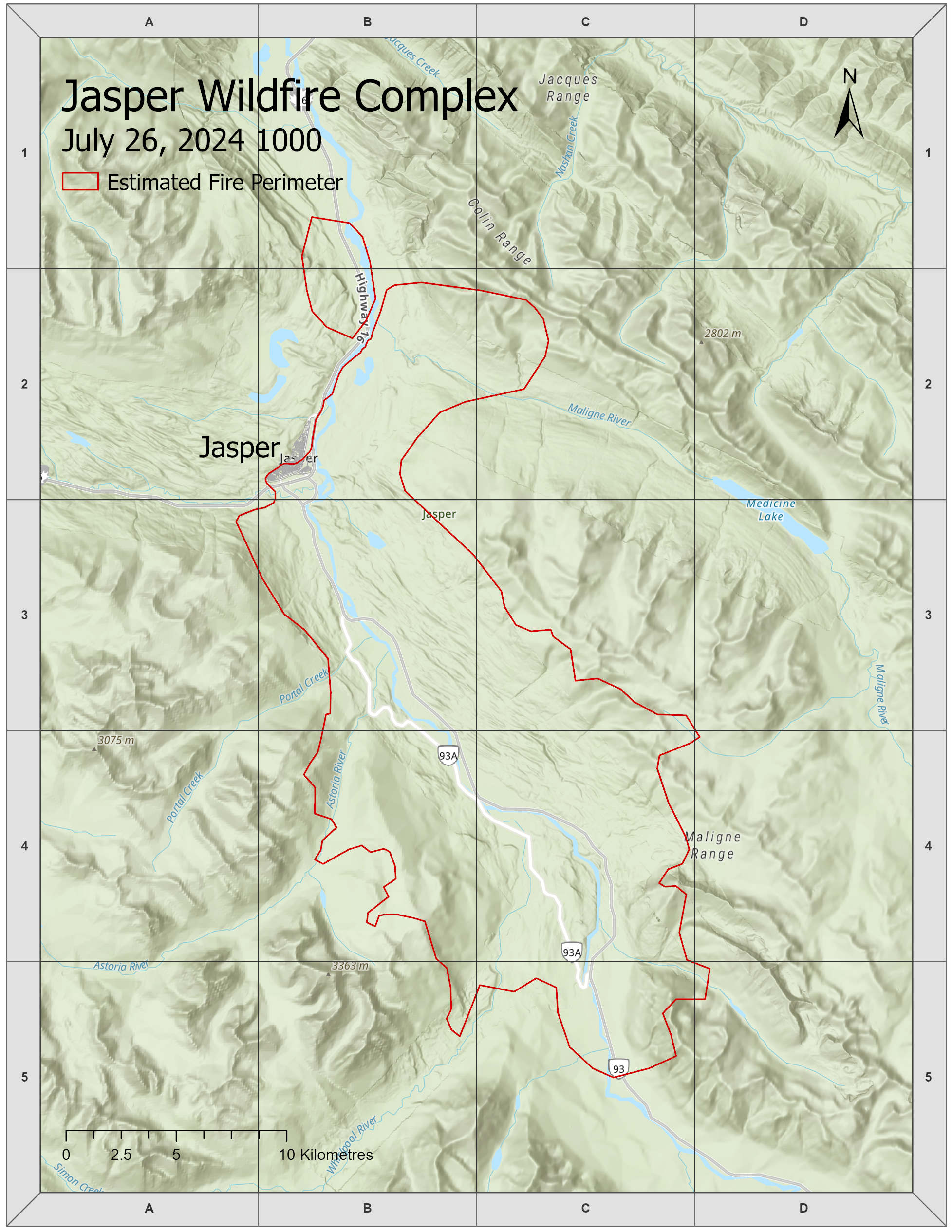
This map is a best available estimate based on satellite imaging and what crews have been able to see from the ground. This area is estimated to cover 36,000 hectares.
The outline shown in the map represents an estimate of the furthest area burned, not what is currently burning. It is important to note that this is an estimate and will change. Within the estimated perimeter there will be areas completely burned, partially burned and areas which did not burn at all.
Future maps will be refined when we can map the perimeter from the air.
Update for residents
Residents and businesses of the town of Jasper, we understand that this is an incredibly difficult and challenging time but our priorities remain addressing the active fire and assessing structural damage in the community. We are happy to report all critical infrastructure has been saved. We appreciate how hard it is to wait for confirmation about your homes.
Our crews continue to fight the fire and we remain focused on making it safe for the people of Jasper to come home. The area remains closed for public safety, evacuation order is still in effect.
July 25, 10:00 pm — Day 4
Temperatures cooled and rain started shortly after midnight last night. The 10-15 mm of rainfall in the national park has led to minimal fire behaviour and spread today. This precipitation will likely keep fire behaviour low for the next 72 hours.
Crews will take advantage of this time to make as much progress as possible to suppress the wildfire and reduce further spread. While rain in Jasper is a welcome sight, warm weather is forecasted and will increase wildfire activity. Currently the Jasper Wildfire Complex poses no threat to neighbouring communities.
Estimated fire size map
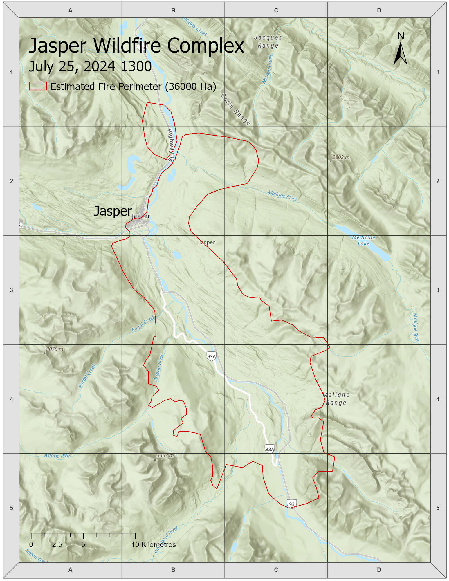
Accurately mapping the Jasper Wildfire Complex has been challenging for many reasons including strong winds, extreme fire behaviour, smoke and relocating the incident management personnel to Hinton on the evening of July 24. Aircraft have not been able to fly safely and today satellite imaging was obscured by thick cloud cover.
The map included in this update shows the estimated perimeter of what we originally named the North and South Wildfires. This map is a best available estimate based on satellite imaging and what crews have been able to see from the ground. Future maps will change when we can map the perimeter from the air. Because the perimeter of the two wildfires have met, we are now referring to wildfires in Jasper National Park as the Jasper Wildfire Complex.
This area is now estimated at 36,000 hectares.
The levels of fire activity within the mapped perimeters can vary widely. In the event that the fire perimeters overlay areas where property or infrastructure is present, the perimeters do not indicate what level of damage (if any) may have occurred. This information should only be used for reference purposes.
Jasper Wildfire Complex
A complex refers to more than one wildfire. The Jasper Wildfire Complex now includes the combined North and South wildfires and the Utopia wildfire near Miette Hot Springs that started on July 19. The Utopia Wildfire was almost being held before the other wildfires started and will be reassessed on Friday, July 26.
The Unified Incident Command Post is fully operating in Hinton. We wish to express gratitude to the Town of Hinton and their residents for all of their support. Unified Command means that responsibility for the response is shared among multiple agencies. Managing this emergency under Unified Command creates a safer and more effective environment to work in. All agencies know where resources are and what they are being used for. They can use all available resources and work in tandem rather than working around each other.
This will be the last update for tonight, July 25. We will provide further updates and information tomorrow.
July 25, 4:38 pm — Day 4
Structural damage update
We know that people are seeing images from Jasper and are anxious for more information about the extent of impacts to the town.
Structural fire protection units are still fighting fires within the town and continue to deal with fire moving from one building to another. We appreciate your patience as we work to make conditions in the town safe enough for a detailed assessment to be completed.
Incident Command is able to confirm that all critical infrastructure in Jasper was successfully protected including the hospital, emergency services building, both elementary and junior/senior schools, activity centre and wastewater treatment plant.
Although more time is needed to complete a detailed damage assessment, it is clear that some homes and businesses have been lost.
The most significant structural damage is concentrated on the west side of town, southwest of Miette Avenue. Firefighting efforts have prevented significant damage to much of the infrastructure in the east end of town. Our priority remains protecting structures that have not yet been impacted by fire.
The fire also damaged a number of bridges around the town and throughout the national park, including the Moberly Bridge and the Old Fort Point Bridge. Bridges on the Icefields Parkway will need to be assessed for structural damage as well. These impacts will slow down access to the Maligne Lake and Icefields Parkway 93N and it will take time for a full damage assessment to take place in these areas.
Wildfire update
Yesterday, driven by winds with gusts upwards of 100 kilometers an hour, the north and south fire both spread towards the town of Jasper and have merged together. At this time we do not have an updated size.
With today’s rain and cooler temperatures, fire activity is significantly subdued. However, it is important to note that the fire is still out of control and significant work remains before conditions are safe enough to allow for limited re-entry into the park.
Crews are taking advantage of today’s conditions to make progress on containing the fire and the community, before conditions return to hot and dry.
Disaster response
The Incident Management Team is growing and working in Unified Command with the Municipality of Jasper, now supported by Canada Task Force 2 (CAN-TF2). This is an All Hazards Disaster Response Team with diverse capabilities to support impacted communities across Canada responding to large-scale events, emergencies and disasters.
Canada Task Force 2 is assisting the Municipality of Jasper and Parks Canada to coordinate the response to the wildfire, its impacts to the community, and support our eventual recovery.
We know that the uncertainty makes this crisis even harder to bear. We will continue to provide information as soon as we are able to ensure that this information is accurate and not subject to change given the still dynamic situation.
Another update will be provided today, July 25 before 10 pm.
July 25, 12:25 pm — Day 4
A photo of a map of the Jasper townsite is circulating online. This map is not an official incident map.
It was a hastily drawn operational map used by structural protection to identify areas to focus their response efforts. It does not represent damage to specific properties or the extent of damage to any individual area or property.
As noted in our 10:30 am update, the accuracy of this information is critical because it directly impacts community members. We will share more information as soon as we can ensure its accuracy.
July 25, 10:30 am — Day 4
Jasper Complex Wildfire Update: Current as of 10:30 am
We know that Jasperites, Canadians and people who love Jasper from around the world are looking for updates and information on the status of the places they live, visit and care deeply about.
This emergency evolved rapidly from the first report of a wildfire start to the northeast of the town of Jasper on the evening of Monday, July 22 just after 7:00 pm, to a second fire south of town shortly after. Within 48 hours, the wildfires reached town.
Most importantly, there have been no reported injuries as the result of the Jasper Complex Wildfire. Approximately 25,000 people were safely evacuated from the town of Jasper and Jasper National Park. All residents, visitors and responders are safe.
Jasper National Park received a small amount of rain overnight. While the rain helped reduce fire activity slightly, it is not enough to have made a meaningful impact to the overall wildfire situation, which remains out of control.
Parks Canada, the Municipality of Jasper, and our partners from Alberta and across Canada are continuing to respond to this emergency. In Unified Command, Parks Canada and the Municipality of Jasper continue to manage this crisis from the Town of Hinton.
Significant structural firefighting reinforcements arrived throughout the night and have continued to assist with firefighting efforts in the community overnight and this morning. We are thankful to all of our partners and municipal fire agencies who have sent resources to help protect our community and national park. We also wish to acknowledge and thank all the communities who have received everyone who has been displaced by this fire.
Due to the ongoing fire conditions and our focus on the response effort, it is impossible to share information about specific locations and the extent of damage at this time. As you can understand, the accuracy of this information is critical because it has a direct impact on members of the community. We will share more information as soon as we are able to ensure its accuracy.
While we understand people are desperate to know about the status of our community, homes, work places, businesses, and cherished places we will need some time to stabilize this incident as we access and assess structures. We appreciate your patience and the community of people who have come together to support the people of Jasper and Parks Canada family.
July 24, 10:00 pm — Day 3
Today has been an exceptionally difficult day for Jasperites, incident personnel, and everyone who loves Jasper.
Structural firefighters continue to work to save as many structures as possible and to protect critical infrastructure. Many more structural firefighters are en route to provide assistance.
As the pictures and videos circulating online show, significant loss has occurred within the townsite. We are sensitive that residents, business owners, visitors, and those with connections to Jasper want to know the state of their homes, businesses, treasures and favourite places.
Our focus continues to be on saving as many structures as possible. Unfortunately, we can't report on the extent of damage to specific locations or neighbourhoods at this time.
We are grateful for the support, encouragement, care and kind words we have received from all over the country and world.
This will be the last update for tonight, July 24. We will provide further updates and information tomorrow.
July 24, 8:30 pm — Day 3
As of 8:30 pm this evening, it was determined that air quality had deteriorated to the point that wildland firefighters and others without self contained breathing apparatuses needed to evacuate to Hinton.
Structural firefighters remain in town and are working to save as many structures as possible and to protect critical infrastructure, including the wastewater treatment plant, communications facilities, the Trans Mountain Pipeline and others.
Many additional structural protection resources are en route.
Our hearts go out to all of the affected community members, their families and their friends, many of which include our local first responders. Further updates and more information will be provided as soon as conditions allow for it.
July 24, 7:10 pm — Day 3
Around 6:40 pm this evening, wildfire reached the Jasper townsite.
Parks Canada, the Municipality of Jasper, as well as responders from Alberta and other provinces are continuing with efforts to protect the town.
Firefighters remain in town combating multiple structural fires and are working to protect critical infrastructure.
July 24, 6:00 pm — Day 3
At just before 6 pm this evening, portions of the South Fire in Jasper National Park reached the outskirts of the Jasper townsite after being driven by strong winds gusts from the south and southeast.
Parks Canada, the Municipality of Jasper, as well as responders from Alberta and other provinces are continuing with efforts to protect the town.
The safety of the public and responders is our top priority.
Firefighters remain in town and are combating spot fires and maintaining sprinkler lines.
10-20 mm of rain is forecasted to arrive in the next 24 hours, beginning later tonight. If the area receives rain it will help to reduce fire activity.
Further updates will be provided as conditions allow for.
This afternoon, suppression efforts by helicopter bucketing proved ineffective. Fireguards being completed by heavy equipment were not able to be completed before the heavy equipment needed to be pulled off the fireline for safety. Water bombers from Alberta were unable to assist due to dangerous flying conditions.
An ignition specialist also arrived, with the goal to complete landscape-level ignition in order to bring the fire to large holding features such as Highway 16 and Athabasca River. Unfortunately, unfavourable conditions prevented this.
If you have not yet evacuated town you must leave now. This is for your own safety and to allow these critical operations to protect the town of Jasper to continue unimpeded.
Our hearts go out to all of the affected community members, their families and their friends, many of which include our local first responders. Further updates and more information will be provided as soon as conditions allow for it.
Thank you.
Signed,
Parks Canada, Incident Commander Katie Ellsworth
Municipality of Jasper, Incident Commander Christine Nadon
July 24, 5:30 pm — Day 3
Due to significant fire activity and forecasted strong winds, first responders will start to be relocated to Hinton. Firefighting personnel, aircraft and a small number of Incident Command staff will remain in the town of Jasper and continue efforts to protect the town.
The safety of the public and responders is our top priority.
One of the last tactics for protecting the community are landscape-level ignition operations where fire specialists bring the fire to large holding features, including Highway 16 and the Athabasca River.
If you have not yet evacuated town you must leave now. This is for your own safety and to allow these critical operations to protect the town of Jasper to continue unimpeded.
This decision has not been made lightly. First responders dedicate their lives to the protection of people and communities. Given the intensity of fire behaviour being observed the decision has been made to limit the number of responders exposed to this risk.
Our hearts go out to all of the affected community members, their families and their friends, many of which include our local first responders.
Thank you.
Signed,
Parks Canada, Incident Commander Katie Ellsworth
Municipality of Jasper, Incident Commander Christine Nadon
July 24, 1:30 pm — Day 3
Wildfire Update
The town of Jasper and Jasper National Park have been evacuated due to two active wildfires. The evacuation of the townsite and frontcountry is complete. Evacuations in the backcountry are ongoing and complete in high priority areas.
Parks Canada and the Municipality of Jasper are responding to this incident as a Unified Command. Our highest priorities are to protect the town of Jasper and limit wildfire growth towards the town, Highway 16, and critical infrastructure.
Current fire status
North Wildfire
Estimated at 270 hectares and approximately 5 kilometers from the town of Jasper.
This wildfire is located between the Transfer Station and the Jasper Air Strip on both sides of Highway 16.
South Wildfire
Estimated at 10,800 hectares and approximately 8 km from the town of Jasper.
The south end of the wildfire is near Kerkeslin campground. It follows the Icefields Parkway (93N) north to near Horseshoe Lake. The wildfire crosses 93N, a few kilometers south of Wabasso campground. The northeast extent of the fire is 2.5 km south of Valley of the Five Lakes.
Overnight behaviour and outlook
Winds have been consistently high and gusty, there was significant fire activity and spread overnight. Similar windy conditions are expected today and further growth is anticipated.
A low pressure system is forecast to bring periods of rain late Wednesday night, ending late Thursday evening or Friday morning.
While rain will help reduce fire growth and allow crews to make progress, it will not control the wildfire and create conditions to allow for the immediate return of residents and visitors to Jasper.
Resources
Jasper National Park and the Municipality of Jasper have mobilized all available resources, with federal, provincial, and municipal agencies all dedicated to supporting firefighting and protecting the town of Jasper and Jasper National Park.
There are approximately 260 personnel dedicated to this incident.
These people include specialists from municipal fire departments, wildland firefighters, incident management personnel, fire behaviour analysts, structural protection specialists, geographic information system specialists and other support personnel. Today firefighting efforts are supported by aircraft including 9 helicopters, heavy equipment and fire engines and structural protection units.
Structure protection
All critical infrastructure is protected.
Today, a 12” high volume sprinkler system is being set up from Compound to west entrance from Miette River to protect the town of Jasper. Sprinkler lines are also being installed from Patricia Place around Stone Mountain and to Cabin Creek and along Pyramid Bench.
Fire crews are working in town to remove flammables and combustibles away from properties. Fire crews and engines are patrolling town and ready to respond to any hot spots if required
Backcountry evacuation update
All high priority backcountry trails and campgrounds have been swept for campers and hikers, this includes the Fryatt Valley, Skyline Trail, Tonquin Valley, Maligne Lake, Maligne Pass and Whirlpool. 245 people have been evacuated or contacted to confirm they no longer remain in the park.
All SOS and family inquiries about hikers and campers have been investigated and been evacuated or located.
Today, Parks Canada will be removing people from lower risk areas of the park, including the Brazeau, North and South Boundary trails. Parks Canada staff are contacting all backcountry reservation holders to ensure that no one is left in the park.
Fire impacts on infrastructure
There have been no impacts to the town of Jasper.
There have been some impacts to structures and infrastructure on the Icefields Parkway and along Highway 16. The exact details of these losses has not yet been confirmed as conditions have not permitted accurate assessment.
Parks Canada will share further information on structure losses once an assessment has been conducted. Individuals and businesses who have been impacted will be contacted directly by Parks Canada.
Re-entry
At this time both fires currently pose a threat to the town of Jasper and all efforts are focused on containing further spread and protecting the community.
We cannot provide any timeline for re-entry. We will communicate about re-entry as soon as we are able to.
As all personnel are currently engaged in firefighting efforts, we cannot accommodate escorting people back into the park to retrieve belongings. We will communicate a timeline in the coming days for when visitors can expect to return to collect anything they may have left behind. This process will likely be staged, beginning with unaffected areas of the park.
Information for evacuees
- If you’ve evacuated safely, register as an evacuee. If you have an Alberta Digital ID, use this link: https://emergencyregistration.alberta.ca/
- If you do not have a My Alberta Digital ID, you can register in-person at a Reception Centre in Grande Prairie, Calgary or Edmonton.
Evacuees that were transported to Valemount and Prince George will be transported to reception centres in Alberta. People in Prince George will be bussed to Grande Prairie today. People in Valemount will be bussed to Edmonton.
Reception centres
- Bonnetts Energy Centre, 10017 99 Ave., Grande Prairie, AB T8V 0R7
- Shouldice Arena, 1515 Home Rd. NW, Calgary, AB T3B 5K9
- Kennedale Site Building #2, 12814 58 Street, Edmonton, AB T5W 3X4
July 23, 4:30 pm — Day 2
Wildfire Update
The Town of Jasper and Jasper National Park have been evacuated due to active wildfires. The evacuation of the townsite is complete, and the evacuation of hikers in the backcountry is ongoing.
Our priority is to protect the town and community of Jasper, limiting wildfire growth towards the town, Highway 16, and critical infrastructure. Jasper National Park and the Town of Jasper have mobilized all available resources, with federal, provincial, and municipal agencies all dedicated to supporting firefighting and protecting the town.
Resources
Structural protection crews and specialists are installing structure protection sprinklers and hose lines throughout the community. Another high-volume system is being established at the southwest perimeter of the town. We continue to import additional firefighting resources.
Firefighting efforts include aerial suppression with multiple aircraft and airtankers and plans to establish control lines using heavy equipment and dozers. CN is assisting with their specialized train water tank along the rail line. We continue to monitor the wildfire from the air and with satellite imagery and have roving personnel on watch throughout the night.
North Wildfire
Located between the Transfer Station and the Jasper Air Strip on both sides of Highway 16.
South Wildfire
The south end of the wildfire is near Kerkeslin campground. It follows the Icefields Parkway (93N) north to near Horseshoe Lake. The wildfire crosses 93N, a few kilometers south of Wabasso campground. The northeast extent of the fire is near Wabasso Lake.
We will keep the public informed about wildfire activity and our firefighting response as more information becomes available. This is a dynamic and evolving situation.
Evacuation Order
We have been receiving inquiries from residents and visitors about returning to Jasper to collect personal items, documents, and assets. At this time, returning to Jasper is not possible. The Town of Jasper and Jasper National Park remain closed, and it is crucial to comply with the evacuation order. Our top priority is the safety of our staff, residents, and visitors. We appreciate your compliance with the evacuation order and understand the difficulty of being separated from your belongings. Thank you for your patience during this time.
- If you’ve evacuated safely, register as an evacuee. If you have an Alberta Digital ID, use this link: emergencyregistration.alberta.ca.
- If you do not have a My Alberta Digital ID, you can register in-person at a Reception Centre in Grande Prairie and Calgary.
July 23, 12:00 pm — Day 2
Reservations from July 23 to August 6 in Jasper National Park will automatically be cancelled and fully refunded
Reservations from July 23 to August 6 in Jasper National Park will automatically be cancelled and fully refunded. There is no need for further action on the part of visitors for these cancellations and refunds.
Reopening dates will be confirmed when available and any further cancelations communicated as required. If you wish to cancel reservations beyond August 6, regular cancellation charges may apply.
We are sorry for the inconvenience and disappointment this news brings to your travel plans. We appreciate your patience as we take necessary action to keep our visitors safe.
The Town of Jasper and Jasper National Park have been evacuated due to active wildfires.
The Town of Jasper and Jasper National Park are closed and compliance with the evacuation order is critical.
The Town of Jasper and Parks Canada’s priority is the safety of our staff, residents and visitors. We acknowledge this is a stressful time and appreciate patience as this is an evolving and complex situation. We are doing our best to provide you with accurate and timely information. Please rely on official information sources from Municipality of Jasper, Parks Canada, and Alberta Emergency Alert.
Thank you to the thousands of residents and visitors who evacuated during the night last night. Your patience and efforts to get out safely made a measurable difference in the response.
Current situation
There are multiple wildfires in Jasper National Park.
Parks Canada had aircraft out assessing the wildfires at first light to get eyes on wildfire activity and behavior, identify impacted infrastructure and set firefighting objectives for the day.
Parks Canada has mobilized resources to arrive today and in coming days, including a Parks Canada Incident Management Team and additional firefighting resources and aircraft. Parks Canada and Alberta Wildfire are partners in wildfire response and Alberta Wildfire is supporting Jasper National Park. Alberta Emergency Management Agency (AEMA) arrived in Jasper early this morning to assist.
Our priority is to protect the town and community of Jasper, limiting wildfire growth towards town, Highway 16 and critical infrastructure. Critical structural protection is being managed by fire teams from across the region.
Evacuation
Evacuation of the Town of Jasper and Jasper National Park is ongoing. Evacuees need to travel west on Highway 16 to larger centers. Fuel is available at the Shell gas station.
The Town of Valemount has limited services and cannot accommodate more evacuees at this time. Evacuees should continue on Highway 16 through B.C. and select a route back to Alberta.
Anyone requiring a reception centre is directed to Shouldice Arena in Calgary or Bonnets Energy Centre, 10017 99 Ave, in Grande Prairie, AB, opening at 9:00 am on Tuesday, July 23.
RCMP have been out this morning going door-to-door ensuring all residents have evacuated. 35 RCMP officers are on site to ensure safety and assist with the evacuation process. All seniors' living facilities and the hospital have been evacuated to Hinton.
If you are still in Jasper and need help evacuating, please go to the Jasper Activity Centre at 303 Bonhomme St. If you need help getting to the Jasper Activity Centre, please call 780-852-6543.
Backcountry evacuations are in progress. If you have a way of contacting those in the backcountry, they should reach a trailhead and are directed to evacuate and check in with Parks Canada Dispatch at 780-852-6155 as soon as they have cell service.
Available evacuation routes and reception centres
West on HWY 16:
- The Town of Valemount has limited services and cannot accommodate more evacuees at this time.
- Evacuees travelling from the Municipality of Jasper and Jasper National Park should continue on Highway 16 through B.C. and select a route back to Alberta.
- Designated Reception Centres are opening in Grande Prairie and in Calgary.
- Grande Prairie Reception Centre: Bonnets Energy Centre, 10017 99 Ave, Grande Prairie, AB, opening at 9:00 am on Tuesday, July 23.
Calgary:
- Take highway 5 south to Kamloops, then proceed East on Highway 1 to Calgary. Calgary Reception Centre: Shouldice Arena 1515 Home Road, N.W.
Rest Stops
- Valemount: Short term parking available at the Canoe Valley Recreation Centre at 100 Elm Street.
- McBride: Robson Valley Community Centre at 441 Columbia Street.
- Prince George: Evacuees can stop and shelter in vehicles at CN Centre (2187 Ospika Blvd S.) before continuing to Grande Prairie.
Registration for Evacuees
- If you’ve evacuated safely, register as an evacuee. If you have an Alberta Digital ID, use this link: https://emergencyregistration.alberta.ca/
- If you do not have a My Alberta Digital ID, you can register in-person at a Reception Centre in Grande Prairie and Calgary.
July 22, 9:30 pm — Day 1
Parks Canada is responding to multiple wildfire starts. This is an evolving and dynamic situation.
A preventative evacuation alert has been issued for the town of Jasper and Jasper National Park.
Be prepared to evacuate if necessary.
Advance notice will be given prior to evacuation.
Highway closures:
- Highway 16 is closed at Highway 5.
- No traffic is permitted east. Traffic is permitted west.
- Highway 16 is closed at Highway 40.
- Icefields Parkway 93N is closed at Saskatchewan Crossing to all traffic.
- Traffic south of Saskatchewan Crossing travel south.
- Traffic north of Saskatchewan Crossing travel north.
- All traffic in Jasper travel west.
Evacuations have taken place at:
- Athabasca hostel
- Wabasso Campground
- Kerkeslin Pit
- Snaring campground
- Snaring overflow
- Palisades Stewardship and Education Centre
Measures are underway to protect the safety of people and property.
We will provide an update when new information is available.
For more information please visit the Jasper National Park Facebook and X channels.
Previous updates
Utopia Wildfire
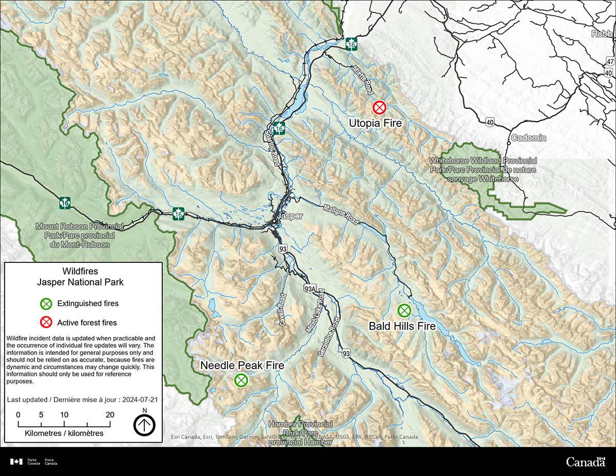
| Time | Notes |
|---|---|
| July 22, 2024: 3:00 pm | On Sunday, fire crews made good progress along the perimeter despite hot temperatures and steep terrain. Utopia wildfire in Jasper National Park remains less than 2 hectares in size with no significant growth since July 19. Fire crews are out on the ground again today working on the Utopia wildfire perimeter, with helicopters transporting water to their remote location. Helicopters fill a portable water reservoir high on the mountain to supply firefighters with water, which gets pumped into fire hoses to directly put out burning vegetation and smoldering duff, soil and roots. |
| July 21, 2024: 12:46 pm | Fire crews are working to establish a perimeter around the wildfire. Today, helicopters will water bucket the area and support two ground crews with direct firefighting on the perimeter. Crews have cleared a helicopter landing spot and set up a portable water tank for direct suppression. They are also removing danger trees and clearing access points today. Utopia wildfire remains estimated at less than 2 hectares in size, with no significant fire growth or spread since the initial response on July 19. |
| July 20, 2024: 1:05 pm | Status: Out of control. The Utopia wildfire estimated size is 2 hectares. Jasper National Park monitored the Utopia wildfire throughout the night with satellite infrared imaging. On Saturday, ground crews will be able to support firefighting efforts in steep terrain with continued bucketing. Structural protection is in progress on facilities at the Hot Springs and Miette Bungalows. This area is under a proactive evacuation alert. Miette Hot Springs Road is only open to guests and staff of Miette Bungalows, Miette Campground, and Miette Mountain Cabins. |
| July 19, 2024: 10:25 pm | Utopia wildfire was reported Thursday evening, July 18, high above Utopia Pass and about 2 km from Miette Hot Springs. This lightning-caused wildfire is about 2 hectares in size, burning near treeline on steep slopes. Parks Canada is using helicopter bucketing to contain this wildfire. |
Photos
We know that Jasperites, Canadians and people who love Jasper from around the world are looking for images of all infrastructure in Jasper National Park; the places where they live, visit and where they care deeply about.
Photographs are captured by a Parks Canada photographer who is trained and equipped to be on scene during a wildfire.
Remaining infrastructure
Remaining infrastructure – not exhaustive
- August 4:
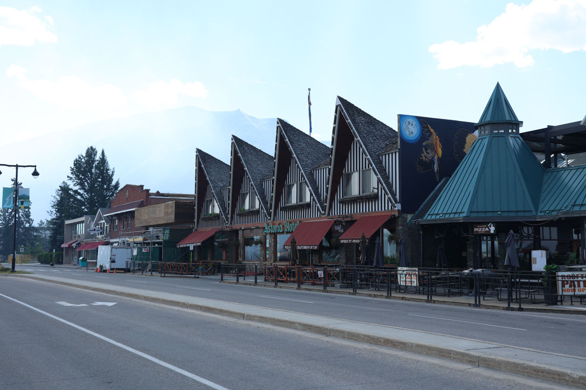
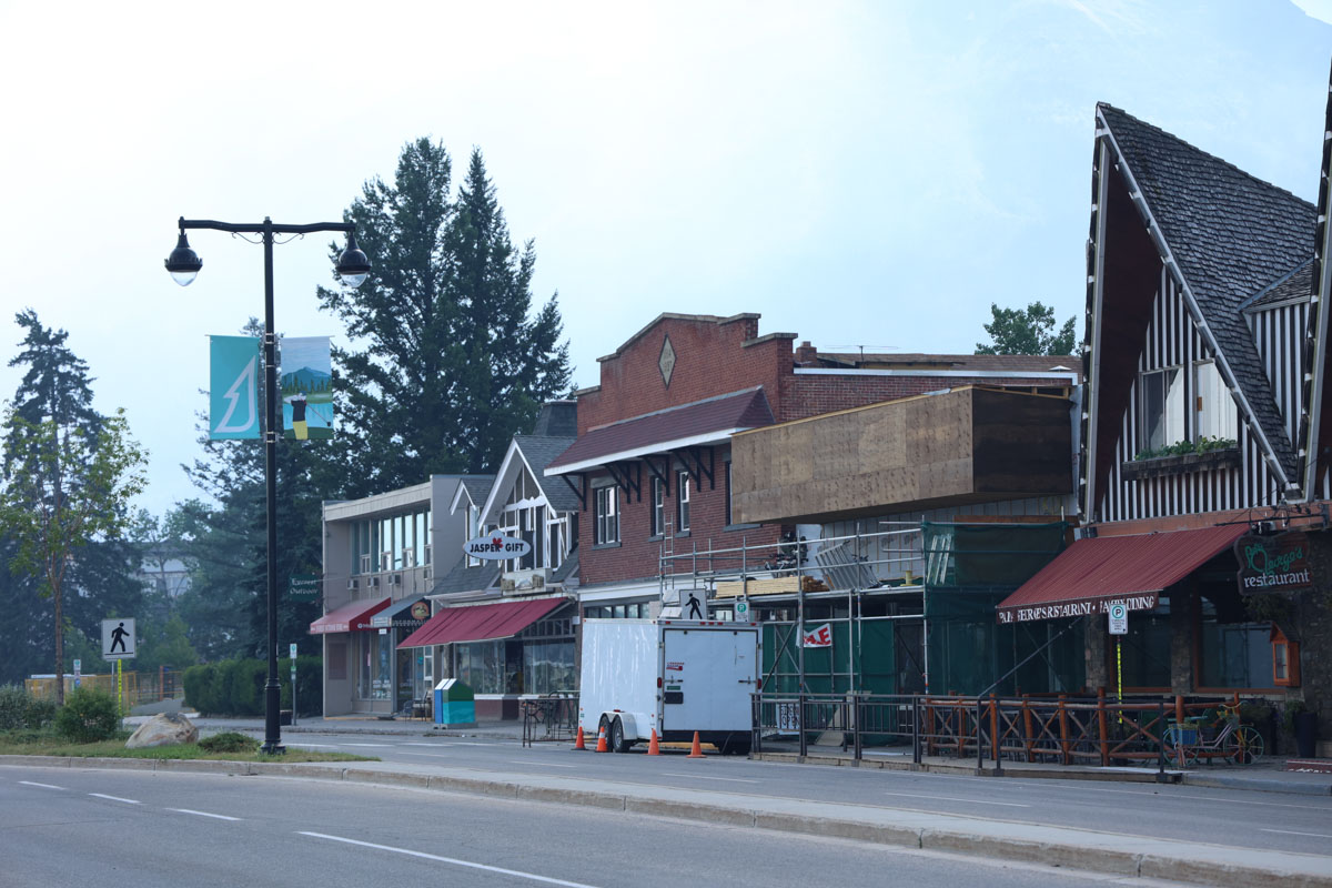
- July 31:
- July 27:
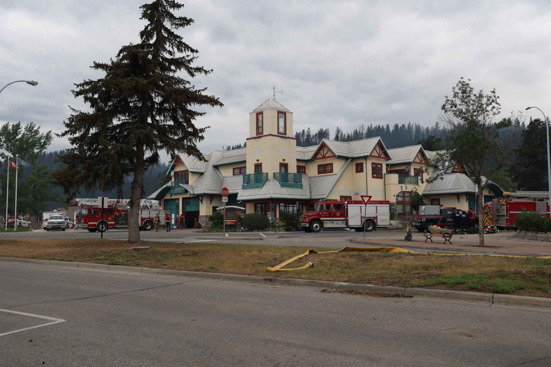
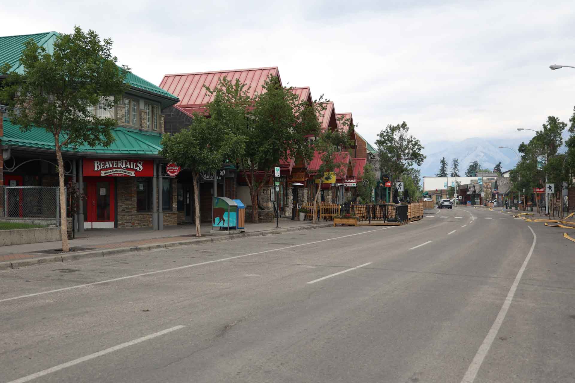
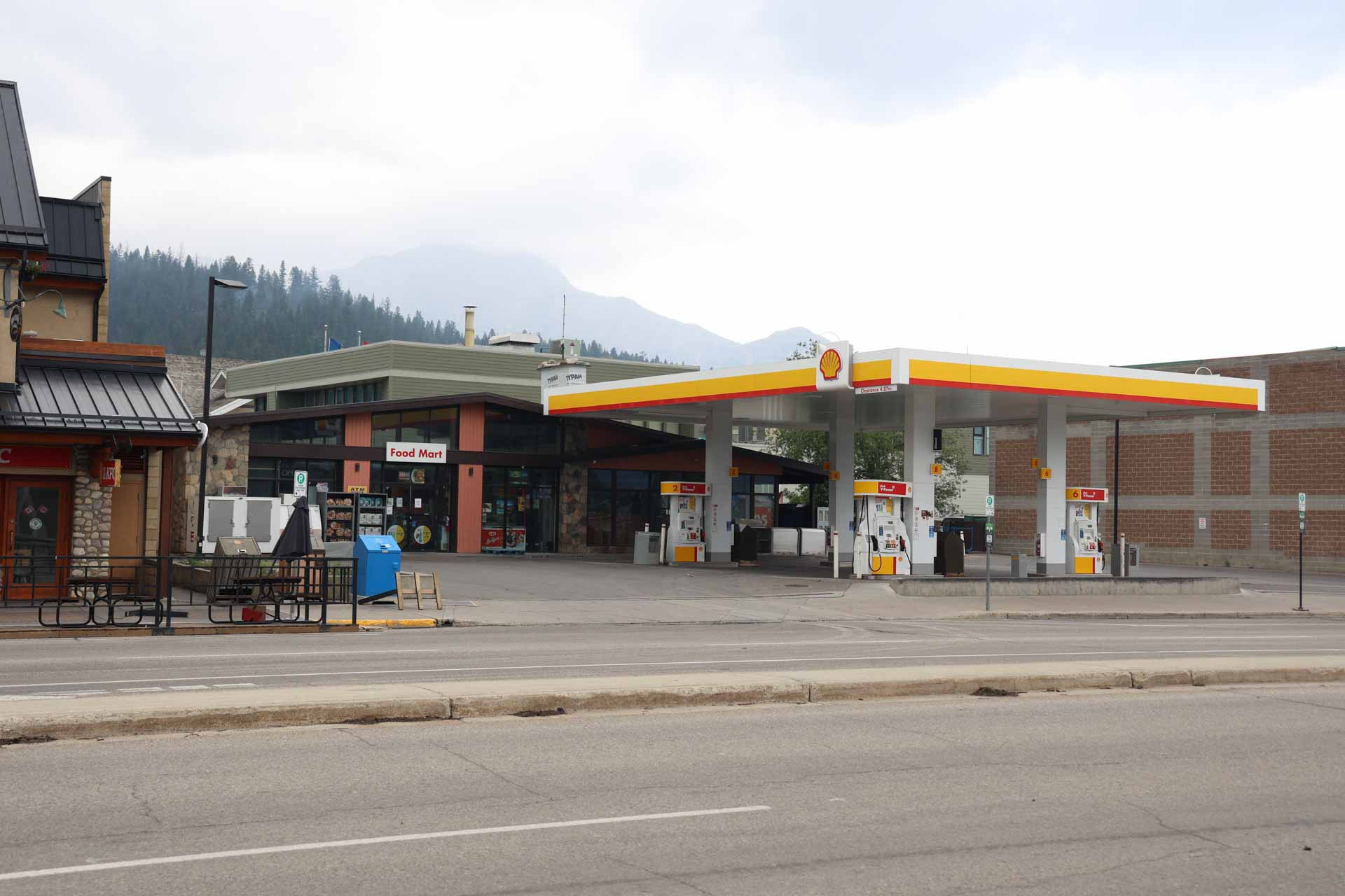
-
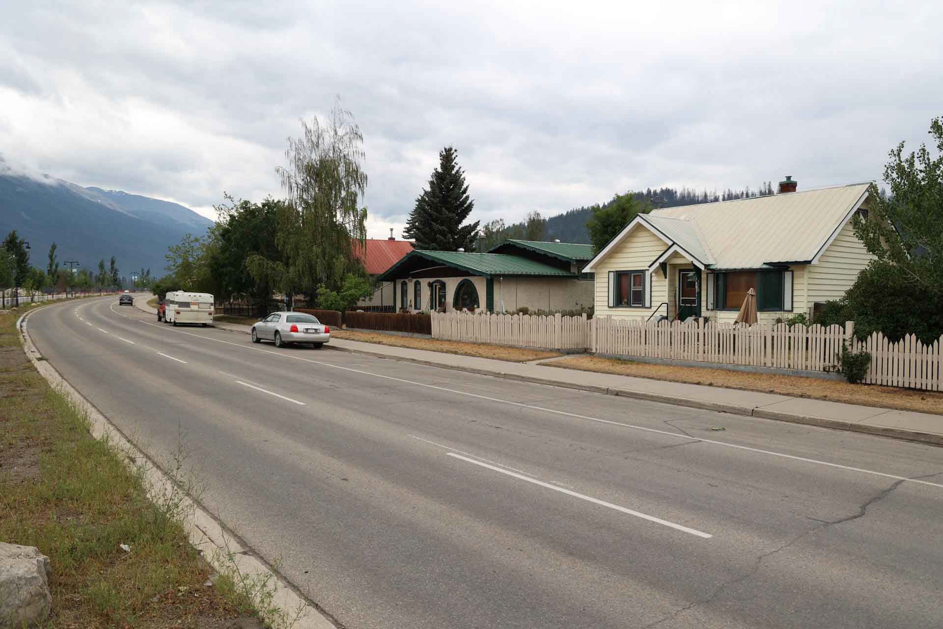
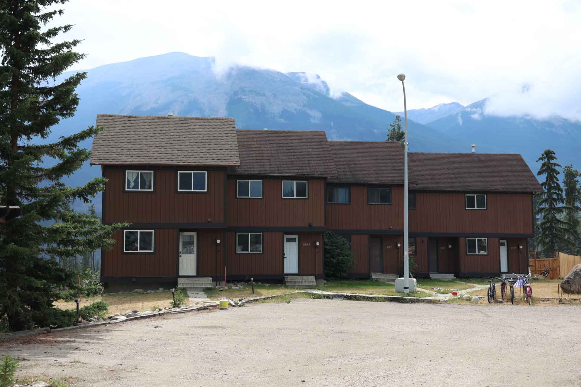

.jpg)
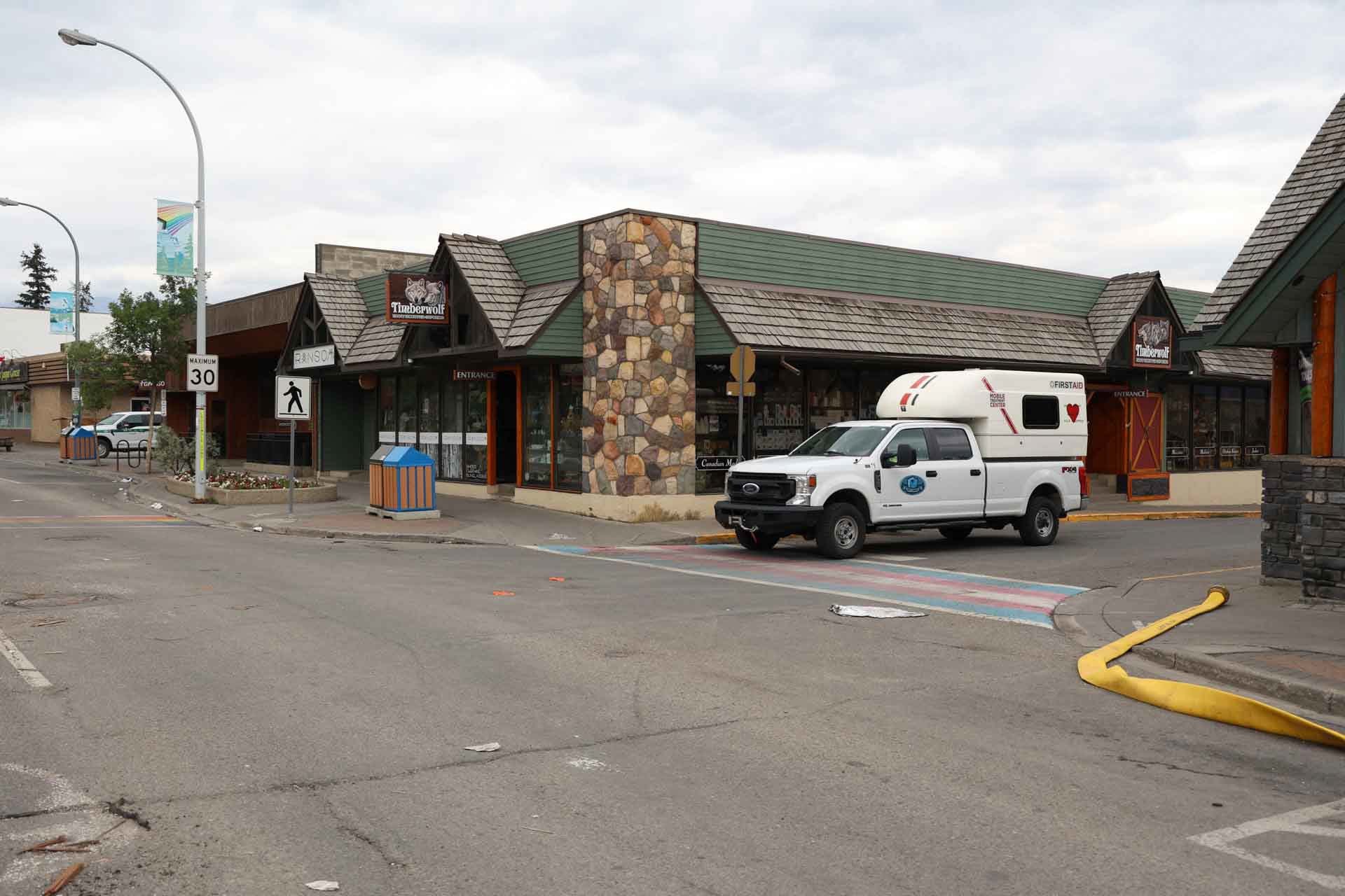
- July 26:
-
-
.jpg)
-
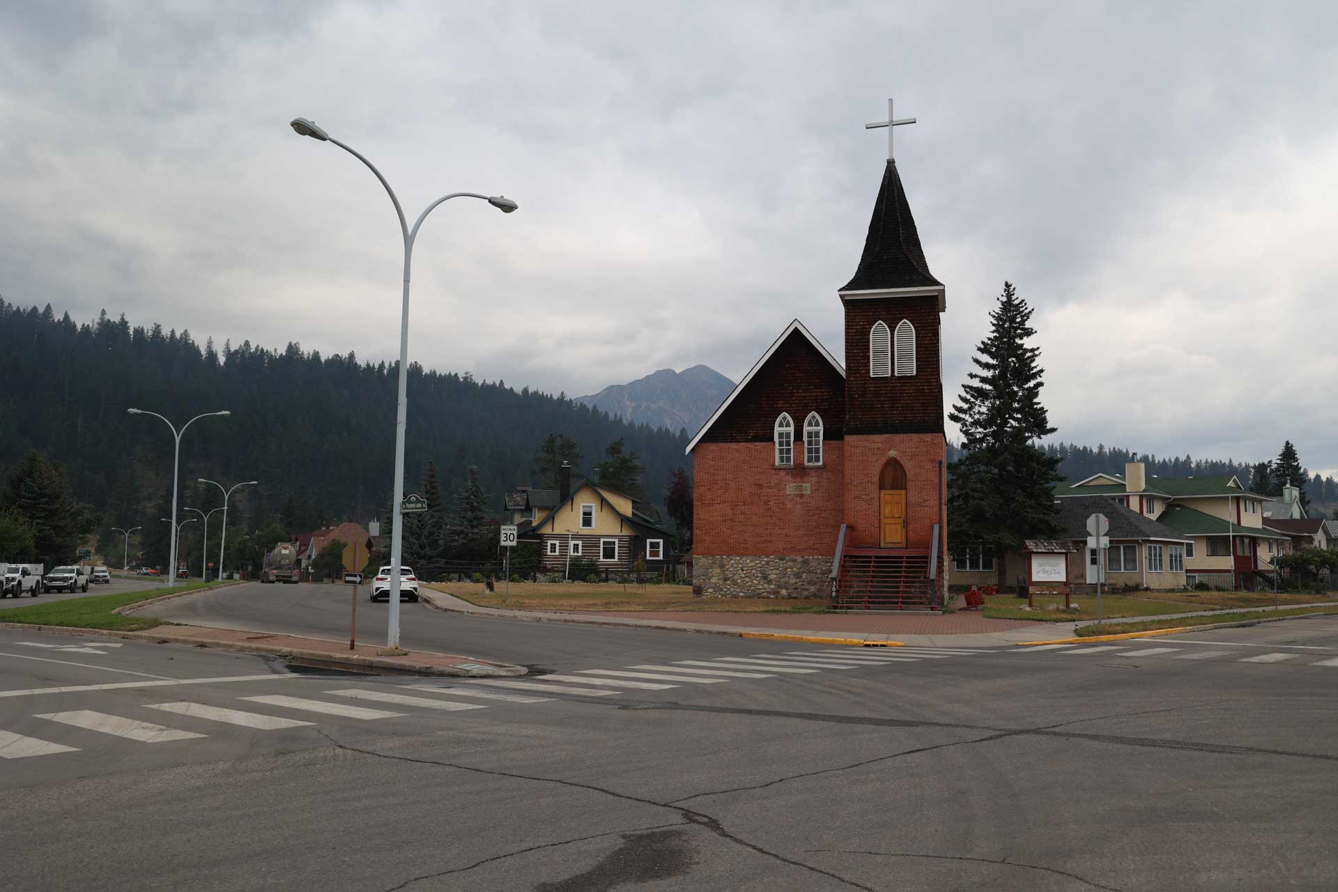
-

-
-
-
.jpg)
-
.jpg)
-
.jpg)
-
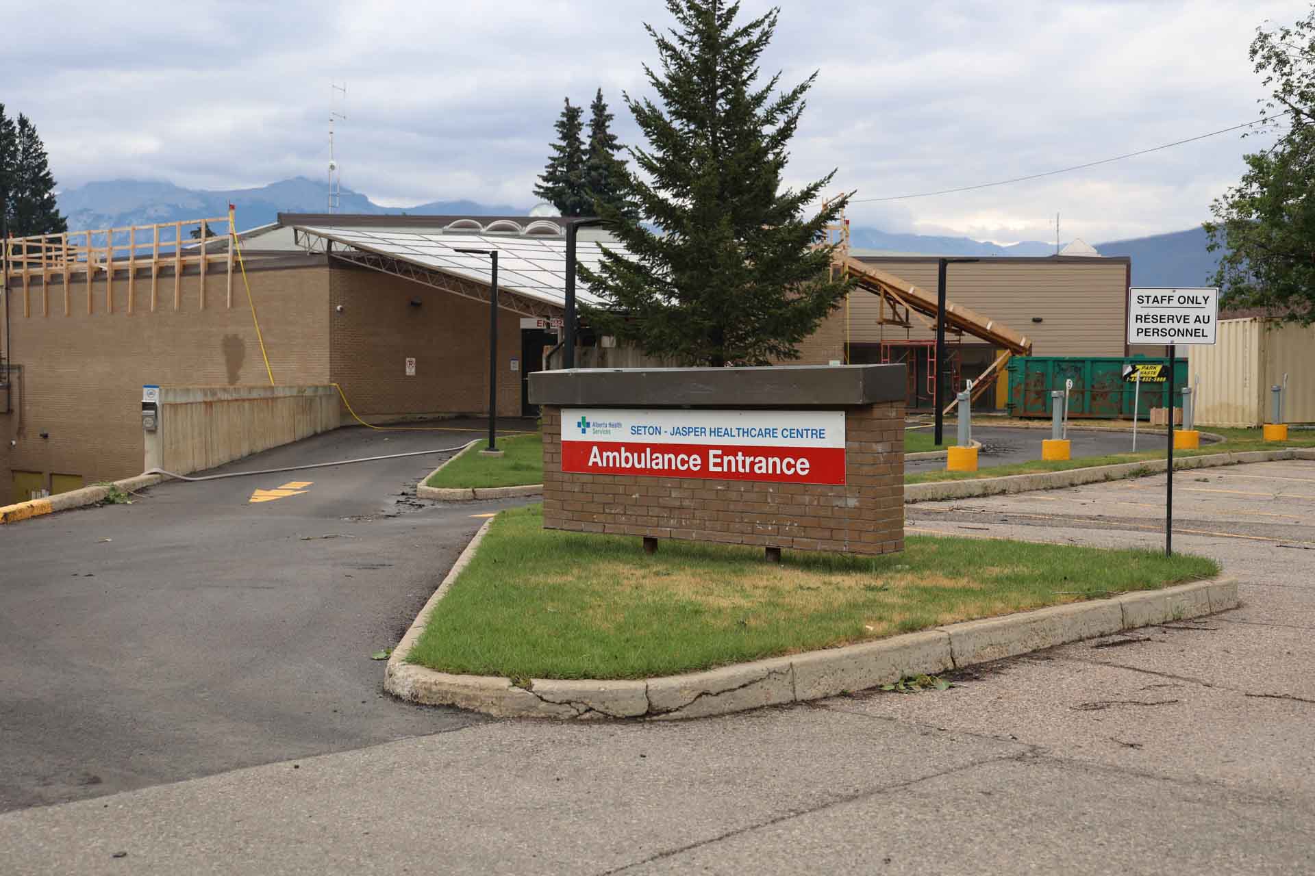
-
-
.jpg)
-
-
-
.jpg)
-
-
.jpg)
-
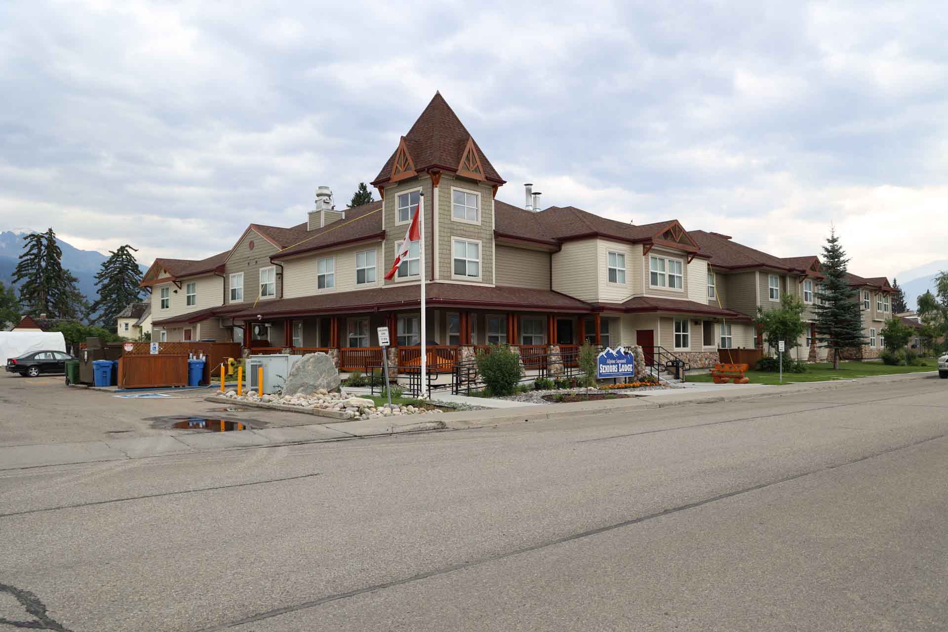
-
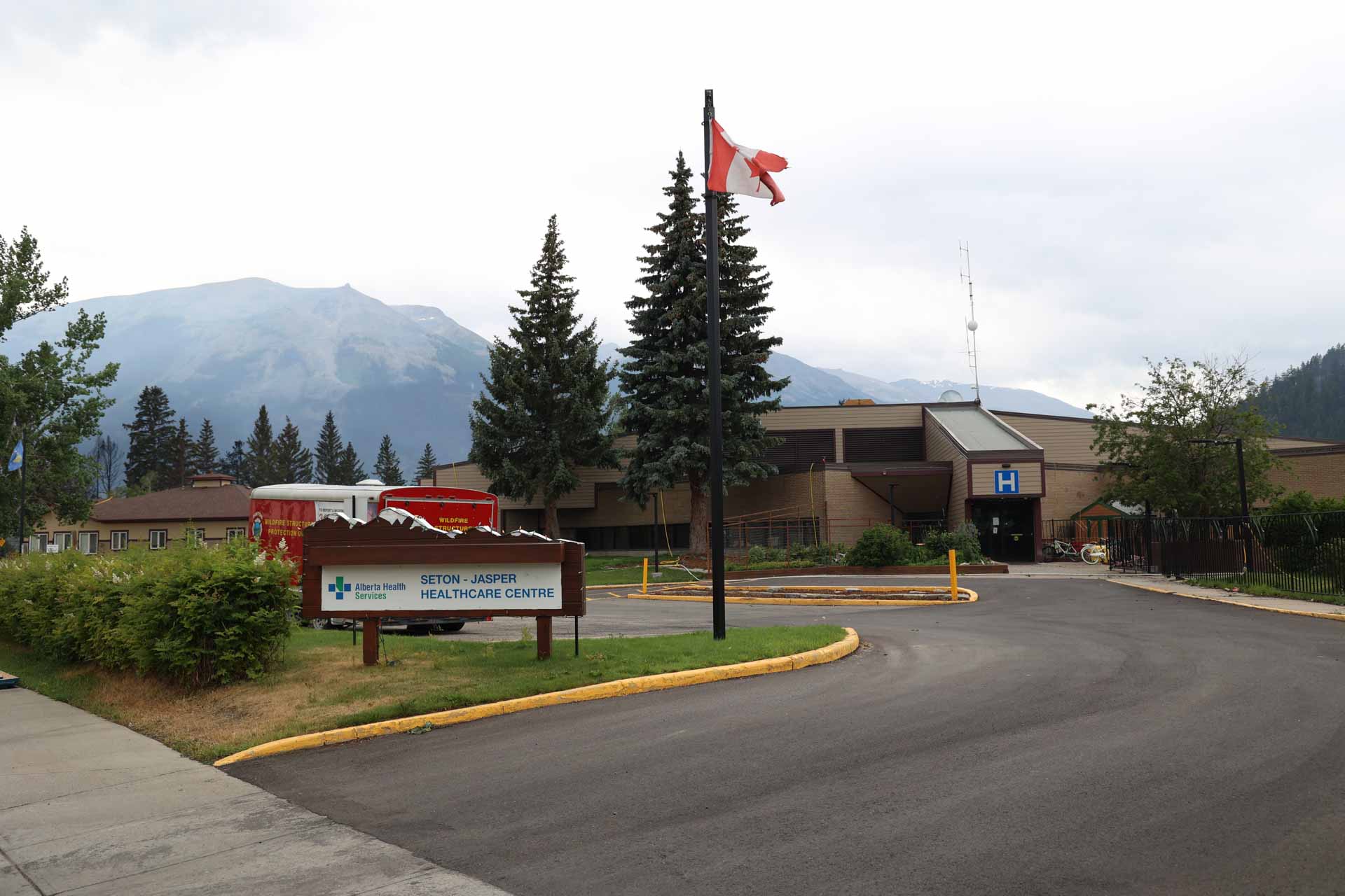
-
-

-
-
.jpg)
-
.jpg)
-
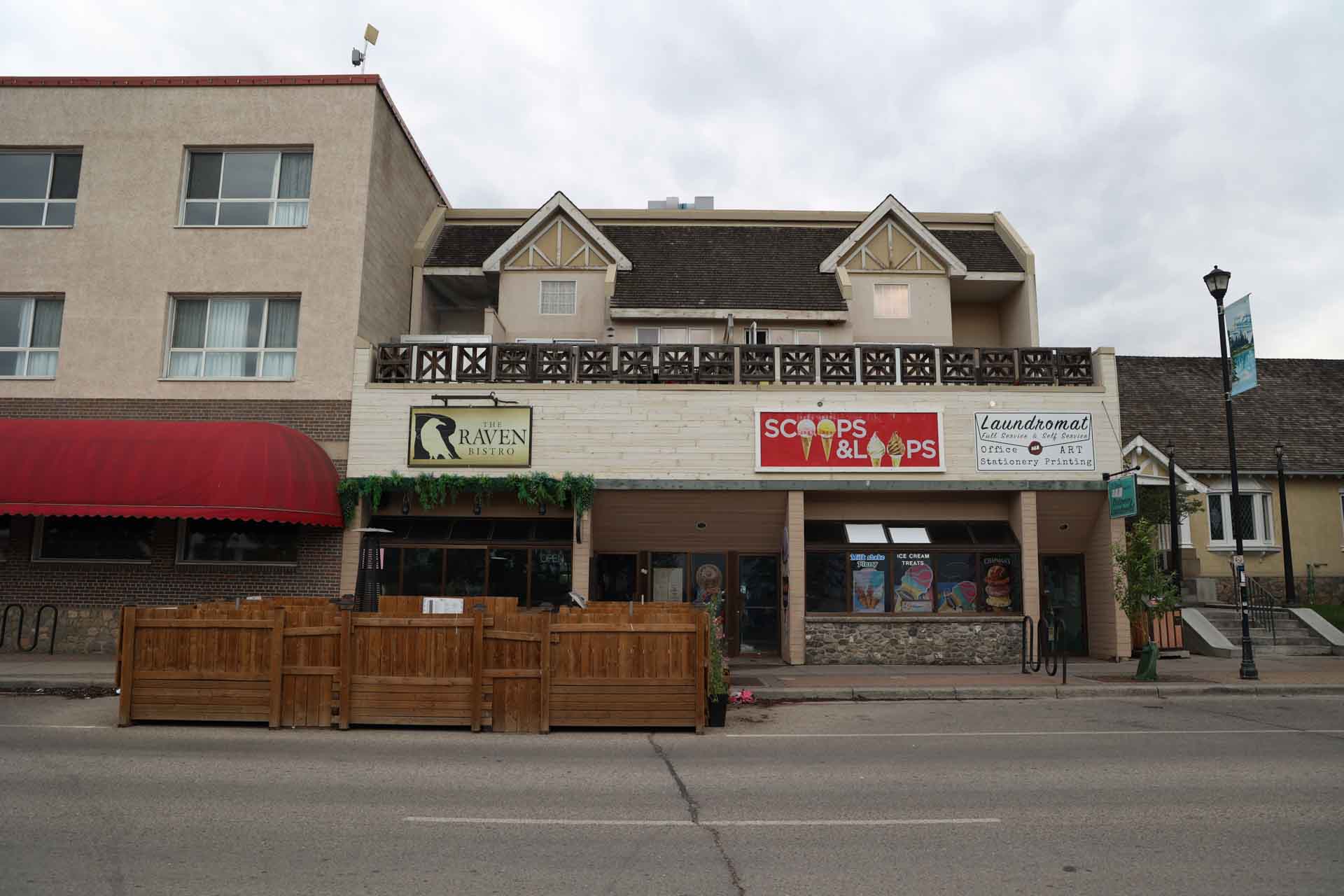
-
-
-
.jpg)
-
-
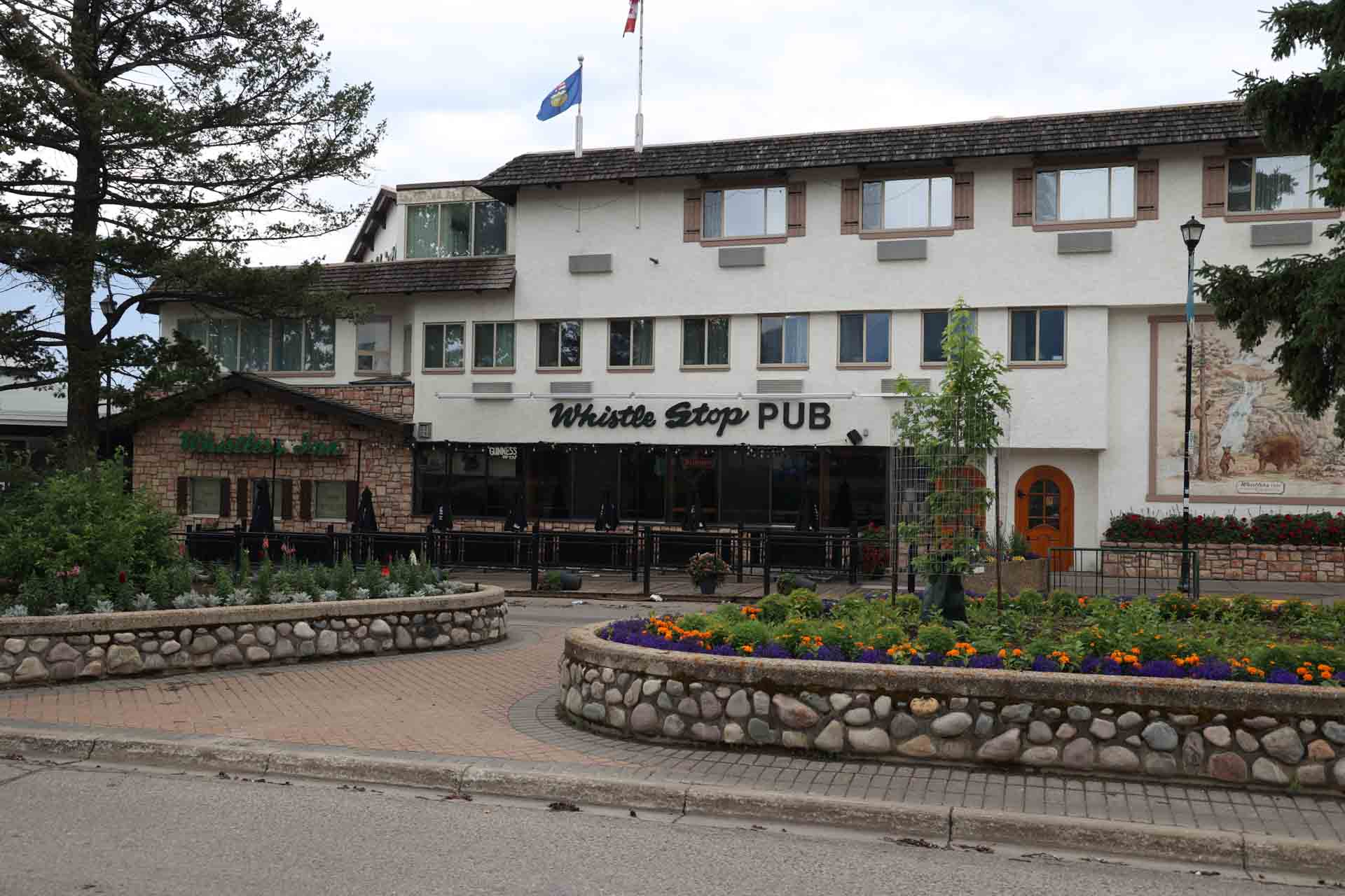
Infrastructure outside of the town
Commercial accommodations and businesses outside of the Jasper town – not exhaustive
- August 4:
- July 28:
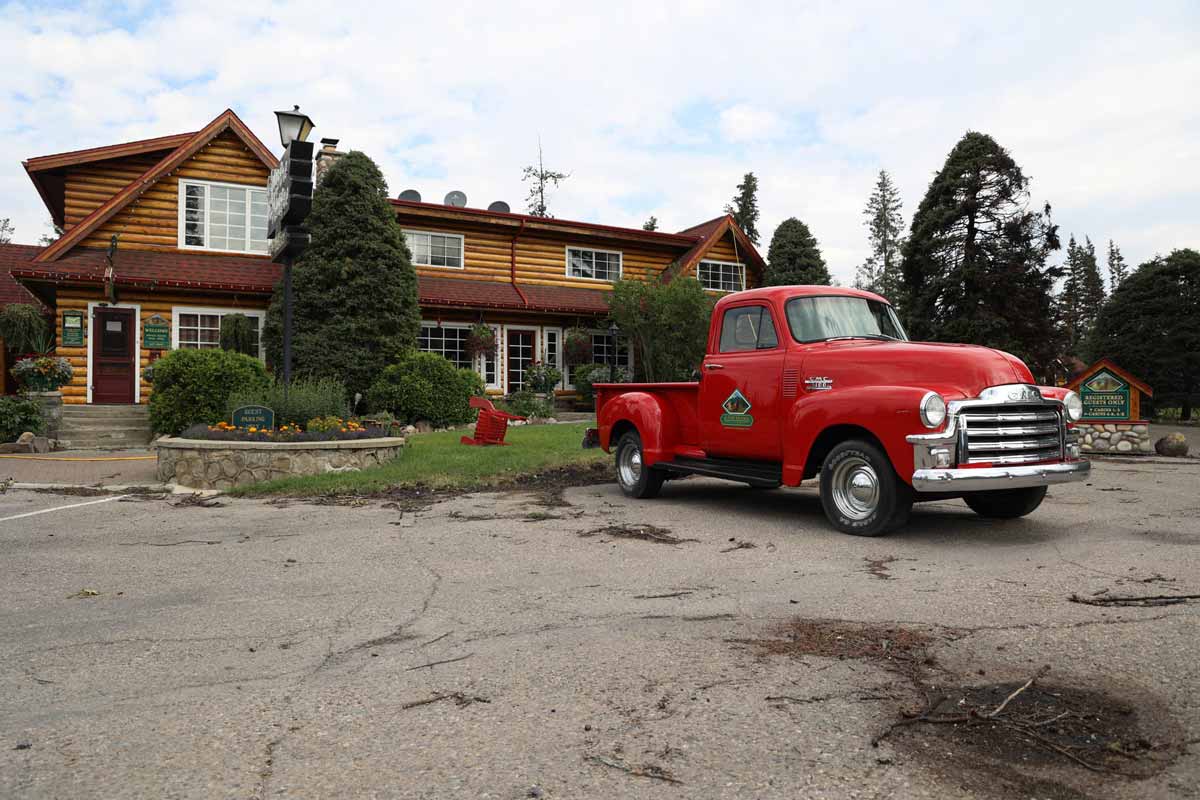
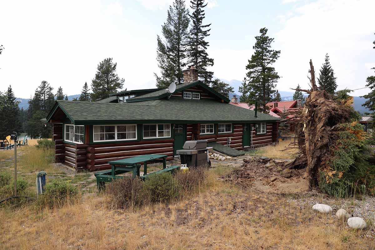
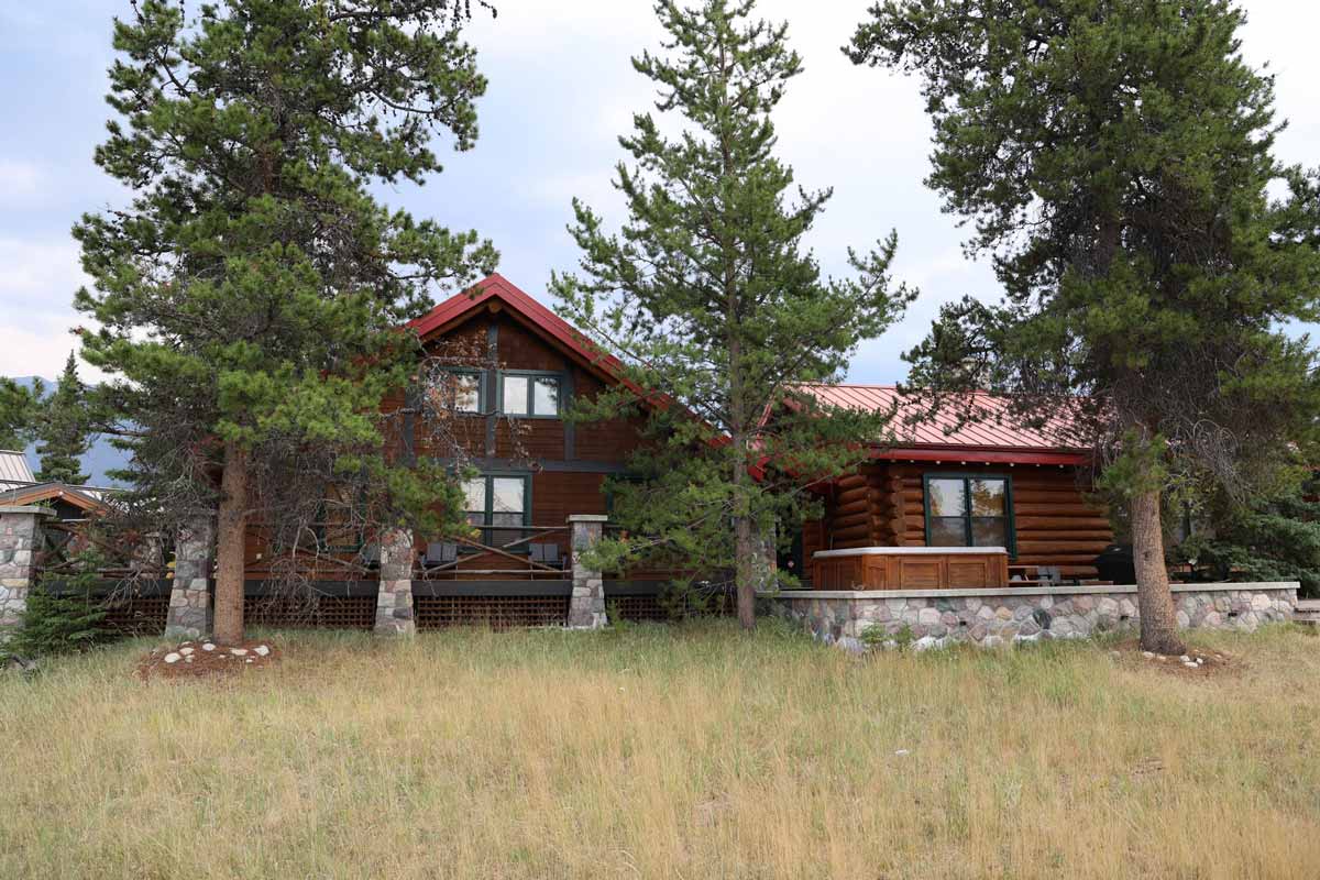
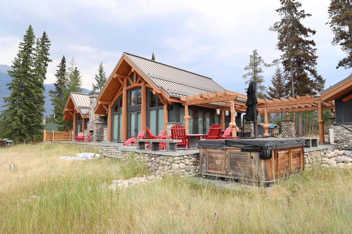
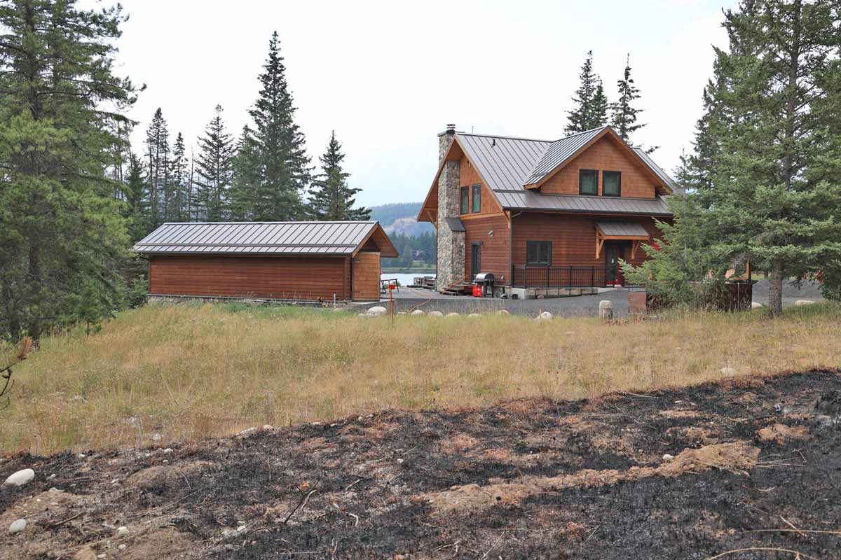
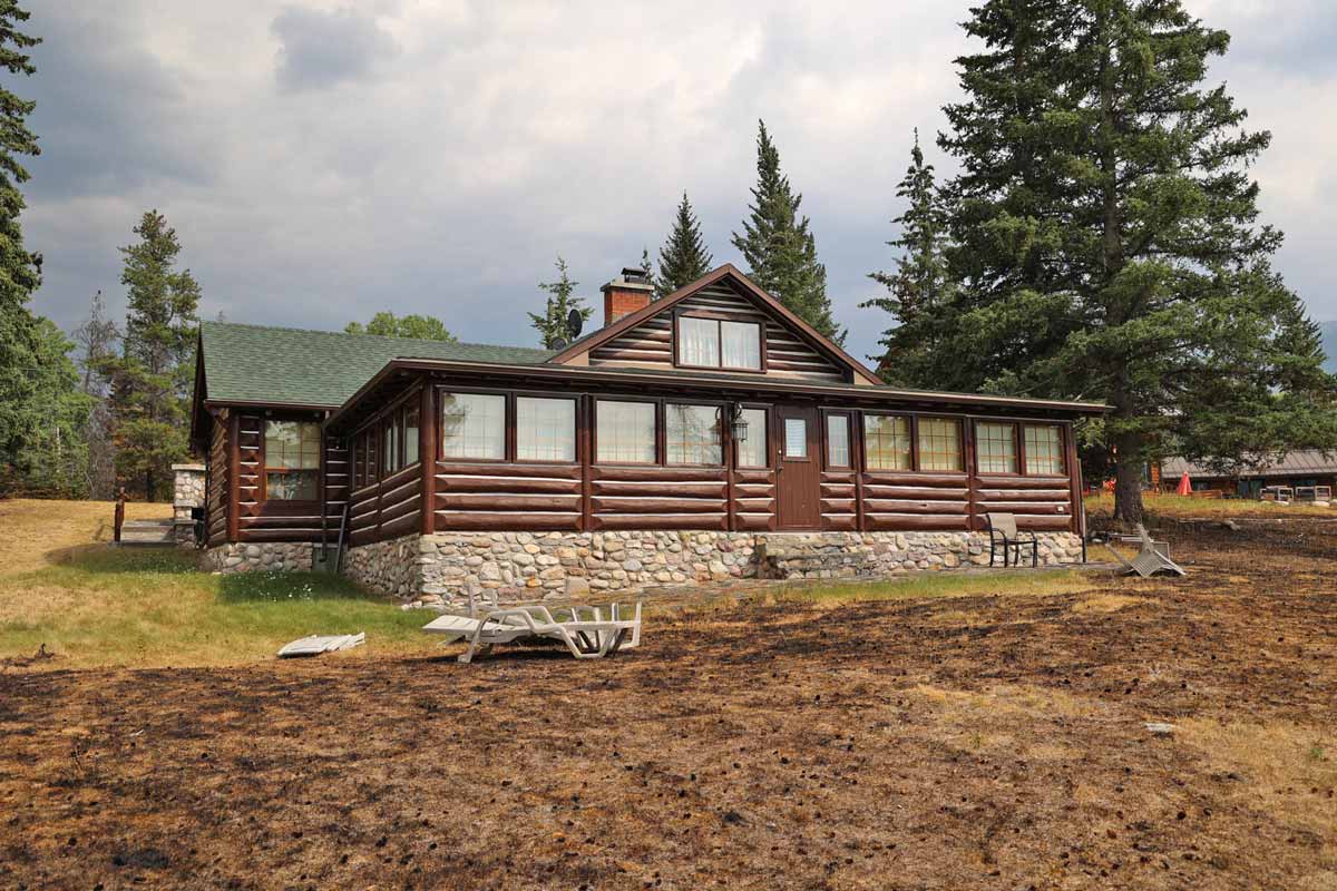
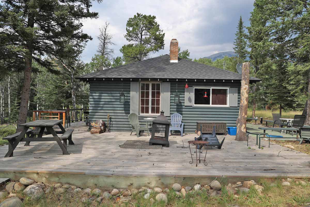
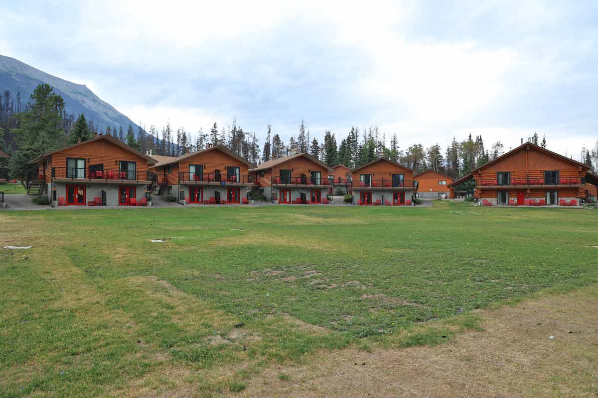
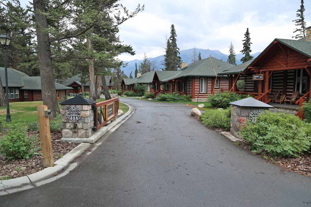
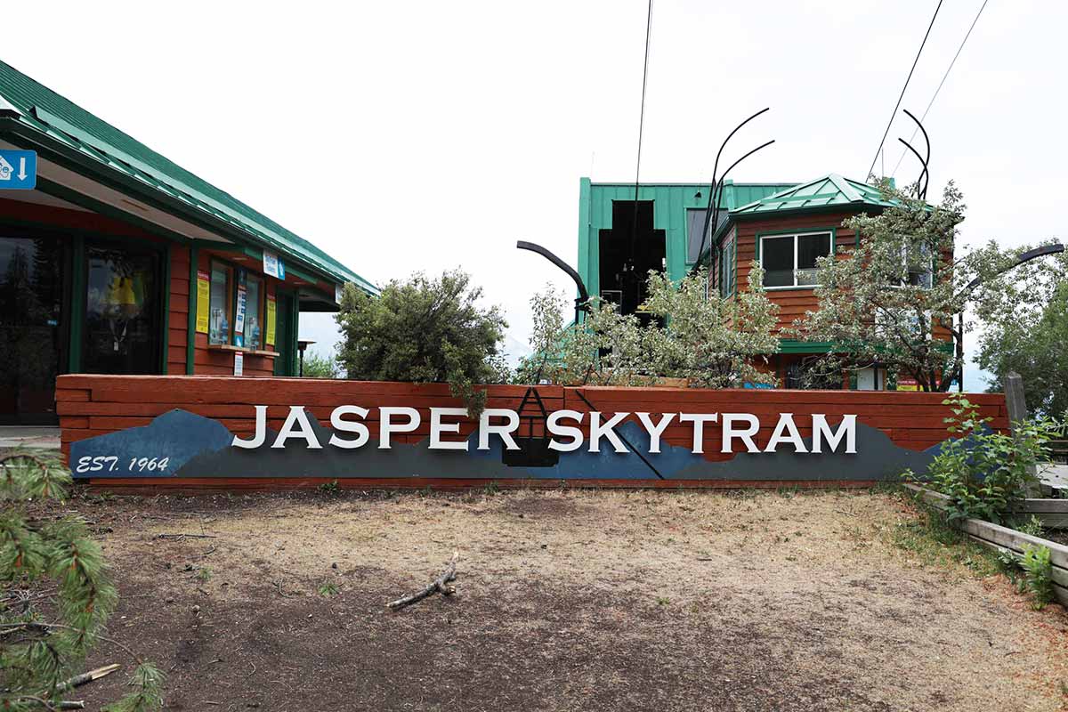
.jpg)
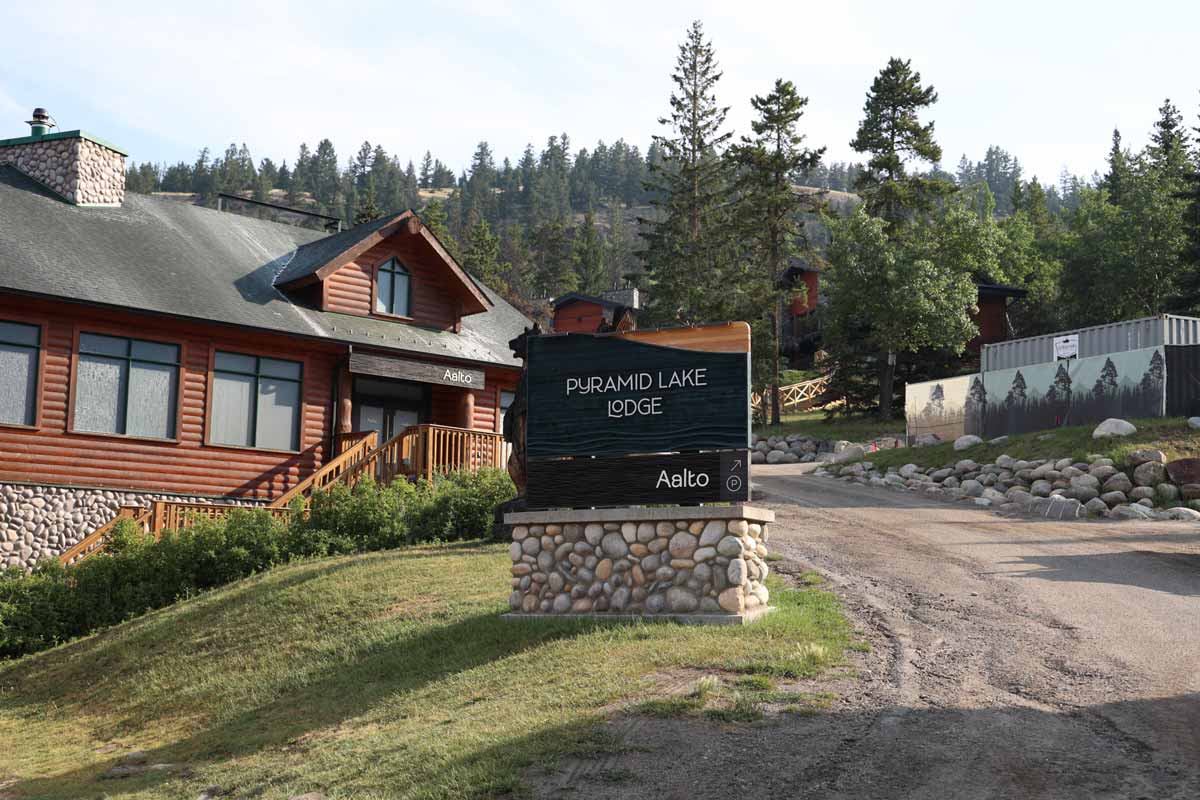
- July 27:
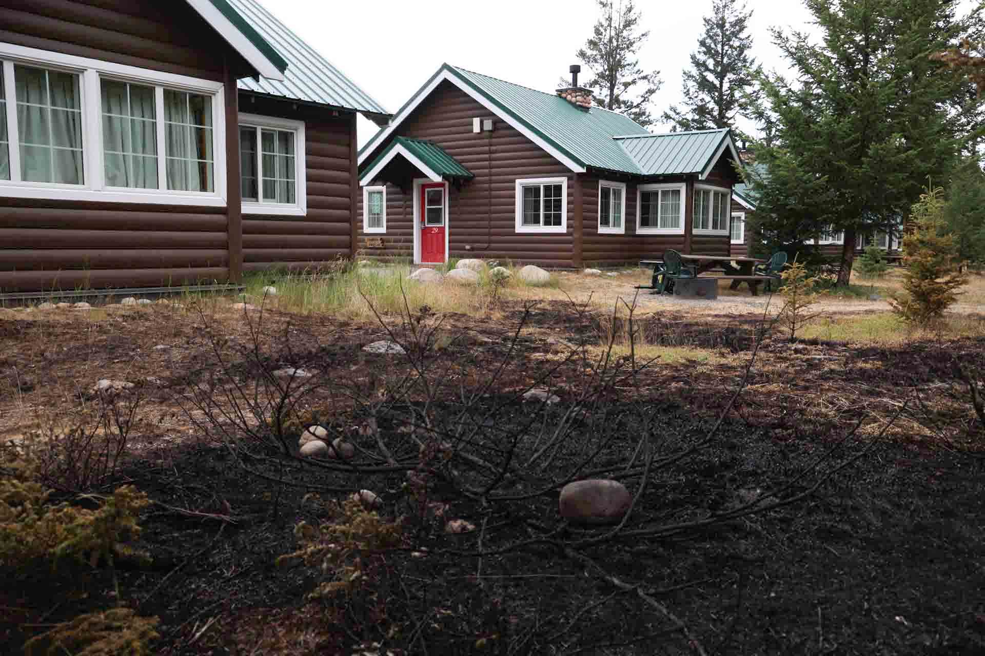
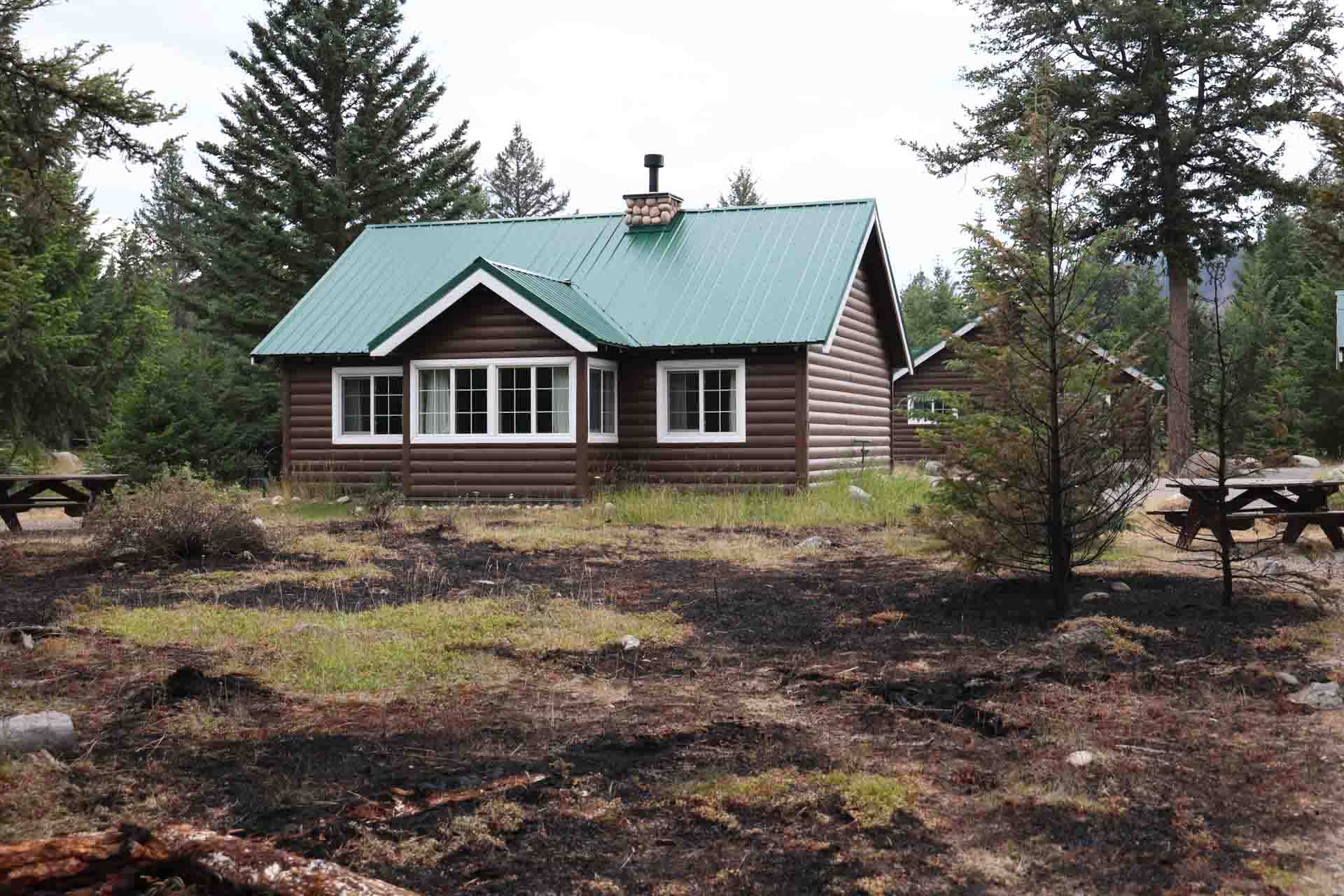
Parks Canada infrastructure
Parks Canada infrastructure – not exhaustive
- August 5:
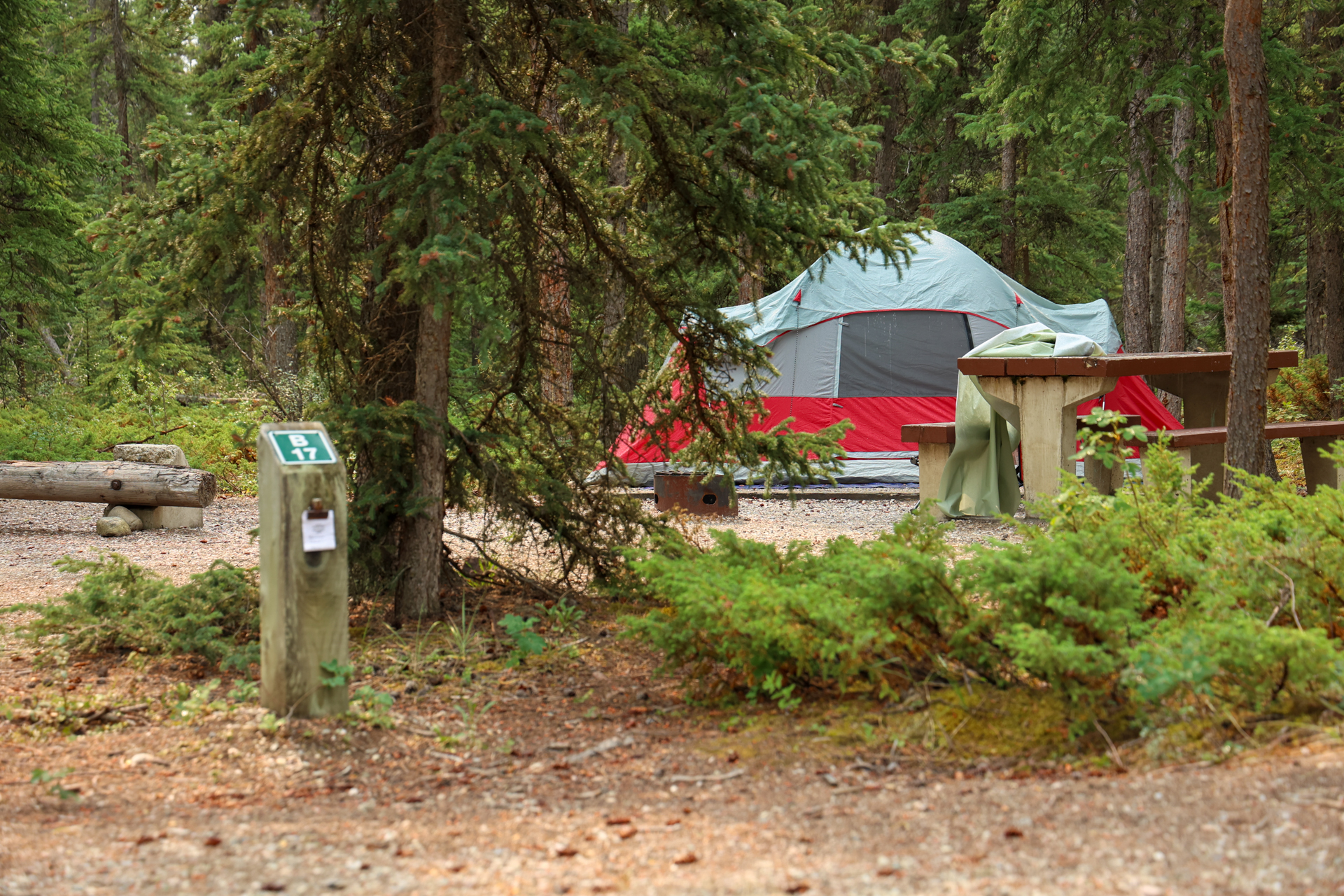
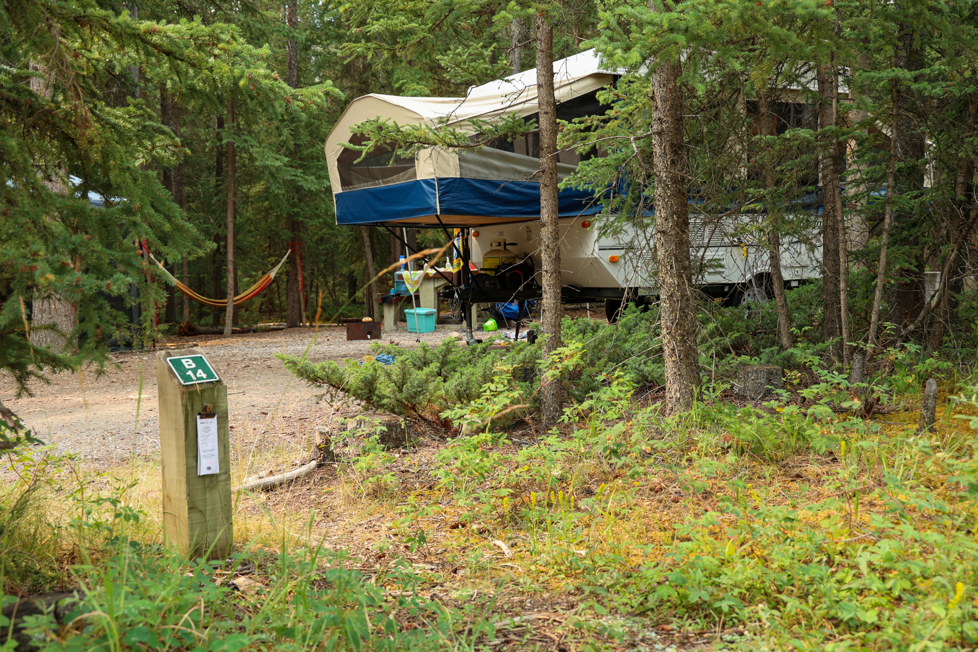
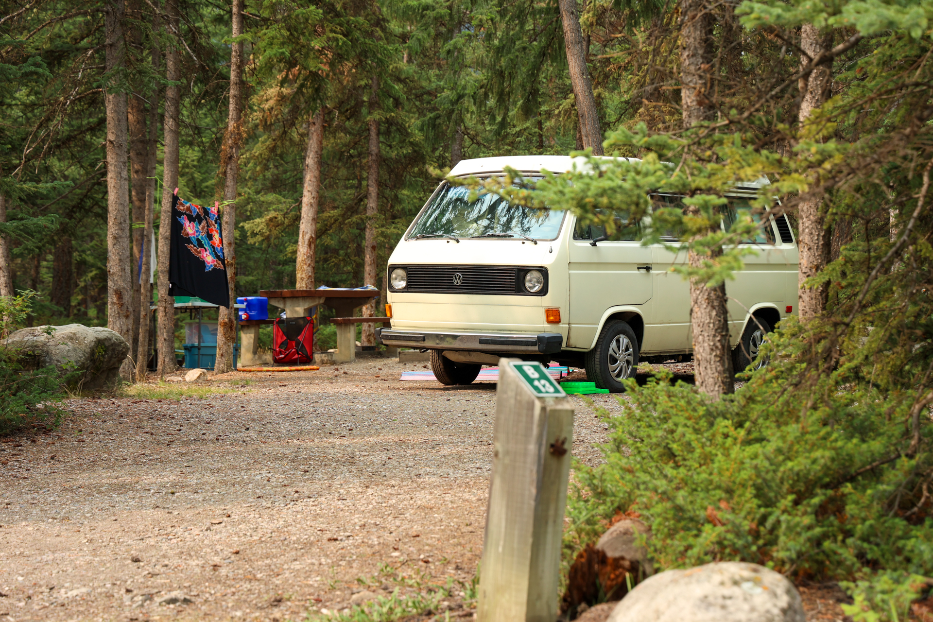
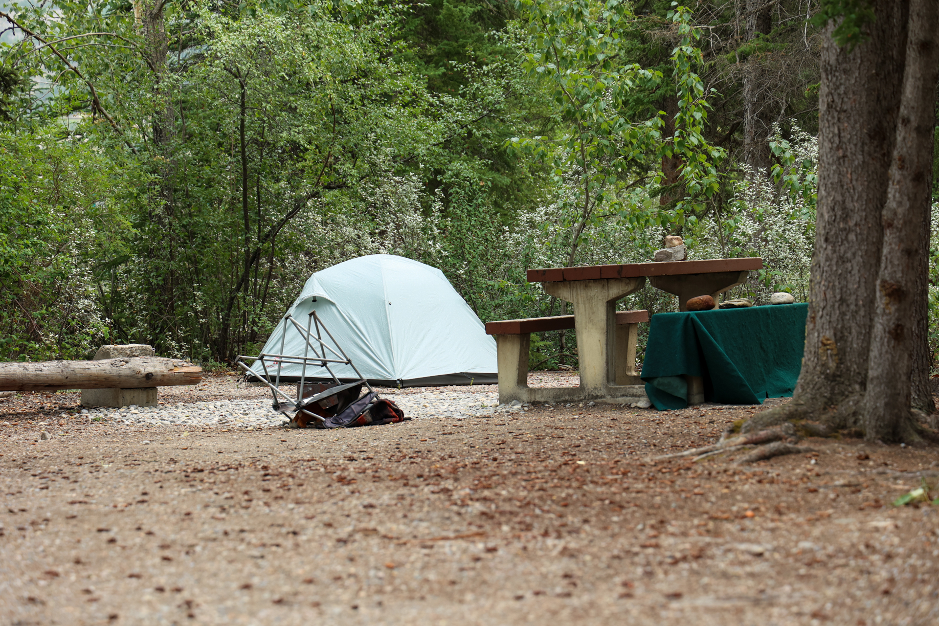
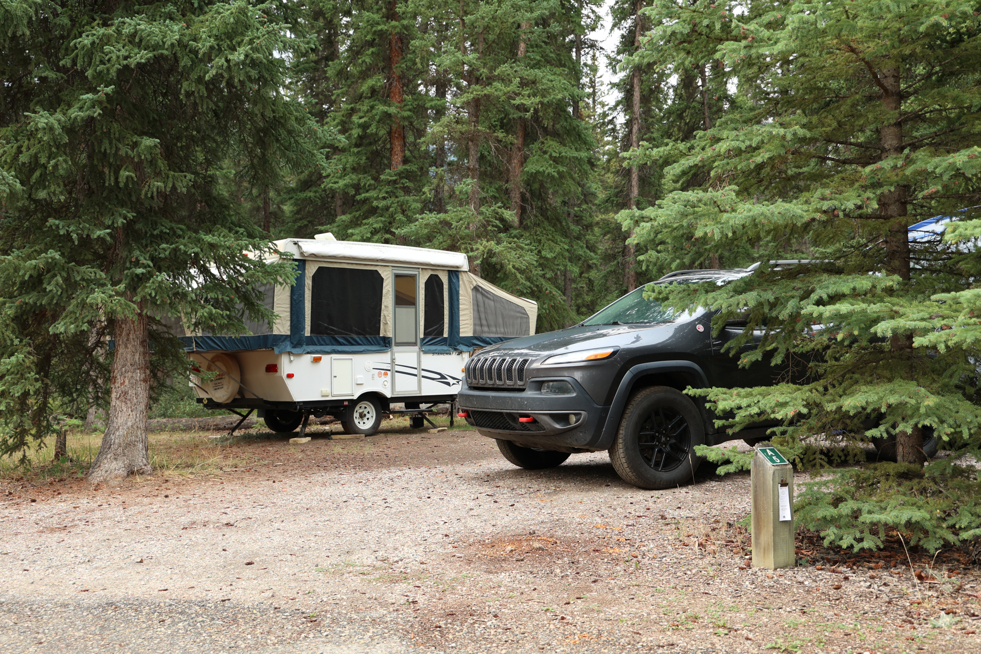
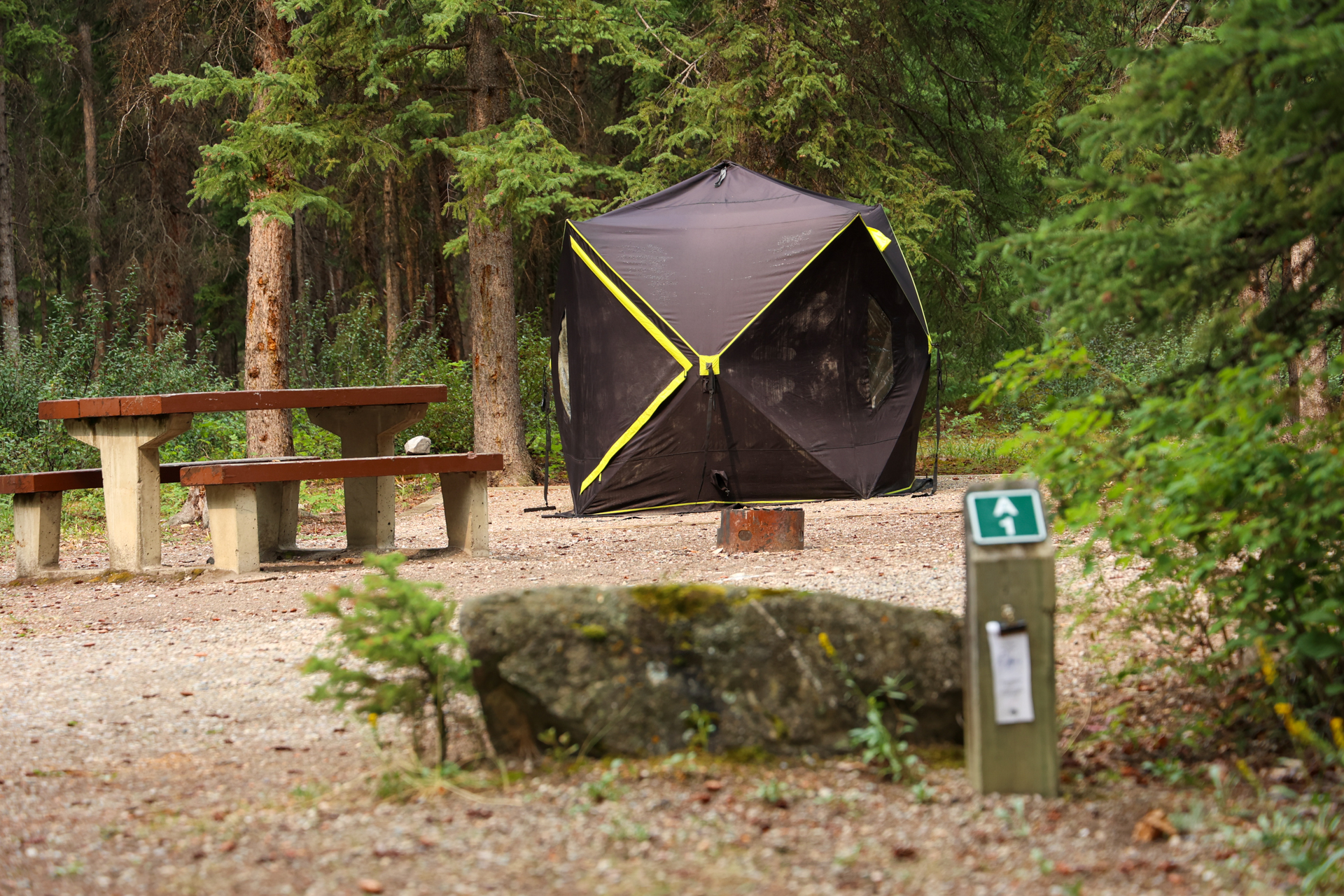
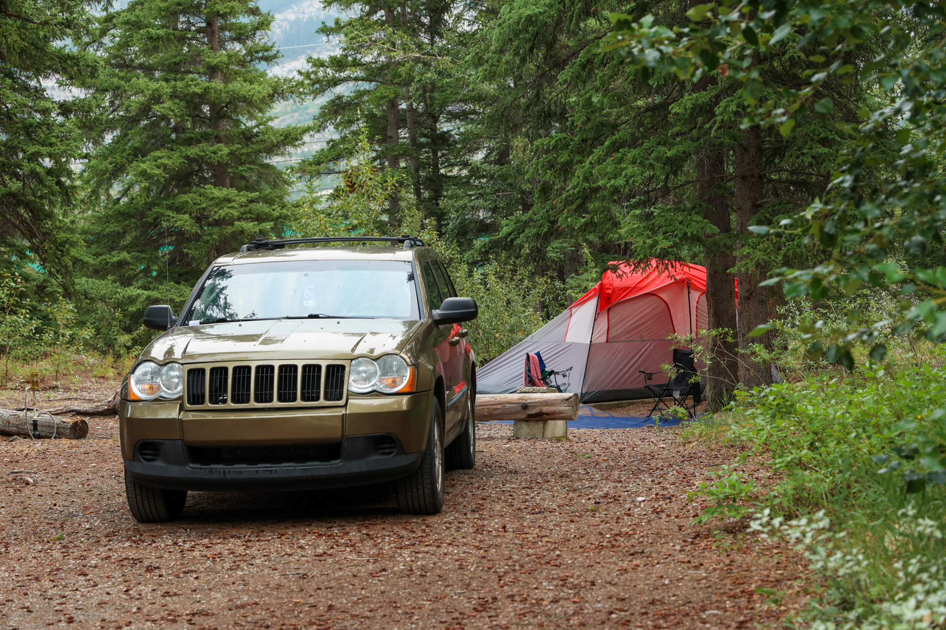
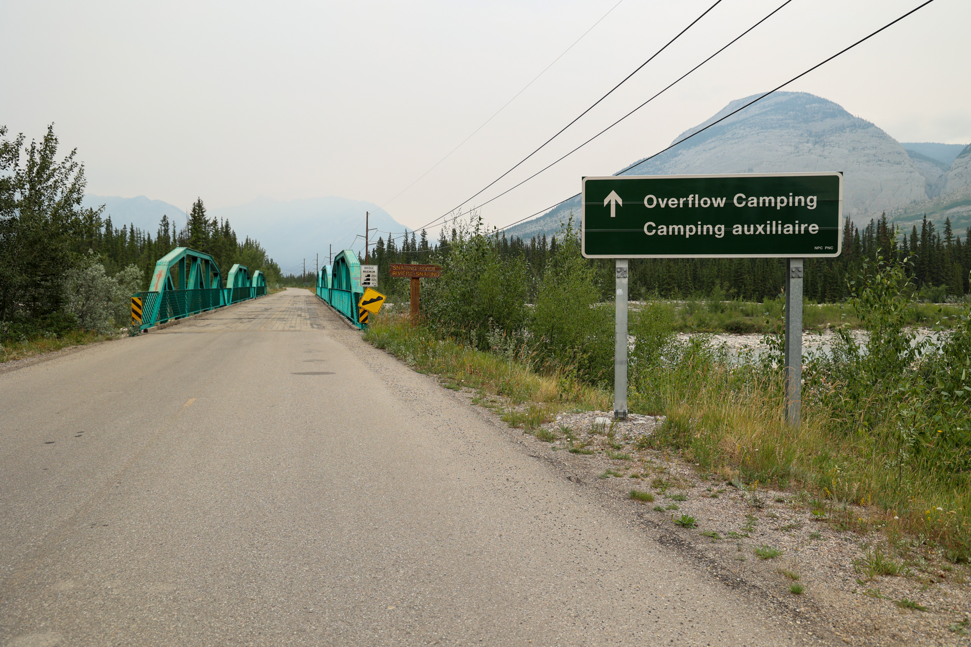
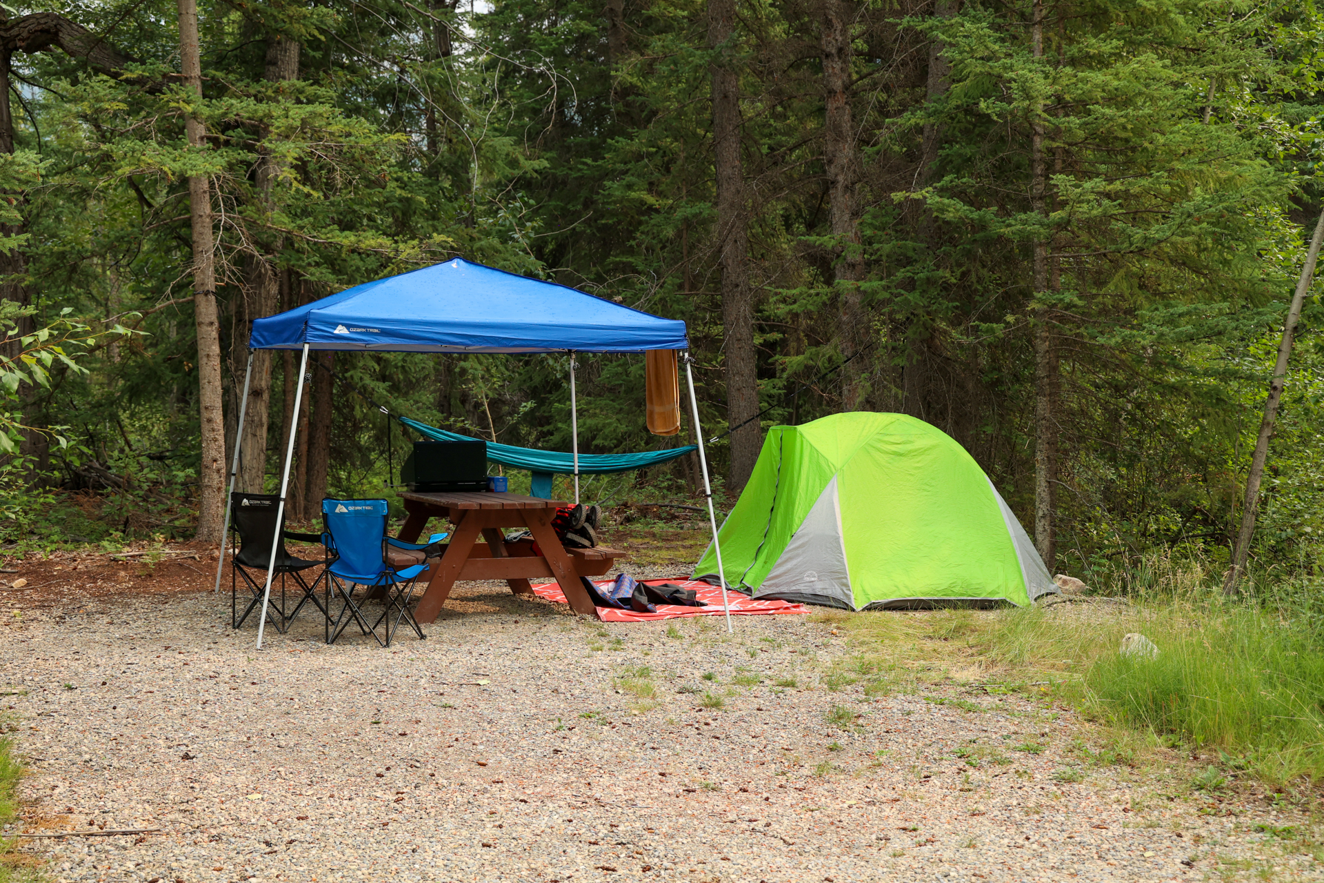
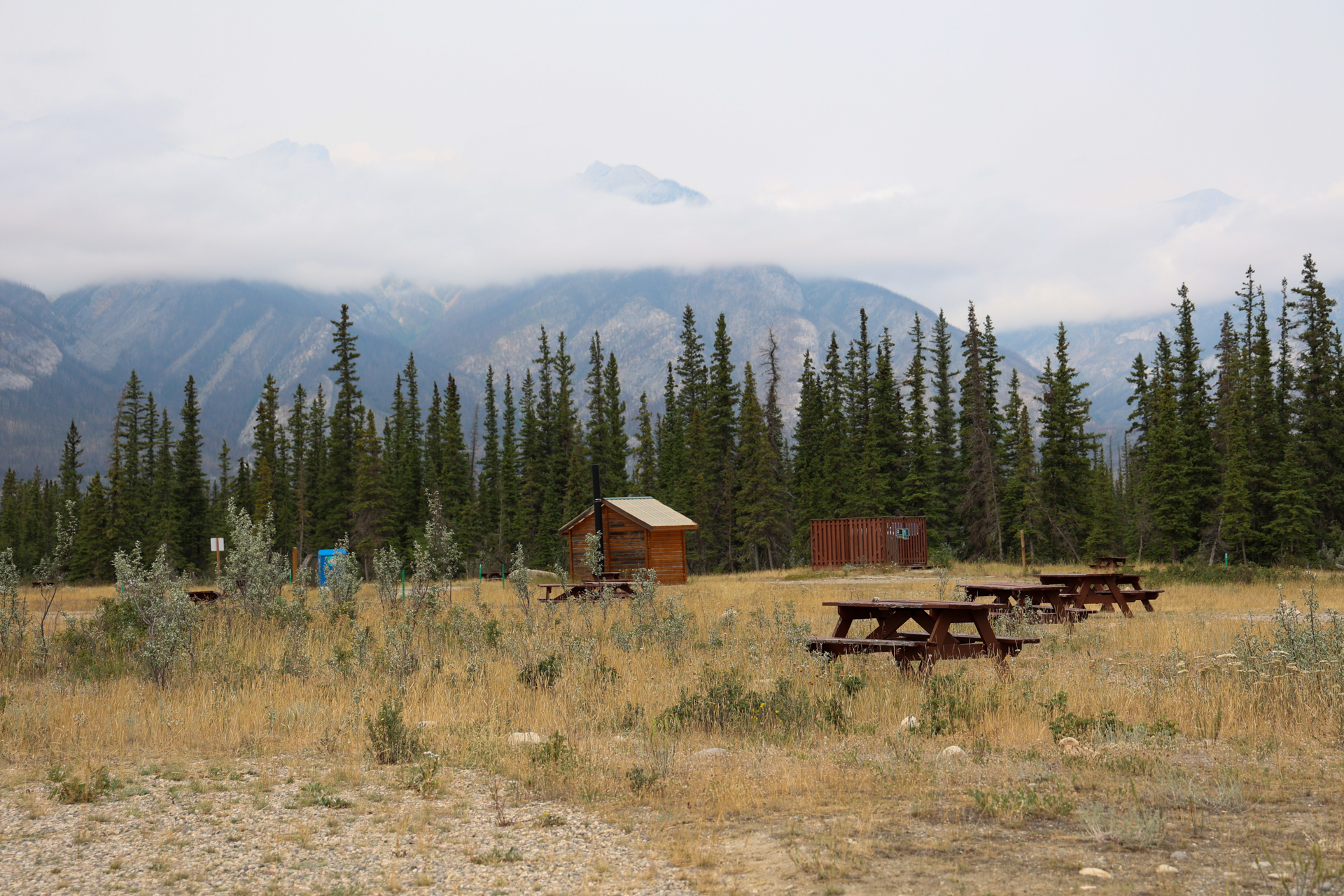
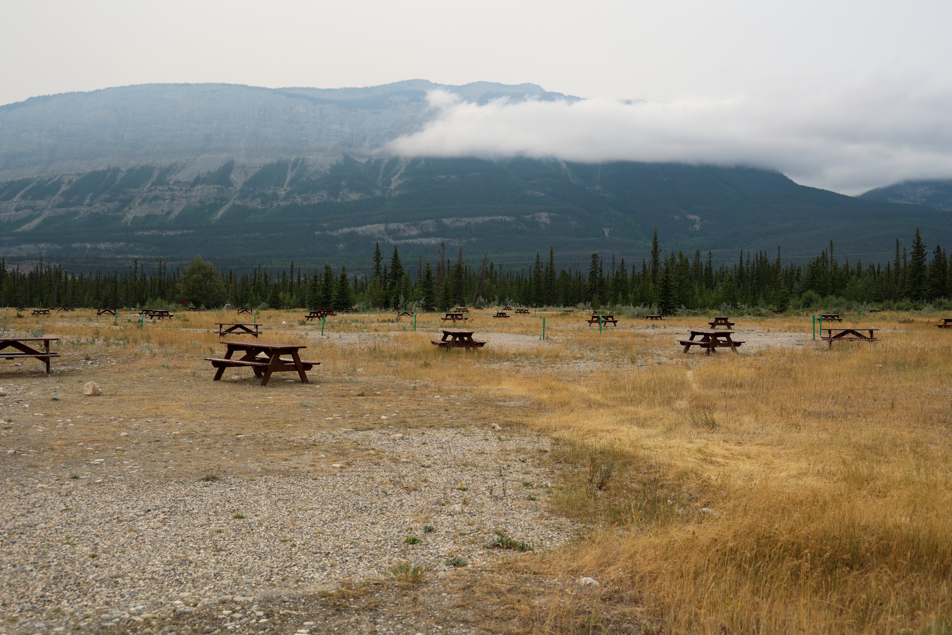
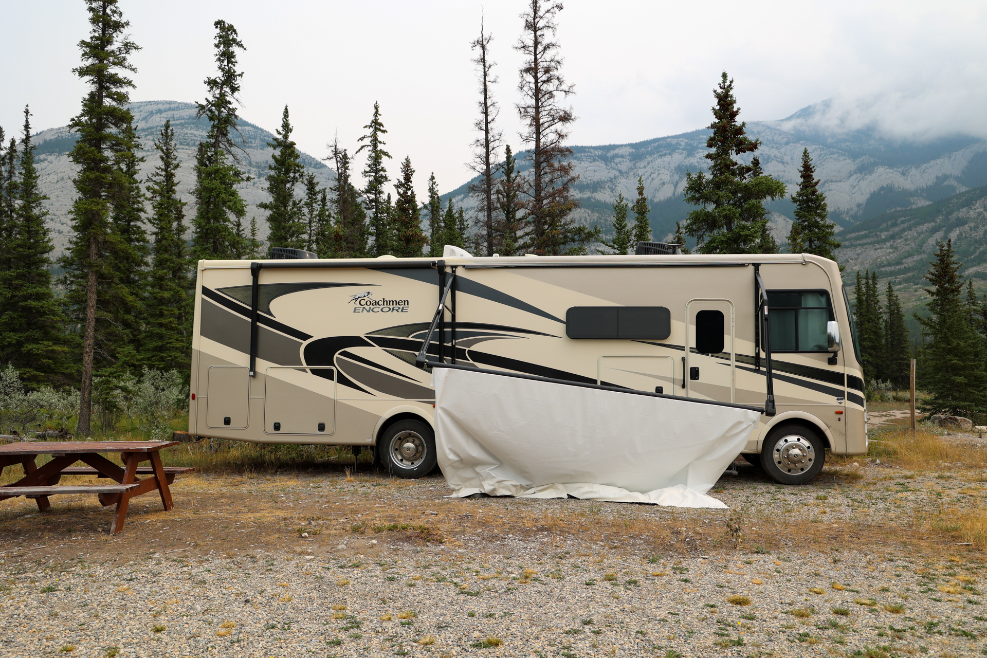
- July 31:
-
-
-
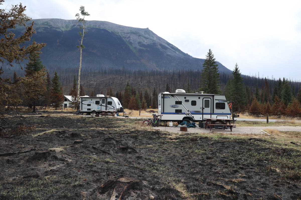
-
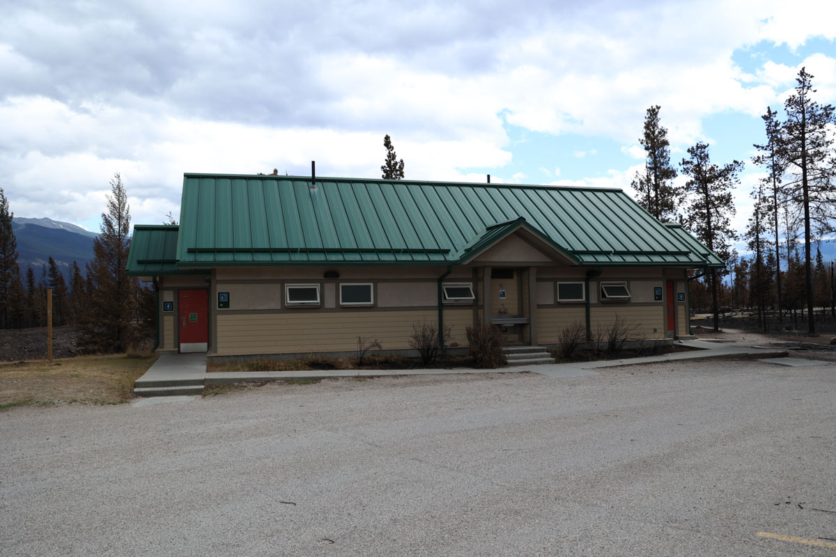
-
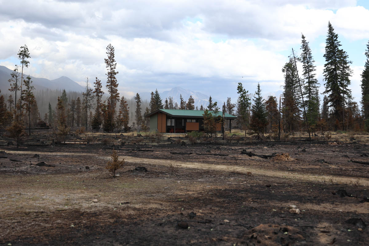
- July 29:
-

- July 27:
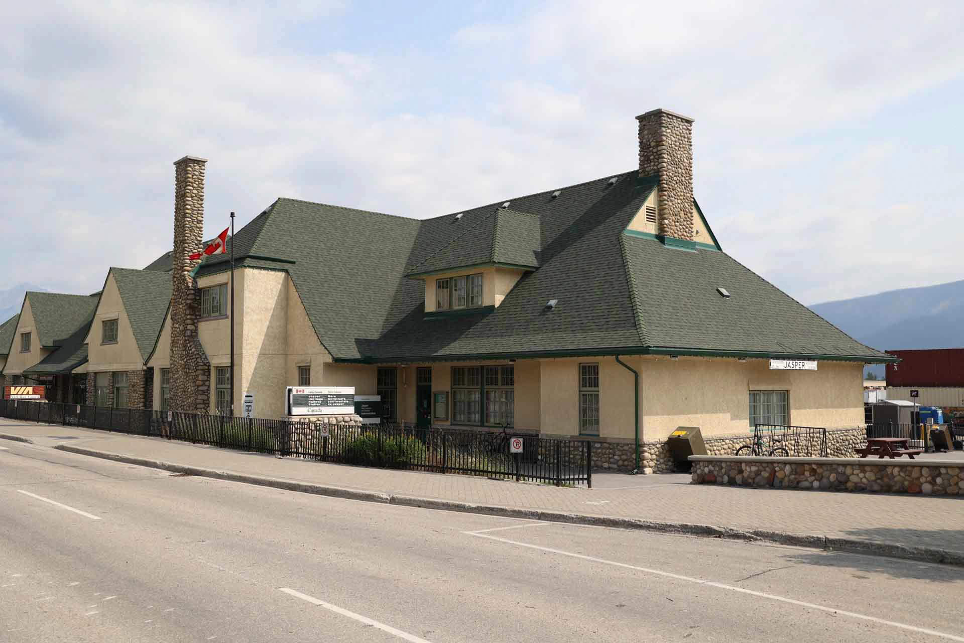
- July 27:
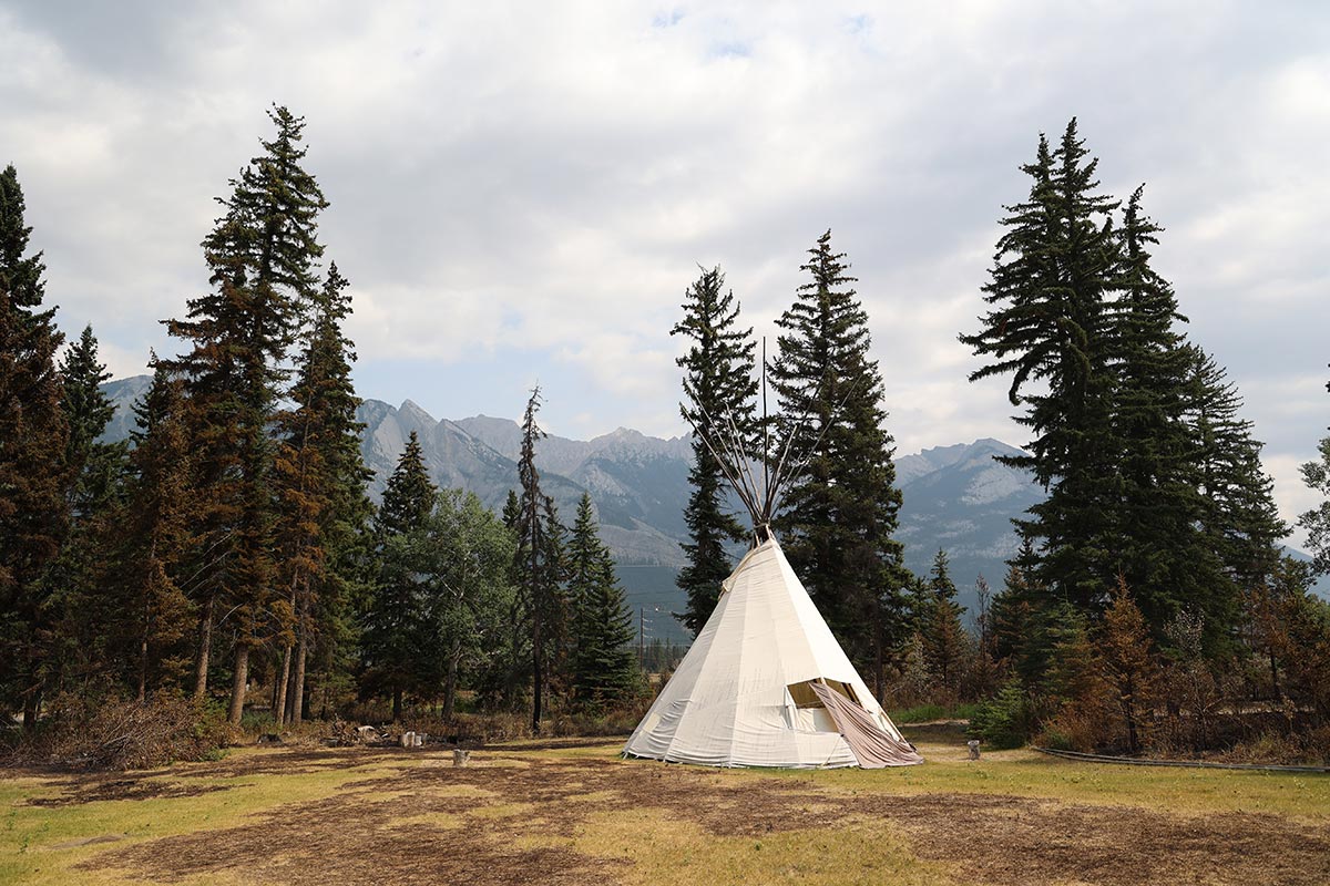
- July 26:
-
-
-
.jpg)
Damaged infrastructure photos
Damaged infrastructure photos
This photo album includes pictures of homes, businesses and community buildings that have sustained significant damage in the fire.
Blurred images depict damage to infrastructure. You do not need to view these photos. However, we know that for some people, seeing images is helpful to process grief and loss.
Re-entry preparations
Re-entry preparations
The Unified Command of Parks Canada and the Municipality of Jasper, as well as supporting agencies, are working hard to prepare for resident re-entry once safe to do so. Images below show the various tasks required to facilitate re-entry.
Blurred images depict damage to infrastructure. You do not need to view these photos. However, we know that for some people, seeing images is helpful to process grief and loss.
Rapid damage assessment of Outlying Commercial Accommodations and Parks Canada facilities
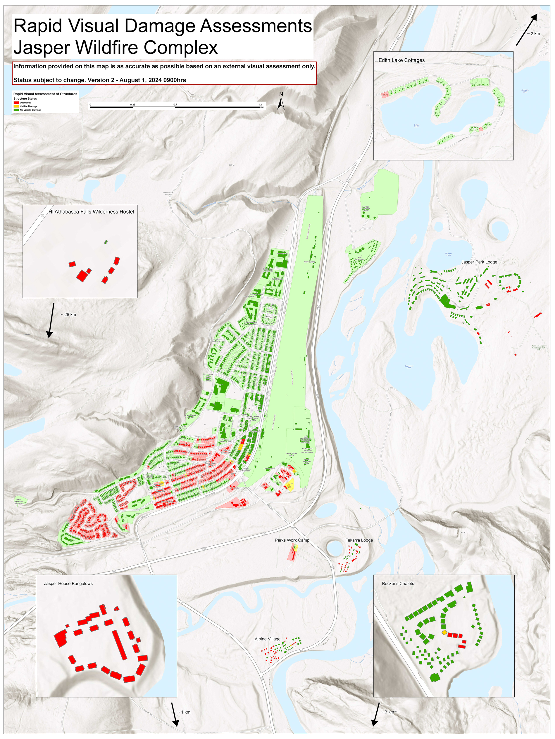
This map shows the rapid infrastructure assessments of Outlying Commercial Accommodations and Parks Canada facilities. Properties in green have no visible damage. Properties in yellow have visible damage. Properties in red are destroyed.
The Jasper Wildfire Complex currently spans more than 33,000 hectares and impacts the Municipality of Jasper, Outlying Commercial Accommodations and various Parks Canada facilities. Firefighters, Unified Command, and supporting agencies are operating in challenging conditions to protect infrastructure both within and outside the Municipality of Jasper.
Parks Canada campgrounds and places attract millions of visitors each year offers, offering a unique blend of natural beauty, accessibility and variety. We understand many residents, Indigenous partners, visitors and staff have strong connections to these Parks Canada places. We hope the following status updates and photos can help you process some of these losses.
Note: This is a RAPID assessment only, additional Damaged structures may be found during the DETAILED assessment phase. Some of the structure footprints for Outlying Commercial Accommodations (OCA) are out of date so some actual structure numbers may be higher or lower than reported.
Emotional support and mental health
Locations
Highway 16 / Maligne Lake Road
| Location | Total number of structures | No damage | Fire damage | Wind damage | Destroyed |
|---|---|---|---|---|---|
| Lake Annette Road | 9 | 9 | 0 | 0 | 0 |
| Lake Edith Road | 1 | 1 | 0 | 0 | 0 |
| Lake Edith Cabins | 81 | 77 | 0 | 0 | 5 |
| Jasper Park Lodge | 121 | 109 | 0 | 0 | 12 |
| Maligne Canyon Wilderness Hostel | 6 | 0 | 0 | 0 | 6 |
| Maligne Lookout | 3 | 1 | 0 | 0 | 2 |
| Maligne Range (Park horse facility) | 4 | 1 | 0 | 0 | 3 |
| Maligne Wilderness Kitchen | 9 | 7 | 0 | 0 | 2 |
| Moberly Bridge (to Jasper Park Lodge) | 1 | 0 | 1 | 0 | 0 |
| Palisades Stewardship Education Centre | 19 | 9 | 1 | 0 | 9 |
| Pine Bungalows | 81 | 81 | 0 | 0 | 0 |
| Skyline Trailhead | 1 | 0 | 0 | 0 | 1 |
| Tekarra Lodge | 42 | 15 | 0 | 0 | 27 |
| 5th Bridge | 3 | 3 | 0 | 0 | 0 |
| 6th Bridge | 1 | 1 | 0 | 0 | 0 |
Icefields Parkway (93N) and 93A
| Location | Total number of structures | No damage | Fire damage | Wind damage | Destroyed |
|---|---|---|---|---|---|
| Alpine Village | 54 | 27 | 1 | 0 | 26 |
| Athabasca Falls Viewpoint | 7 | 7 | 0 | 0 | 0 |
| Athabasca Falls Wilderness Hostel | 8 | 2 (Outhouses) | 0 | 0 | 6 |
| Athabasca Pass Viewpoint | 1 | 0 | 0 | 0 | 1 |
| Becker's Chalets | 72 | 66 | 1 | 0 | 5 |
| Cavell Staff House | 4 | 1 | 0 | 0 | 3 |
| Geraldine Road/Caribou Conservation Breeding Facility | 5 | 3 | 1 | 0 | 1 |
| Horseshoe Lake Day Use | 2 | 2 | 0 | 0 | 0 |
| Highway 16 Lift Station | 1 | 1 | 0 | 0 | 0 |
| Jasper House Bungalows | 23 | 0 | 0 | 0 | 23 |
| Jasper SkyTram | 3 | 3 | 0 | 0 | 0 |
| Leach Lake Day Use Area | 3 | 2 | 1 | 0 | 0 |
| Miette River Lift Station | 2 | 1 | 1 | 0 | 0 |
| Park Gates – Icefields Parkway | 3 | 0 | 0 | 0 | 3 |
| Shovel Pass Trailhead | 1 | 0 | 0 | 0 | 1 |
| Wabasso Campground | 16 | 6 | 0 | 0 | 10 |
| Wabasso South Day Use | 2 | 1 | 0 | 0 | 1 |
| Wapiti Campground | 24 | 15 | 1 | 0 | 8 |
| Whirlpool River Day Use Area/Group Camp | 2 | 1 | 0 | 0 | 1 |
| Whistlers Campground | 72 | 48 | 4 | 4 | 16 |
| Whistlers Water Supply | 2 | 0 | 1 | 0 | 1 |
| Whistlers Hostel (Abandoned) | 2 | 1 | 0 | 0 | 1 |
| Highway 93A Dump Station | 1 | 1 | 0 | 0 | 0 |
Emotional support and mental health
Common stress reactions: It's normal to feel overwhelmed, anxious, or sad. Some physical symptoms might include headaches, stomach aches, or muscle tension.
When to seek help: If you experience severe emotional reactions, such as excessive guilt, anxiety, or thoughts of self-harm, please reach out for professional help.
Helping children cope
Encourage open communication: Let children express their feelings and ask questions. Answer honestly at a level they can understand.
Maintain Routines: Keeping regular meal and sleep times can provide a sense of normalcy and security.
Resources
- Psychologists’ Association of Alberta: 3 free sessions with a volunteer psychologist. 1-888-424-0297 | paa@paa-ab.ca
- Mental Health Help Line (24/7): 1-877-303-2642
- Addiction Help Line: 1-866-332-2322
- First Nations & Inuit Hope for Wellness Help Line: 1-855-242-3310
- Crisis Text Line Text: “CONNECT” to 741741
- Alberta 211: 211 Alberta is a 24/7 crisis line and single point of contact for digital supports and services near you – no matter where you are in the province. Call or text 'INFO' to 211 or visit ab.211.ca.
- Text4hope: Text HOPEAB to 393939 to subscribe.
- Health Link: 811
- Kids Help Phone: 1-800-668-6868, www.KidsHelpPhone.ca
Helpful links
Alberta and BC wildfire information
Both provinces maintain special wildfire and fire ban information websites:
Alberta
British Columbia
- Date modified :