
Activities and experiences
Banff National Park
Trails, lakes and mountainscapes! Whether you are seeking outdoor adventure, cultural experiences, or relaxation, Banff National Park offers something for everyone. Be sure to plan ahead and check conditions before you go.
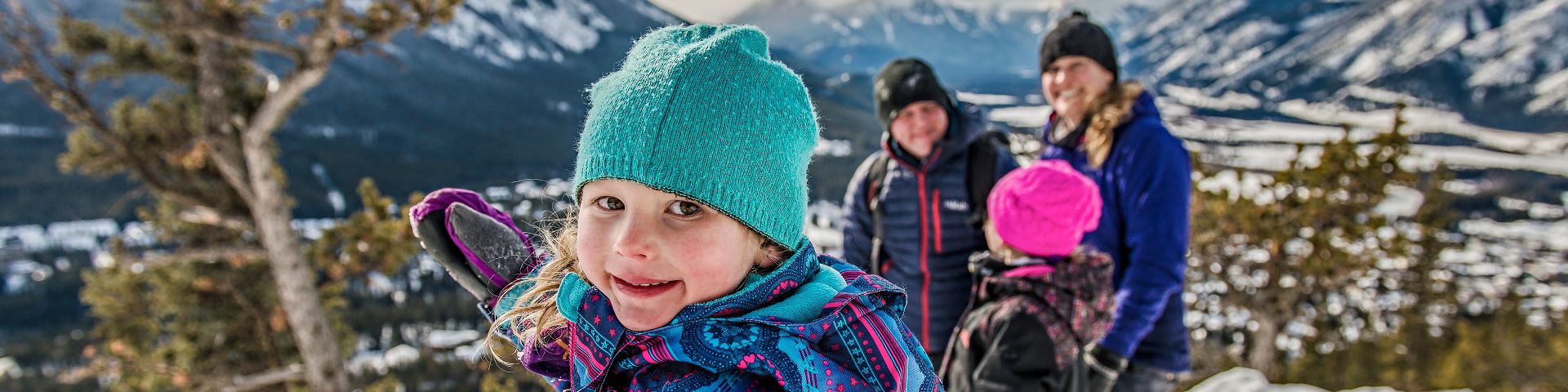
Winter in Banff National Park
Winter is a special time of the year to visit Banff. Here is all the information you need to plan your snowy visit to Banff National Park.
Trail conditions
Planning to explore Banff National Park? Ensure to check the Trail Conditions Report prior to heading into the national park.
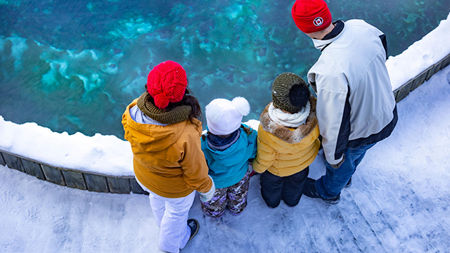
Thermal waters
Experience and learn about the hot springs in Banff National Park by visiting two great Parks Canada administered sites for one low price!
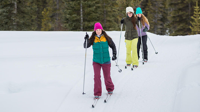
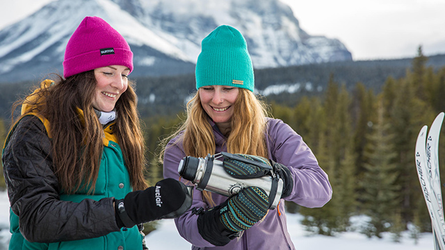
Cross-country skiing
Banff’s ski season is one of the longest in North America, running mid-November through April! Wax up your skis and enjoy one of many cross-country ski trails.
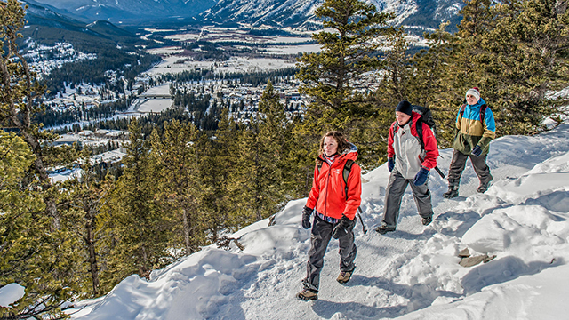
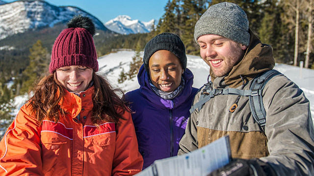
Winter walking
Lace up your boots and enjoy one of many winter walking trails. Use the information on this page to choose a safe and fun destination.

Winter safety
Safety is your responsibility! There are always hazards associated with outdoor recreational activities, be prepared before heading to Banff.
Activities
Calendar of events
Take part in a wide range of events, special activities and memorable experiences in this unique place in Canada.
Red chairs
Parks Canada has placed over 200 red Adirondack chairs throughout the country, including the 11 sets found here at Banff National Park.
Explore the Bow Valley Parkway
The Bow Valley Parkway is a scenic winding route between Banff and Lake Louise. Enjoy 48-kilometer paved road, picnic areas and scenic views.
Cave and Basin National Historic Site
Visitors can enjoy interactive exhibits, short films, seasonal activities, and stunning views of the Rocky Mountains.
Banff Park Museum National Historic Site
Explore the oldest natural history museum in western Canada. Get face-to-face with Rocky Mountain wildlife!
Rocky Mountain House National Historic Site
Discover a historic trading post along the North Saskatchewan River and immerse yourself in stories of Indigenous Peoples and legendary explorers.
Learning experiences
Experiences in the park
Friendly and knowledgeable interpreters are here to share the stories of Parks Canada's protected places.
Virtual experiences
From videos to songs to live virtual programs, explore Banff’s online experiences and learn more about this special place.
Community experiences
The Banff Outreach and Education team is out and about in the communities near the park! Provide stories and education on Banff.
Guided conservation hikes
From lakeside views to mountain vistas, Parks Canada guided conservation hikes show how species and their habitats are connected.
A Beary, Berry Good Day
Join Ursa on her big adventure as she encounters other animals and humans. Find out if she can rely on her instincts to remain a wild and healthy bear.
Volunteer program
The Volunteer Program offers a range of opportunities to participate in learning and hands-on park stewardship activities.
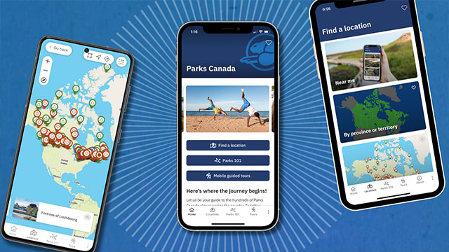
The Parks Canada App
Your pocket guide to the essentials, easy to use navigation, and exclusive access to self-guided tours on your mobile device.
Camping and overnight accommodations
Things to do
- Date modified :