
Brochures and publications
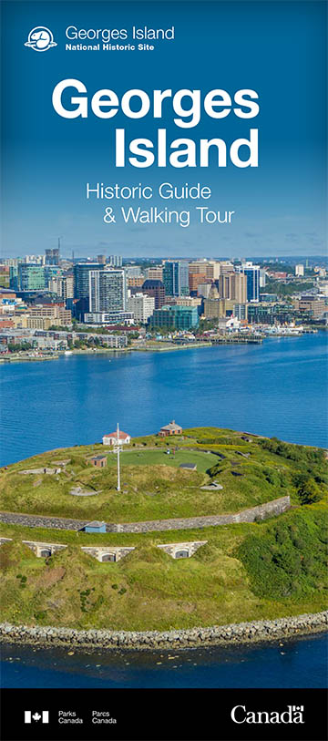
Georges Island National Historic Site
Map
Map of Georges Island National Historic Site
This map shows the points of interest and services offered at Georges Island National Historic Site.
Visitor Guide
Trip planning tools
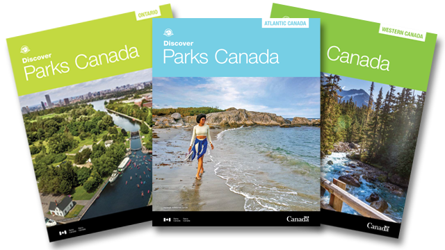
Regional vacation planners and location guides
Choose from six stunning regions across Canada and plan the perfect Parks Canada vacation. Order your free copy by calling 1-888-773-8888.
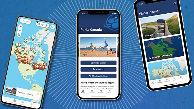
The Parks Canada App
Your pocket guide to the essentials, easy to use navigation, and exclusive access to self-guided tours on your mobile device.

Trip planning tools
Parks Canada newsletter, Parks Canada app, and regional vacation planners.
- Date modified :