
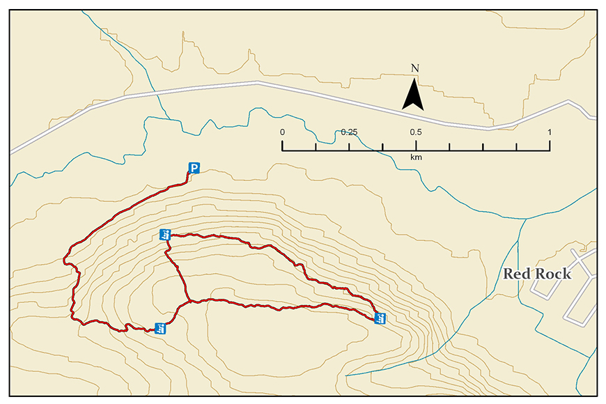
Red Rock Mountain Trail
Lake Superior National Marine Conservation Area
Organization: Land of the Nipigon Waterways Development Association
Classification: Difficult
Distance: 4.9km loop
Elevation Gain: 183 m
Estimated Time: 2-3 hours
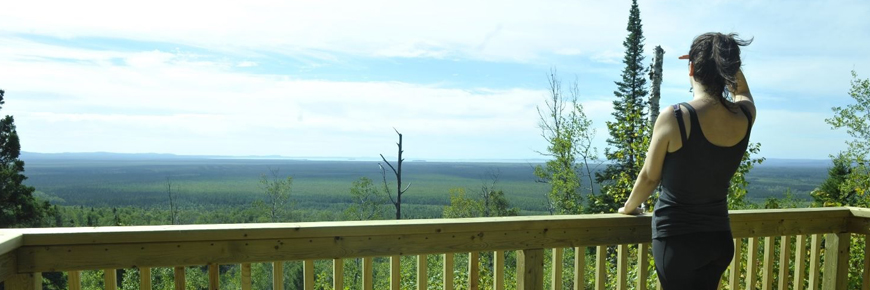
Features: Lookouts over Black Bay, Red Rock and Nipigon River.
Description: Hike this scenic trail to enjoy spectacular panoramic vistas. This is a foot and bike path that runs along the crests and valleys of the Red Rock Mountain. This trail takes advantage of all sides of the mountain, offering nearly a full 360 degree view of the region and a variety of the area's stunning geological features.
This trail provides stellar views of a variety of stunning features of this portion of Lake Superior and a great chance to sit back, relax and enjoy from any of the three platform lookouts.
Directions: From Highway 11/17 take the turn-off to Red Rock on Highway 628 and travel for approximately 5.5 km. Turn right onto Red Rock Road No. 1. The trailhead and parking area are just past the Bailey Bridge, on the right.
- Date modified :