
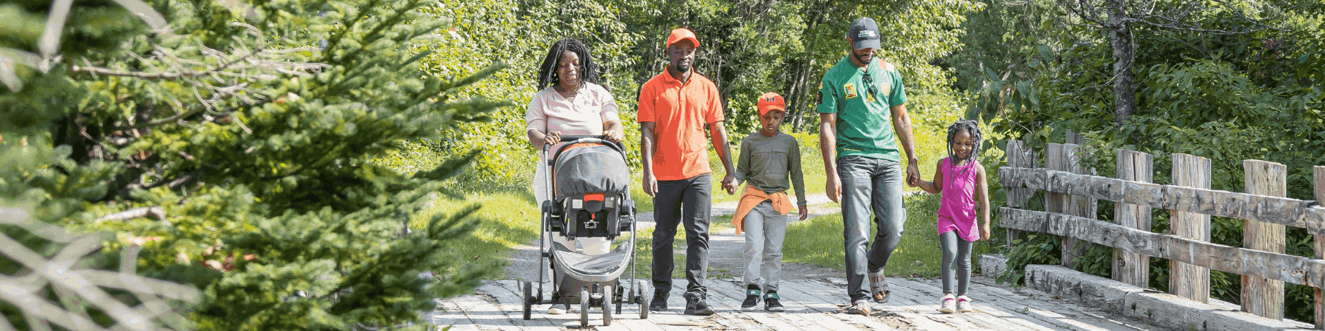
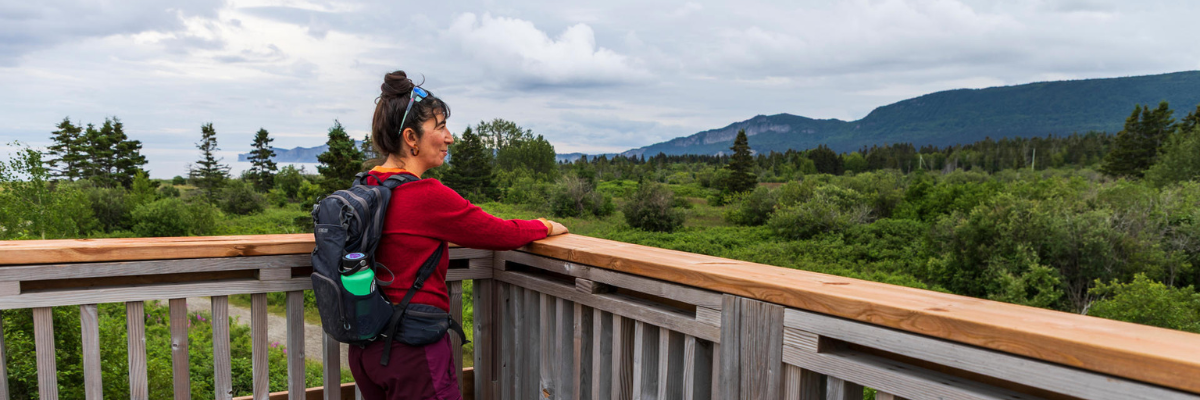
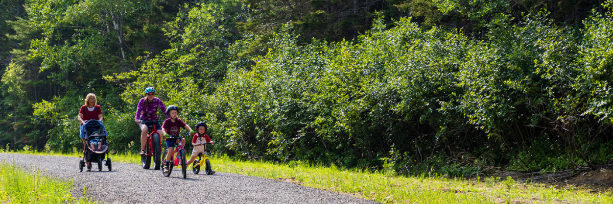
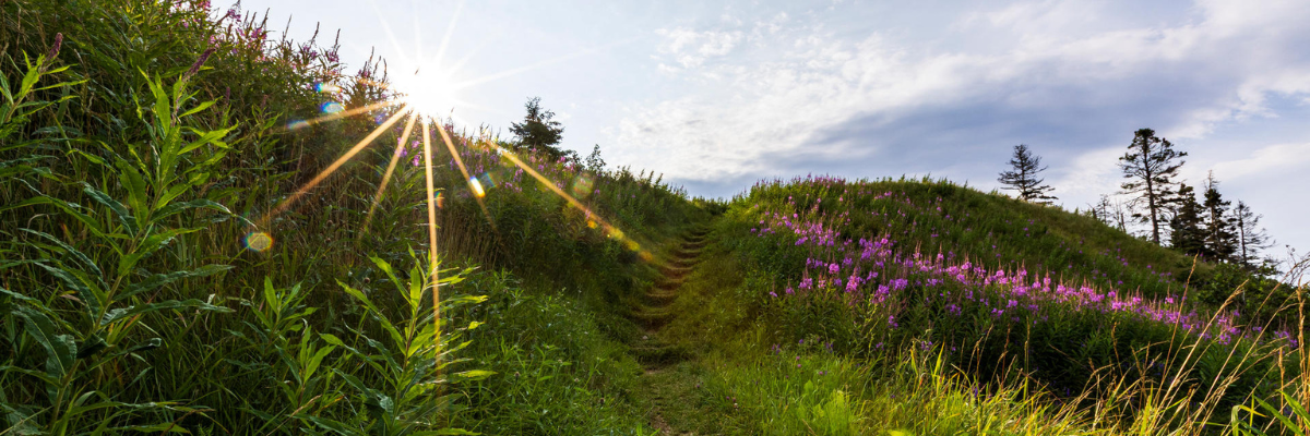
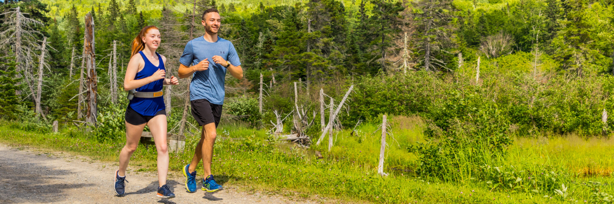
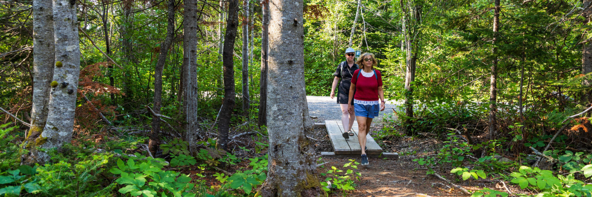
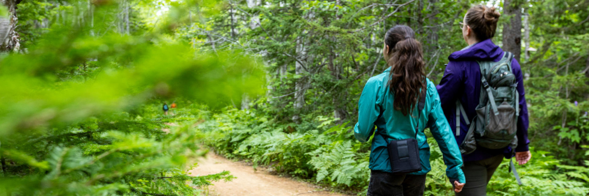
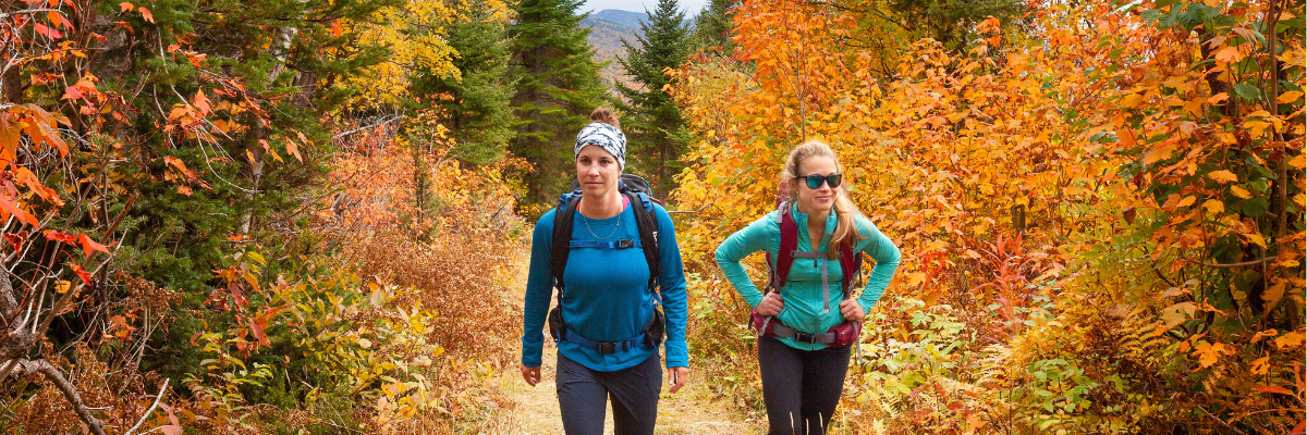
Hiking
Forillon National Park
Whether you’re looking to go hiking for 30 minutes or 4 hours, Forillon has a trail that’s right for you! All park hiking trails will enable you to appreciate the beauty and natural wealth of this protected area. In addition, several trails are a part of the International Appalachian Trail (IAT).
Download Forillon National Park trails map [PDF, 1.6 MB]
 Dogs and other pets must be kept on a leash at all times on the trails, beaches and day areas of the park. They are not allowed inside service buildings.
Service animals are permitted throughout the park. They must be clearly identified and kept on a lead or harness at all times.
Easy hiking trails
Prélude-à-Forillon


Trailhead: Visitor information and discovery centre, North Area
Length: 0.5 km (loop)
Duration: 15 mins.
Elevation gain: 11 m
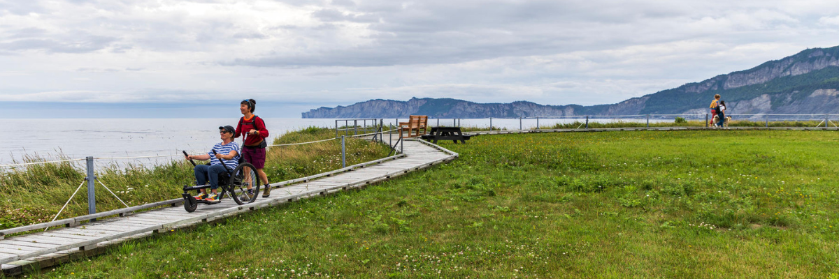
This looped trail enters a hardwood wooded area, leads to the sea, runs along a pebble beach, and goes back to where it started. With its multi-sensory interpretation modules, this wooden footbridge offers people with physical or visual disabilities a glimpse of the best that Forillon has to offer.
La Taïga

Trailhead: at 1 km from Penouille parking lot
Length: 3 km (round trip)
Duration: 1 - 1.5 hrs.
Elevation gain: 87 m
The Penouille sand spit is home to a taiga forest, which is unusual at such a low altitude. Taiga forests are fragile and highly sensitive to trampling, so it is important to stay on the trail. In order to allow visitors to explore this lichen-covered area while protecting it, we have created a trail that follows existing openings in the woods. This trail bypasses areas where the branching grape-fern, an endangered species, grows. Finally, it leads to an observation hide bordering the salt marsh, the ideal place to observe birdlife in complete tranquility. Don't forget your binoculars!
Du Banc
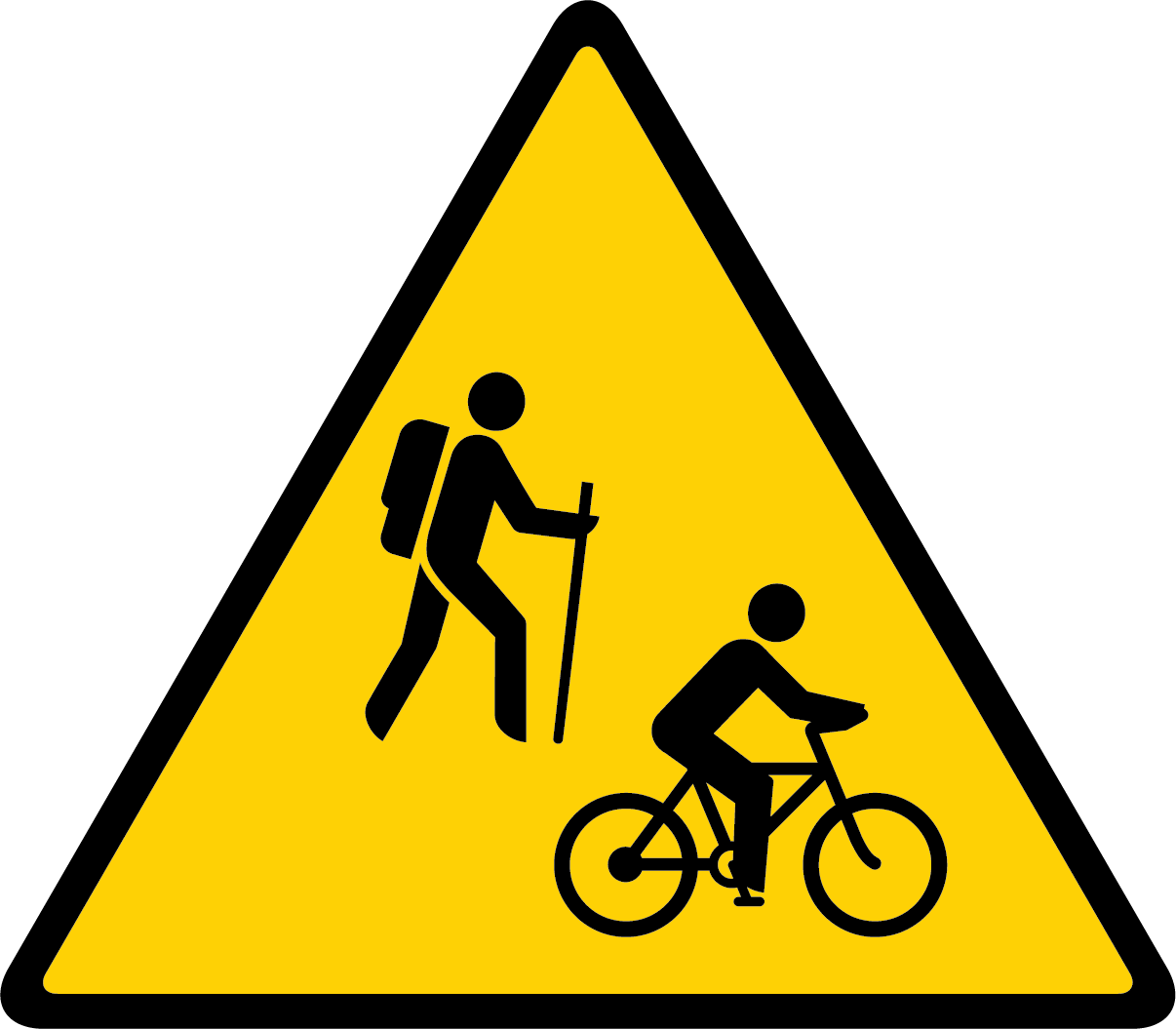
On multi-use trails such as Les Graves or the Du Banc trail, hikers must walk on the left, facing cyclists. Hikers have priority at all times.
Trailhead: Cap-des-Rosiers parking lot or Visitor information and discovery centre, North Area
Length: 4 km (round trip)
Duration: 1 - 2 hrs.
Elevation gain: 44 m
By foot or bike, venture along the seashore on Du Banc trail and take in the magnificent Forillon cliffs and the Cap-des-Rosiers lighthouse. Along the trail, take a break at the Irish Memorial (Carricks) erected in the memory of the some one hundred passengers who drowned off Cap-des-Rosiers in 1847.
Le Castor
On multi-use trails, hikers must walk on the left, facing cyclists. Hikers have priority at all times.

Trailhead: Le Castor parking lot, North Area
Length: 2.9 km (round trip)
Duration: 1.5 hrs
Elevation gain: 35 m
Welcome to the Beaver's turf! Take this stone dust trail that runs alongside the ponds. Halfway along, cross an old stretch of road and go to the observation platform. With a little luck and patience, you'll be able to see our emblematic animal at work!
Le Castor, Le Ruisseau and Le Pic-bois trails form a network of forest trails approximately 7 km long.
Sam and the Beaver mobile app
Sam the Owl introduces children to the secret life of beavers through fun games.
Download the Parks Canada app to to the activity.
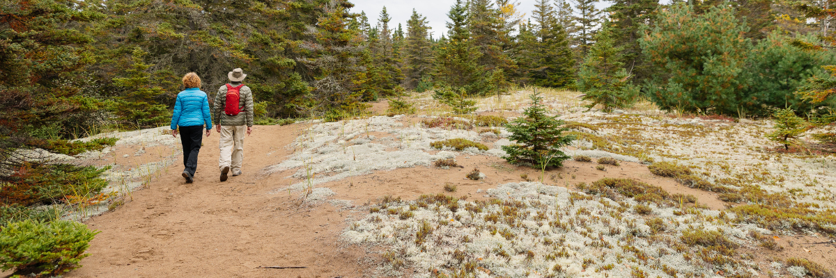
Moderate hiking trails
Les Parages
Trailhead: Grande-Grave
Length: 2 km (loop)
Duration: 1 hr.
Elevation gain: 148 m
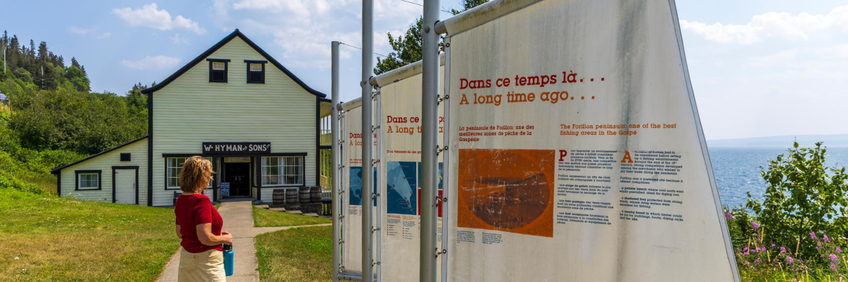
Les Parages is about wandering through a place steeped in history while taming the moods of a huge, open bay. It's walking along the fields and apple trees of the Dolbel-Roberts families. It's a visit to the clerk at Hyman & Sons general shop and then a ‘’spin‘’ at Anse-Blanchette, two historic sites that come alive during the summer months in Grande-Grave.
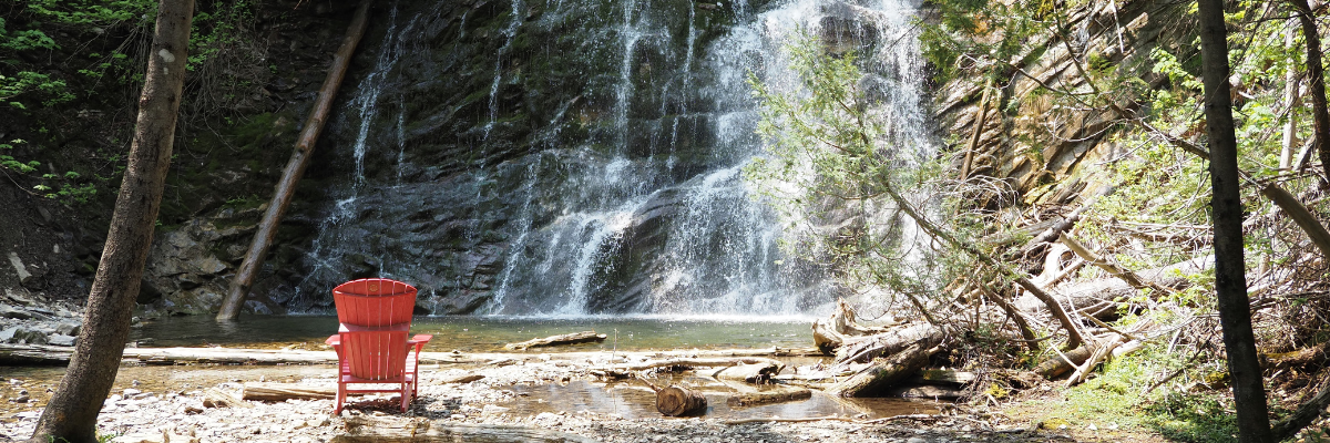
La Chute


Trailhead: La Chute parking lot, on Route 132 (halfway between North and South Areas)
Length: 1 km (loop)
Duration: 30 - 45 mins.
Elevation gain: 90 m
This trail, though short, does have some steep slopes and stairs. You’ll love the quiet of the woodlands as you wind your way through a maple grove and a cedar grove at the bottom of a little valley until reaching a lovely 17-metre-high waterfall. The La Chute trail is linked to the network of forest trails comprising Le Castor, Le Ruisseau and Le Pic-bois.
Les Graves
On multi-use trails such as Les Graves or the Du Banc trail, hikers must walk on the left, facing cyclists. Hikers have priority at all times. Certain sections of the trail are closed to cyclists. Please follow the signs.
Trailhead: Grande-Grave, entire trail
Length: 15.2 km (round trip)
Duration: 4 - 5 hrs.
Elevation gain: 532 m
Trailhead: L'Anse-aux-Amérindiens, gravel road
Length: 6,4 km (round trip)
Duration: 1.5 - 2.5 hrs.
Elevation gain: 172 m
Cyclists are only allowed on the gravel road between L'Anse-aux-Amérindiens and Cap-Gaspé.
Trailhead: L'Anse-aux-Amérindiens, trail
Length: 8 km (round trip)
Duration: 2 - 3 hrs.
Elevation gain: 310 m
The Les Graves trail crosses through woods and overgrown fields overlooking coves and the sea. Maybe you’ll be lucky and see some marine mammals, bears or porcupines. At Cap-Gaspé, approach the base of the lighthouse located atop a 95-metre-high cliff. Today, this solar-powered light is fully automated. Follow the trail down to the bottom of the cliff until reaching Land’s End! Take in the scene and breathe in the salt air – then take a snap for posterity.
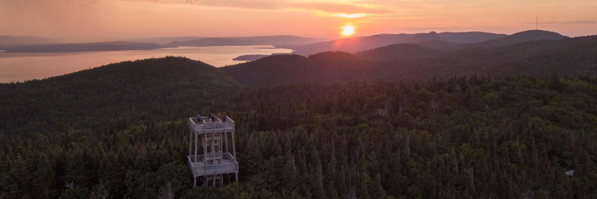
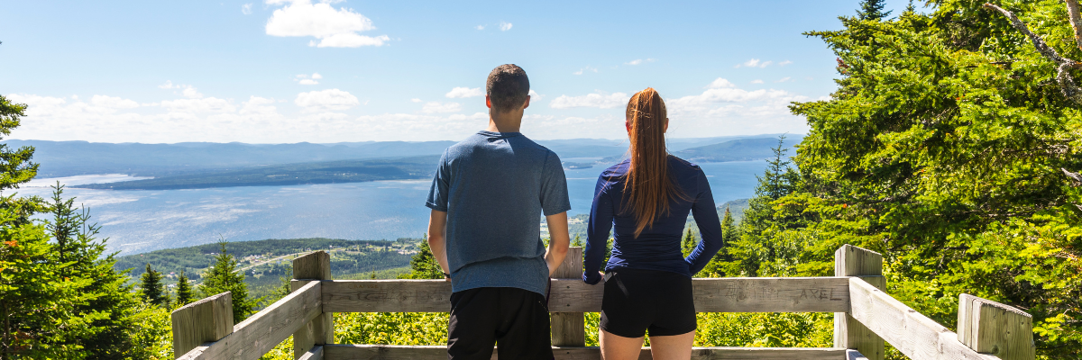
Mont-Saint-Alban

Trailhead: Petit-Gaspé beach
Length: 7.2 km (loop); 5.4 km (tower and back)
Duration: 2.5 - 3.5 hrs. (loop); 1-2 hrs.(tower and back)
Elevation gain: 405 m (loop); 326 m (tower and back)
Trailhead: Cap-Bon-Ami
Length: 7.8 km (loop); 3.6 km (tower and back)
Duration: 3 - 4 hrs. (loop); 1.5 - 2 hrs. (tower and back)
Elevation gain: 472 m (loop); 282 m (tower and back)
Trailhead: Grande-Grave
Length: 7.2 km (loop); 5 km (tower and back)
Duration: 2.5 - 3.5 hrs. (loop); 1- 2 hrs.
Elevation gain: 421 m (loop); 325 m (tower and back)
Let's admit it right away, from Cap-Bon-Ami, you will find the first kilometer quite difficult due to the steep slope. From Petit-Gaspé, the slope is gentler. On both sides, you'll be delighted by the viewpoints this trail offers: there's the sea and forest as far as the eye can see. Once you reach the observation tower, located at an altitude of 285 m, you'll be moved by the sea and cliff landscapes.
La Vallée

Trailhead: L’Anse-au-Griffon
Length: 9.2 km (round trip)
Duration: 2 - 3 hrs.
Elevation gain: 160 m
Amble along L'Anse-au-Griffon River amid a pretty forest. Keep your eyes peeled for wild animals. The trail boasts two picnic areas (including one with a shelter).
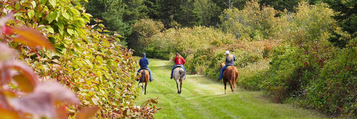
Le Portage
Trailhead: L’Anse-au-Griffon or near the Administrative office
Length: 20 km (round trip)
Duration: 5 - 6 hrs.
Elevation gain: 357 m
Cyclists are advised to take extra care as the trail is damaged in places.
This trail traverses the park from north (L’Anse-au-Griffon) to south (administrative office). Along the southern leg, it crosses through a forest and over a number of waterways. Along the northern leg, it crosses through overgrown fields. A wide trail, “Le Portage” often offers good opportunities for viewing bears and small game.
Trail also open to bikes and horses.
Le Ruisseau
Depending on the season and rainfall, this dirt path can be muddy in places. Make sure you wear appropriate footwear.
Trail head: Le Castor trail
Length: 4 km (round trip)
Duration : 2 hrs
Elevation gain: 69 m
This narrow, winding hiking trail forms a horseshoe shape that links up with the Le Castor trail. Halfway along, it joins the pretty Cap-des-Rosiers stream. With its white spruce and mature cedar trees, ferns and green mosses, Le Ruisseau inspires an invigorating calm. Observant hikers will notice here and there moose tracks or tree trunks gnawed by beavers.
Le Castor, Le Ruisseau and Le Pic-bois trails form a network of forest trails approximately 7 km long.
Le Pic-bois
Cyclists must take this trail via Le Castor. Bicycles are not permitted on the La Chute trail. On multi-use trails, priority is given to hikers at all times.
Depending on the season and rainfall, this dirt trail can be muddy in places. Make sure you wear appropriate footwear.
Trail head: La Chute parking lot
Longueur : 4.8 km (round trip)
Duration: 1,5 hrs
Elevation gain: 153 m
Trail head: Le Castor parking lot
Longueur : 7 km (round trip)
Duration: 2,5 hrs
Elevation gain: 130 m
This gentle trail passes through a generous mixed forest that is home to a host of birds, including woodpeckers, hence the name of the trail in French. An intimate link between Le Castor and La Chute, the Le Pic-bois trail offers glimpses of rolling countryside. Take it south via La Chute or north via Le Castor.
Le Castor, Le Ruisseau and Le Pic-bois trails form a network of forest trails approximately 7 km long.
Difficult hiking trails
Les Crêtes

Trailhead: from Petit-Gaspé Beach or near the Administrative Office
Length: 33.2 km (round trip) including access legs
Duration: 13 hrs.
Elevation gain: 1437 m
Enjoy a long mountain hike offering breathtaking panoramic views out over L'Anse-au-Griffon valley, the Gulf of St. Lawrence and Gaspé Bay. Backcountry campsites and a lean-to shelter are located along the way.
Les Lacs
Trailhead: from the Route 197 (Rivière-au-Renard) or from near the administrative office
Length: 37.2 km (round trip)
Duration: 14 hrs.
Elevation gain: 1276 m
This long mountain hike will take you past a string of small lakes that are well suited for observing boreal forest wildlife. It also offers fantastic views out over the Morris River valley. Backcountry campsites and a lean-to shelter are located along the way.
- Date modified :