
Finch Meander Area
Rouge National Urban Park
![]()
![]()
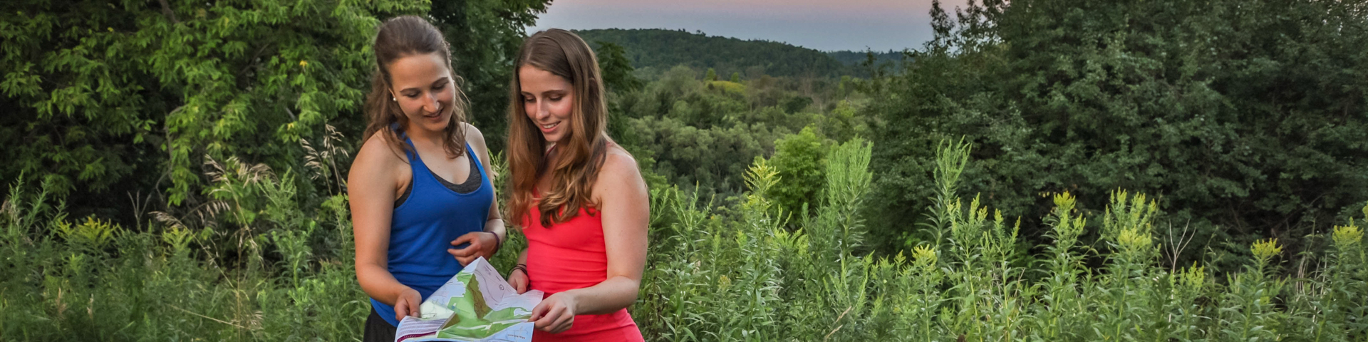
Immerse yourself in wilderness! This trail follows along a curve in the Rouge River.
Location: Old Finch Road east of Sewells Road
Parking: Please note that Finch-Meander parking lot is closed from November 1, 2024 to May 1, 2025.
Washrooms: Sorry, no washroom facilities are located at this site
Directions
By Car
From downtown Toronto (Note: directions start at one of two downtown highways, the Gardiner Expressway or the Don Valley Parkway).
Distance: 36 km (27 minutes without traffic)
Via the Gardiner Expressway/Don Valley Parkway/Highway 401
- - Take Gardiner Expressway East to Don Valley Parkway North
- - Merge onto Don Valley Parkway North
- - Take Don Valley Parkway North to 401 East
- - Merge onto 401 East
- - Use the right two lanes to take the exit toward Morningside Avenue
- - Turn left onto Morningside Avenue
- - Turn right onto Old Finch Avenue
- - Old Finch Avenue turns into Sewells Road
- - Turn right onto Old Finch Avenue
- - Finch Meander is on the right
By Public Transit
Whether you’re travelling from Toronto, Markham, Pickering, Mississauga or Hamilton, you can use public transit to visit Rouge National Urban Park. Plan your trip to Rouge National Urban Park today at Triplinx.ca.
Popular Transit Routes:
By Bus/Subway
From Union Station, ride TTC eastbound Subway (Line 2) to Kennedy Station. At Kennedy Station, Connect to Bus 131A East, Nugget Express Towards Old Finch/Morningside Via Scarborough Centre. Walk from Morningview Trail at Old Finch Avenue. Walk about 10 minutes to Finch Meander.
By Commuter Train/Bus
From Union Station, take the Go Train Lakeshore East to Eglinton GO Station (3 stops). Connect to TTC Bus 116C Eastbound Morningside towards Finch. Get off at the intersection of Morningside Ave at Old Finch Avenue. Walk about 23 minutes, head northwest on Morningside Avenue toward Old Finch Avenue. Turn right onto Old Finch Avenue, then continue onto Sewells Road. Turn right onto Old Finch Avenue. Destination will be on right.
By Bike
Distance from downtown Toronto to the Finch Meander area: Approximately 36 km.
Plan your route to the park by using Google Maps cycling directions or OpenStreetMap.
Note: Both the TTC and Go Transit allow you to bring bikes onto their trains and buses or have bike racks, though some restrictions apply at peak travel times. Consult their websites for more information and to help plan your route.
CAUTION! Please note that biking to the park and between park areas can involve cycling on busy roads, many of which do not have dedicated cycling lanes. Please exercise caution and cycle safely.
- Date modified :