
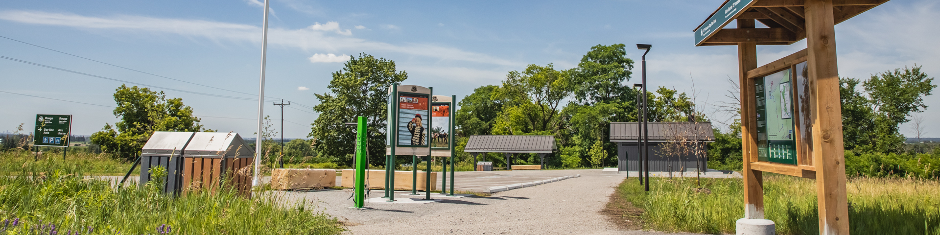
19th Avenue Day Use Area
Rouge National Urban Park
![]()
![]()
This area highlights the park's agricultural heritage and the natural land elevation created by the Oak Ridges Moraine. Take in the sweeping south view — on a clear day, you can see the Toronto skyline on the horizon. Can you spot the CN tower?
A southbound 5.1 km trail connects to the Reesor Road Day Use Area.
| Location 6994 19th Avenue, Markham ON, L6B1A8 Google Maps |
| Parking Free, but limited. The parking lot will be closed and locked at 9 p.m. daily for community safety and security. Lots will reopen between 7 a.m. and 7:30 a.m. daily. |
| Washrooms Available May long weekend to October 31st: 8 a.m. - 8 p.m., November 1st to May long weekend: 8 a.m. - 5 p.m. |
Trails
Directions
By Car
From downtown Toronto (Note: directions start at one of two downtown highways, the Gardiner Expressway or the Don Valley Parkway).
Distance: 52.1 km (40 minutes without traffic)
Via the Gardiner Expressway/Don Valley Parkway/Highway 404
- - Gardiner Expressway East to Don Valley Parkway North
- - Merge onto Don Valley Parkway North
- - Don Valley Parkway North to 404 North
- - Take exit 37 for Stouffville Road (East)
- - Continue on Stouffville Road (East) to Hwy 48 South
- - Turn right onto Hwy 48 (South)
- - Turn left onto Dickson Hill Road
- - Turn left onto 19th Avenue and continue East - Follow Reesor Road to 19th Avenue
- - After passing the intersection at Follow Reesor Road, turn left into parking lot at 6994 19th Avenue
By Public Transit
Whether you’re travelling from Toronto, Markham, Pickering, Mississauga or Hamilton, you can use public transit to visit Rouge National Urban Park. Plan your trip to Rouge National Urban Park today at Triplinx.ca.
Popular Transit Routes:
By Bus/Subway
Sorry, there is no direct subway link to this site.
By Commuter Train/Bus
From Union Station, take GO Transit train ST towards Mount Joy. Get off at Mount Joy GO Station. Walk 2 min to Bur Oak Ave. at Anderson Ave. Ride Markham Stouffville Hospital Transit Bus 18 towards Ninth Line Eastbound (7 stops). Get off at Bur Oak Ave. at Ninth Line. Transfer to Stouffville Transit Ninth Line / Bur Oak Ave. Bus 9 towards 19th Avenue Northbound. Exit Ninth Line at 19th Avenue. Walk 5 minutes via 19th Avenue to 19th Avenue Day Use Area.
By Bike
Distance from downtown Toronto: Approximately 54.8 km
Plan your route to the park by using Google Maps cycling directions or OpenStreetMap.
Note: Both the TTC and Go Transit allow you to bring bikes onto their trains and buses or have bike racks, though some restrictions apply at peak travel times. Consult their websites for more information and to help plan your route.
CAUTION! Please note that biking to the park and between park areas can involve cycling on busy roads, many of which do not have dedicated cycling lanes. Please exercise caution and cycle safely.
- Date modified :