
Navigation
Auyuittuq National Park
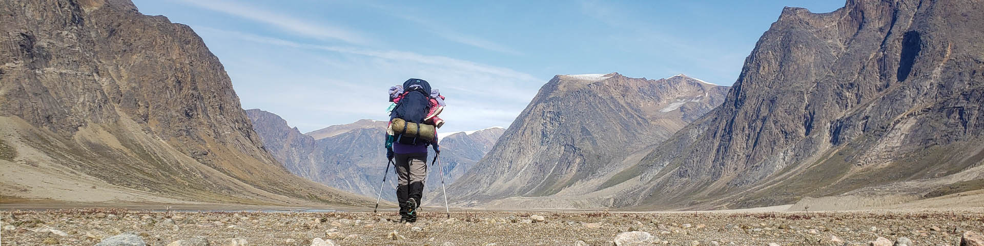
Most of the hikes and ski routes follow unmistakable natural landmarks such as rivers and valleys. In this tree-less landscape you can easily identify these landmarks during your trip as well as find them on your maps. Generally, navigation and route finding is fairly easy. In the summer, the challenge is choosing the best route over the moraines and the best place to cross rivers.
Auyuittuq lies within the area of compass unreliability. GPS receivers are your best bet for navigation. Keep in mind that you should keep batteries warm and even the best unit can fail. Bring a backup unit, extra batteries and the right maps. Arctic weather is very changeable; you may be required to navigate in white-out conditions at any time of year.
If you are planning an overnight or weekend hike to the Arctic Circle from Pangnirtung you can travel on either side of the Weasel River. For all other plnans we recommend that you hike on the west side of the river between Ulu and Glacier Lake, and on the east side between Glacier Lake and North Pangnirtung Fiord.
- Date modified :