
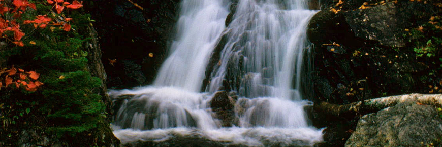
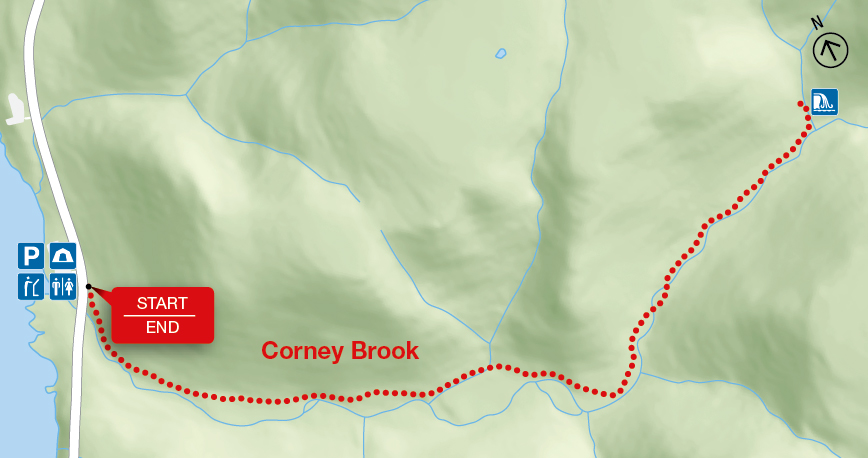
Corney Brook
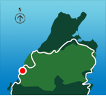
Cape Breton Highlands National Park
Follow a meandering brook through a hardwood forest to a small waterfall that marks the end of the trail. You are actually in a box river canyon – there is only one way out! Keep a watch out for wildlife – a variety of birds, snowshoe hare or maybe even a moose. Local Acadians know this brook as "Rivière à Lazare".
| Length | 6.5 km / 4 mi (return) |
    |
| Rating | Easy  |
|
| Elevation | 30 - 170 m (100 - 560 ft) | |
| Time | 2 hours | |
| Significant features | Acadian forest river canyon, waterfall Cliffs along river edge near beginning of trail. Suitable for most skill levels. |
|
| Trailhead | Across from the Corney Brook Campground Lat: 46.725580 Long: -60.924757 |
Related links
- Acadian
- Salmon Pools
- Le Chemin du Buttereau
- Le Buttereau
- Le vieux chemin du Cap-Rouge
- Skyline
- Bog
- Benjie's Lake
- Fishing Cove
- MacIntosh Brook
- Lone Shieling
- Aspy
- Mica Hill
- Jack Pine
- Coastal
- Jigging Cove Lake
- Green Cove
- Broad Cove Mountain
- Warren Lake
- Franey
- Clyburn Valley
- Middle Head
- Freshwater Lake Look-off
- Freshwater Lake
- Date modified :