
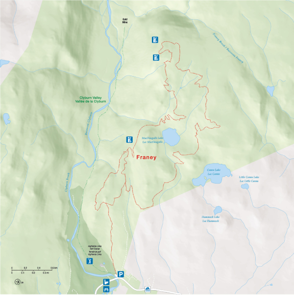
Franey
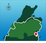
Cape Breton Highlands National Park
Note:
Plan ahead
Popular hiking trails, including Skyline and Franey, see many visitors during the summer and fall months and trail parking lots fill up fast. Be #ParkSmart and plan ahead!
- Trails are busiest between 11:00 a.m. and 4:00 p.m.
- Have a back-up plan in case the parking lot is full.
Keep it wild, keep it safe
Do you know what to do if you encounter wildlife in the park? Before your next visit, familiarize yourself with moose, bear and coyote safety familiarize yourself with moose, bear and coyote safety. Be respectful and act responsibly.
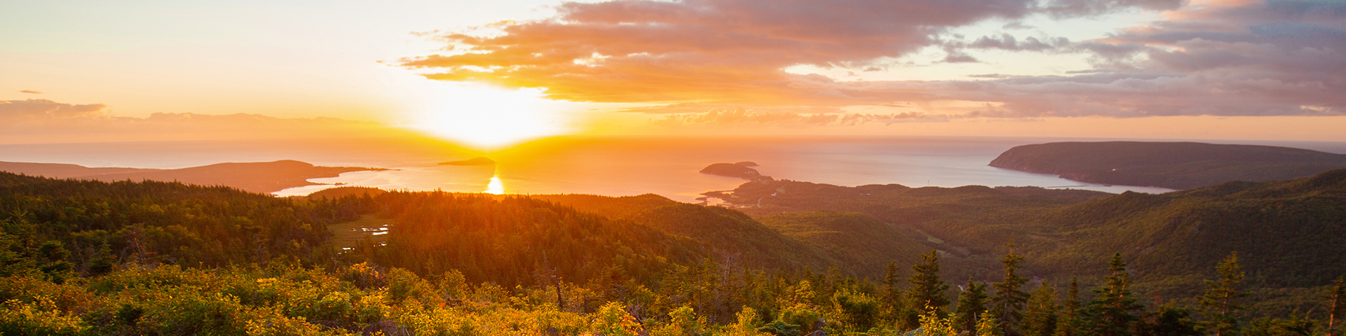
Climb steadily through the forest and your effort will be well rewarded at the summit. Large rocks provide an ideal spot to rest and take in spectacular 360° views of the Clyburn Brook canyon and the Atlantic coastline, stretching from Cape Smokey to Ingonish. Look inland toward the mountains, the sheer rocky face of Franey Mountain, or down to the river winding through the valley, 423 metres below.
Keep an eye out for wildlife along the way—moose are often seen in this area.
The trail has been recently realigned to include two scenic loops. Access the parking area and trailhead at the end of Franey Road.
| Length | 4.5 km / 2.7 mi (lower loop) 13 km / 8 mi (full loop) |
|
| Rating | Difficult  |
|
| Elevation | 17 - 170 m (55 - 557 ft) (lower loop) 17 - 423 m (55 - 1,387 ft) (full loop) |
|
| Time | 1.5 - 2 hours (lower loop) 5 - 6 hours (full loop) |
|
| Significant features | Transition from Acadian to boreal forest, mountain and ocean vistas Steep climb. Rugged sections. Caution: Keep young children away from the steep cliffs. |
|
| Trailhead | Turn off the Cabot Trail just north of the Clyburn River and follow the fire access road for about a kilometre to a small parking lot. Lat: 46.660766 Long: -60.422683 |
Map
Points of interest
| Name | Description | Icon | Category |
|---|---|---|---|
| Warren Lake | Day Use Area | Picnic area | |
| North Bay Beach | Day Use Area | Picnic shelter | |
| Clyburn Valley | Day Use Area | Picnic shelter | |
| Ingonish Beach | Day Use Area | Picnic area | |
| Cops Cove | Day Use Area | Picnic area |
Map routes
| Name | Description | Category |
|---|---|---|
| Warren Lake Road | Unpaved road, parking area, picnic area, trailhead | Access route |
| Franey Road | Paved road, paved parking area, trailhead | Access route |
| Keltic Road | Paved road, paved parking area, trailhead | Access route |
| Beach Road | Paved road, unpaved parking area, day use area, beach, retail area, tennis and soccer areas | Access route |
| Franey | Franey hiking trail | Trail |
| Franey - closed section | Franey trail (closed/under construction) | Closed |
| Cabot Trail | Route 30 | Parkway |
Map areas
| Name | Description | Category |
|---|---|---|
| Cape Breton Highlands National Park | National park |
Related links
- Acadian
- Salmon Pools
- Le Chemin du Buttereau
- Le Buttereau
- Le vieux chemin du Cap-Rouge
- Corney Brook
- Skyline
- Bog
- Benjie's Lake
- Fishing Cove
- MacIntosh Brook
- Lone Shieling
- Aspy
- Mica Hill
- Jack Pine
- Neils Brook Beach
- Jigging Cove Lake
- Green Cove
- Mary Ann Falls
- Broad Cove Mountain
- Warren Lake
- Clyburn Valley
- Middle Head
- Freshwater Lake Look-off
- Freshwater Lake
- Date modified :