
Clyburn Valley
Cape Breton Highlands National Park
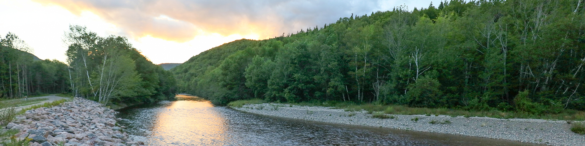
Hikers will marvel at the spectacular stands of hardwood trees, boulders bigger than cars, old abandoned beaver ponds, meadows, apple trees and even the remains of an old gold mine. This trail follows the river for most of the way, but you can catch a glimpse of the Highlands Links Golf Course, as it weaves its way up this valley. Feel humbled by the sheer rock face of Franey Mountain 425 m (1,400 ft.) above.
| Length | 8.5 km / 5 mi |
     |
| Rating | Easy  |
|
| Elevation | 5 - 50 m (15 - 165 ft) | |
| Time | 2 - 3 hours | |
| Significant features | Hardwood valley, river, remains of an old gold mine Relatively level trail. Rough sections where trail floods. Not maintained beyond the gold mine. |
|
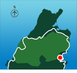
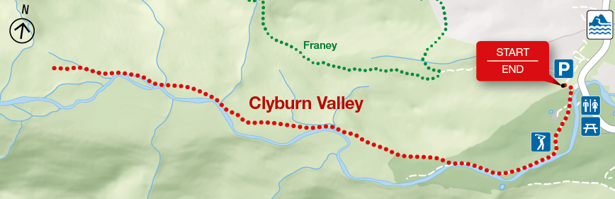
| Trailhead | For 2017: turn off the Cabot Trail just north of the Clyburn River and follow the fire access road. Lat: 46.660688 Long: -60.410384 |
Related links
- Acadian
- Salmon Pools
- Le Chemin du Buttereau
- Le Buttereau
- Le vieux chemin du Cap-Rouge
- Corney Brook
- Skyline
- Bog
- Benjie's Lake
- Fishing Cove
- MacIntosh Brook
- Lone Shieling
- Aspy
- Mica Hill
- Jack Pine
- Neils Brook Beach
- Jigging Cove Lake
- Green Cove
- Mary Ann Falls
- Broad Cove Mountain
- Warren Lake
- Franey
- Middle Head
- Freshwater Lake Look-off
- Freshwater Lake
- Date modified :