
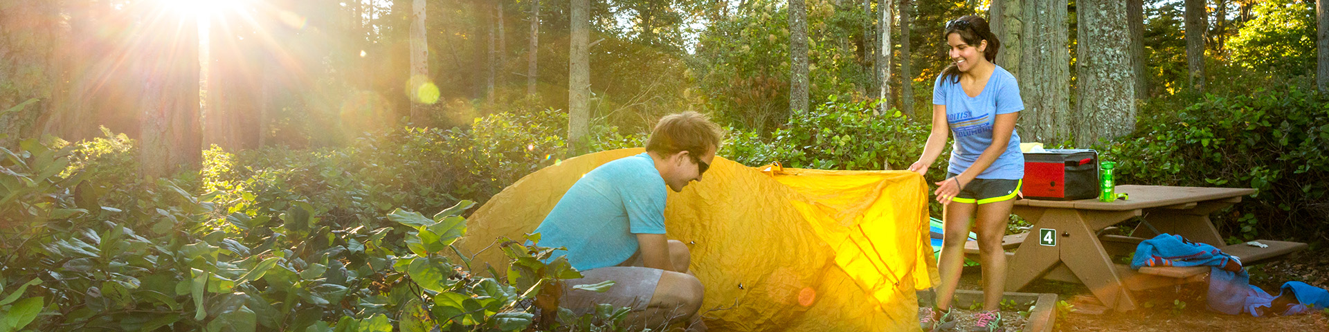
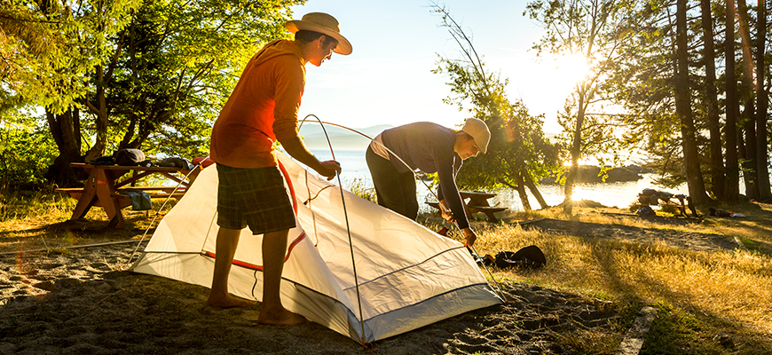
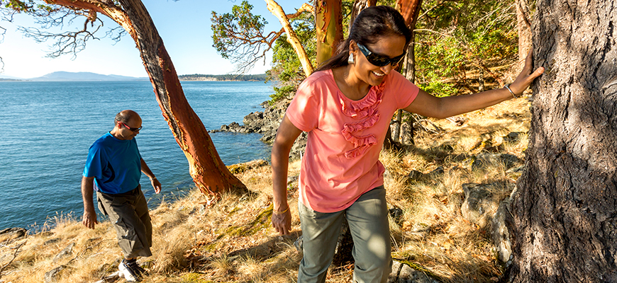
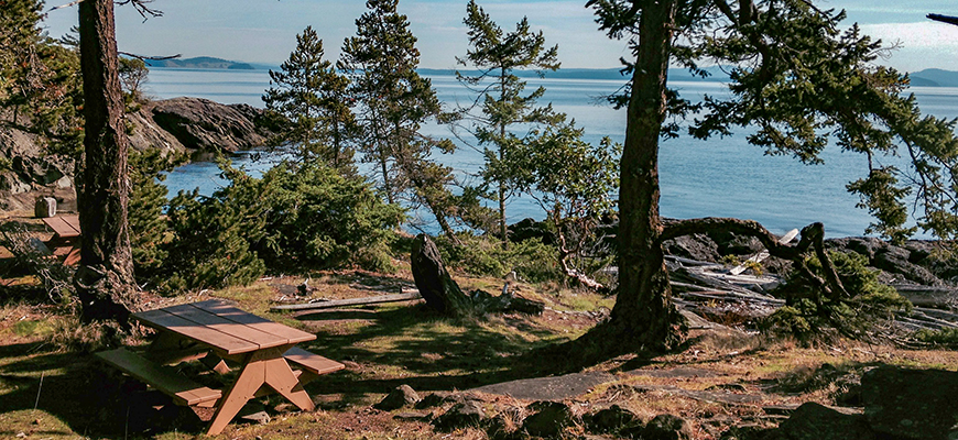
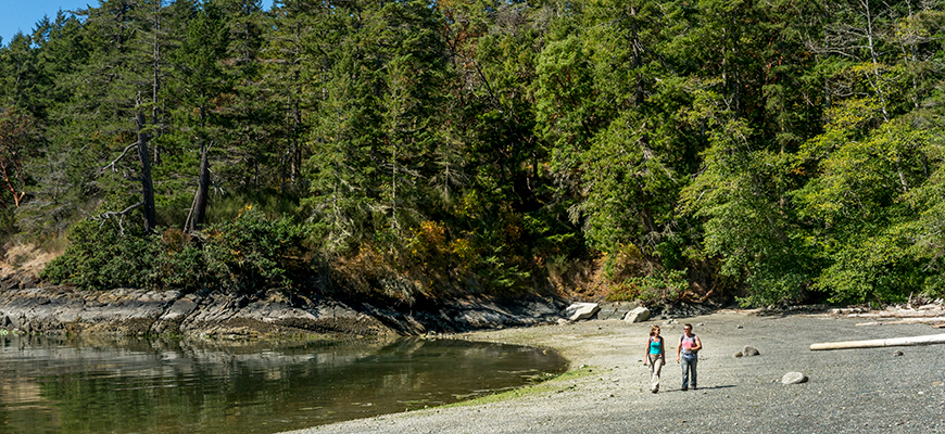
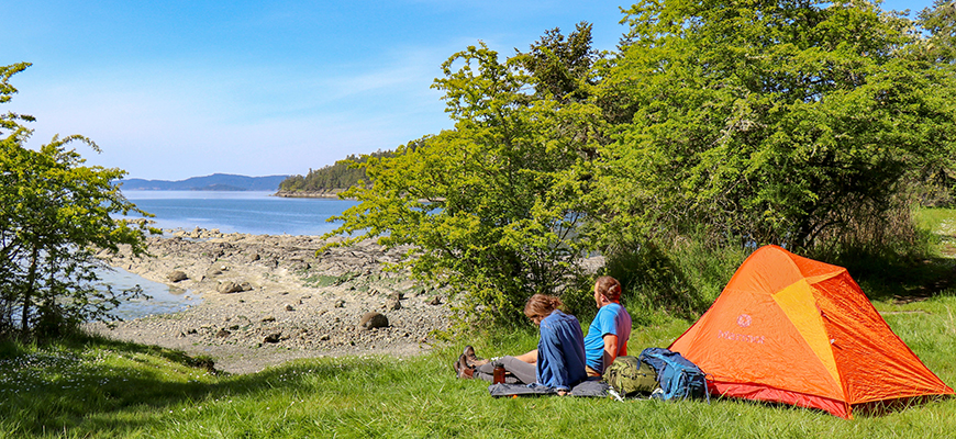
Backcountry camping
Gulf Islands National Park Reserve
Cabbage Island Campground. Beginning April 15, 2025, Gulf Islands National Park Reserve will offer only access to pit toilets and moorage payment kiosk on Cabbage Island, as well as use of the mooring buoys. Overnight camping and day-use areas will not be offered until further notice. Please respect all on-site signage.
Backcountry campgrounds are accessible year-round but are not regularly maintained from October 1 – May 14. Visitors may use them at their own risk.
For a rugged, back-to-nature experience, we offer a wide variety of backcountry campsites throughout the Southern Gulf Islands.
Reservations
Reservations for Shingle Bay and Narvaez Bay campgrounds can be made at reservation.pc.gc.ca or +1 (877) 737-3783.
Reservation Launch: Friday, January 16, 2026 at 8:00 am PT
- Reservations can be made at reservation.pc.gc.ca or
- Learn more about Parks Canada's online Reservation Service here.

2026 Camping Season: Important Information.
- Beaumont Campground: Gulf Islands National Park Reserve will continue to offer only daytime visits to Beaumont on South Pender Island, as well as use of the mooring buoys. Overnight camping will not be offered in 2026, while we continue to explore the potential for an alternate camping area. Please respect all on-site signage.
Be prepared, and know what is open and closed before you go.
Saturna Island - Narvaez Bay Campground
GPS coordinates: 48.774203, -123.098736
Narvaez Bay is one of the most beautiful and undisturbed bays in the southern Gulf Islands. This area includes regenerating Douglas fir forest and Garry oak-arbutus ecosystems. This campground is easily accessed from land or water, and is a popular spot for paddlers and overnight anchorage.
Getting here
BC Ferries offers service to Saturna Island from Swartz Bay, Tsawwassen and other Southern Gulf Islands. For ferry schedule to & from Saturna Island, visit: bcferries.com/schedules/southern or contact
To access from land: Head east on Narvaez Bay Rd. Park at the gate at the end of Narvaez Bay Road, and walk past the gate and down the road to the bay for 1.7km. Stay on the main path to avoid trampling sensitive vegetation.
Campground info:
- Walk-In access: 1.7 km from trailhead to backcountry campsites
- 7 reservable campsites
- Bike racks at the campground
- Pit toilets
- No potable water
Reservations
Book your campsite online at reservation.pc.gc.ca or by calling
Pender Islands
The Penders—North and South—were once one island connected by a narrow strip of land. A canal between the islands was dredged in 1903 to allow boats to make a speedier passage to the outer Gulf Islands. Rejoined again with the building of a one-lane bridge in 1957, the two islands are now home to a combined population of around 2,000 permanent residents, the majority of whom live on North Pender.
Getting here
BC Ferries offers service to Pender Island from Swartz Bay, Tsawwassen and other Southern Gulf Islands. For ferry schedule to and from Pender Island, visit: bcferries.com/schedules/southern or contact
Shingle Bay Campground
GPS Coordinates:48.7841064747264, -123.31095284505
Campground info
- Accessible by water or walk-in trail
- 10 reservable primitive campsites
- Pit toilets
- No potable water
- Nearby: Prior Centennial campground;
Pender Island Trails
Getting here
The camping area is walk-in only.
From the parking area you will descend 0.24 km down a steep hill.
Overnight parking available for campers at the end of Shingle Bay Rd.
Getting here by car:From the Otter Bay Ferry Terminal, head north towards MacKinnon Rd, after 350 m merge and make a slight right onto MacKinnon Rd. Follow for 600 m, then continue straight onto Otter Bay Rd. In 1.5 km, turn right onto S Otter Bay Rd. In 2.6 km, turn left onto Shingle Bay Rd. Follow for 500m and you will arrive in the parking area for the campground.
Reservations
Book your campsite online at reservation.pc.gc.ca or by calling
First-come first-served campgrounds:
D’Arcy Island
GPS coordinates: 48.567484, -123.273656
With numerous coves, cobble beaches and a forest of arbutus and Douglas fir, D'Arcy Island's beauty belies its past history as a leper colony for Chinese immigrants in the late 1800s and early 1900s. To avoid damaging sensitive habitats or disturbing cultural features, please camp only in the designated campsites.
Campground info:
- Accessible by water only
- 7 primitive campsites
- Pit toilets
- No potable water
Isle-de-Lis / Rum Island
GPS coordinates: 48.662781, -123.280474
This small island features a Douglas fir/arbutus forest and coastal bluffs, as well as vegetation that reflects the warm Mediterranean-like climate of the southern Gulf Islands.
The island is popular with kayakers who stop overnight on multi-day paddling trips, but plan to arrive early in the day as there are a limited number of campsites (three sites). Marine access only, pit toilets and no drinking water.
Rum Island is connected to neighbouring Gooch Island by a gravel beach that is the best place to put a kayak ashore. Gooch Island is private property: please do not trespass.
Campground info:
- Accessible by water only
- 3 primitive campsites
- Pit toilets
- No potable water
Princess Margaret (Portland) Island
GPS coordinates: 48.721860, -123.384235
Portland Island features three backcountry campgrounds linked by hiking trails. During the summer months, the Royal Victoria Yacht Club provides information to boaters at a float in Princess Bay, through the park's Marine Host program.
Portland Island features cliffs, protected coves and sand beaches.
Settled by Kanaka (Hawaiian) immigrants in the 1880s, Portland Island's recent history is primarily agricultural. The island was presented as a gift to Princess Margaret in 1958 to commemorate her visit to the province. In turn, she returned the island to British Columbia as a provincial park in 1967.
Campground info (all sites):
- Accessible by water only
- Food cache
- Pit toilets
- No potable water
Shell Beach Campground:
6 primitive campsitesGPS coordinates: 48.721860, -123.384235
Princess Bay Campground:
12 primitive campsitesGPS coordinates: 48.7209160705094, -123.369624890751
Arbutus Point Campground:
6 primitive campsitesGPS coordinates: 48.734518, -123.367186
Prevost Island - James Bay Campground
GPS coordinates: 48.8396793863411, -123.397182148045
James Bay Campground on Prevost Island is only accessible by water, and is popular with kayakers. There are no tent pads in this open field style camping area.
National park reserve lands are located on both the north and south shores of Prevost Island. The majority of the island, however, remains privately owned by the descendants of Digby de Burgh—the man who bought the island in the 1920s. They continue to farm and raise sheep on the island. The island is largely unchanged from what would have existed a century ago, and contains large cedar and arbutus groves.
Campground info:
- Accessible by water only
- 10 primitive campsites (no picnic tables or tent pads)
- Pit toilets
- No potable water
Related links
- Date modified :