
Trails
Battle of the Châteauguay National Historic Site
The interpretation building at the Battle of the Châteauguay National Historic Site is currently closed.
You can enjoy the outdoor picnic area on the banks of the Châteauguay River, or take a look at the Commemorative Obelisk just a few steps from the parking lot.
Outdoor area
Enjoy the riverside picnic area on your own, with family or friends.
You can also stop here after your bike rides.
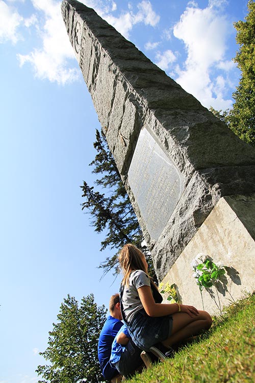
Obelisk monument
Walk about two minutes from the parking lot to admire the commemorative monument erected in 1895 by the Canadian Parliament in memory of the Battle of the Châteauguay.
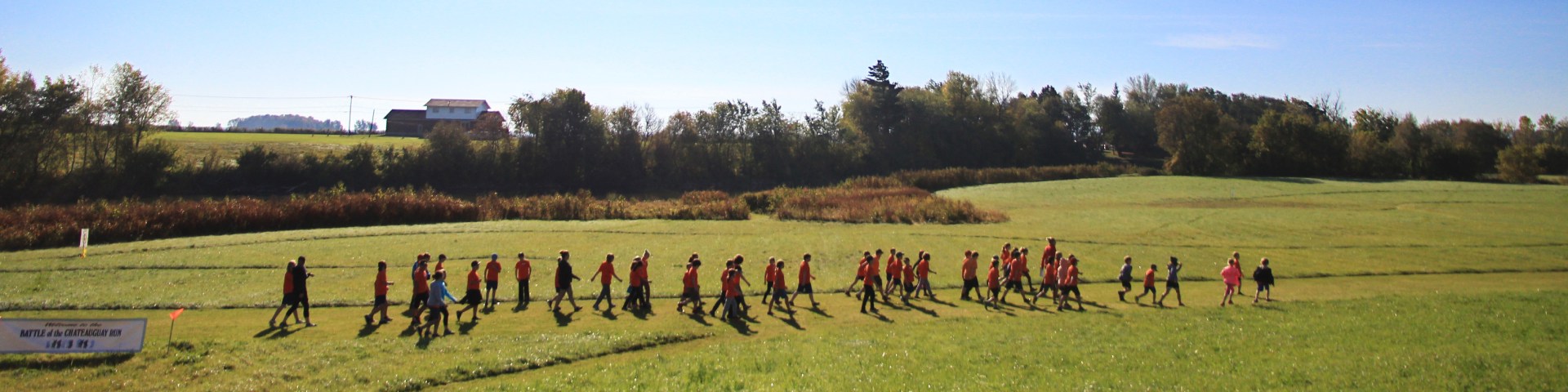
Groomed trail of the battlefield

Take a trip through the history of this famous October 26, 1813 battle by exploring the archeological landscapes of the battlefield stretching over a distance of 14 kilometres.
By car or by bike, follow the groomed trail along the Châteauguay over a distance of more than 19 kilometres between Ormstown and Howick, and relive this great feat of arms.

Download the 2024 Groomed Trail of the Battlefield Map (PDF, 3.14 Mb)
Thirteen panels, a fascinating story!
- Date modified :