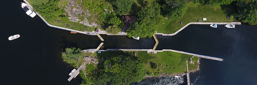
Paddling Route: Buckhorn to McCrackens Landing
Trent-Severn Waterway National Historic Site
Kawarthas region 1-day route
Paddle the scenic Upper Buckhorn, Lovesick and Stoney lakes on this beautiful one-day paddling trip. Do not hesitate to explore all the islands and inlets on your way.
Route information
- Difficulty: Intermediate
- Total distance: 18.5 km (11.5 miles); one way
- Time to paddle: 1 day; 4.5 to 6 hours
- Number of locks encountered: 3
- Environment: Lakes, islands and inlets
Facilities and services available along this route:
COVID-19
Some lockstation facilities and services have changed in response to the COVID-19 pandemic and could affect your visit. Please visit our COVID-19 information page for more details when planning your trip.
Plan your trip
This is a one-way route that requires a personal shuttle to or from the put-in and take-out locations. Be sure to arrange your transportation accordingly.
Put-in locations
Suggested:
- Natural shoreline at lower reach of Lock 31 - Buckhorn
Location: Buckhorn Narrows Rd, Buckhorn, ON
Take-out locations
Suggested:
- McCracken’s Landing
Location: 2281 McCracken's Landing Rd, Lakefield, ON
Other locations to take-out nearby:
- Burleigh Falls boat launch at Lock 28
Paddling directions
- Follow the left (north) shore on Lower Buckhorn Lake until you reach Lock 30
- McCrackens Landing is located in the centre of the southeastern shore of Stoney Lake
Lockage
Lockage is recommended for some locks along this route. Portaging may be difficult.
Lockage is the process of raising or lowering boats and paddlecraft into connecting sections of the Trent-Severn Waterway. Lockage takes approximately 20 minutes to complete. During seasonal Hours of Operation, paddlers can lock through any Parks Canada lock with the purchase of a valid lockage permit. Permits may be purchased upon arrival, or in advance online or by phone.
Locks along this route
The status of facilities and services at lockstations listed below are subject to change throughout the navigation season. Please visit our Facilities and Services page for up-to-date status by lockstation.
Wind conditions
- The water flows from Buckhorn to Lakefield
- Best wind conditions are from the west (tail wind)
- Avoid winds coming from the north & south (side wind) and the east (head wind)
Hazards
- Watch for powerboats and their wake
- There is a narrow passage in the navigational channel around Dinnertime Island (Lower Buckhorn Lake)
Avoid dams
Watch for dams at the following locations and be sure to navigate away from them:
Tourism information
- Buckhorn
- Located near Lock 31
- Burleigh Falls
- McCrackens Landing
Other routes you might like…
- Date modified :

 Accessible washrooms
 Potable water
 Information
 Picnic area

