
Road Trip Itinerary
Pingo Canadian Landmark
Road Trip Itinerary: Dawson City, Yukon to Tuktoyaktuk, NWT
Total Distance: Approx. 1,300 km (800 miles)
Duration: Round trip, 7-10 days (depending on stops and camping)
Timeline: Best time to drive the Dempster Highway is from June to early September
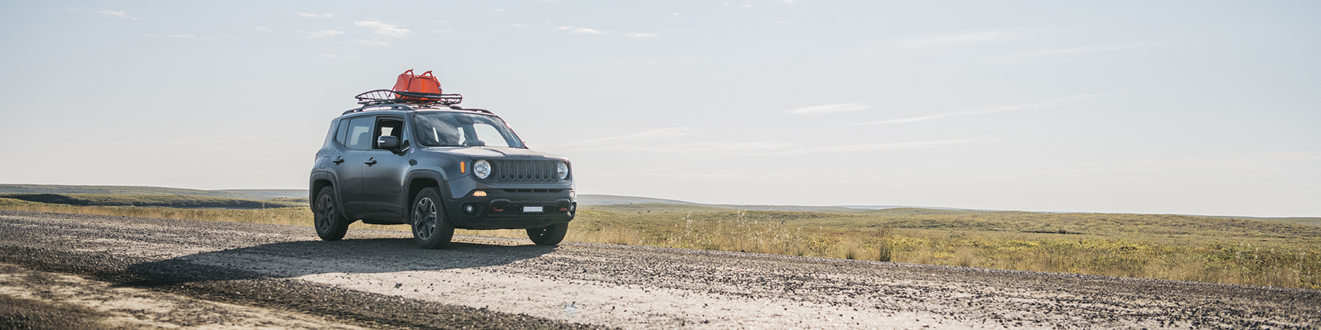
“Driving the Dempster” has been a life list trip for many travellers. With the new Inuvik to Tuktoyaktuk Highway being built, this bucket list item has become even more impressive; driving to the Arctic Ocean is now possible. Here is a suggested itinerary for you to start planning your life list road trip.
As many are familiar with the Alaskan Highway road trip, we chose to start our itinerary with a right turn and for you to continue your Canadian adventure.
Motorcycles are common on this highway, as it is one of the trips that you will remember for a lifetime! Check out the Dempster Highway Adventure Riders group on Facebook for more helpful info!
Day 1: Dawson City to Tombstone Territorial Park
Distance: 150 km (93 miles)
Sightseeing:
Dempster Highway Start (YT km 0): Driving 40 km South of Dawson City you will reach Dempster Corner, where the gravel journey starts. Commemorate this adventure with a road selfie. Set your odometer to zero (000).
Tombstone Territorial Park: Take a picture at the Tombstone Park sign. Visit the Tombstone Interpretive Centre (YT km 71.5), take a walking tour, or go for a hike to take in the scenic views of the rugged mountains.
Camping:
Tombstone Campground (YT km 72): Enjoy stunning views and hiking opportunities. Facilities include fire rings and basic campground toilets.
Day 2: Tombstone to Eagle Plains (YT KM 369)
Distance: 225 km (140 miles)
Sightseeing:
Dempster Highway Views: Stop at various scenic pullouts for breathtaking landscapes, such as the North Klondike Range, the Tombstone Range viewpoint (YT 74.0), and the Ogilvie Ridge (YT km 259).
Camping:
Eagle Plains Hotel Campground (YT KM 369): a great place to rest before heading further north. This scenic rest stop sits at an elevation of 720 m (2,360 feet). Here you can gas up and have a meal in the restaurant. You can stay overnight in the hotel or in the full-service campground. It is also recommended that you gas up here because gas stations are few and far between on the Dempster Highway.
- Take a picture at the Inuvik sign just south of town.
- Visit the Community Greenhouse
- Visit the Northwest Territories Visitor Centre
- Attend an Arctic Market on Saturdays in the summer where you can purchase one-of-a-kind items from local artists and artisans.
- Learn to bead or embroider from a local artist at one of the many classes offered throughout the year.
- Check out the surprisingly upscale Alestine’s, the restaurant in a converted school bus.
- Take a boat tour on the Mighty Mackenzie River.
- Look for geocaches www.geocaching.com
- You can find even more activities listed on the Discover Inuvik website: https://www.inuvik.ca/en/Discovering-Inuvik.asp
Day 3: Eagle Plains to Inuvik
Distance: 370 km (230 miles)
Sightseeing
Arctic Circle Sign (km 405): Snap a pic and take in the views of the area.
Yukon-Northwest Territories Border (YT km 465): Another photo opportunity. Also don’t forget to adjust your clocks by an hour in the summer because the Yukon does not observe Daylight Savings Time Note: The road markers reset to Zero when you enter NWT.
The Peel River Ferry (NWT KM 74) operates 9:15 am–12:45 am (early June to mid-October).
Fort McPherson (NWT km 85.4) or Tsiigehtchic (NWT km 142.6): you can take a rest break in one of these Gwich’in communities and discover the history of these hamlets.
The Mackenzie River Ferry (NWT KM 142.6): Operates 9:30 am–12:45 am (early June to mid-October)
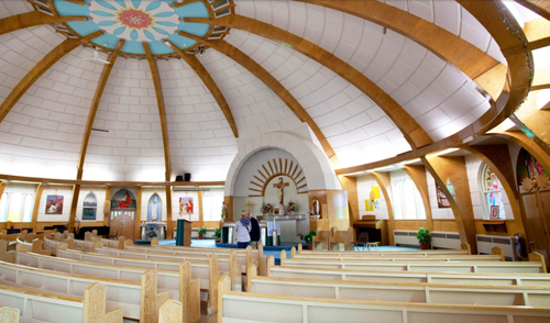
Inuvik (NWT KM 269): Inuvik (place of people) is the homeland of the Inuvialuit and Gwich'in Peoples as well as many other people and cultures. A place of rich diversity, Inuvik is located on the Mackenzie Delta - Canada's largest freshwater delta, close to the Arctic Ocean, with a spectacular view of the Richardson Mountains. Western Arctic Regional Visitor Centre, Igloo Church, Community Greenhouse and the Inuvik Community Corporation. Stop into the Parks Canada Office and say hello. Note: You may want to leave yourself a full day or more to explore Inuvik depending on your curiosity.
Things to Do in Inuvik:
Camping & Hotels
Happy Valley Territorial Campground: Located within the town of Inuvik, Happy Valley is nestled on a bluff overlooking the East Channel of Mackenzie River with stunning views of the Richardson Mountains across the mighty Mackenzie Delta.
Jàk Park Territorial Campground: This campground is located 3.2 km south of Inuvik. Jàk is the Gwich’in word for berry, which grow in abundance here. The park’s observation tower offers panoramic views of the area. Hiking trails throughout the park are well-known to birders for the opportunity to see raptors.
Bed and Breakfast
Cynthia's Bed and Breakfast - Inuvik Accommodations: https://cynthiasbnb.com/
Hotels
Mackenzie Hotel https://www.mackenziehotel.com/
Capital Suites https://capitalsuites.ca/inuvik/
Nova Hotel https://novahotels.ca/nova-inn-inuvik/
Arctic Chalets https://arcticchalet.com/
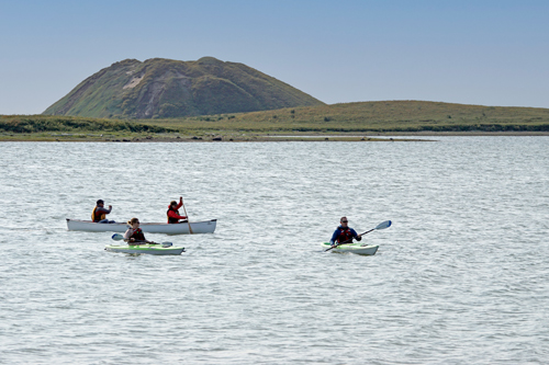
- Take a boat tour of the pingos.
- Dip your toe in the Arctic Ocean at the End of the Road, or better yet, jump in for a swim!
- Pay a visit to an authentic sod house reconstructed in the middle of Tuk.
- Enjoy a seaside meal at Grandma's Kitchen.
- Ask yourself, how did all of these logs end up on the shores of a land with no trees? (Hint: The rivers brought them here.)
- Log some iNaturalist observations www.inaturalist.org
Day 4: Inuvik to Tuktoyaktuk (Highway 10)
Distance: 152 km (94.5 miles)
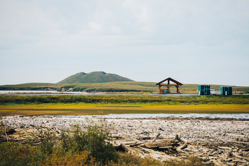
ITH Highway Starts (km 0): Driving North of Inuvik you will head to the Arctic Ocean coastline and the community of Tuktoyaktuk. This is a scenic drive with views of the Mackenzie Delta, Husky Lakes, and ,the end of the tree line. You will also drive into the Land of the Pingos, ice-cored hills that grow to between 3–70 m (10–230 ft) high and 30–1,000 m (98–3,281 ft) in diameter. They exist only in permafrost environments.
Sightseeing
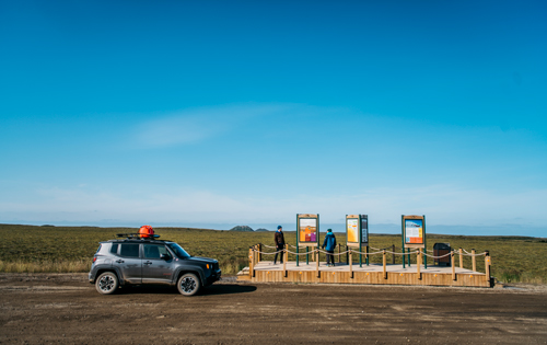
Pingo Pull Out (km 142): Take a break and learn more about the Pingo Canadian Landmark.
Pingo Canadian Landmark (km 145): Visit these unique landforms on the way to Tuktoyaktuk by stopping at the Pingo Day Use Area. Ibyuk, the largest pingo in Canada, is an impressive sight.
- Paddle from the Day Use Area to the boardwalk for some amazing views.
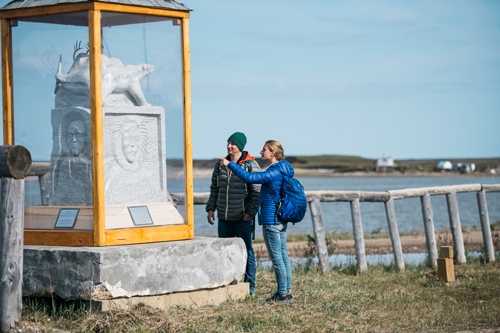
- View the large coin monument celebrating Inuvialuit culture and history
Tuktoyaktuk (km 152): “Place resembling a Caribou” Visit the famous "Arctic Ocean" sign, dip your toe in the Arctic Ocean, and explore this Arctic coast community.
Cultural Experiences: Explore the contrast between traditional and modern lifestyles. Learn more about the Inuvialuit language, traditional arts, crafts, dance, music, clothing, games, subsistence harvesting, and country foods. Local Indigenous operators can provide cultural tours of the community and surrounding area.
Things To Do:
Camping
Tuktoyaktuk Arctic Ocean Campground: Pitch your tent at the ocean’s edge and watch for the whales to swim by. 867-977-2286
Tips for Your Trip
Prepare for All Conditions: The weather can change quickly in the north; bring appropriate clothing and gear. Carry a spare tire!
Stopping along the Way: Sightlines can be obstructed, so only stop where vehicles can safely pass you and pull off as far to the right as you can.
Fuel Up: Fill your gas tank whenever you can, as stations are sparse. Dawson City, Klondike Corner, Eagle Plains, Fort McPherson, Tsiigehchic, Inuvik, and Tuktoyaktuk.
Repair Shops: Dawson City, Eagle Plains
Wildlife: Be cautious and respectful of wildlife on and near the road.
Check Road Conditions: The Dempster Highway can be rough; check for updates before your journey.
Enjoy your adventure through the stunning landscapes of the Yukon and Northwest Territories!
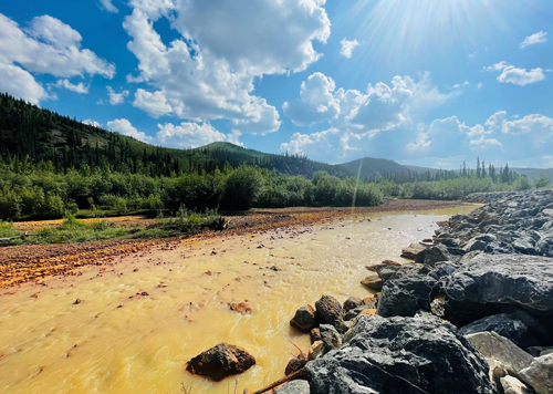
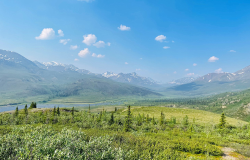
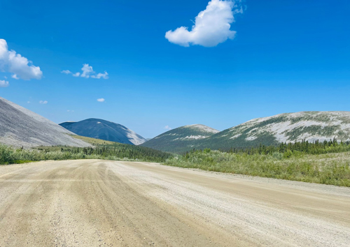
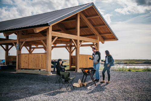
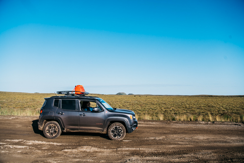
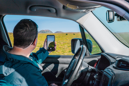
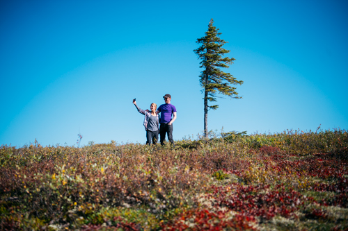
Road Trip Gallery
Trip Planning Links
Parks Canada
Northern Planning Guide https://parks.canada.ca/voyage-travel/region/nord-north
Email Us infoinuvik-inuvikinfo@pc.gc.ca
Yukon
Travel Yukon
https://www.travelyukon.com/en/see-and-do/itineraries/dempster-highway-road-trip-itinerary
Dempster Highway https://www.dempsterhighway.com/
Yukon Road Conditions https://511yukon.ca/
Northwest Territories
Dempster Highway
https://www.dempsterhighway.com/
https://www.youtube.com/watch?v=-_ag0aAKz-Q
Spectacular NWT https://spectacularnwt.com/
NWT Parks (including Campgrounds)
https://www.nwtparks.ca/plan-your-trip/road-trips/dempster-highway
NWT Road Conditions
https://www.dot.gov.nt.ca/Highways/Highway-Conditions?fbclid=IwAR0-DdQVqXqJ3kcqpl6V1d2HztJytAAJGfLZPlamfRL7wY1WeQViIe5Bx2M
RV Rentals
CanadDream
https://www.canadream.com/planning-your-dempster-highway-road-trip/
Blogs
There are many bloggers who have documented their adventures. This will give you a first hand experience of the region and what others have for helpful tips and advice.
- Date modified :