

On-site photography
The Forks National Historic Site
Commemorate your special memories at a Parks Canada administered site! The Forks is the perfect backdrop for your wedding, grad or family photos.
To find out more and to request a quote, please fill out our online form.
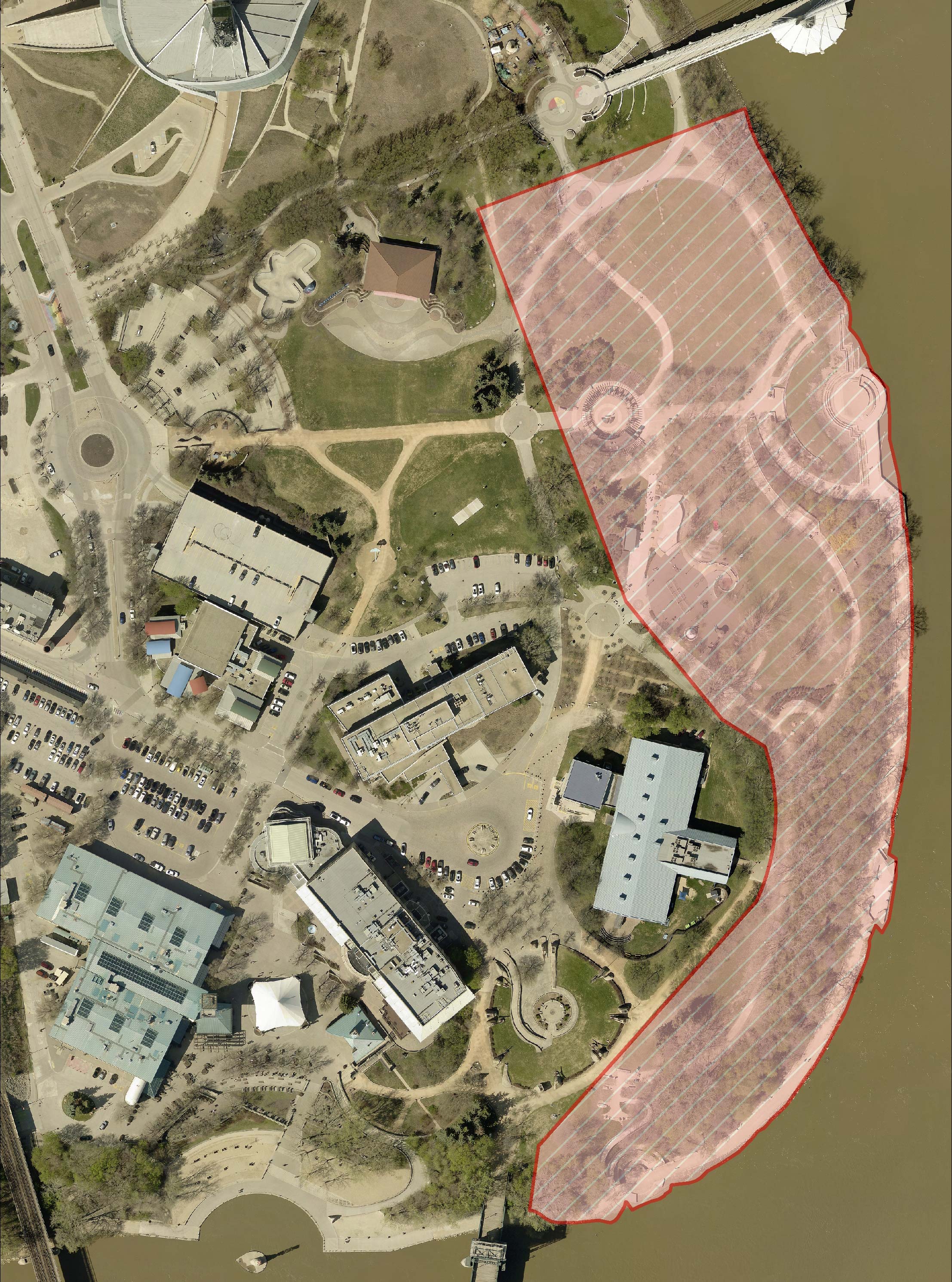
Bookable locations include the Amphitheatre, Orientation Circle, and walkways on The Forks National Historic Site grounds. The map shows the boundaries of Parks Canada administered space.
Locations such as the CN Stage, Johnston Terminal and The Forks Market are managed by Forks North Portage Corporation.
- Date modified :