
Windsor, Ontario: candidate national urban park
Parks Canada is working with partners to explore the potential for a national urban park in Windsor, Ontario.
Pre-feasibility report for Windsor, Ontario
Windsor, Ontario: candidate national urban park pre-feasibility report.
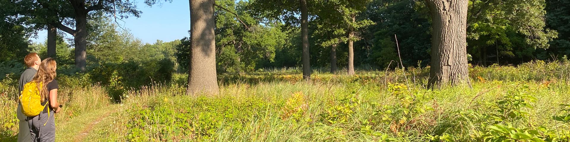
Safety and guidelines at Ojibway Shores
Visitor guidelines, prohibited activities, hazards, and safety information.
- Date modified :