
Geology
La Mauricie National Park
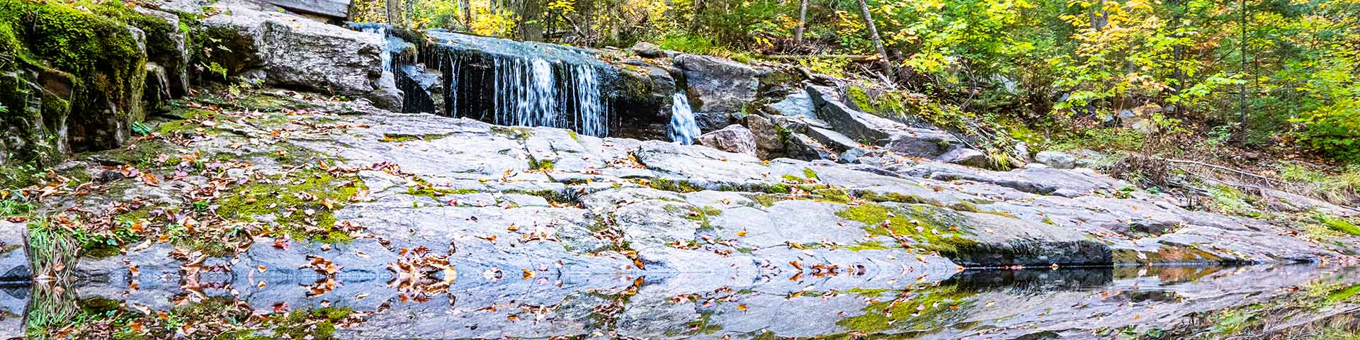
La Mauricie National Park occupies the southern margin of the Canadian Shield and links this land mass with the lowlands of the St. Lawrence Valley. The park lies on a plateau sloping slightly from West to East, broken up by hills and valleys that create areas of rugged landscape. Generally speaking, the level of the land increases from East to West, rising from 150 m to slightly over 500 m.
Although the bedrock is not very apparent, since it is buried under thick surface deposits and dense ground cover, it is nevertheless rather interesting. The park forms part of Grenville Province, the most recent of the seven geological provinces that make up the Precambrian Canadian Shield.
The rocky soil is made up almost exclusively of metamorphic rock. It was formed deep below the earth by high temperatures and enormous pressures, then brought to the surface 955 million years ago when the earth's crust thrust upwards and the Laurentian mountains broke through its surface. The mountains thus formed were probably as high as today's Himalayas, but have eroded away over hundreds of millions of years.
Then, over the last million years, the landscape of the area was changed by the passing of a number of continental glaciers that covered North America as far down as the latitude of New York. These glaciers, which were one to two kilometres thick, flattened out the landform and dug deeper into the valleys, leaving rock debris behind. They significantly altered the network of water drainage systems and created a multitude of lakes. The last Ice Age was at its most intense 25,000 year ago and disappeared from the park area about 12,000 years ago.
With the withdrawal of the glacier, the Champlain Sea (spreading in from the Atlantic Ocean) reached the lowest parts of the park. This marine invasion, which lasted over 2,000 years, was responsible for the formation of the clayish marine terraces that can be seen along the Saint-Maurice River.
Related links
- Date modified :