
Rediscovering History with restoration
La Mauricie National Park
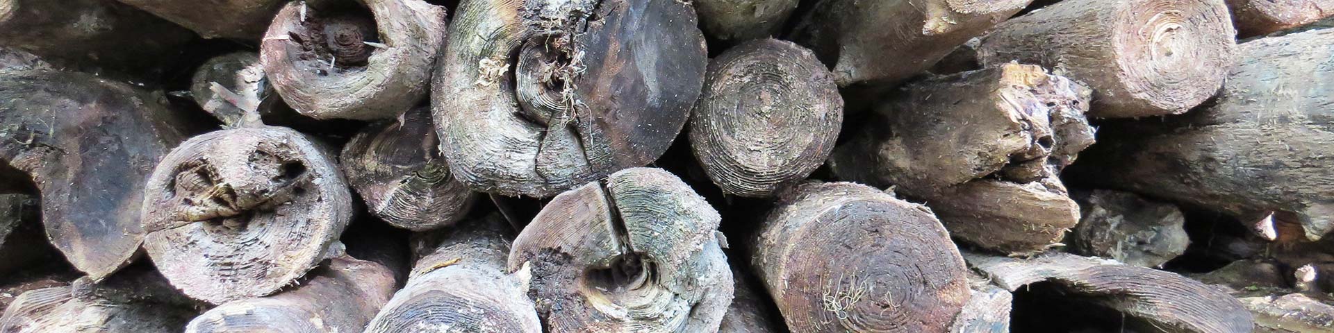
Rediscovering History Through Logs
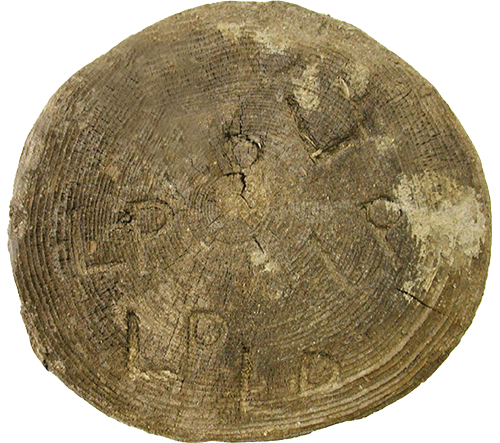
We can learn a lot from the logs removed from the lakes and dam structures, especially with dendrochronology, a method for dating trees by studying the growth rings in their trunks. Every year, the tree grows a new ring. These rings vary, however, since their growth can be affected by different environmental factors, such as climate and insect epidemics. By collecting tree samples originating from the same region, a chronological sequence over several centuries can be pieced together.
The year a tree was felled can also be determined by comparing its growth ring pattern to a reference series of La Mauricie National Park. Data we collected revealed notably that logging on white pines began at Isaïe Lake in 1800. Moreover, the oldest dam on the Park’s territory was likely erected around 1827 at Wapizagonke Lake, a half-century earlier than its first known mention in the archives.
Restoring ecosystems to improve paleohistoric knowledge
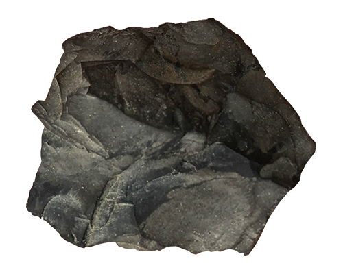
With the discovery of artifacts along the shores of lakes where water levels were restored, Parks Canada archaeologists have confirmed the existence of two previously submerged Indigenous occupation sites. These discoveries include a chert biface preform and several debitage fragments, which tell us about the knapping techniques of lithic tools in these places. On one hand, some of the materials used, such as quartz and some chert, likely come from local sources. On the other, the discovery of artifacts made from imported raw materials, such as Mistassini quartzite, confirms the existence of trade networks, contact, and travel between Indigenous groups.
These new archaeological sites are the first outside the corridor formed by Wapizagonke, Anticagamac, and Caribou Lakes. This points to the presence of Indigenous peoples further east on the Park’s territory than previously documented. These discoveries are a wonderful opportunity to document the different paleohistoric settlements within the Park’s current boundaries. The lake restoration project therefore allows us to restore both ecological and commemorative integrity.
- Date modified :