
Central Trail
Rouge National Urban Park
![]()
![]()
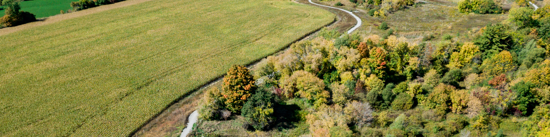
This section of trail winds along hedgerows, with views of agricultural and urban landscapes. Following the Katabokokonk creek, and then the Little Rouge creek, hear the sounds of ever-present water.
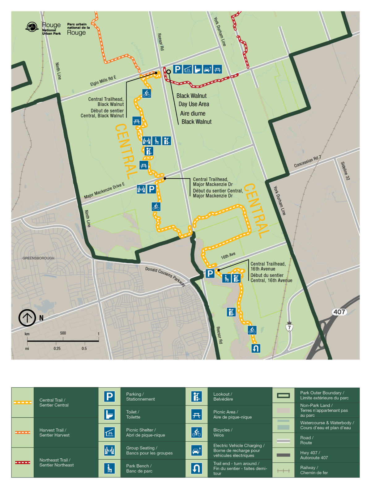
| Location | Locations are listed from north to south Black Walnut Day Use Area 7445 Elgin Mills Rd E, Markham Lat: 43.937775, Long: -79.2239 Google Maps Major Mackenzie Trailhead 7322 Major Mackenzie Drive East, Markham Lat: 43.91878, Long: -79.22343 Google Maps 16th Avenue Trailhead 7741 16th Avenue, Markham Lat: 43.90279 Long: -79.21139 Google Maps |
| Difficulty |
Easy Surface condition: compacted granular |
| Distance |
10.5 km total (one way)
|
| Time |
3 hours total (one way)
|
| Washrooms |
Available at Black Walnut Day Use Area |
| Parking | Limited free parking is available all year at each location listed above |
Trail Features
- Seating nodes – Take a break and enjoy the views over the calming agricultural fields, wetlands and meadowlands
- Restored wetlands/forests – Walk through restored wetland, woodlots and meadows
- Historic laneway – Walk alongside a historic maple laneway from the time of early settlers
- Bridge and boardwalks – Walk over a bridge over Katabokokonk creek and traverse over seasonally wet areas on boardwalks

- Picnic area – Pack your lunch in a reusable container, as this trail has the perfect picnic area that overlooks the Katabokakonk creek just north of Boyles cemetery
Trail Map
- Date modified :