
Research priorities
Georgian Bay Islands National Park
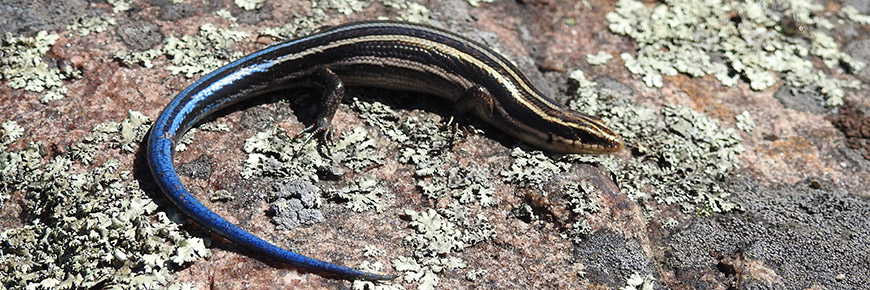
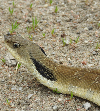
Georgian Bay Islands National Park straddles two natural bioregions and forms a core protected area within the Georgian Bay Biosphere Reserve. The park protects 50 islands and properties covering a total area of 14km2. The park has 25 species-at-risk. The park is located near Honey Harbour, Ontario and can only be accessed by boat. The main island of the park, Beausoleil Island, is designated as a national historic site and protects a significant cultural landscape. The park has currently 13 known archaeological sites that demonstrate human activity and settlement on the island from the late Paleo-Indian period to the present day. Park research priorities are derived from needs identified in the Park Management Plan (an updated plan is scheduled for completion in 2022), the Multi-species Action Plan along with other key documents. Please read Parks Canada’s research permit requirements for details on the research permitting process. Parks Canada works closely with Indigenous groups across the country. In the spirit of reconciliation and with acknowledgement of land and water rights, research in Georgian Bay Islands National Park is conducted in cooperation with the Cultural Advisory Circle comprised of representatives of the Chippewas of Beausoleil First Nation, Chippewas of Rama First Nation, Chippewas of Georgina Island First Nation, Wasauksing First Nation, Potawatomi of Moose Deer Point First Nation, Wahta Mohawks, the Georgian Bay Métis Council and the Georgian Bay Native Friendship Centre. Research projects may also incorporate Indigenous traditional knowledge components, Indigenous worldviews, ethics, values and processes. The Parks Canada Research Coordinator will assist in making connections with Indigenous groups.Priority Research Interests
Key Research Priorities:
Working with Indigenous Partners
Support Offered to Researchers
Supplementary Research Interests
- Determining the impact of Great Lakes water level fluctuations on the Georgian Bay shoreline ecosystem and development of a coastal wildlife corridor concept for evolving species refugees.
- Great Lakes lake level fluctuation cycles vary from short-term (6-22 years) to long-term (25-60 years). This can also be explained independently from climate variables and other anthropogenic factors. What is the dynamic multi-spatial geomorphic that can be applied to calculate the equilibrium and contribute to forecasting lake levels.
- Examine the feasibility and development of winter wildlife monitoring by using drone-based FLIR (thermal camera) integrated with high-resolution video to potentially monitor the post-hibernation movement of herpetofauna.
- Develop a framework for effective integration of physical, biotic, and societal factors to support a sustainable ecological restoration approach where science and practice are functionally aligned, interim monitoring is feasible, and conservation practice is enduring.
- When, where, and how to re-naturalize the coastal shoreline to build climate resiliency. framework with multiple spatial scale resolution.
Contact Information:
Dr. Prabir Roy, Research Coordinator
Address: 901 Wye Valley Rd., Box 9, Midland, ON, Canada L4R 4K6
Email: Dr. Prabir Roy
Phone: (705) 527-7256
- Date modified :