
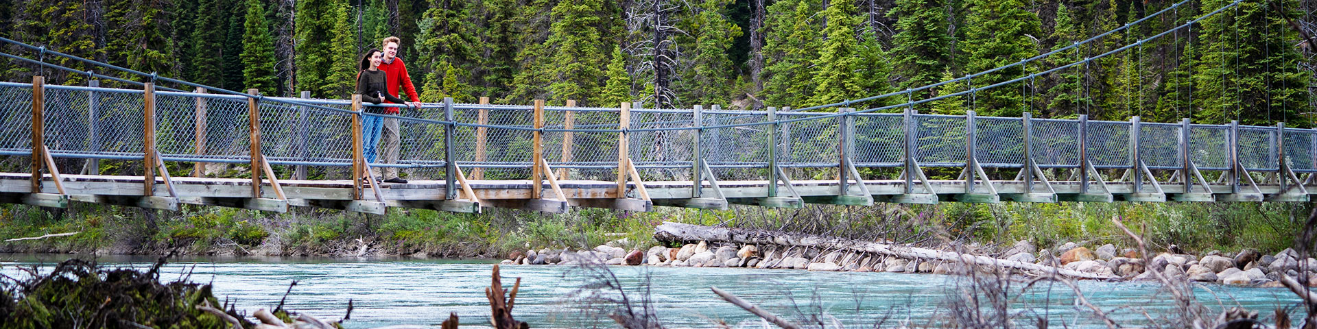
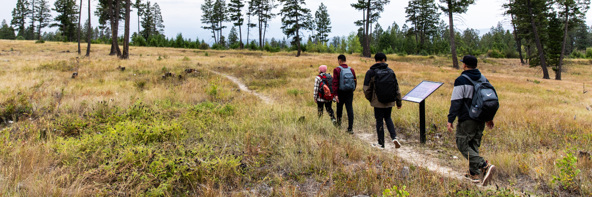
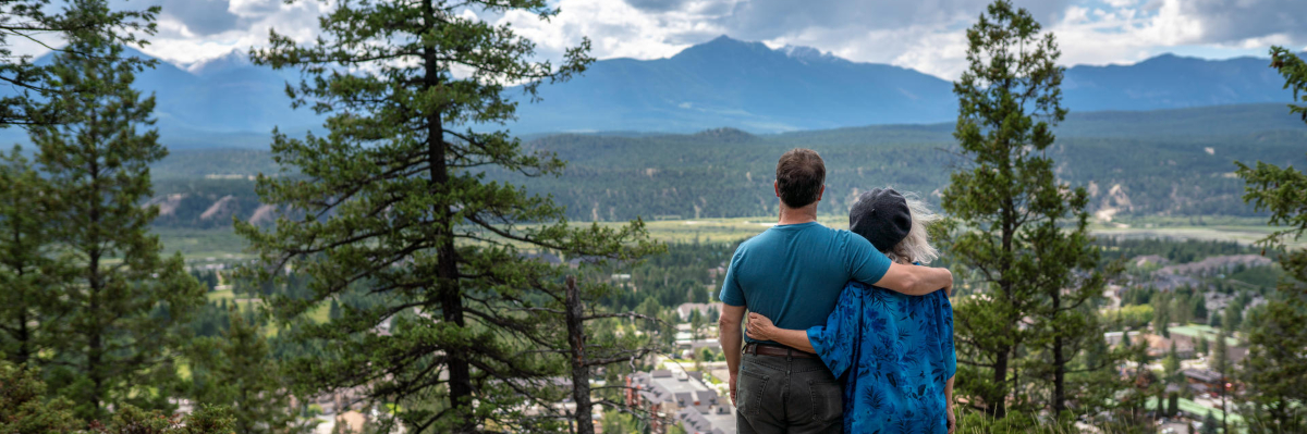
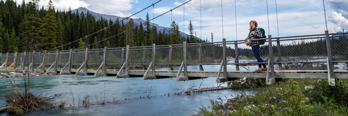
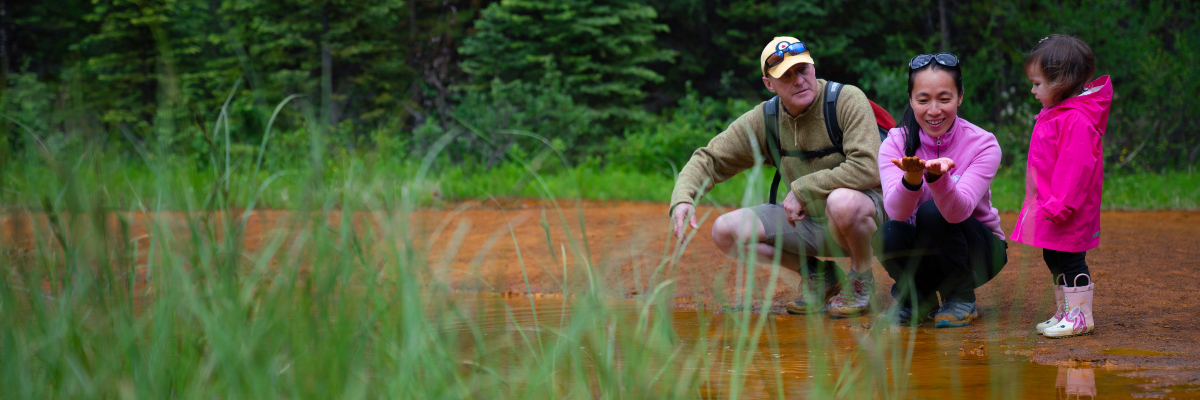
Short hikes and walks
Kootenay National Park
Take a break from the drive and enjoy a short hike or walk in Kootenay National Park. Interpretive trails allow you to learn about the unique mountain habitat while experiencing it first hand. Choose the trail that is right for you.
Hiking in Kootenay National Park
Short hikes and walks in Kootenay National Park
| Trail | Distance (one way) |
Estimated time (return) | Elevation gain* | Elevation loss* |
|---|---|---|---|---|
 Juniper / Sinclair Canyon Juniper / Sinclair Canyon |
2.8 km | 2 hours | 350 m | 260 m |
| Redstreak Campground |
2 km | 1.5 hours | 195 m | 215 m |
| Redstreak Loop |
1.8 km loop | 45 minutes | 150 m | 150 m |
| Letwilc7úl̓ecw |
1 km loop | 20 minutes | 25 m | 25 m |
| Valleyview |
1.3 km | 45 minutes | 130 m | 10 m |
| Redstreak Creek |
2.3 km | 1.5 hours | 200 m | 30 m |
| Olive Lake |
0.3 km | 15 minutes | 5 m | 5 m |
| Cobb Lake |
2.7 km | 2 hours | 155 m | 260 m |
| Dog Lake |
2.6 km | 1.5 hours | 135 m | 70 m |
| Paint Pots |
1 km | 40 minutes | 35 m | 20 m |
| Marble Canyon |
0.9 km | 30 minutes | 65 m | 35 m |
| Marble Canyon to Paint Pots |
2.9 km | 2 hours | 65 m | 110 m |
| Fireweed Loops |
0.7 and 0.2 km loops | 30 minutes | 15 m | 65 m |
*Note: On most hiking trails you will gain and lose elevation before you reach your destination. Elevation gain represents all the up and elevation loss all the down you will experience on a one-way hike.
Thanks to an ongoing collaboration between Parks Canada and Google, you can now explore some Kootenay National Park highlights using Street View for Google Maps.
Trail descriptions
 Juniper - Sinclair Canyon
 Juniper - Sinclair Canyon
 Juniper - Sinclair Canyon
Length (one way): 2.6 km
Estimated time (return): 2 hours
Elevation gain: 350 m | Elevation loss: 260 m
Trailhead: Parking area just inside the park's West Gate; OR above the Radium Hot Springs Pools main parking lot.
Habitat: Arid and cedar forests, canyon, and creek
Description: A scenic trail through open Douglas-fir forest along the edge of Sinclair Canyon. Features views of the Columbia Valley and verdant Sinclair Canyon falls.
Redstreak Campground
Redstreak Campground
Length (one way): 2 km
Estimated time (return): 1.5 hours
Elevation gain: 195 m | Elevation loss: 215 m
Trailhead: “H” Loop of Redstreak Campground OR Radium Hot Springs Pools.
Habitat: Cool, moist forest connecting the hot pools and campground.
Description: An easy walk through a cool, wet forest from the campground to the hot springs.
Redstreak Loop
Redstreak Loop
Length (one way): 1.8 km
Estimated time (return): 1.5 hours
Elevation gain: 150 m | Elevation loss: 150 m
Trailhead: “E” Loop of Redstreak Campground
Habitat: Open forest, rocky bluffs, views over the valley.
Description: Sunny exposure and clear views across the Columbia Valley to the Columbia Mountains outside of the park.
Letwilc7úl̓ecw
Letwilc7úl̓ecw
(pronounced Led‐wheel‐oo‐loo)
Letwilc7úl̓ecw means “getting better place” or “healing place” in Secwepemctsín, the language of the Secwépemc People. The name was decided upon by the Shuswap Band community in 2023 and represents the many medicinal and healing plants found in the area.
Length (one way): 1 km loop
Estimated time (return): 20 minutes
Elevation gain: 25 m | Elevation loss: 25 m
Trailhead: Access from Redstreak Campground. Take the first right after the entrance. Parking lot is on the right.
Habitat: Grassland restoration area, watch for bighorn sheep.
Description: Walk through a meadow that has been restored by fire. Discover Secwépemc uses of medicinal plants along this interpretive trail.
Valleyview
Valleyview
Length (one way): 1.3 km
Estimated time (return): 45 minutes
Elevation gain: 130 m | Elevation loss: 10 m
Trailhead: Redstreak Campground entrance, 2.5 km east of Radium Hot Springs; OR parking area 1 km before the campground entrance; OR behind the Kootenay National Park Visitor Centre.
Habitat: Douglas fir forest, grassland, watch for sheep.
Description: A steep trail connecting the village of Radium Hot Springs with Redstreak Campground. Rewarding views of the Columbia Valley.
Redstreak Creek
Redstreak Creek
Length (one way): 2.3 km
Estimated time (return): 1.5 hours
Elevation gain: 200 m | Elevation loss: 30 m
Trailhead: Small parking area on the south side of Highway 93 South, 6 km east of Radium Hot Springs.
Habitat: Douglas fir forest with an interesting blowdown.
Description: A peaceful, forested path. Ideal in the early season and in the fall when the leaves are changing colour.
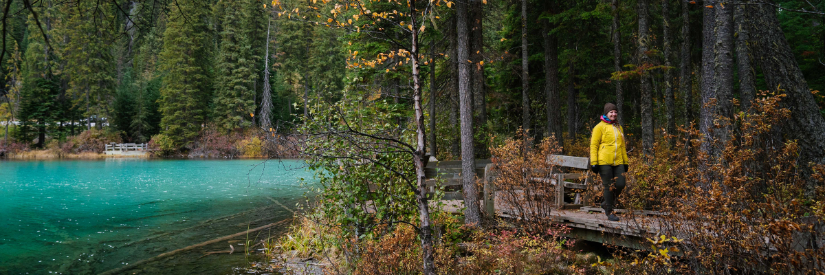
Olive Lake
Olive Lake
Length (one way): 0.3 km
Estimated time (return): 15 minutes
Elevation gain: 5 m | Elevation loss: 5 m
Trailhead: Olive Lake Day-use Area, 12 km north of Radium Hot Springs.
Habitat: Forest, small lake and a boardwalk.
Description: A short interpretive loop and boardwalk around a small, quiet lake.
Cobb Lake
Cobb Lake
Length (one way): 2.7 km
Estimated time (return): 2 hours
Elevation gain: 155 m | Elevation loss: 260 m
Trailhead: Cobb Lake parking lot, 17 km east of Radium Hot Springs.
Habitat: Pleasant lake at the end of a forest trail.
Description: A forested trail which descends to Swede Creek then ascends briefly to a small lake encircled by forest.
Dog Lake
Dog Lake
Length (one way): 2.6 km
Estimated time (return): 1.5 hours
Elevation gain: 135 m | Elevation loss: 70 m
Trailhead: Dog Lake Day-use Area, 28 km north of Radium Hot Springs.
Habitat: Beautiful lake in an area of high wildlife activity.
Description: Cross two bridges over the Kootenay River and meander through old-growth forest. Pack a lunch to enjoy at the lake while you gaze up at the peaks of Mount Daer and Mount Harkin.
Paint Pots
Paint Pots
Length (one way): 1 km
Estimated time (return): 40 minutes
Elevation gain: 35 m | Elevation loss: 20 m
Trailhead: Paint Pots parking lot, 86 km north of Radium Hot Springs.
Habitat: Culturally significant ochre deposits. Watch for bears.
Description: A gentle walk takes you to three iron-rich mineral springs that stain the surrounding earth. Come prepared for muddy trail sections.
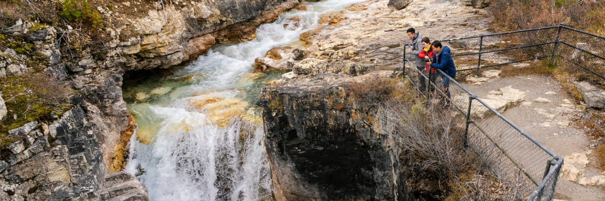
Marble Canyon
Marble Canyon
Length (one way): 0.9 km
Estimated time (return): 30 minutes
Elevation gain: 65 m | Elevation loss: 35 m
Trailhead: Marble Canyon parking lot, 89 km north of Radium Hot Springs.
Habitat: Limestone gorge, burnt forest, many small mammals.
Description: Hike along the rim of the canyon. Look down from one of the many bridges at smooth limestone rock and impressive ice formations in the winter. Relax in the Red Chairs at the end.
Marble Canyon to Paint Pots
Marble Canyon to Paint Pots
Length (one way): 2.9 km
Estimated time (return): 2 hours
Elevation gain: 65 m | Elevation loss: 110 m
Trailhead: Marble Canyon parking lot, 89 km east of Radium Hot Springs OR Paint Pots parking lot, 86 km east of Radium Hot Springs.
Habitat: Mature and burnt forest, with riverside sections. Watch for bears.
Description: Pass through a mix of mature and burnt forest to connect between the two points of interest. The trail parallels the Vermilion River.
Fireweed Loops
Fireweed Loops
Length (one way): 0.5 and 0.7 km loops
Estimated time (return): 30 minutes
Elevation gain: 15 m | Elevation loss: 65 m
Trailhead: Continental Divide parking area, 96 km north of Radium Hot Springs.
Habitat: Forested trails through an old burn. Watch for small mammals.
Description: Walk through a quiet, shaded forest. The Vermilion Pass wildfire swept through this area in 1968. Can you spot any marks left by this fire?
Related links
- Date modified :