
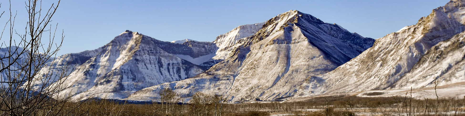
Bertha-Townsite avalanche area
Waterton Lakes National Park
Bertha-Townsite avalanche advisory
(updated daily)
Changes in avalanche frequency since the Kenow Wildfire
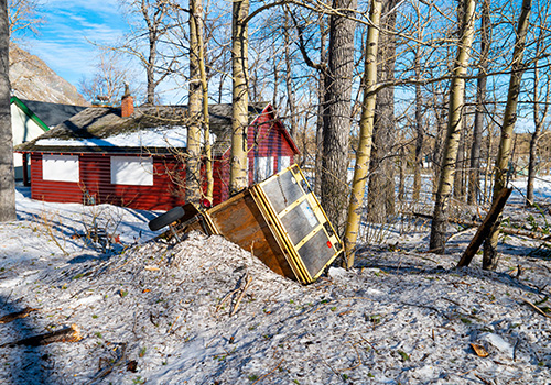
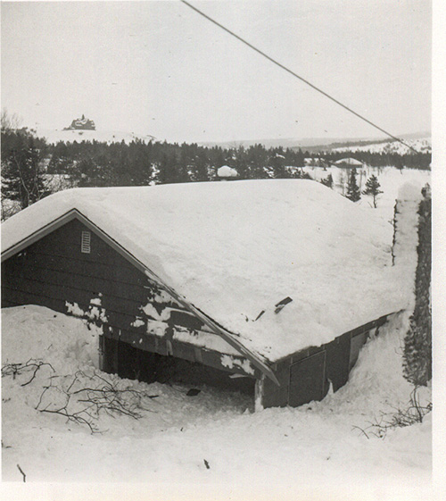
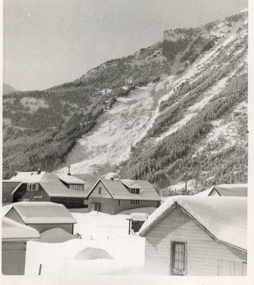
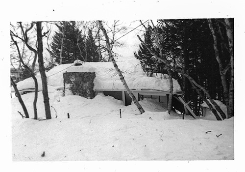
There has been an increase in the frequency and severity of avalanches on Bertha Peak in the years since the Kenow Wildfire. These avalanches cross popular trails and have the potential to affect structures in areas adjacent to Evergreen Avenue south of Cameron Falls.
Area management and information
The Bertha-Townsite avalanche area will be closed to all unauthorized vehicle traffic during avalanche season. Pedestrian entry is permitted, but not recommended in the portion of Waterton townsite beneath Bertha Peak due to significant avalanche danger.
Parks Canada monitors Bertha-Townsite avalanche area conditions daily and updates the avalanche advisory accordingly during avalanche season. This advisory is for this area only.
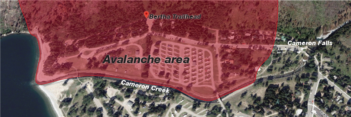
The area includes a portion of the Waterton townsite: Evergreen Avenue, Columbine Avenue, the lane at the base of Bertha Peak. The trailhead and first kilometre of the Bertha Falls/Lakeshore trail, as well as the western section of the Townsite Campground and all other parking and visitor areas, are also included in this area. If continuing on Bertha trail or in other backcountry areas, consult the broader avalanche bulletin. Know before you go.
A history of avalanches
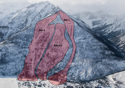
Bertha Peak has multiple avalanche slide paths. Over the last 100 years, dozens of slides have occurred, and in several cases have damaged or completely destroyed houses and infrastructure. Several large slides have occurred since 2017 and avalanche paths have broadened as a result.

Staying safe in avalanche terrain
You are responsible for your own safety in avalanche terrain. If you are entering this area or other avalanche terrain in Waterton Lakes National Park, you are entering at your own risk. Visit our Winter Safety page for resources on safe winter travel.
Related links
- Date modified :