
Activities and experiences
Banff National Park
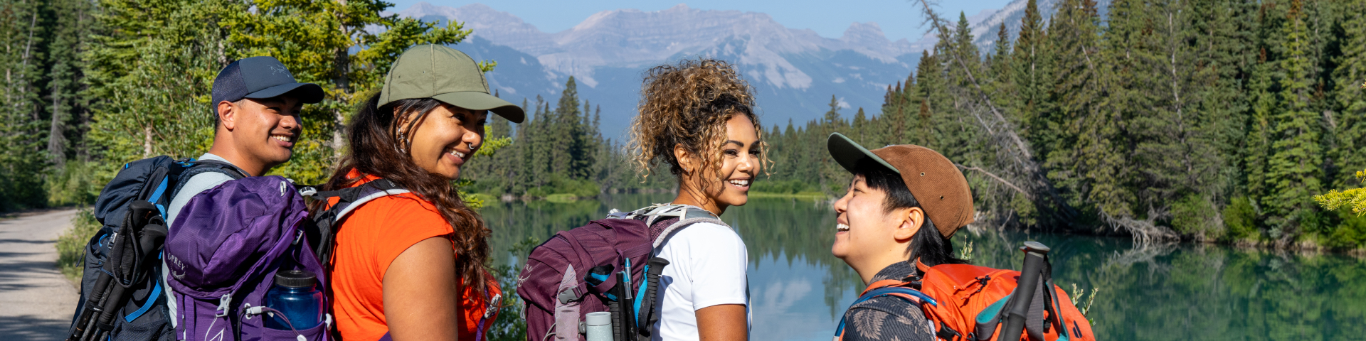
Trails, lakes and mountainscapes! Whether you are seeking outdoor adventure, cultural experiences, or relaxation, Banff National Park offers something for everyone. Be sure to plan ahead and check conditions before you go.
Effective July 30, 2026 at 12:00 pm until further notice: A fire ban is in effect for all areas of Banff National Park due to elevated fire danger.
Canada Strong Pass
Free admission and 25% off camping and overnight stays with Parks Canada is in effect from June 19 to September 7, 2026.
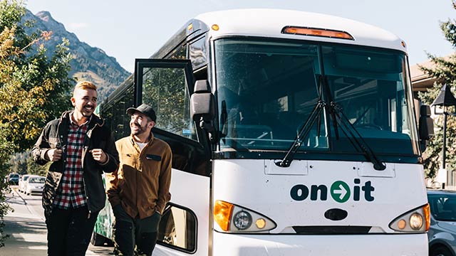
How to get here
The best Banff National Park experience happens when you step out of your vehicle and explore the park!
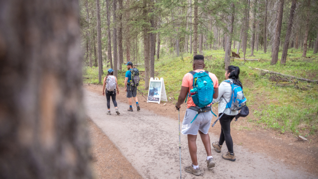
Hiking
Watch the sunset on a riverside stroll or feel the breath of glaciers in the alpine. Take your pick of over 1,600 kilometres of maintained trails.
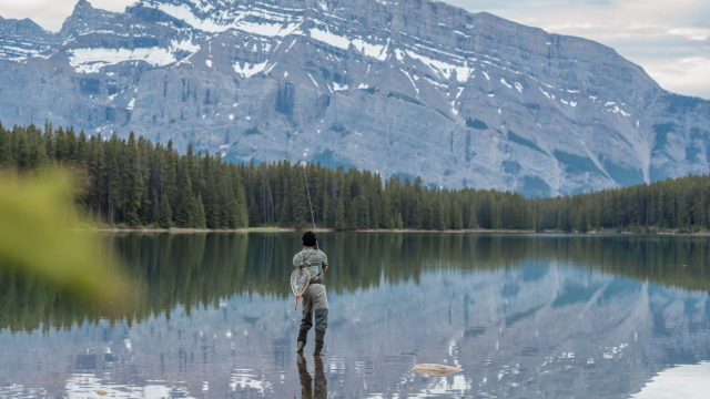
Fishing
Learn more about fishing permits, open season, closures, restrictions, and aquatic invasive species.
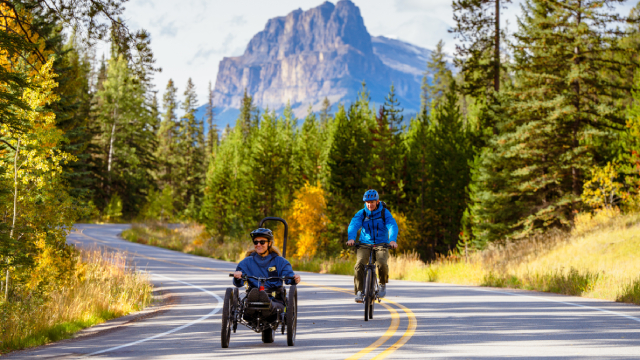
Biking
With more than 190 km of mountain bike trails and numerous road riding options, biking is an excellent way to explore Banff National Park.
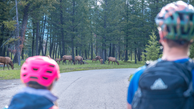
Safely view wildlife
Give all wildlife space when you visit Banff. Learn how to view wildlife from a safe distance.
Activities and learning experiences
Volunteer program
The Volunteer Program offers a range of opportunities to participate in learning and hands-on park stewardship activities.
Cave and Basin National Historic Site
Visitors can enjoy interactive exhibits, short films, seasonal activities, and stunning views of the Rocky Mountains.
Red chairs
Parks Canada has placed over 200 red Adirondack chairs throughout the country, including the 11 sets found here at Banff National Park.

The Parks Canada App
Your pocket guide to the essentials, easy to use navigation, and exclusive access to self-guided tours on your mobile device.
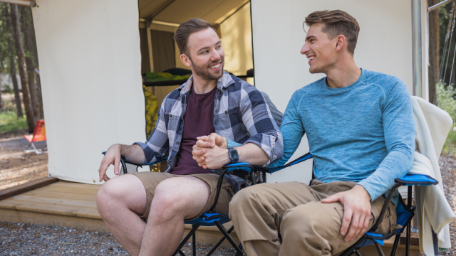
Camping and overnight accommodations
Things to do
- Date modified :