
Getting here
Lachine Canal National Historic Site
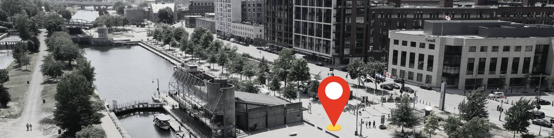
The Lachine Canal is located in the southwest of Montréal City. The canal banks and path are accessible by foot, bicycle, public transit or car. Its waterway is 14.5 km long and is accessible through Lock 1 in the Old Port of Montreal and Lock 5 in the borough of Lachine.
Get to Lachine Canal
By subway
- Square-Victoria for the Old Port Locks Area.
- Lionel-Groulx for the Atwater Market Area.
- Charlevoix for the Atwater Market Area and Saint-Gabriel Lock.
Cyclists please note that the Charlevoix station is only 100 metres from the canal bikepath. Contact Société de transport de Montréal (STM) to find out the times when you may take your bicycle on the metro.
By bus
- The Lachine Area is on the westbound route of the 195 bus, from the Angrignon metro station (schedule and route).
- The Peel Basin Area is served by the 61 bus southbound, from metro stations McGill and Square-Victoria (schedule and route) and the 107 bus southbound, from the Peel metro station (schedule and route).
- The Côte-Saint-Paul Lock Area is served by the 78 bus westbond from Lionel-Groulx metro station, stop at the corner of Saint-Ambroise and Saint-Rémi.
- The Saint-Gabriel Area is served by the 57 bus, from metro stations Guy-Concordia or Charlevoix.
By train
VIA Rail has regular train service to the Montréal Central Station train station. Once you arrive, click on the links below the map to plan your route.
By bike
To plan your bike route, click on the links below the map.
By car
If you are travelling by car to the Lachine Canal National Historic Site, click on the links below the map for driving directions to specific area of the canal.
Map
| Name | Description | Category |
|---|---|---|
| 1. Lock 1 | National historic site | |
| 2. Lock 2 | National historic site | |
| 3. Lock 3 | National historic site | |
| 4. Lock 4 | National historic site | |
| 5. Lock 5 | National historic site | |
| 6. Hangar 1825 | National historic site |
Get to Hangar 1825
Hangar 1825 is only accessible by foot or by bike via the path along the canal or the path starting at Des seigneurs street.
Parking
Only one paid parking lot is available at the Lachine Canal National Historic Site. It is located in the Peel Basin area, on Mill Street, under the Bonaventure Autoroute. In other sectors, parking is available on nearby streets.
Contact Us
For additional information, please contact us at 514-283-6054. or by email at infocanalqc@pc.gc.ca.
- Date modified :