Real property, occupation and development
Trent-Severn Waterway National Historic Site
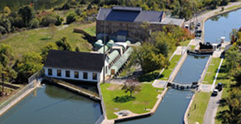
The Trent-Severn Waterway National Historic Site of Canada meanders for 386 kilometres across central Ontario to link Georgian Bay with the Bay of Quinte, through the Murray Canal, and hence to Lake Ontario. Through most of its length the navigation route of the Waterway consists of natural water courses connected through a series of engineering works including 36 conventional locks, 2 flight locks, 2 hydraulic lift locks and a marine railway. In addition there are numerous canal cuts, entrance piers and embankments along with dams of various sizes and types.
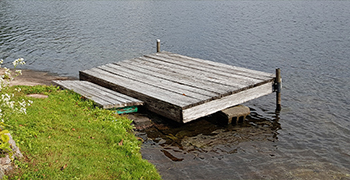
Waterway lands include the bed of the lakes, rivers and canal cuts that comprise the Waterway, as well as lockstations, various islands and other upland properties. These lands were acquired for the construction of the Waterway and are now primarily used for the operation of the Waterway, for natural and cultural resource protection, for public education and for a wide variety of visitor experiences. Certain Waterway lands are licensed or leased for municipal, commercial or private use. Policies and guidelines ensure that all such uses respect both cultural and natural values of the Waterway and provide those wishing to use the Waterway lands with the conditions under which their use is permitted.
The environmental health of the Waterway is also affected by activities on lands adjacent to the Waterway lands which are owned and managed by private and public landowners, First Nations or the Provincial Crown. These adjacent landowners are encouraged to share the Waterway’s principles for developing and managing in a sustainable manner, in order to protect the Waterway’s cultural and natural resources for future generations. Managing and protecting the Waterway, then, becomes a partnership between Parks Canada and these Waterway neighbours. Municipalities play a lead role in protecting shorelands through official plans and zoning by-laws. Current policies controlling development and use should be strengthened to fully recognize and protect the Waterway’s unique cultural, natural and scenic values, while allowing development and use that is compatible with these values.
- Date modified :
