
Geology
Sault Ste. Marie Canal National Historic Site
The red Jacobsville sandstone bedrock underlying the St. Marys River is still rebounding gradually upwards, released from the overwhelming weight of the ice of the last glaciation.
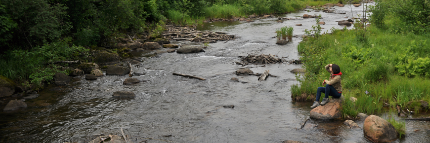
As you hike the Attikamek trail, located across the lock gates on South St. Marys Island, take note of a remarkable geological feature: the huge boulders called "erratics" in the stream below were left behind as the glaciers melted. The streamlet was dammed in 1888 and the dike upon which the trail rests was raised to provide the necessary headwater for power generation.
Related links
- Date modified :