
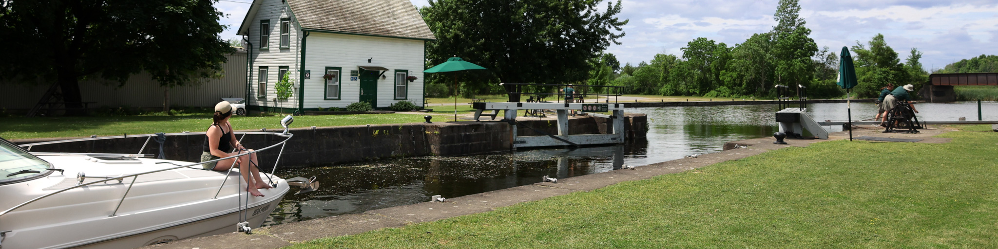
Smiths Falls Detached
Rideau Canal National Historic Site
Parks Canada advises that, due to a mechanical issue, the Detached (Abbott Street) Swing Bridge in Smiths Falls is moving to one scheduled bridge swing daily at 2:30 p.m. for the remainder of the navigation season, until October 12, 2026. The bridge will remain open to vehicles and pedestrians, except while the bridge is being swung for navigation. The daily 2:30 p.m. bridge swing is expected to take longer than usual. Waterway users and motorists should plan their travel accordingly and expect delays.
Smiths Falls Detached offers close access to all amenities and is a short walk from the Smiths Falls downtown core. There is a boat launch, and a distinctive feature of the Smiths Falls Detached lockstation is the raised bascule bridge (drawbridge).
How to get here
| Name | Description | Category |
|---|---|---|
| Smiths Falls Detached | 62 Lombard Street, Smiths Falls, Ontario | Location |
-
Directions
Navigational data
- Distance from Ottawa: 97.4 km (60.5 mi)
- Distance from Kingston: 104.7 km (65.1 mi)
- Nautical chart: #1512 (Sheet 3)
- Lock length: 40.8 m (134 ft)
- Lock width: 9.7 m (33 ft)
- Average lift: 2.6 m (8.5 ft)
Facilities and services
- Overnight mooring (2 nights max)
- Day use docking
- Camping
- Washrooms
- Barbecue grills
- Potable water
- Boat launch
- Picnic tables
- Parking
History
This canal town is named for Thomas Smyth, a Loyalist who in 1786 was granted four hundred acres in what is present-day Smiths Falls. At the time of canal construction a small settlement had been established around a mill operated by a local named Abel Russell Ward. Colonel By ordered the removal of Ward's mill to make way for the canal.
Read more history about this lockstationGoogle Street View
Related links
- Ottawa Locks
- Hartwells
- Hogs Back
- Black Rapids
- Long Island
- Burritts Rapids
- Lower Nicholsons
- Upper Nicholsons
- Clowes
- Merrickville
- Kilmarnock
- Edmonds
- Old Slys
- Smiths Falls Combined
- Poonamalie
- Lower Beveridges
- Upper Beveridges
- Colonel By Island
- Narrows
- Newboro
- Chaffeys
- Davis
- Jones Falls
- Brass Point Bridge
- Upper Brewers
- Lower Brewers
- Kingston Mills
- Date modified :