
Parks Canada and its partners are committed to long-term monitoring activities at the pingos.
Research and Monitoring
Pingo Canadian Landmark
The Pingo Canadian Landmark has been the focus of over 50 years of research, primarily in the area of permafrost features. Some of this work has led to the current theory of the origin and growth of pingos. Researchers have also gained valuable knowledge about the region's ecosystems by studying the ecological features of the landmark.
In addition to promoting research, Parks Canada and its partners have made a commitment, in the landmark's Memorandum of Agreement, to long-term monitoring for the following priorities:
- Tuktoyaktuk climate
- Split Pingo and Ibyuk Pingo elevational changes
- impacts of visitors and natural erosion on pingo and sensitive area vegetative cover
- active layer thickness
- visitor use
Much of what we currently know about pingos and many other permafrost features can be linked to the work of Dr. J. Ross Mackay. In a career spanning more than half a century, the Professor Emeritus in Geography at the University of British Columbia gained international scientific recognition for his research on permafrost environments.
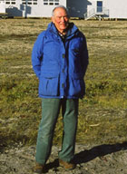
J. Ross Mackay
© Christopher Burn / August, 2004
Mackay's work in the western Arctic began in 1951. Over the next 4 decades he returned many times to study the permafrost features of the area. Both Ibyuk Pingo and the exposed bed of massive ice near Peninsula Point were studied extensively by Mackay.
Much of the current theory of pingo origin and development is the result of Mackay’s countless hours of fieldwork. Not only has this information been important in furthering our understanding of permafrost environments, but it will also be invaluable to future researchers studying topics such as climate change.
Societies and educational institutions around the world have recognized the work of Dr. Mackay. In addition to numerous awards and honourary degrees, Mackay was awarded the Order of Canada in 1982 and was the first recipient of the Centenary Medal for Northern Science in 1984.
-
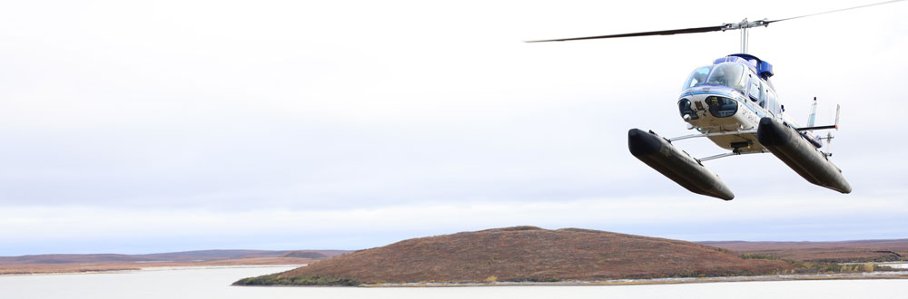
Unmanned Aerial Vehicle (UAV) Modelling of Ibyuk Pingo
In 2015, Natural Resources Canada flew a UAV over Ibyuk Pingo to monitor it and provide Parks Canada with digital surface models of the pingo.
The 12 minute mission was flown at 10 m/s (36 km/hr) at an altitude of 50 m above the top of the pingo. A total of 725 photos were captured at 1 second intervals. These models provide a baseline for monitoring the dynamics of the landmark.
Personal use of UAVs is prohibited.
Monitoring Cultural Sites
The Pingo Canadian Landmark provides opportunities to protect and interpret the cultural heritage of western Canada’s Arctic. In the operation and management of the landmark, Parks Canada recognizes Inuvialuit and pre-Inuvialuit heritage and presence in the landmark and surrounding areas.
Since 2000, Parks Canada has surveyed and inventoried the cultural sites within the landmark. The objective of this inventory is to document the physical evidence of human use of the area over time, including heritage sites as well as those representing recent use. A small number of interviews were also conducted with elders from Tuktoyaktuk.
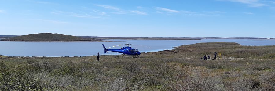
Parks Canada has surveyed and inventoried the cultural sites within the landmark to document the physical evidence of human use of the area over time. Here, a team on a 2019 monitoring trip.
- Date modified :