
How to get here
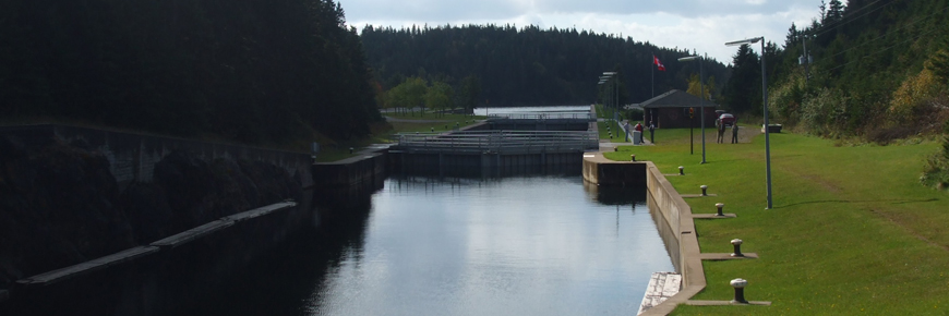
St. Peters Canal National Historic Site
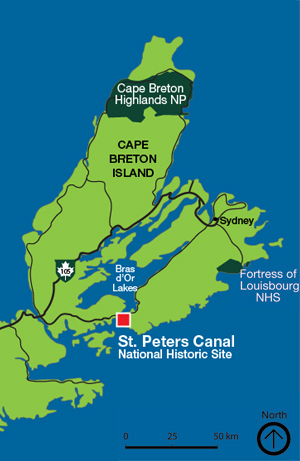
St. Peters Canal National Historic Site is located in the village of St. Peter's, 80 km southwest of Sydney, Nova Scotia, on Route 4.
From Port Hawkesbury, Nova Scotia:
Drive east through Port Hawkesbury and turn left onto NS-4 Trunk E. After 1.8 km, turn right onto NS-104 E toward St. Peter's (37 km). Continue through the village of St. Peter's until just before the swing bridge. Turn right onto Denys Street. At the end of Denys Street, turn left onto Toulouse Street.
From Sydney, Nova Scotia:
Drive southwest on NS-4 Trunk W, following it 81 km to St. Peter's. Just after the swing bridge, turn left onto Denys Street. At the end of Denys Street, turn left onto Toulouse Street.
GPS Users
Please use the following co-ordinates to get to St. Peters Canal National Historic Site
45.654398, -60.869451
Related links
- Date modified :