
CRM plans go awry
Lake Superior National Marine Conservation Area
By Lisa Sonnenburg
While most of Lake Superior National Marine Conservation Area (NMCA) is water, as part of cultural resource management (CRM) we also get out onto the islands to find and document the area’s fascinating human history. Any work, whether on land or underwater, requires months of meticulous planning. However, to quote Robert Burns: “the best-laid plans of mice and men often go awry”; and then what do you do?
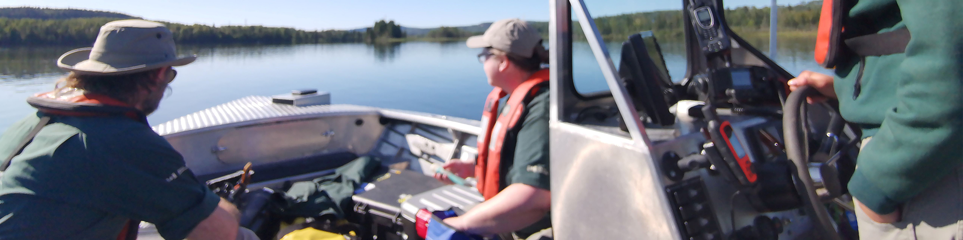
In 2023, we were scheduled to do a two-week intensive archaeological survey of the western portion of the NMCA with our national terrestrial archaeology team. We had booked our boat and crew, and planned to stay at Porphyry Island, where we were all looking forward to spending time in a beautiful place with such rich history. Then, just a few weeks before our start date, I found out that the archaeology team wouldn’t be able to travel to Lake Superior that summer.
So, what is an intrepid cultural resource management advisor supposed to do? Fortunately, my great teammates stepped up to help! After a rapid revision of plans, we decided to combine some needed resource conservation work with our cultural resource assessment and were able to spend those two weeks getting valuable data collected. We still spent time on Porphyry Island, where I was able to get some great remote operated vehicle (ROV) footage, as a bonus! While we didn’t find anything unexpected, or unusual, we collected great airborne drone and underwater ROV imagery, revisited some previously documented sites to make sure they were in good condition, 3D scanned areas we missed last year, and found a few spots that we will want our national office colleagues to look at when they return. One of our more interesting discoveries was finding the submerged remains of a train derailment by matching some historic photos to the modern landscape. Watch the Lake Superior NMCA Facebook channel for a future video talking about how we tracked down this wreck, which will feature some great underwater footage from our very own Ursula ROV and her new camera!
So even with a last-minute change of plans, we were able to pivot and still make the most of the situation. Now, my job is to analyze all that data to look at ways to improve how we do things, and of course, start planning for next year’s cultural resource management fieldwork. All the information we collect will inform the development of a cultural resource management strategy for the site, to be developed in collaboration with local communities and partners. Even if plans end up going awry again, after this year, I know I have a great team of people who can help me continue to document and protect the shared cultural history of Lake Superior.
Back to shoreLINES
- Date modified :