
Topographic Maps
Kluane National Park and Reserve
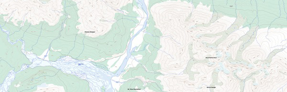
Topographic maps at a scale of 1:250,000 and 1:50,000 are available for all areas of Kluane National Park and Reserve. Topographic maps can be obtained from:
- Park Visitor Centres in limited supply
- Natural Resources Canada
1:250,000
Three sheets cover the entire park at the 1:250,000 scale:
Map Name (Map Number)
Area Covered
-
Dezadeash (115A)
Southeast portion of the park -
Mt. St. Elias (115B &115C)
Icefields (southwest) -
Kluane Lake (115G & 115F)
Northeast portion of the park
1:50,000
For any trips involving route finding, travellers should use 1:50,000 scale topographic maps. To order the specific map sheets relevant to your hike or trip, you need to know where you will be traveling. The maps required are listed on the trail and route descriptions found in the Hiking section. Maps for the Alsek River can be found in the Rafting the Alsek River section.
- Date modified :