
Weather and marine hazards
Gwaii Haanas National Park Reserve, National Marine Conservation Area Reserve, and Haida Heritage Site
Weather
-
Local Marine Forecasts (Environment Canada - West Coast, British Columbia).
- Current Conditions (Environment Canada - Sandspit, British Columbia).
Weather changes quickly
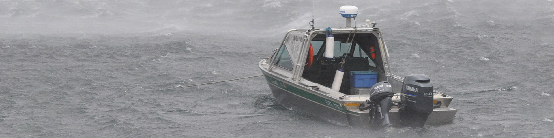
Even on beautiful days remember that the weather can change quickly in Gwaii Haanas.
Be aware of both the marine weather forecast and your own observations of the conditions. You may be used to listening for small craft warnings, but the north coast is considered hazardous for small craft at all times so a small craft warning is always in effect and is not issued on the weather forecasts.
Be prepared for cold and wet conditions any time of year.
- Hypothermia is a real threat. Learn to monitor and manage your body temperature, avoid extremes (hot/cold). Monitor yourself but also others in your group ensuring that everyone is in keeping with their own abilities.
- Summer fog is common on the west coast and in Houston Stewart Channel. Always take a compass bearing of your destination. Avoid paddling and boating in the fog.
- Plan alternate routes for each day in case the weather deteriorates. It is best to not be too focused on reaching a certain destination. If you have concerns about the conditions on the water stay ashore or in a protected anchorage.
The Wild West Coast
The west coast of Gwaii Haanas is frequently hit by storms that brew across the long stretch of open Pacific Ocean between here and Japan. It is one of the windiest and wettest areas in Canada.
The west coast is steep rocky shoreline and there are few sheltered places to anchor. There are sections of west coast that remain uncharted. The west coast is a destination for some people but unless you are very experienced in coastal navigation, avoid travel on the west coast.
Climate
The climate of the Islands is typical of British Columbia’s outer west coast—cool and wet virtually any time of the year. The driest months are usually from spring through summer but weather patterns vary from year to year. The rainy season can begin as early as August. The east side of the Islands is considerably drier than the west, which receives between 500 and 800 centimetres of rain a year.
Winds in the summer can blow strongly for lengthy periods. These winds funnel over the Islands and down inlets of the East Coast creating gusty conditions that can be hazardous, especially for kayaks. Storms associated with frontal systems occur frequently in winter, but are not uncommon in the summer months. Build enough time in your travel plans to include days of being “weathered in.”
Marine Hazards

Use charts and tide tables © Parks Canada / J. Bissett
The best way to avoid dangerous situations is to be aware of and be prepared for the conditions and hazards that you may encounter. Make sure you have the right charts and tide tables.
Big Tide Country
We have extreme tides in Gwaii Haanas - up to 24 feet (more than 7 meters) tidal variation. The big tides have significant implications for safety and navigation. When the tide rushes through narrow inlets and channels, the water speeds up and results in significant tidal currents. Houston Stewart Channel, for example, can have currents up to 5 knots.
The tides also make accessing certain areas difficult. Access to Windy Bay, for example, is very shallow. Kayakers are advised to arrive and leave on a higher tide.
Windy Bay, like many other bays and heads of inlets, is shallow and rocky. The rocks that you see clearly at low tide are not as visible at high tides, so pay attention to water depth when exploring. There are prevailing SE and SW winds at Windy Bay, so this place provides good refuge for kayaks only. Boats need to look for a more sheltered spot to overnight or wait out a storm.
Strong Currents
When there is a large height difference between high and low tides, strong currents can be expected especially near inlets or headlands. Even in open bodies of water, tidal currents can significantly affect one’s speed and heading.
Whenever the wind and currents are running in opposite direction, steep standing waves and rough water can occur. Use extra caution coming out of inlets and around headlands where rough water is common.

Waves in a storm © Parks Canada
Wind
Strong winds may occur at any time of year. During the summer months, be aware of daily weather patterns which may result in stronger winds in the afternoon period. While the east coast is often more sheltered than the west coast, it is common for winds to spill over top of the mountains creating sudden gusty conditions. Steep choppy waves will form when the wind blows from a direction opposite the current or swell. Before setting out, check local weather forecasts and sea conditions. Do no kayak when whitecaps are visible or winds are strong.
Slack Tide
Kayakers should avoid strong currents and areas where the chart depicts rapids or whirlpools. If you can't avoid such areas, try to determine the time of slack water for safe passage. Slack water is the brief period during the tidal cycle when little or no water movement occurs. Understand that the time of slack current may differ from the time of high or low tide.
In this area the published Sailing Directions, local knowledge and your own experience will be your best guides to help estimate the time of slack tide.
Tide Rips
A tide rip develops when the smooth flow of a strong current is altered by an irregular bottom or a sudden change in depth. Tide rips are found near headlands or points of land, offshore over shoals or reefs, in narrow passages where water flows over an irregular bottom, and where opposing currents meet. The result is chaotic surface water. Try to avoid such areas.
Surge Channels
Long channels cut into rock shorelines are called surge channels. Wind and waves can easily push kayakers into the channels. Use caution when exploring these areas - the slightest swell will be exaggerated as it moves up the channel.
Submerged Rocks
As the tide level and swell height change, waves may break over the rock without warning, swamping an unsuspecting kayaker or worse, destroying a kayak. Sometimes the waves only break every 10 to 20 minutes. Look ahead and if waves are breaking in the distance, avoid the area. On the east coast, most submerged rocks are charted.
Visitor Safety Information
- Date modified :