
Water Management InfoNet
Trent-Severn Waterway National Historic Site
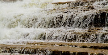
Parks Canada's water management team continues to actively monitor water levels and flows, and weather forecasts across the Trent-Severn Waterway. These factors are used to determine dam operations on a daily basis for the waterway.
For up-to-date warnings and watches with regards to water levels in your region follow your local conservation authority.
Questions?
Residents with questions or concerns pertaining to water levels and flows on the Trent-Severn Waterway should first refer to their respective Municipality, Conservation Authority or the Ontario Ministry of Natural Resources and Forestry. They are the primary source for relevant flood or drought forecasting information.
Further questions or concerns pertaining to water management on theTrent-Severn Waterway can be sent in writing by sending an email to trentsevern@pc.gc.ca. Please include specific details of the area in question and your contact information.
Please note the Parks Canada telephone line dedicated to water management is active and monitored only during the spring freshet (thaw) and in times of flooding.
Parks Canada maintains the Ontario Waterways Water Management InfoNet on the Trent-Severn Waterway website.
The InfoNet contains background information on water management practices, water management updates, frequently asked questions about water management, various reports on water management, and the most recent water level of lakes along the Trent-Severn Waterway.
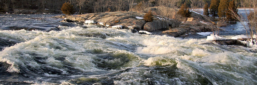
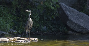
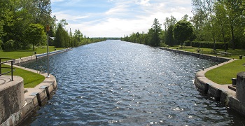
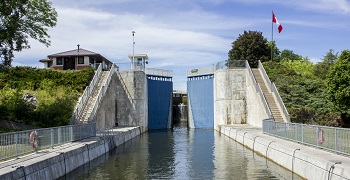
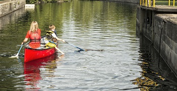
The Trent-Severn Waterway is an interconnected series of lakes, improved river channels and artificial canal cuts stretching for 386 km through the heart of Ontario. The water in the system comes from two major watersheds: Trent and Severn. The Trent River is the largest river in Southern Ontario while Lake Simcoe in the Severn watershed is the largest lake. The Waterway, including its tributary lakes and rivers, is an important economic, environmental and recreational resource used by thousands of boaters, shoreline residents, businesses and vacationers every year. It also provides water for power generation, municipal water supplies, and agriculture and supports a tremendous variety of fish and wildlife.
The Trent-Severn Waterway is divided into four administrative areas, with offices in Campbellford, Lakefield, Kirkfield and Haliburton. Waterway Headquarters is in Peterborough.

The Trent-Severn Waterway also maintains an email list for those wishing to have Water Management Updates sent directly to them via email.
If you would like to be added to our Water Management Update list to receive information as it becomes available, please email: trentsevern@pc.gc.ca
- Date modified :